Haselor Hill
Hill, Mountain in Worcestershire Wychavon
England
Haselor Hill

Haselor Hill is a prominent landmark located in the county of Worcestershire in England. Situated near the village of Haselor, this hill is part of the wider range known as the Cotswolds. Rising to an elevation of approximately 197 meters (646 feet), Haselor Hill offers panoramic views of the picturesque surrounding countryside.
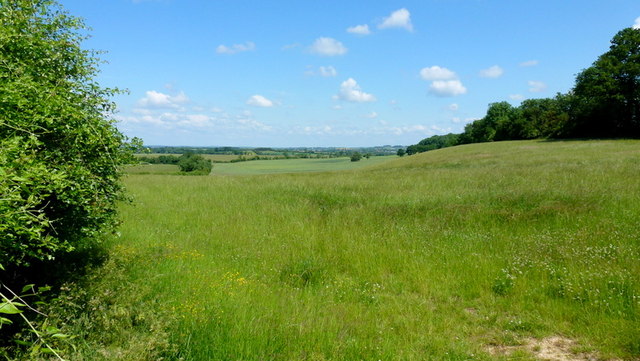
The hill is characterized by its gentle slopes and lush greenery, making it a popular destination for hikers, nature enthusiasts, and photographers. Its accessible location and well-maintained footpaths make it an ideal spot for a leisurely walk or a challenging hike.
The summit of Haselor Hill is crowned by a clump of trees, providing shade and shelter for visitors. From here, one can enjoy breathtaking vistas of the Warwickshire countryside, including rolling hills, quaint villages, and meandering streams. On clear days, it is even possible to catch a glimpse of the Malvern Hills in the distance.
Flora and fauna thrive on Haselor Hill, with a variety of plant species and wildlife inhabiting its slopes. Wildflowers, such as bluebells and primroses, dot the landscape during the spring and summer months, creating a vibrant and colorful display. Birdwatchers may be lucky enough to spot species such as red kites, buzzards, and skylarks soaring overhead.
Overall, Haselor Hill offers a tranquil escape from the hustle and bustle of everyday life, providing visitors with an opportunity to immerse themselves in the natural beauty of Worcestershire's countryside.
If you have any feedback on the listing, please let us know in the comments section below.
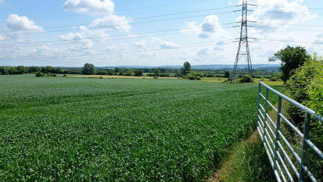
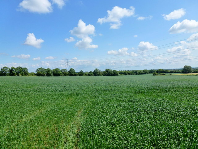
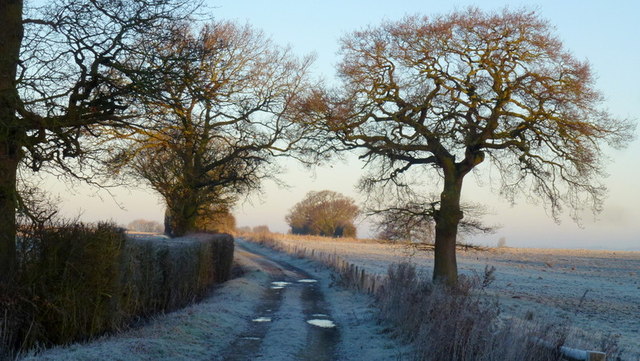
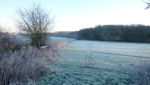
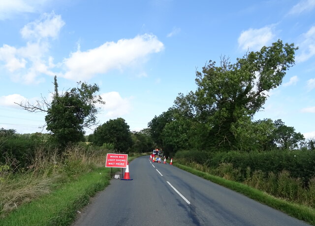
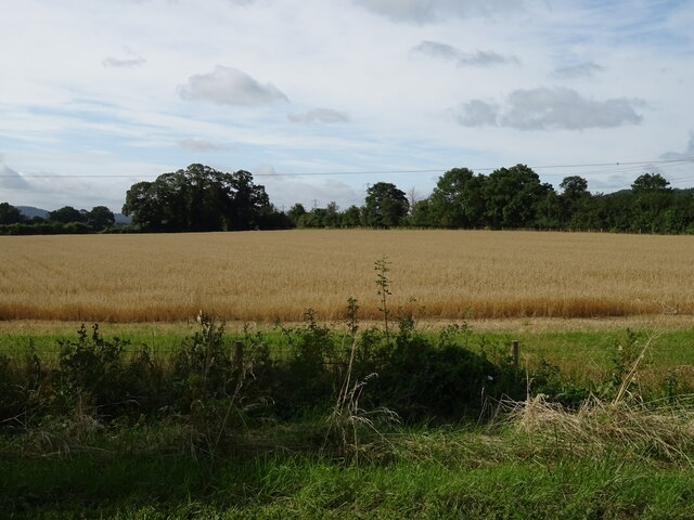
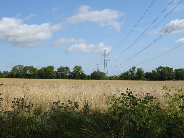
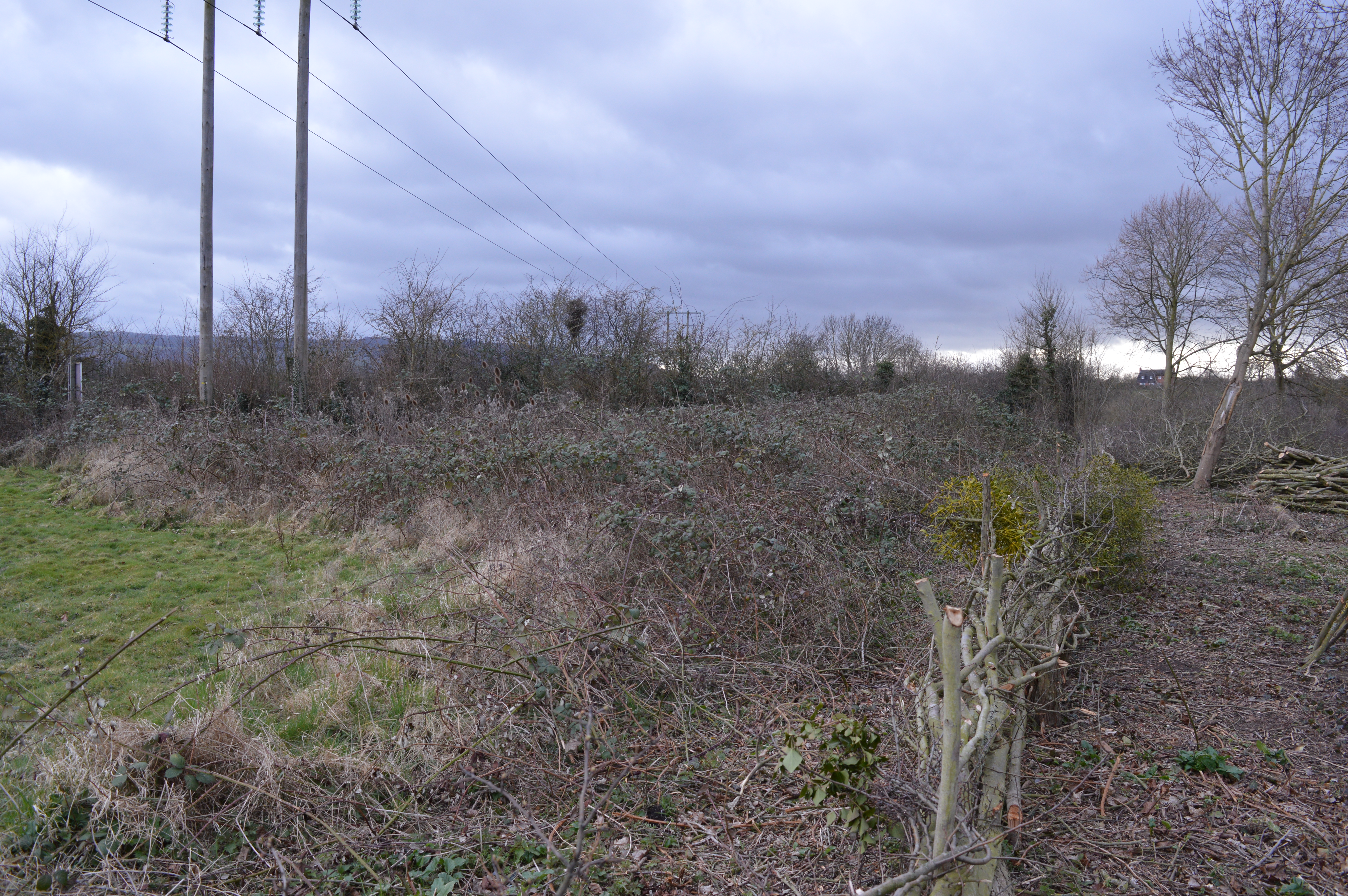
Haselor Hill Images
Images are sourced within 2km of 52.079706/-1.9926874 or Grid Reference SP0042. Thanks to Geograph Open Source API. All images are credited.


Haselor Hill is located at Grid Ref: SP0042 (Lat: 52.079706, Lng: -1.9926874)
Administrative County: Worcestershire
District: Wychavon
Police Authority: West Mercia
What 3 Words
///niece.ever.drilled. Near Evesham, Worcestershire
Nearby Locations
Related Wikis

Netherton, Worcestershire
Netherton is a hamlet with population of 50 living in 20 households. It is part of the civil parish of Elmley Castle, Bricklehampton & Netherton in...

Hampton, Worcestershire
Hampton is an area of Evesham in Worcestershire, England having formerly been a separate village. It is linked to the nearby town of Evesham by the ancient...
Cropthorne New Inn Section
Cropthorne New Inn Section is a 0.12-hectare (0.30-acre) geological Site of Special Scientific Interest in Cropthorne in Worcestershire. It is a Geological...
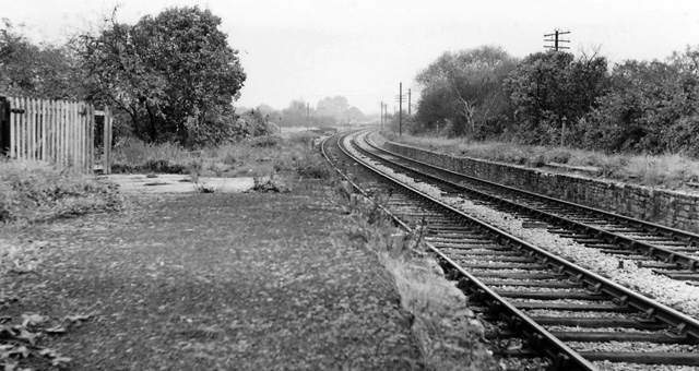
Bengeworth railway station
Bengeworth railway station was a station on the Midland Railway between Ashchurch and Evesham. The precise location of the station was not in the Evesham...
Nearby Amenities
Located within 500m of 52.079706,-1.9926874Have you been to Haselor Hill?
Leave your review of Haselor Hill below (or comments, questions and feedback).