Beggars' Hill

Hill, Mountain in Staffordshire Stafford

England

Beggars' Hill

Pasture and housing near Little Haywood in Staffordshire Looking north-north-east from the Trent and Mersey Canal, across the railway, towards Haywood House and other buildings in Main Road.
Pasture and housing near Little Haywood in Staffordshire Credit: Roger Kidd

Beggars' Hill is a prominent geographical feature located in the county of Staffordshire, England. Situated near the town of Cannock, it is part of the picturesque Cannock Chase Area of Outstanding Natural Beauty. Despite its name, Beggars' Hill is not a hill or a mountain in the traditional sense, but rather a sizeable elevated area surrounded by undulating terrain.

The hill is characterized by its rugged landscape, with a mixture of woodland, grassland, and heathland covering its slopes. It reaches an elevation of approximately 250 meters (820 feet) above sea level, offering stunning panoramic views of the surrounding countryside. The terrain is quite rocky in parts, with exposed sandstone outcrops and occasional boulders dotting the landscape.

One of the notable features of Beggars' Hill is its historical significance. It is believed to have been named after the beggars who sought refuge in the area during the medieval period. Additionally, the hill has a rich mining heritage, with evidence of coal mining dating back several centuries.

Today, Beggars' Hill is a popular destination for outdoor enthusiasts and nature lovers. It offers numerous walking trails, allowing visitors to explore its diverse flora and fauna. The hill is also home to a variety of wildlife, including deer, foxes, and a wide range of bird species.

Overall, Beggars' Hill in Staffordshire is a captivating natural landmark, renowned for its scenic beauty, historical significance, and recreational opportunities.

If you have any feedback on the listing, please let us know in the comments section below.

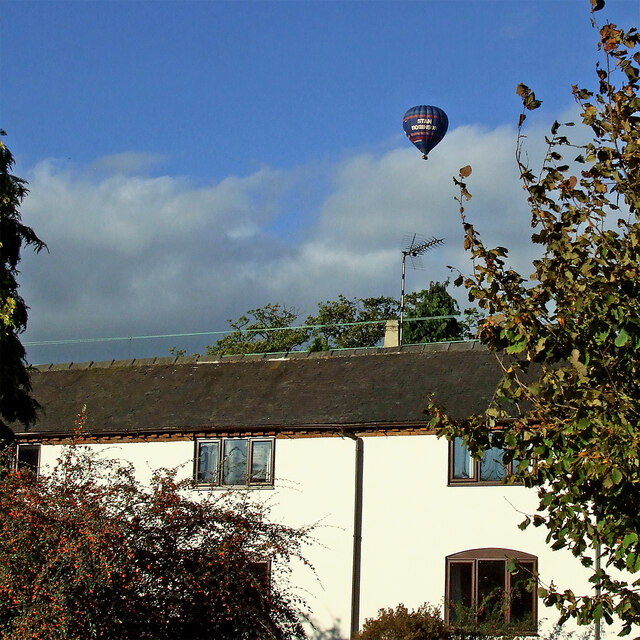
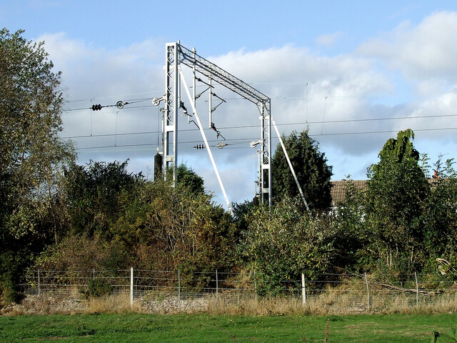
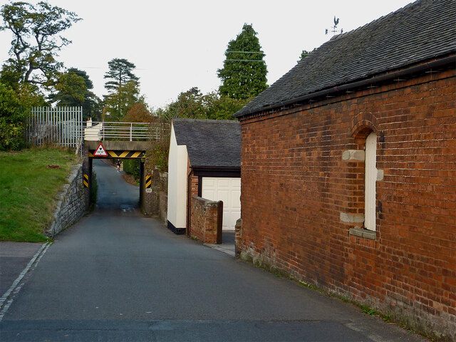
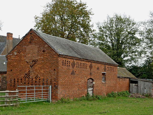
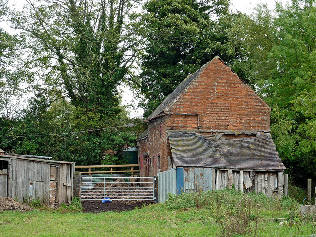
Beggars' Hill Images

Images are sourced within 2km of 52.781756/-1.992619 or Grid Reference SK0020. Thanks to Geograph Open Source API. All images are credited.

Pasture and housing near Little Haywood in Staffordshire Looking north-north-east from the Trent and Mersey Canal, across the railway, towards Haywood House and other buildings in Main Road.
Pasture and housing near Little Haywood in Staffordshire
Looking north-north-east from the Trent and Mersey Canal, across the railway, towards Haywood House and other buildings in Main Road.
Pasture and housing near Little Haywood in Staffordshire Looking north from the Trent and Mersey Canal, across the railway, towards Haywood House and other buildings in Main Road.
Pasture and housing near Little Haywood in Staffordshire
Looking north from the Trent and Mersey Canal, across the railway, towards Haywood House and other buildings in Main Road.
Lock Cottage with balloon Looking north from Colwich Lock, Little Haywood, in Staffordshire
Lock Cottage with balloon
Looking north from Colwich Lock, Little Haywood, in Staffordshire
Railway gantry near Little Haywood in Staffordshire Looking north from the canal towpath. The house is in Hawkesmore Drive. The railway line is between Rugeley and Stone.
Railway gantry near Little Haywood in Staffordshire
Looking north from the canal towpath. The house is in Hawkesmore Drive. The railway line is between Rugeley and Stone.
Meadow Lane in Little Haywood, Staffordshire Looking north-east towards Main Road from near the canal bridge.
Meadow Lane in Little Haywood, Staffordshire
Looking north-east towards Main Road from near the canal bridge.
The Red Lion in Little Haywood, Staffordshire A friendly Marston's pub on Main Road in the village.
The Red Lion in Little Haywood, Staffordshire
A friendly Marston's pub on Main Road in the village.
The Lamb and Flag in Little Haywood, Staffordshire This pub is in Main Road at the junction with Meadow Lane.
The Lamb and Flag in Little Haywood, Staffordshire
This pub is in Main Road at the junction with Meadow Lane.
Milestone in Little Haywood, Staffordshire This is in Main Road opposite the Lamb and Flag public house.
Milestone in Little Haywood, Staffordshire
This is in Main Road opposite the Lamb and Flag public house.
Canalside barns in Colwich, Staffordshire Seen from the towpath of the Trent and Mersey Canal.
Canalside barns in Colwich, Staffordshire
Seen from the towpath of the Trent and Mersey Canal.
Old barn in Colwich, Staffordshire Seen from the towpath of the Trent and Mersey Canal.
Old barn in Colwich, Staffordshire
Seen from the towpath of the Trent and Mersey Canal.
Barn with dilapidated shed in Colwich, Staffordshire Seen from the towpath of the Trent and Mersey Canal.
Barn with dilapidated shed in Colwich, Staffordshire
Seen from the towpath of the Trent and Mersey Canal.
Ford at the Wolseley Centre Footbridges are available nearby. The Wolseley Centre is the HQ of the Staffordshire Wildlife Trust, with extensive grounds, two lakes and a cafe and gift shop.
Ford at the Wolseley Centre
Footbridges are available nearby. The Wolseley Centre is the HQ of the Staffordshire Wildlife Trust, with extensive grounds, two lakes and a cafe and gift shop.
Swan Lake, the Wolseley Centre Despite the name of the lake, it's Canada geese that are flying in. The Wolseley Centre is the HQ of the Staffordshire Wildlife Trust, with extensive grounds, two lakes and a cafe and gift shop.
Swan Lake, the Wolseley Centre
Despite the name of the lake, it's Canada geese that are flying in. The Wolseley Centre is the HQ of the Staffordshire Wildlife Trust, with extensive grounds, two lakes and a cafe and gift shop.
Path in the 'Wet Meadow', the Wolseley Centre The Wolseley Centre is the HQ of the Staffordshire Wildlife Trust, with extensive grounds, two lakes, a cafe and a gift shop.
Path in the 'Wet Meadow', the Wolseley Centre
The Wolseley Centre is the HQ of the Staffordshire Wildlife Trust, with extensive grounds, two lakes, a cafe and a gift shop.
Footbridge at the Wolseley Centre Funded by a Rotary Club. The Wolseley Centre is the HQ of the Staffordshire Wildlife Trust, with extensive grounds, two lakes, a cafe and a gift shop.
Footbridge at the Wolseley Centre
Funded by a Rotary Club. The Wolseley Centre is the HQ of the Staffordshire Wildlife Trust, with extensive grounds, two lakes, a cafe and a gift shop.
Canada geese on Swan Lake, the Wolseley Centre The Wolseley Centre is the HQ of the Staffordshire Wildlife Trust, with extensive grounds, two lakes, a cafe and a gift shop.
Canada geese on Swan Lake, the Wolseley Centre
The Wolseley Centre is the HQ of the Staffordshire Wildlife Trust, with extensive grounds, two lakes, a cafe and a gift shop.
The fernery at the Wolseley Centre A plaque reads 'Planted in memory of Margaret Kingston (1934 - 2011) from dionations given to Friends of Cannock Chase in her memory'. The Wolseley Centre is the HQ of the Staffordshire Wildlife Trust, with extensive grounds, two lakes, a cafe and a gift shop.
The fernery at the Wolseley Centre
A plaque reads 'Planted in memory of Margaret Kingston (1934 - 2011) from dionations given to Friends of Cannock Chase in her memory'. The Wolseley Centre is the HQ of the Staffordshire Wildlife Trust, with extensive grounds, two lakes, a cafe and a gift shop.
Spider's web artwork at the Wolseley Centre The Wolseley Centre is the HQ of the Staffordshire Wildlife Trust, with extensive grounds, two lakes, a cafe and a gift shop.
Spider's web artwork at the Wolseley Centre
The Wolseley Centre is the HQ of the Staffordshire Wildlife Trust, with extensive grounds, two lakes, a cafe and a gift shop.
Show me another place!

Beggars' Hill is located at Grid Ref: SK0020 (Lat: 52.781756, Lng: -1.992619)

Administrative County: Staffordshire

District: Stafford

Police Authority: Staffordshire

What 3 Words

///moped.huts.upstarts. Near Colwich, Staffordshire

Nearby Locations

Beggars' Hill

Related Wikis

Colwich rail crash

The Colwich rail crash occurred on the evening of Friday 19 September 1986 at Colwich Junction, Staffordshire, England. It was significant in that it...

Colwich railway station

Colwich railway station is a disused railway station in Colwich, Staffordshire, England. The former station is adjacent to Colwich Junction, where the...

St Mary's Abbey, Colwich

Saint Mary's Abbey in Colwich, Staffordshire was a monastery of Roman Catholic nuns of the English Benedictine Congregation, founded in 1623 at Cambrai...

Colwich, Staffordshire

Colwich is a civil parish and village in Staffordshire, England. It is situated off the A51 road, about 3 miles (5 km) north-west of Rugeley and 7 miles...

Little Haywood

Little Haywood is a village in Staffordshire, England. For population details as taken at the 2011 census see under Colwich. It lies beside a main arterial...

Colwich Junction

Colwich Junction is a rail junction near the village of Little Haywood, in the county of Staffordshire, England. It is the junction between two routes...

Wolseley Hall

Wolseley Hall was a stately home near the village of Colwich, in Staffordshire, England. It was demolished in 1966; the former gardens are now a nature...

Wolseley Centre

The Wolseley Centre is a visitor centre and nature reserve of the Staffordshire Wildlife Trust, in Staffordshire, England, about 2 miles (3 km) north-west...

Nearby Amenities

Located within 500m of 52.781756,-1.992619
Bus Stop
Meadow Lane
Bus: yes
Naptan AtcoCode: 3800C752001
Naptan Bearing: E
Naptan CommonName: Meadow Lane
Naptan Indicator: Adj
Naptan Street: A513
Naptan Verified: no
Public Transport: platform
Source: naptan_import
Lat/Long: 52.784297/-1.9962268
Bus Stop
Meadow Lane
Bus: yes
Naptan AtcoCode: 3800C752002
Naptan Bearing: W
Naptan CommonName: Meadow Lane
Naptan Indicator: Opp
Naptan Street: A513
Naptan Verified: no
Public Transport: platform
Source: naptan_import
Lat/Long: 52.7841489/-1.9962784
Milestone
Lat/Long: 52.7841765/-1.9959684
Power: pole
Lat/Long: 52.7825113/-1.9855079
Power: pole
Lat/Long: 52.7829245/-1.9864334
Power: pole
Lat/Long: 52.7832584/-1.9871766
Power: pole
Lat/Long: 52.7821772/-1.9856347
Oakedge Hall
Historic: archaeological_site
Historic Civilization: modern
Lat/Long: 52.7816262/-1.9882272
The data included in this document is from www.openstreetmap.org. The data is made available under ODbL.

Have you been to Beggars' Hill?

Leave your review of Beggars' Hill below (or comments, questions and feedback).