Buckton Moor
Hill, Mountain in Cheshire
England
Buckton Moor
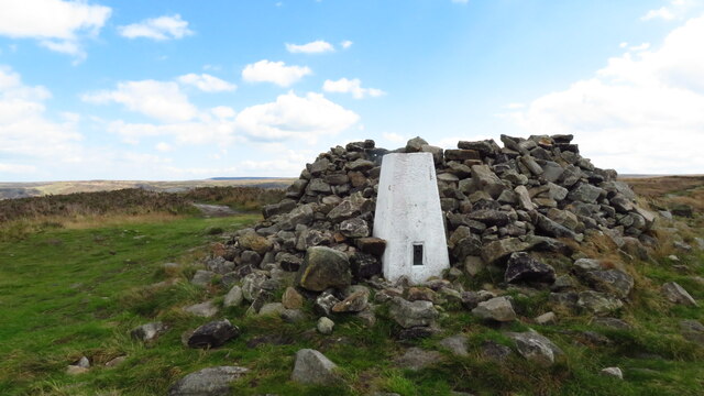
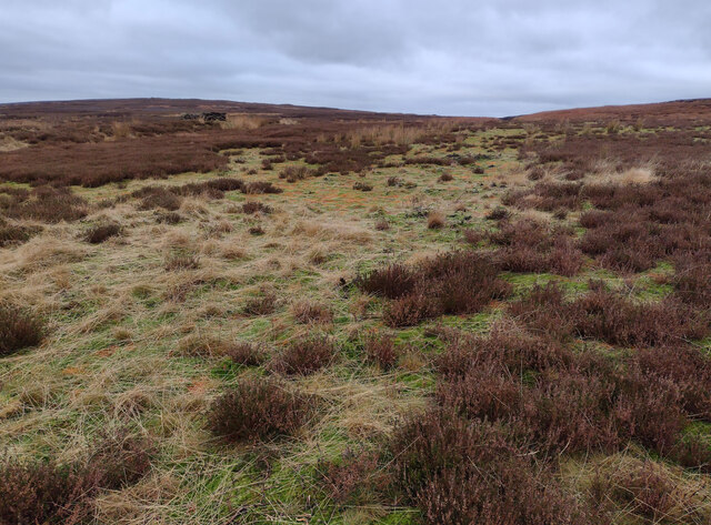
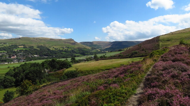
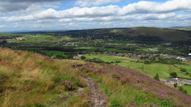
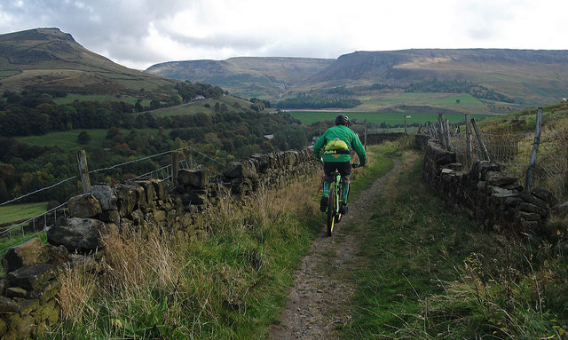
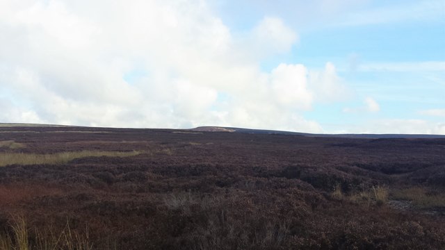
Buckton Moor is a small hill located in the county of Cheshire, England. Situated near the village of Rainow, the hill offers picturesque views of the surrounding countryside and is a popular destination for hikers and nature enthusiasts.
With an elevation of approximately 380 meters (1,247 feet), Buckton Moor is not considered a mountain but rather a hill. It is part of the Pennine range, which stretches from northern England to the Scottish border. The hill is primarily composed of gritstone and offers a challenging terrain for those looking to explore its slopes.
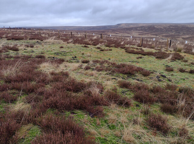
The area surrounding Buckton Moor is known for its diverse wildlife and natural beauty. It is home to a variety of plant species, including heather, bracken, and mosses. The hill also provides a habitat for several bird species, such as curlews, lapwings, and buzzards.
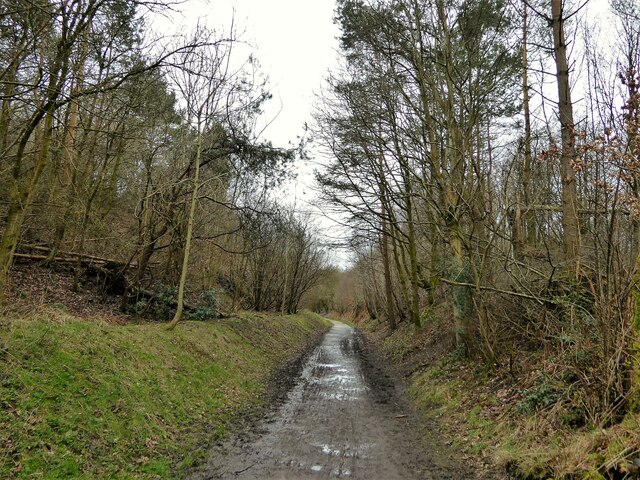
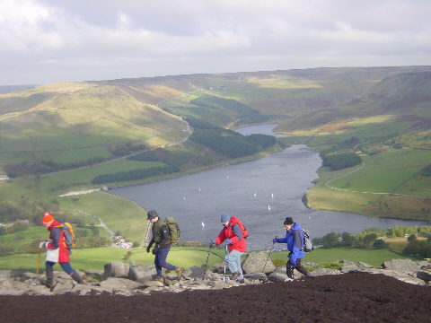
Hikers visiting Buckton Moor can enjoy a range of walking routes, with options suitable for both beginners and experienced trekkers. The most popular trail is the Rainow and Kerridge Circular Walk, which takes visitors on a scenic journey through the rolling hills and valleys of the area.
Buckton Moor is easily accessible by car, with parking available near the village of Rainow. It is advisable to check local weather conditions before visiting, as the hill can become muddy and slippery during wet periods. Overall, Buckton Moor offers a tranquil escape for those seeking to immerse themselves in the natural beauty of Cheshire's countryside.
If you have any feedback on the listing, please let us know in the comments section below.
Buckton Moor Images
Images are sourced within 2km of 53.51431/-2.0096732 or Grid Reference SD9901. Thanks to Geograph Open Source API. All images are credited.
Buckton Moor is located at Grid Ref: SD9901 (Lat: 53.51431, Lng: -2.0096732)
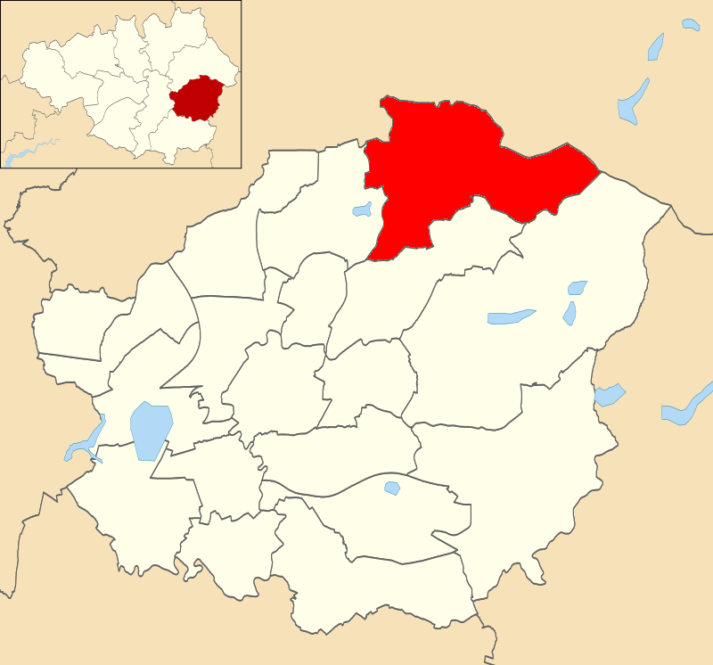
Unitary Authority: Tameside
Police Authority: Greater Manchester
What 3 Words
///slung.command.tailing. Near Mossley, Manchester
Nearby Locations
Related Wikis

Buckton Castle
Buckton Castle was a medieval enclosure castle near Carrbrook in Stalybridge, Greater Manchester, England. It was surrounded by a 2.8-metre-wide (9 ft...

Heyheads
Heyheads is the easternmost area of Stalybridge, in Greater Manchester, England. The area includes the sixteenth century Grade II listed Nos 1, 2 and 3...
Mossley Hollins High School
Mossley Hollins High School is a coeducational secondary school located in Mossley, in the borough of Tameside, Greater Manchester. The school's original...
Mossley (ward)
Mossley is an electoral ward of Tameside, England. It is represented in Westminster by Jonathan Reynolds Labour Co-operative MP for Stalybridge and Hyde...

Micklehurst railway station
Micklehurst Railway Station served the town of Mossley in Cheshire. It was built by the London and North Western Railway on its Micklehurst Line. The...

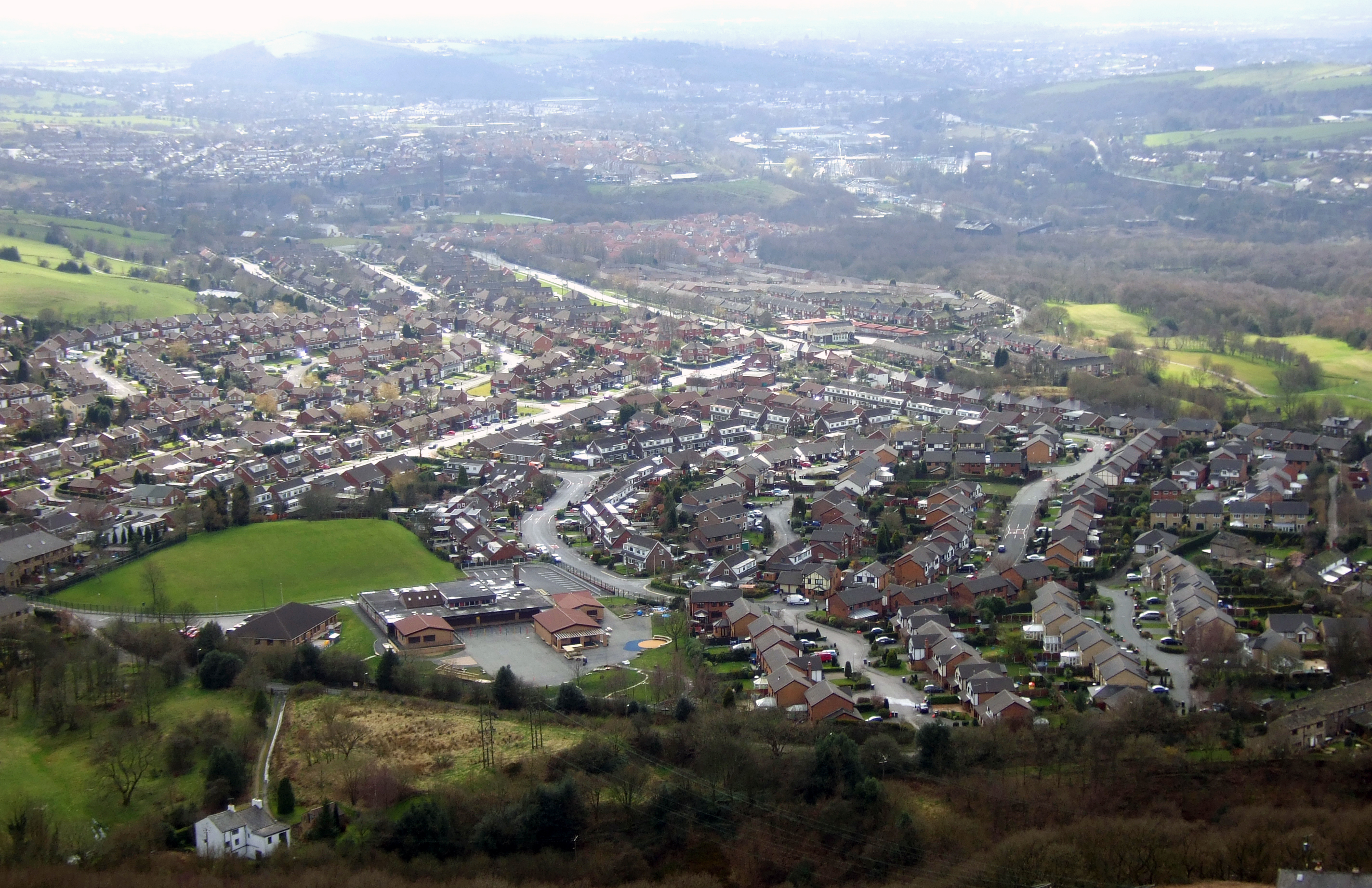
Mossley
Mossley (/ˈmɒzli/) is a town and civil parish in Tameside, Greater Manchester, England. It is located in the upper Tame Valley and the foothills of the...

Harridge Pike
Harridge Pike is a hill situated within the boundaries of Stalybridge, Greater Manchester just outside the Peak District National Park. Its western flank...
Carrbrook
Carrbrook is a village east of Stalybridge, in Cheshire, Greater Manchester, England. The area still has many seventeenth and eighteenth-century buildings...
Nearby Amenities
Located within 500m of 53.51431,-2.0096732Have you been to Buckton Moor?
Leave your review of Buckton Moor below (or comments, questions and feedback).