Cowbury Dale
Valley in Cheshire
England
Cowbury Dale
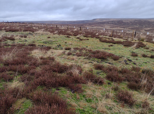
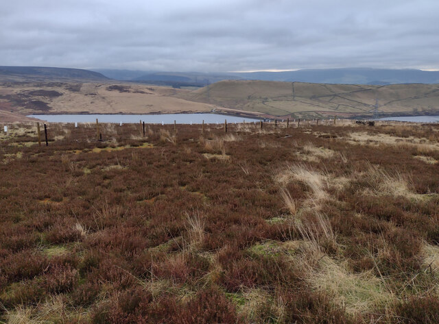
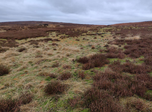
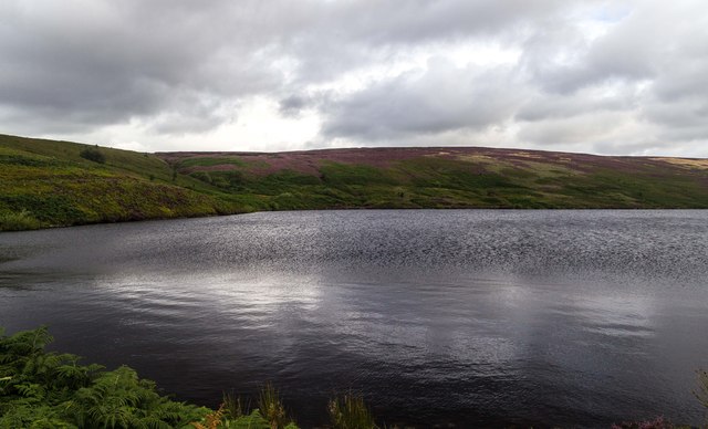
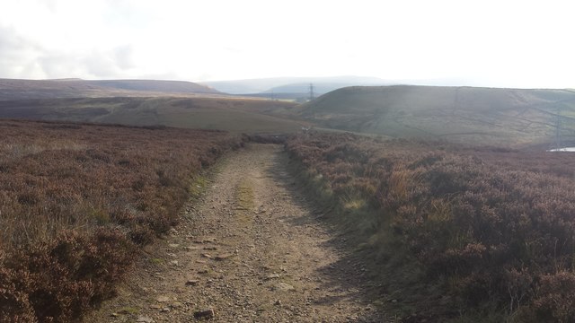
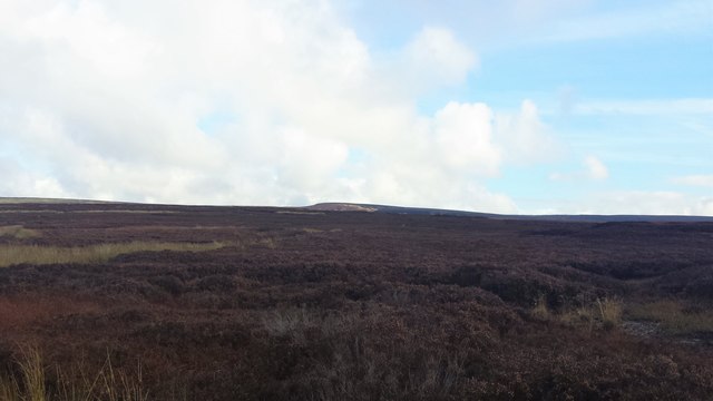
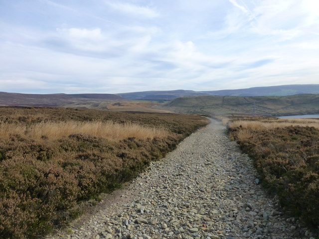
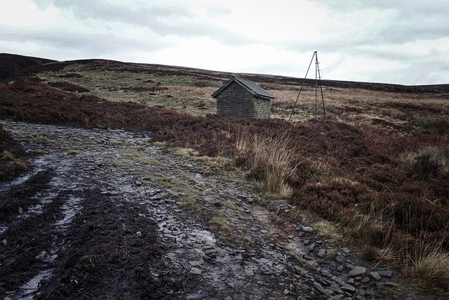
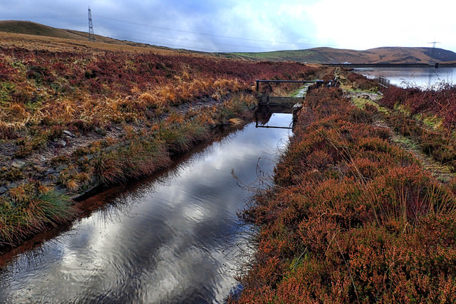
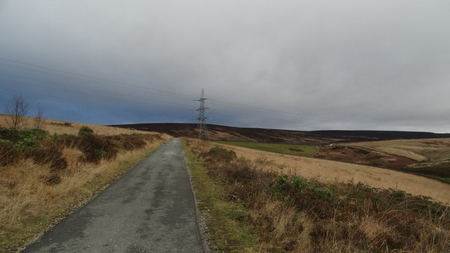
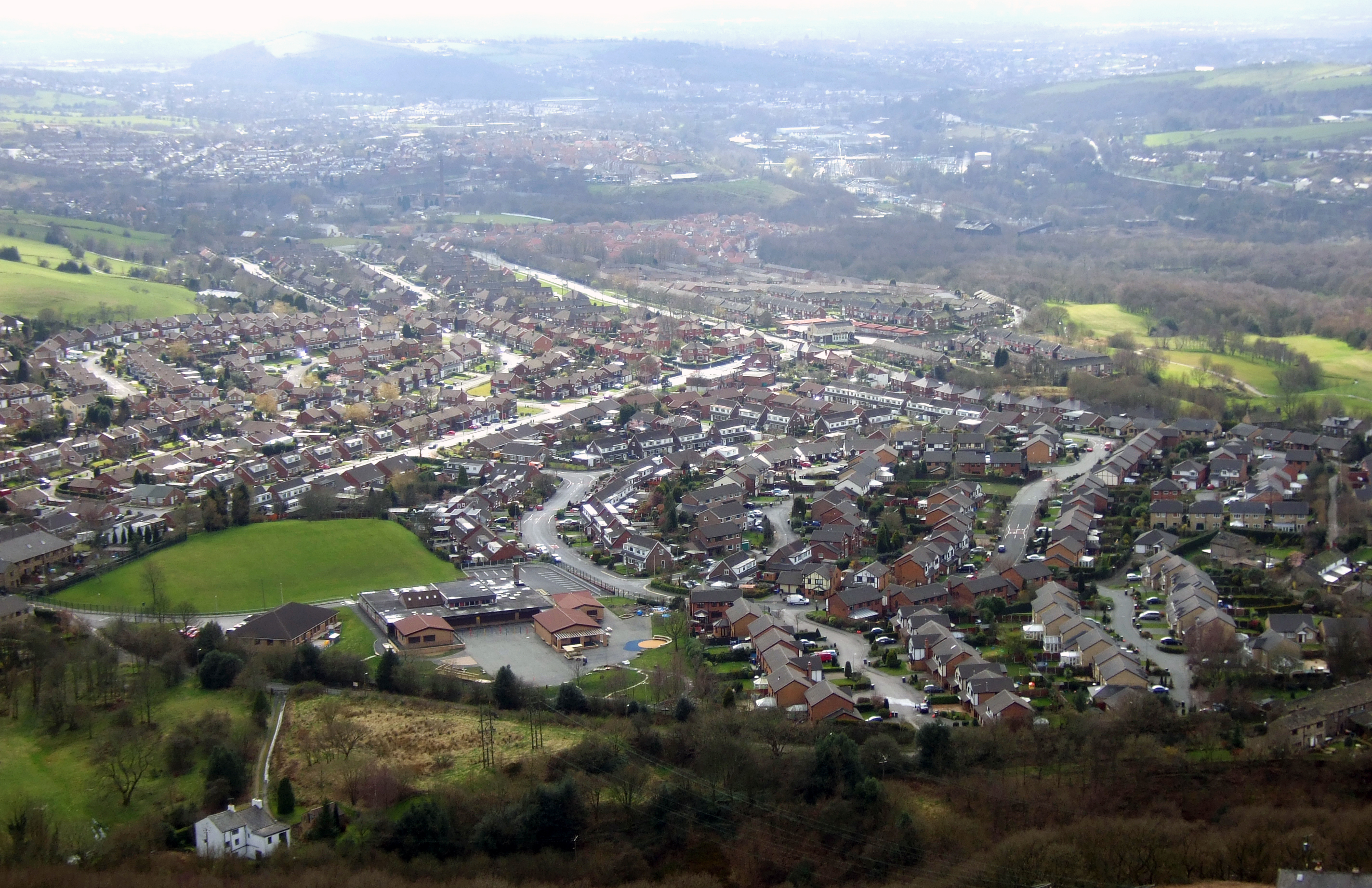
Cowbury Dale is a picturesque valley located in the county of Cheshire, England. Situated within the larger region of the Peak District National Park, this charming dale is known for its stunning natural beauty and tranquil atmosphere. The valley is nestled between rolling hills, lush green meadows, and ancient woodlands, creating a breathtaking landscape that attracts both locals and tourists alike.
The name "Cowbury Dale" reflects the historical significance of the area as a prime grazing land for cattle in the past. Today, the dale remains a pastoral paradise, with cows peacefully grazing in the meadows, adding to its idyllic charm.
In addition to its natural beauty, Cowbury Dale offers a range of outdoor recreational activities. The valley is crisscrossed by several footpaths and hiking trails, allowing visitors to explore the area and enjoy the stunning views. The dale is also popular among nature lovers and birdwatchers, as it is home to a diverse array of flora and fauna, including rare wildflowers and various bird species.
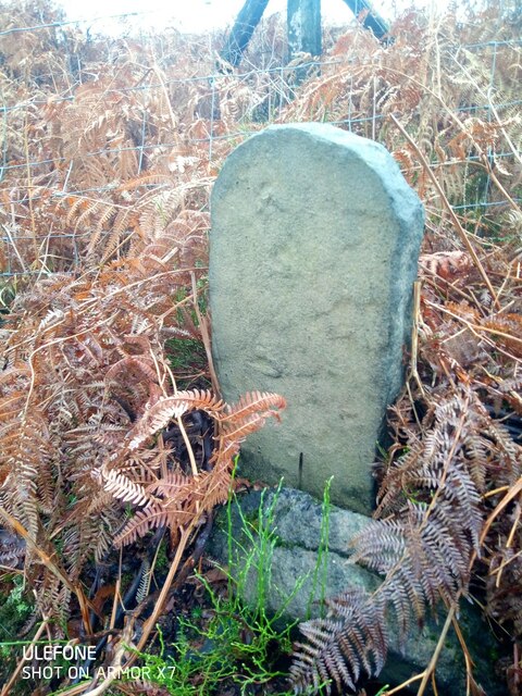
Cowbury Dale boasts a rich cultural heritage as well. The nearby villages and towns are dotted with traditional stone cottages, historic churches, and quaint pubs, offering visitors a glimpse into the region's past. The local community takes pride in preserving the area's heritage and promoting sustainable tourism.
Overall, Cowbury Dale is a hidden gem in Cheshire, offering visitors a chance to escape the hustle and bustle of everyday life and immerse themselves in the beauty of nature. Whether it's a leisurely stroll, a challenging hike, or simply a moment of tranquility, this valley has something to offer everyone.
If you have any feedback on the listing, please let us know in the comments section below.
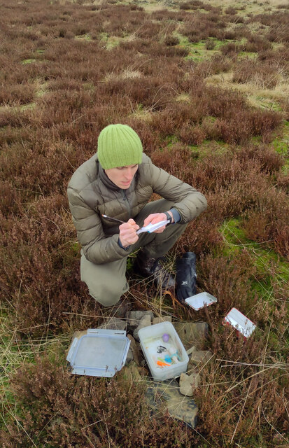
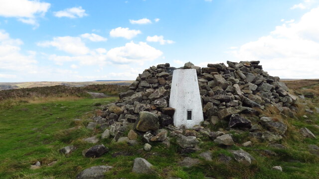
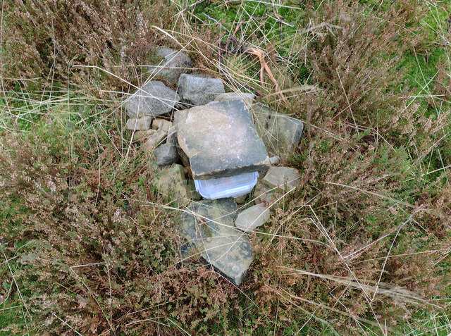
Cowbury Dale Images
Images are sourced within 2km of 53.507622/-2.0083146 or Grid Reference SD9901. Thanks to Geograph Open Source API. All images are credited.


Cowbury Dale is located at Grid Ref: SD9901 (Lat: 53.507622, Lng: -2.0083146)
Unitary Authority: Tameside
Police Authority: Greater Manchester
What 3 Words
///closets.parkland.jaundice. Near Mossley, Manchester
Nearby Locations
Related Wikis

Buckton Castle
Buckton Castle was a medieval enclosure castle near Carrbrook in Stalybridge, Greater Manchester, England. It was surrounded by a 2.8-metre-wide (9 ft...

Harridge Pike
Harridge Pike is a hill situated within the boundaries of Stalybridge, Greater Manchester just outside the Peak District National Park. Its western flank...

Heyheads
Heyheads is the easternmost area of Stalybridge, in Greater Manchester, England. The area includes the sixteenth century Grade II listed Nos 1, 2 and 3...
Carrbrook
Carrbrook is a village east of Stalybridge, in Cheshire, Greater Manchester, England. The area still has many seventeenth and eighteenth-century buildings...
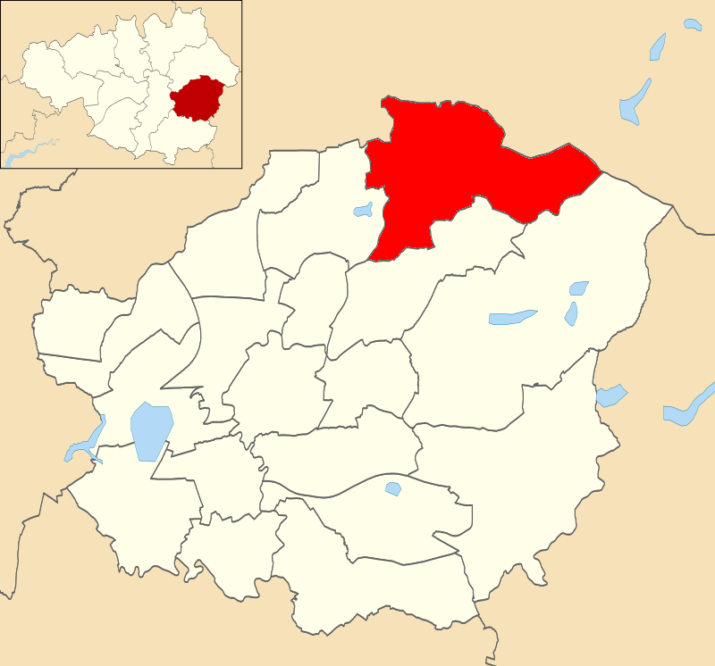
Mossley (ward)
Mossley is an electoral ward of Tameside, England. It is represented in Westminster by Jonathan Reynolds Labour Co-operative MP for Stalybridge and Hyde...
Mossley Hollins High School
Mossley Hollins High School is a coeducational secondary school located in Mossley, in the borough of Tameside, Greater Manchester. The school's original...

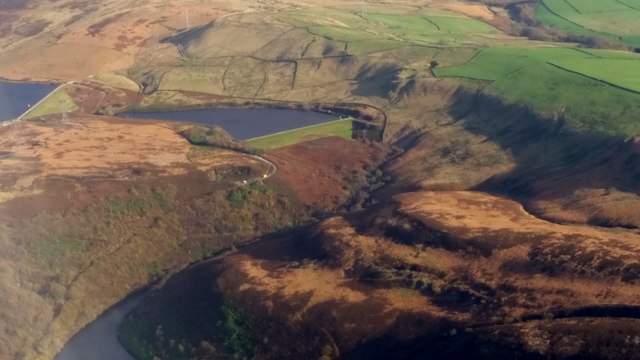
Higher Swineshaw Reservoir
For the reservoirs near Glossop, in Derbyshire, see Upper Swineshaw Reservoir and Swineshaw Reservoir (Derbyshire) Higher Swineshaw Reservoir is the...

Stalybridge South (ward)
Stalybridge South is an electoral ward of Tameside, England. It is represented in Westminster by Jonathan Reynolds Labour Co-operative MP for Stalybridge...
Nearby Amenities
Located within 500m of 53.507622,-2.0083146Have you been to Cowbury Dale?
Leave your review of Cowbury Dale below (or comments, questions and feedback).