Pickerstone Ridge

Hill, Mountain in Yorkshire Richmondshire

England

Pickerstone Ridge

Above Carperby One of several Landrover tracks which make for easy walking over bleak moorlands.
Above Carperby Credit: Colin Gregory

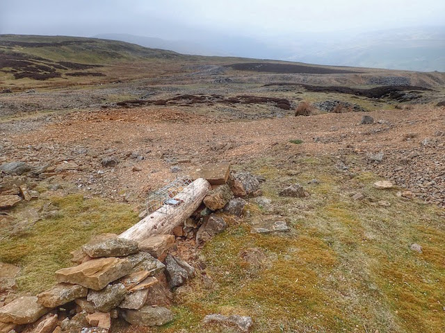
Pickerstone Ridge is a prominent hill located in the picturesque region of Yorkshire, England. Standing proud at an elevation of approximately 400 meters (1,300 feet), it forms part of the Pennine range, which stretches across northern England. The ridge offers breathtaking panoramic views of the surrounding landscape, making it a popular destination for outdoor enthusiasts and nature lovers.

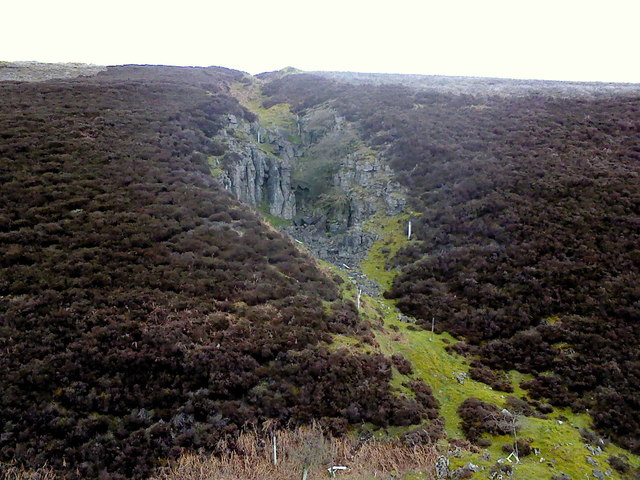
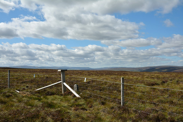
Covered in lush green vegetation, Pickerstone Ridge boasts a diverse range of flora and fauna. The hillside is adorned with heather, grasses, and wildflowers, providing a vibrant and colorful display throughout the year. This vibrant ecosystem supports a variety of wildlife, including birds such as red grouse, curlews, and skylarks.

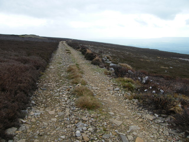
Hikers and walkers flock to Pickerstone Ridge to explore its extensive network of trails and paths, which cater to all levels of experience. The routes meander through the hillside, offering opportunities to admire the stunning views, discover hidden valleys, and witness the breathtaking beauty of the Yorkshire countryside.

For those seeking a challenge, the steep slopes of Pickerstone Ridge present an excellent opportunity for mountain climbers and hill runners. The ridge offers a thrilling ascent, rewarding those who reach its summit with magnificent vistas across the surrounding rolling hills and valleys.

Pickerstone Ridge is a true gem within Yorkshire's natural landscape. Its combination of stunning views, diverse wildlife, and exhilarating outdoor activities make it an ideal destination for both locals and tourists looking to immerse themselves in the beauty of the region.

If you have any feedback on the listing, please let us know in the comments section below.

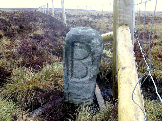
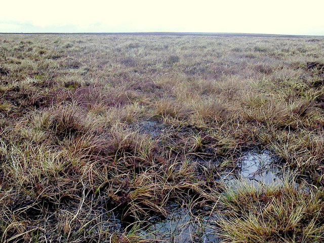
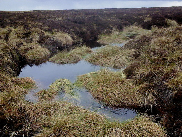
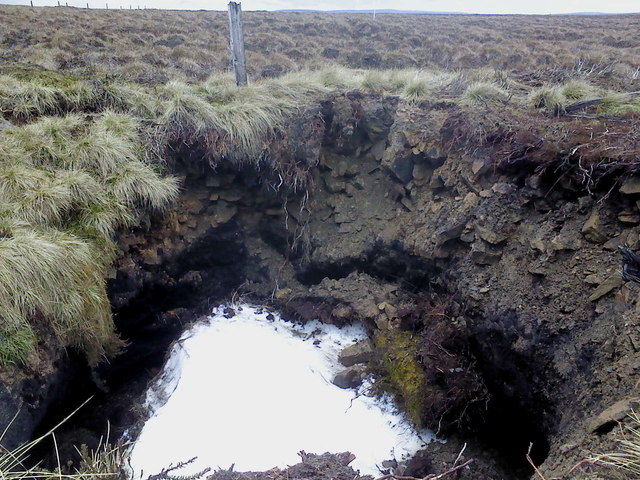
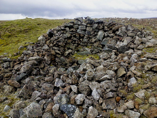
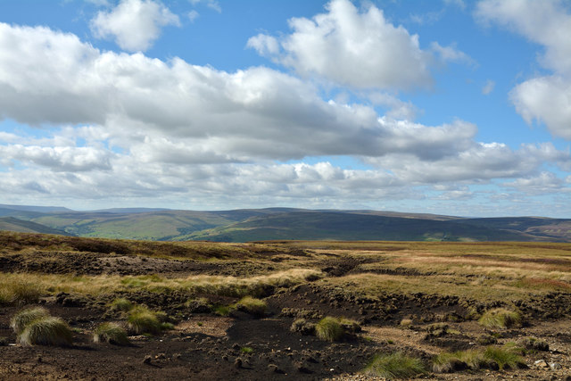
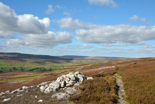
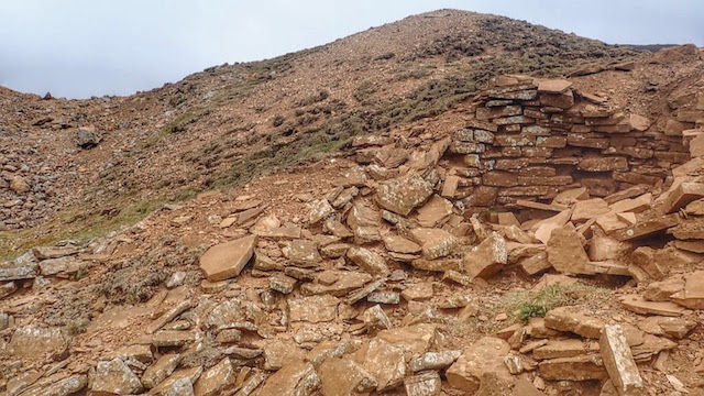
Pickerstone Ridge Images

Images are sourced within 2km of 54.347457/-2.0097346 or Grid Reference SD9994. Thanks to Geograph Open Source API. All images are credited.

Above Carperby One of several Landrover tracks which make for easy walking over bleak moorlands.
Above Carperby
One of several Landrover tracks which make for easy walking over bleak moorlands.
Mine Level near Apedale Beck The level was covered over by these wooden posts and has recently been dug out, judging by the colour of the spoil around the entrance.
Mine Level near Apedale Beck
The level was covered over by these wooden posts and has recently been dug out, judging by the colour of the spoil around the entrance.
Old Hush, Apedale Head Mine Apedale Head Mine had its own community of houses for the miners working around here. The mine was begun in the 1760's and worked continuously until 1883.
Old Hush, Apedale Head Mine
Apedale Head Mine had its own community of houses for the miners working around here. The mine was begun in the 1760's and worked continuously until 1883.
Summit area of High Carl High Carl is a moorland hill top near to Apedale Head. The fence crosses close to the hill's highest point which may well be just beyond the fence line - OS mapping gives a spot height in that direction, west of the fence angle, at 555m. The low boundary stone is cut with a 'B' on the south side which is in view; there's the letter 'F' on the other side.
Summit area of High Carl
High Carl is a moorland hill top near to Apedale Head. The fence crosses close to the hill's highest point which may well be just beyond the fence line - OS mapping gives a spot height in that direction, west of the fence angle, at 555m. The low boundary stone is cut with a 'B' on the south side which is in view; there's the letter 'F' on the other side.
South Grain With evidence of former lead mining activities.
South Grain
With evidence of former lead mining activities.
Pond, Apedale Head A former pit shaft I think.
Pond, Apedale Head
A former pit shaft I think.
The Big "B" Boundary stone on Apedale Head. The "B" is for Bolton. Although it could quite easily be for bog!
The Big "B"
Boundary stone on Apedale Head. The "B" is for Bolton. Although it could quite easily be for bog!
Across the bog A whole lot of splashing & squelching in this area of Virgin Moss.
Across the bog
A whole lot of splashing & squelching in this area of Virgin Moss.
Beginning to flow downhill A small stream begins in the boggy waste of Virgin Moss at the head of Apedale.
Beginning to flow downhill
A small stream begins in the boggy waste of Virgin Moss at the head of Apedale.
Snow! A disused mine shaft on Virgin Moss hides a patch of snow from last winter. This mine shaft seems to be actively collapsing in on itself and has the remains of a very old fence around it.
Snow!
A disused mine shaft on Virgin Moss hides a patch of snow from last winter. This mine shaft seems to be actively collapsing in on itself and has the remains of a very old fence around it.
Lunch spot A stone shelter has been built into the side of this old lead mine; with a flat stone utilised as a seat it was quite pleasant.
Lunch spot
A stone shelter has been built into the side of this old lead mine; with a flat stone utilised as a seat it was quite pleasant.
Peat exposures near Apedale Head The location is to the west of Apedale Head where stream grooves begin to gather water that will become Birks Gill which drains into Swaledale, the valley ahead in the image.
Peat exposures near Apedale Head
The location is to the west of Apedale Head where stream grooves begin to gather water that will become Birks Gill which drains into Swaledale, the valley ahead in the image.
Bridleway with cairn near Kendell Bottom Kendell Bottom is a vague hillside location near to Birks Gill and below High Carl above Swaledale, which is the valley below in the image.
Bridleway with cairn near Kendell Bottom
Kendell Bottom is a vague hillside location near to Birks Gill and below High Carl above Swaledale, which is the valley below in the image.
Whitaside Lead Mine
Whitaside Lead Mine
Small Animal Trap, Whitaside Lead Mine Intended to trap weasels and stoats. Usually seen bridging ditches and streams. It seems hopeful that any creature will be trapped here. But the gamekeeper knows best.
Small Animal Trap, Whitaside Lead Mine
Intended to trap weasels and stoats. Usually seen bridging ditches and streams. It seems hopeful that any creature will be trapped here. But the gamekeeper knows best.
Apedale Head
Apedale Head
Apedale High Houses Miner's House : (Abandoned 1857)
Apedale High Houses
Miner's House : (Abandoned 1857)
Gill : Apedale
Gill : Apedale
Show me another place!

Pickerstone Ridge is located at Grid Ref: SD9994 (Lat: 54.347457, Lng: -2.0097346)

Division: North Riding

Administrative County: North Yorkshire

District: Richmondshire

Police Authority: North Yorkshire

What 3 Words

///modes.irrigate.commit. Near Leyburn, North Yorkshire

Related Wikis

Richmondshire

Richmondshire was a local government district of North Yorkshire, England, from 1974 to 2023. It covered a large northern area of the Yorkshire Dales including...

Crackpot, North Yorkshire

Crackpot is a village in Swaledale, North Yorkshire, England. Its name derives from the Old English kraka (crow) and the Viking word pot (usually a pit...

Low Row

Low Row is a village in Swaledale, in the Yorkshire Dales, North Yorkshire, England. It lies about 3 miles west of Reeth and is between Healaugh and Gunnerside...

Feetham

Feetham is a hamlet opposite Low Row in the Yorkshire Dales, North Yorkshire, England. The origin of the place-name is from Old Norse and means place at...

Maiden Castle, North Yorkshire

Maiden Castle is a settlement in Grinton, North Yorkshire (grid reference SE02189808) which probably dates from the Iron Age. It is listed as a Scheduled...

Kearton

Kearton is a hamlet in the Yorkshire Dales, North Yorkshire, England. Kearton is situated near Low Row and Reeth. == References == == External links... ==

Woodhall, North Yorkshire

Woodhall is a small hamlet in Wensleydale, North Yorkshire, England. It is about 2 miles (3 km) away from Askrigg and 3 miles (5 km) north west of Aysgarth...

St Oswald's Church, Castle Bolton

St Oswald's Church, Castle Bolton is a Grade II* listed parish church in the Church of England: 106  located in Castle Bolton, North Yorkshire. == History... ==

Nearby Amenities

Located within 500m of 54.347457,-2.0097346
Pickerstone Ridge
Ele: 566
Natural: peak
Source: gps survey
Lat/Long: 54.3474841/-2.0097137
Virgin Moss
Natural: wetland
Source: OS OpenData StreetView
Lat/Long: 54.3494935/-2.0056605
Hill Top Shaft
Disused: yes
Historic: mine_shaft
Man Made: mineshaft
Note: location approximate
Source: OS OpenData StreetView
Lat/Long: 54.3445031/-2.0058965
The data included in this document is from www.openstreetmap.org. The data is made available under ODbL.

Have you been to Pickerstone Ridge?

Leave your review of Pickerstone Ridge below (or comments, questions and feedback).