Hasket Hill
Hill, Mountain in Yorkshire
England
Hasket Hill
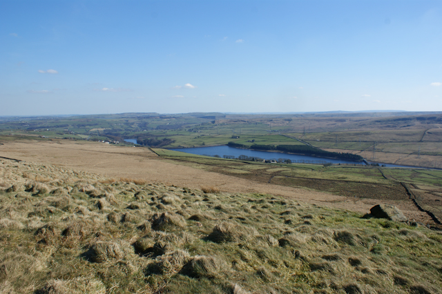
Hasket Hill, located in the county of Yorkshire, England, is a prominent hill and natural landmark that forms part of the picturesque Yorkshire Dales. Standing at an elevation of approximately 300 meters (984 feet), it offers breathtaking panoramic views of the surrounding countryside.
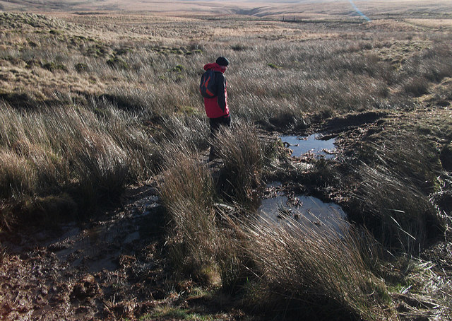
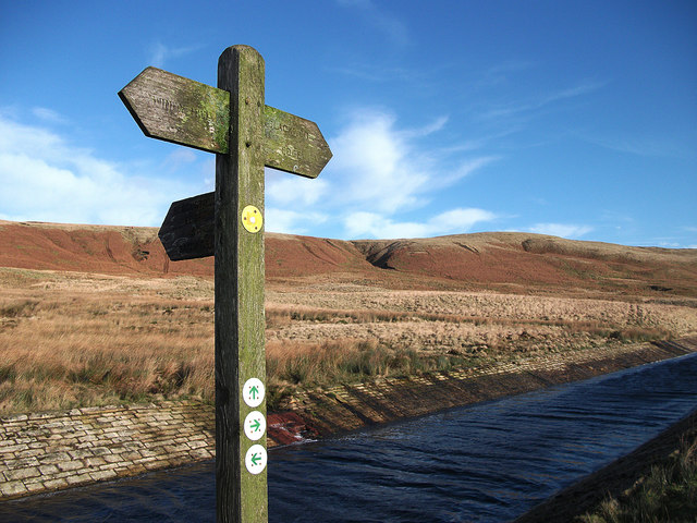
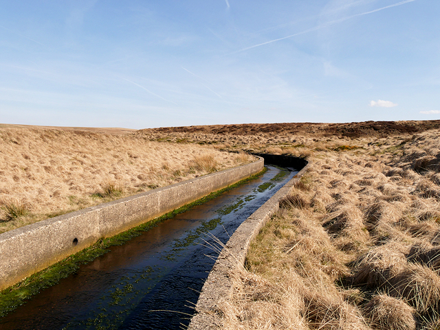
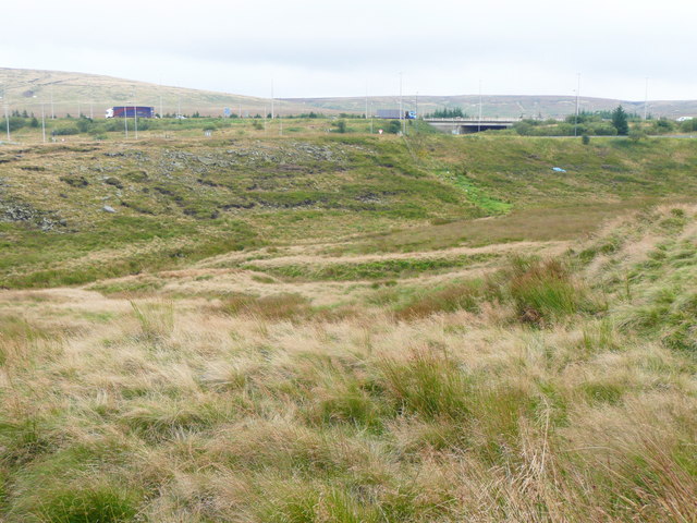
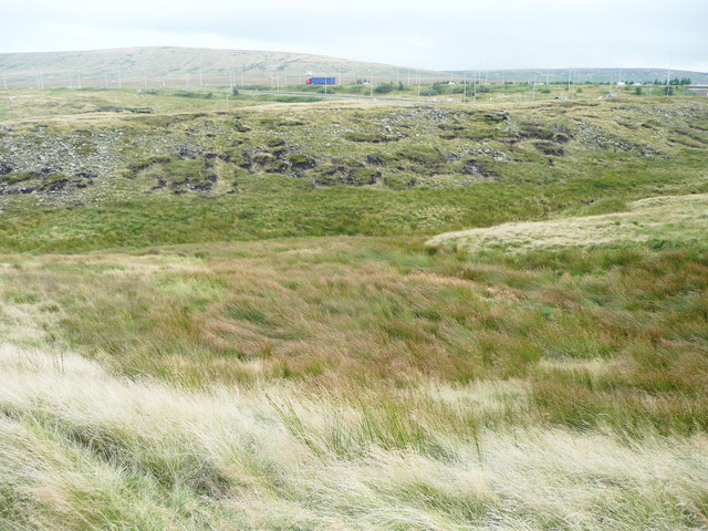
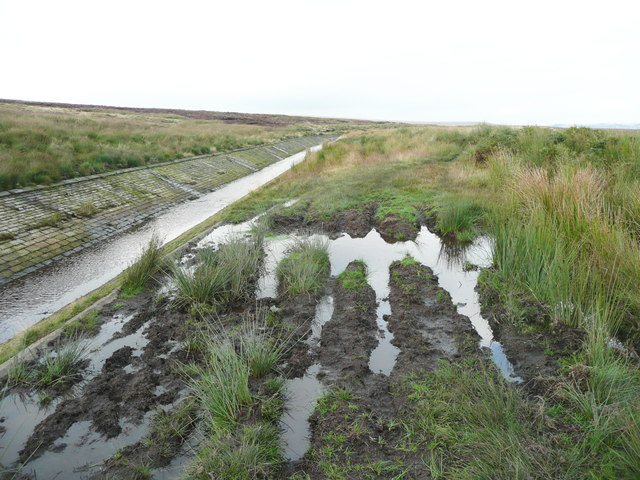
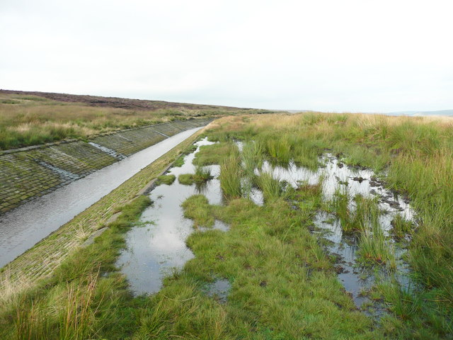
Covered in lush greenery and dotted with vibrant wildflowers during the summer months, Hasket Hill is a popular destination for nature enthusiasts and hikers alike. The hill is characterized by its gentle slopes, making it accessible to walkers of all abilities. A network of well-maintained footpaths and trails crisscross the area, allowing visitors to explore the diverse flora and fauna that call Hasket Hill home.
The summit of Hasket Hill offers unrivaled vistas of the Yorkshire Dales National Park, with its rolling hills, meandering rivers, and charming villages nestled in the valleys. On a clear day, it is even possible to see as far as the distant Pennine Mountains.
Hasket Hill is also steeped in history, with evidence of human habitation dating back thousands of years. Ancient burial mounds and stone circles are scattered across the hill, providing a glimpse into the region's rich past.
Visitors to Hasket Hill can enjoy a tranquil and serene environment, away from the hustle and bustle of urban life. Whether it's a leisurely stroll or a challenging hike, Hasket Hill offers a captivating natural setting that is sure to leave a lasting impression.
If you have any feedback on the listing, please let us know in the comments section below.
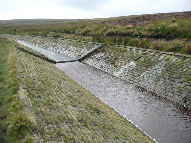
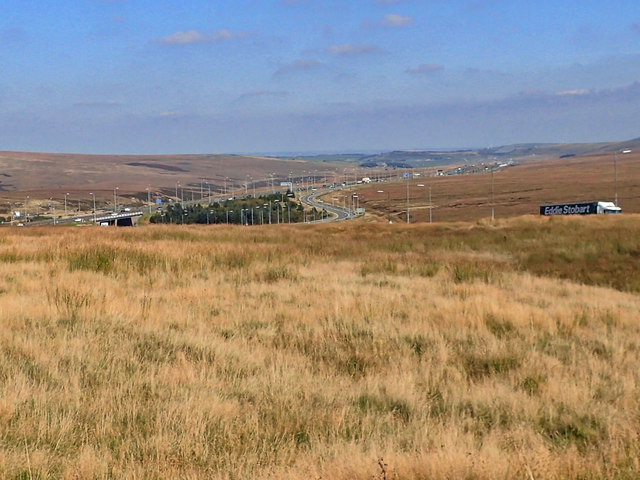
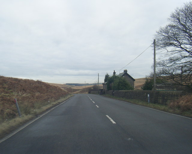
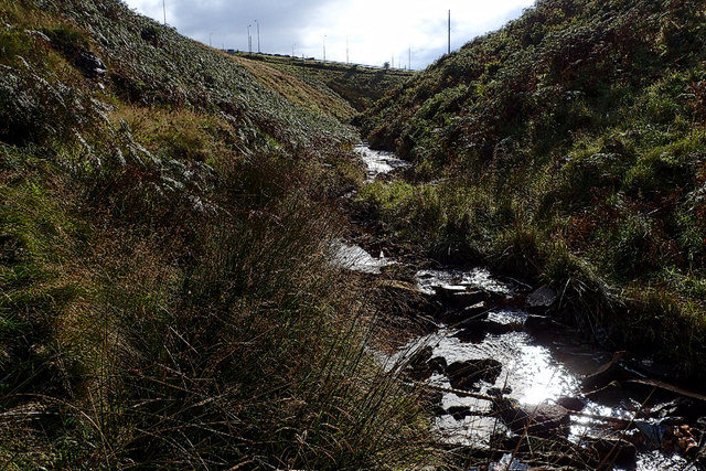
Hasket Hill Images
Images are sourced within 2km of 53.645754/-2.0097645 or Grid Reference SD9916. Thanks to Geograph Open Source API. All images are credited.


Hasket Hill is located at Grid Ref: SD9916 (Lat: 53.645754, Lng: -2.0097645)
Division: West Riding
Unitary Authority: Calderdale
Police Authority: West Yorkshire
What 3 Words
///cowering.prouder.wakes. Near Ripponden, West Yorkshire
Related Wikis

Blackstone Edge
Blackstone Edge ( BLAK-stən) is a gritstone escarpment at 472 metres (1,549 ft) above sea level in the Pennine hills surrounded by moorland on the boundary...
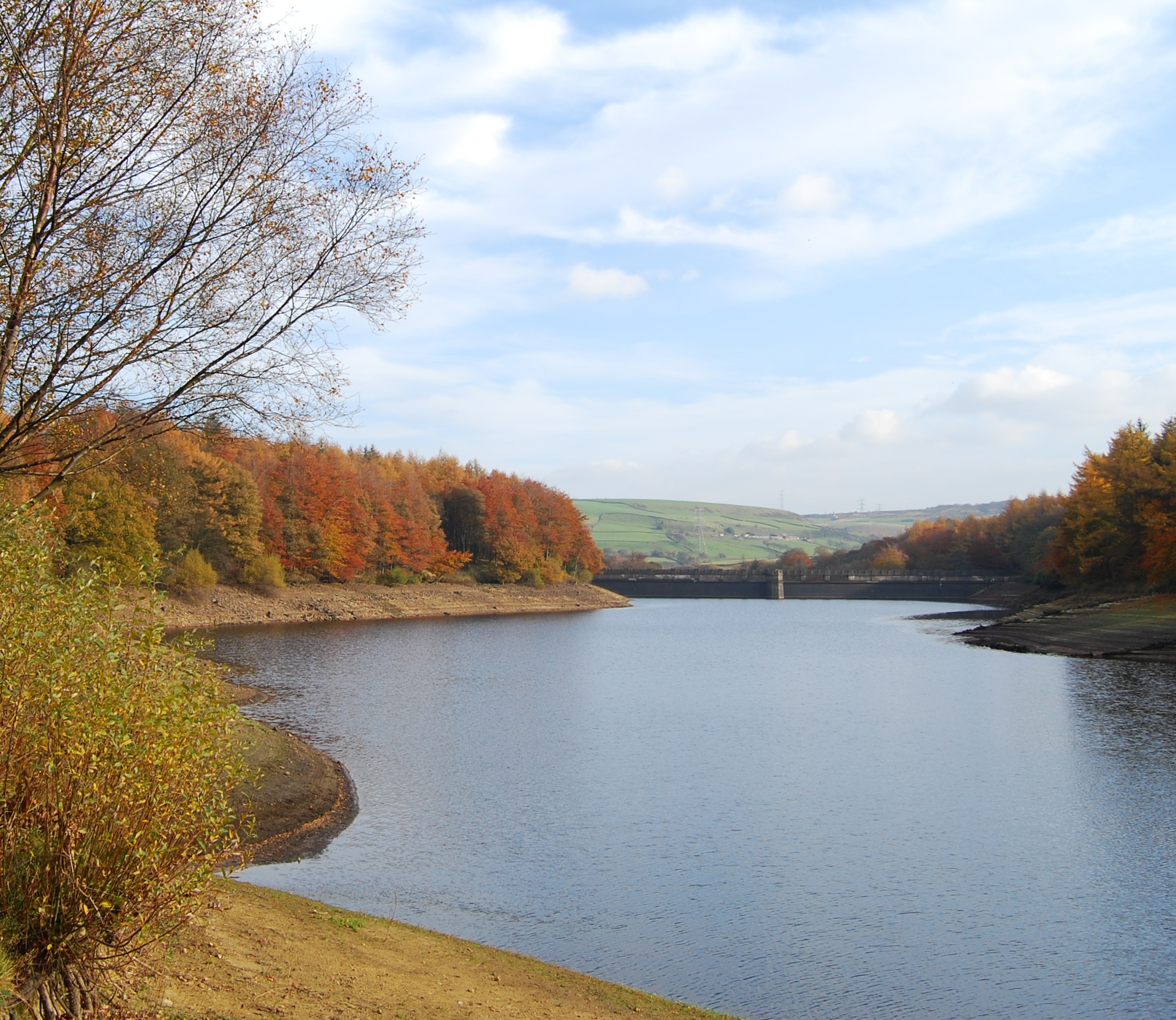
Baitings Reservoir
Baitings Reservoir is a large water supply reservoir operated by Yorkshire Water close to Ripponden in the West Yorkshire Pennines, England. It lies in...

Blackstone Edge Reservoir
Blackstone Edge Reservoir is a reservoir in the Metropolitan Borough of Rochdale, Greater Manchester, England. It is close to Blackstone Edge, from which...

A640 road
The A640 is a road in England which runs between Rochdale in Greater Manchester and Huddersfield in West Yorkshire. The road's most westbound point as...

Booth Wood Reservoir
Booth Wood Reservoir is a man-made upland reservoir that lies north of the M62 motorway and south of the A672 road near to Rishworth and Ripponden in Calderdale...
Ryburn Reservoir
Ryburn Reservoir is a supply reservoir operated by Yorkshire Water close to Ripponden in the Yorkshire Pennines, England. It lies in the valley of the...

Stott Hall Farm
Stott Hall Farm is a farm located between the eastbound and westbound carriageways of the M62 motorway in Calderdale, England. It is the only farm in the...

Norman Hill Reservoir
Norman Hill Reservoir is a reservoir in the Piethorne Valley in the Metropolitan Borough of Rochdale, within Greater Manchester, England. == References ==
Nearby Amenities
Located within 500m of 53.645754,-2.0097645Have you been to Hasket Hill?
Leave your review of Hasket Hill below (or comments, questions and feedback).