Old Washfold Clough
Valley in Yorkshire
England
Old Washfold Clough
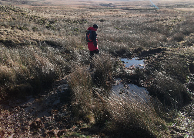
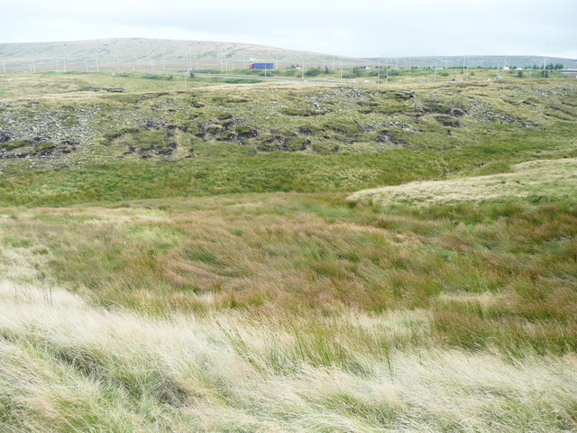
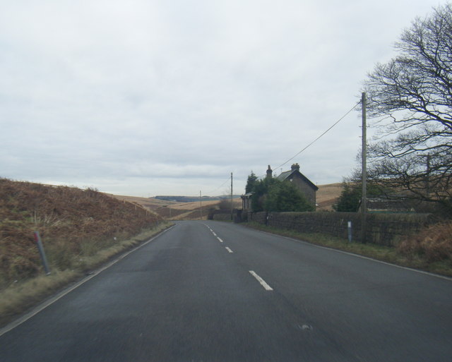
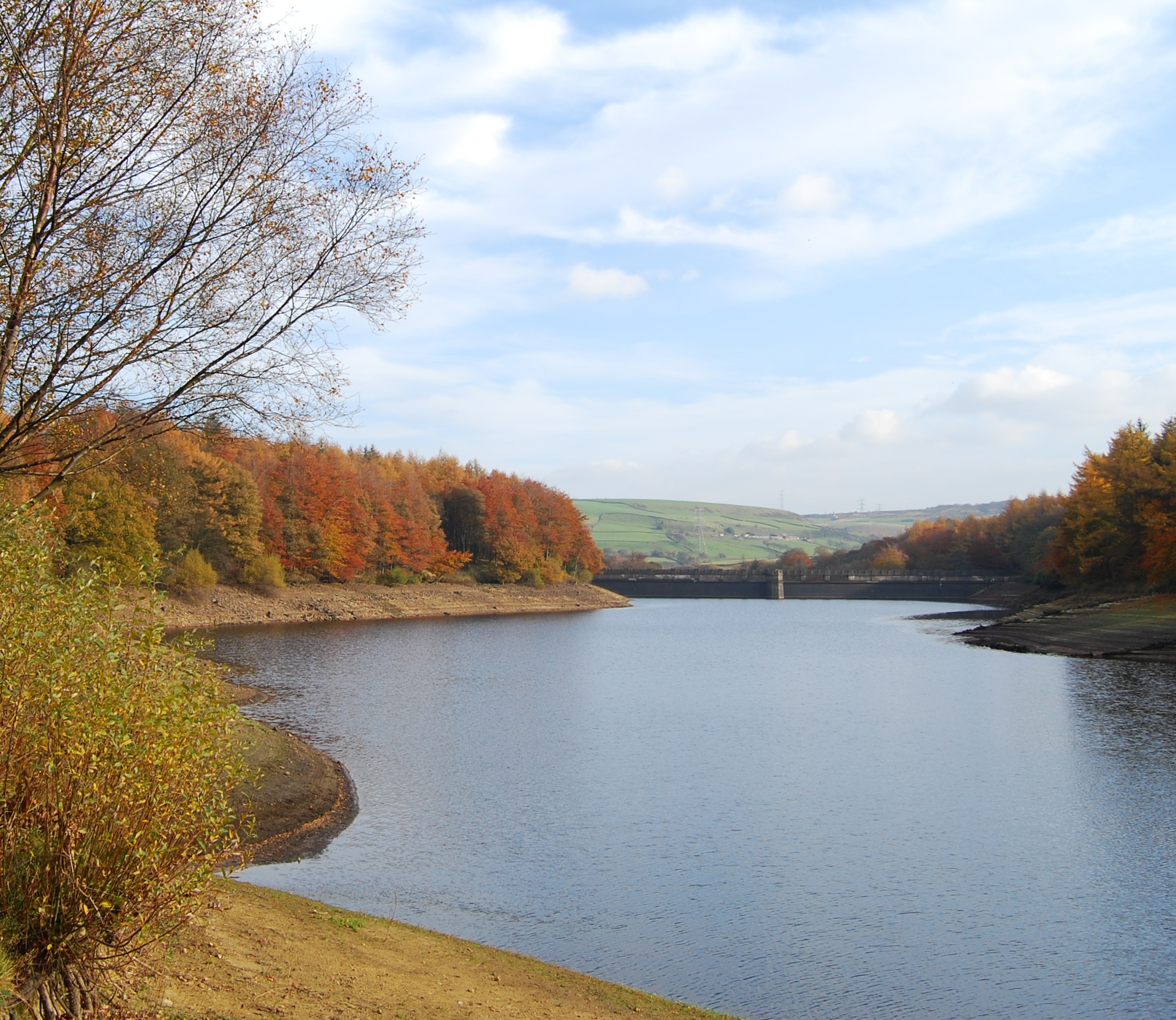
Old Washfold Clough is a picturesque valley located in the county of Yorkshire, England. Nestled amidst the rolling hills of the Yorkshire Dales, this idyllic landscape is a haven for nature lovers and outdoor enthusiasts alike.
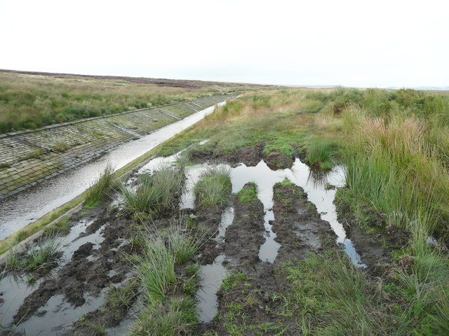
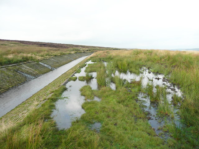
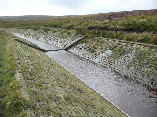
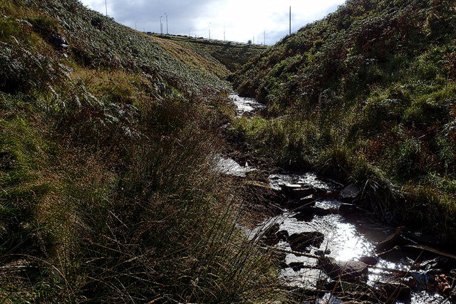
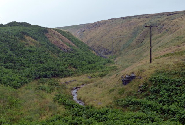
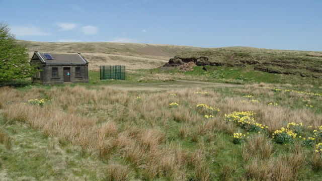
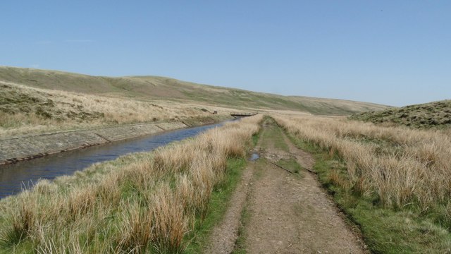
The valley is characterized by its lush green meadows, meandering streams, and towering limestone cliffs. It is dotted with ancient oak and ash trees that provide shade and shelter to a diverse range of flora and fauna. The babbling brooks that flow through the valley are home to a variety of freshwater species, making it a popular spot for anglers and birdwatchers.
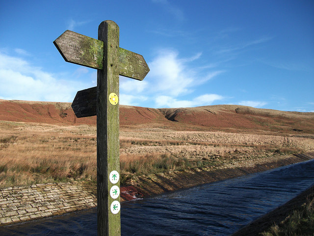
Old Washfold Clough offers a multitude of opportunities for outdoor activities. Hiking and walking trails crisscross the valley, allowing visitors to explore its hidden nooks and crannies. The breathtaking views from atop the limestone cliffs are particularly awe-inspiring, especially during sunrise and sunset.
The valley also has historical significance. Ruins of old stone farmhouses and barns can be found scattered throughout the landscape, serving as a reminder of the area's agricultural past. These remnants of the past add a touch of charm and authenticity to the valley.
Visitors to Old Washfold Clough can enjoy a peaceful retreat away from the hustle and bustle of city life. The tranquil atmosphere and stunning natural beauty make it an ideal destination for those seeking solace in nature. Whether it's a leisurely stroll along the streams or an adventurous hike up the cliffs, this valley offers an unforgettable experience for all who visit.
If you have any feedback on the listing, please let us know in the comments section below.
Old Washfold Clough Images
Images are sourced within 2km of 53.646168/-2.0027608 or Grid Reference SD9916. Thanks to Geograph Open Source API. All images are credited.


Old Washfold Clough is located at Grid Ref: SD9916 (Lat: 53.646168, Lng: -2.0027608)
Division: West Riding
Unitary Authority: Calderdale
Police Authority: West Yorkshire
What 3 Words
///blinking.tigers.songbirds. Near Ripponden, West Yorkshire
Related Wikis
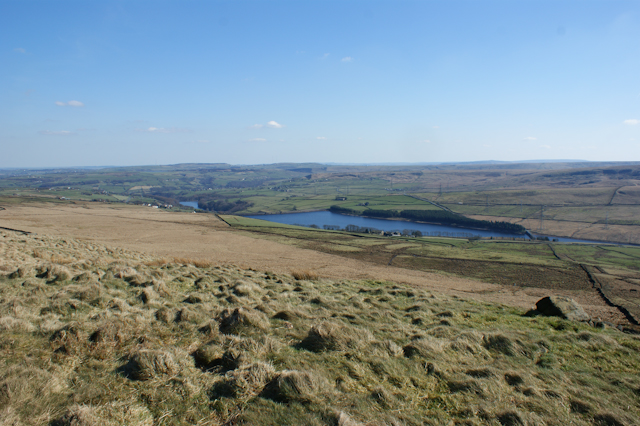
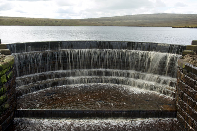
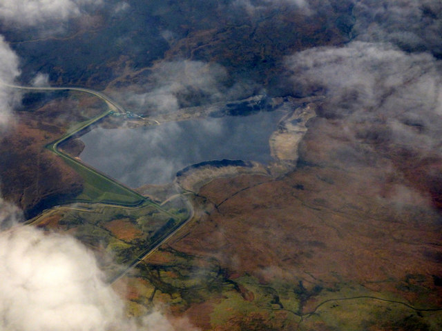
Baitings Reservoir
Baitings Reservoir is a large water supply reservoir operated by Yorkshire Water close to Ripponden in the West Yorkshire Pennines, England. It lies in...

Blackstone Edge
Blackstone Edge ( BLAK-stən) is a gritstone escarpment at 472 metres (1,549 ft) above sea level in the Pennine hills surrounded by moorland on the boundary...

Booth Wood Reservoir
Booth Wood Reservoir is a man-made upland reservoir that lies north of the M62 motorway and south of the A672 road near to Rishworth and Ripponden in Calderdale...
Ryburn Reservoir
Ryburn Reservoir is a supply reservoir operated by Yorkshire Water close to Ripponden in the Yorkshire Pennines, England. It lies in the valley of the...

Blackstone Edge Reservoir
Blackstone Edge Reservoir is a reservoir in the Metropolitan Borough of Rochdale, Greater Manchester, England. It is close to Blackstone Edge, from which...

A640 road
The A640 is a road in England which runs between Rochdale in Greater Manchester and Huddersfield in West Yorkshire. The road's most westbound point as...

Stott Hall Farm
Stott Hall Farm is a farm located between the eastbound and westbound carriageways of the M62 motorway in Calderdale, England. It is the only farm in the...
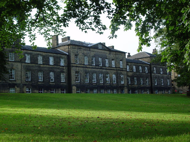
Rishworth School
Rishworth School is a co-educational independent school in the village of Rishworth, near Halifax, in West Yorkshire, England. With Heathfield, its junior...
Nearby Amenities
Located within 500m of 53.646168,-2.0027608Have you been to Old Washfold Clough?
Leave your review of Old Washfold Clough below (or comments, questions and feedback).