Waters Clough
Valley in Yorkshire
England
Waters Clough
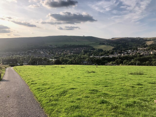
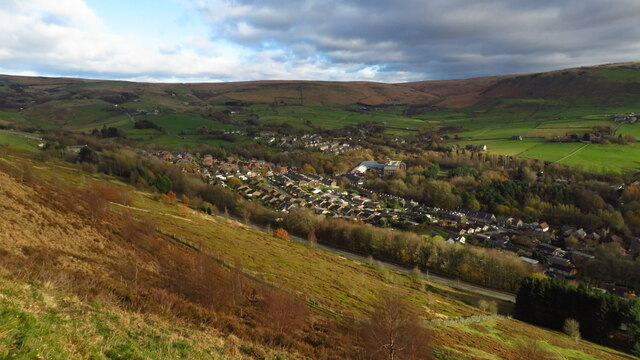
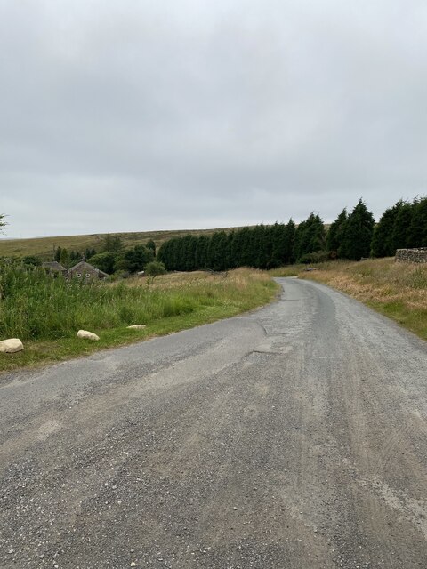
Waters Clough is a picturesque valley located in Yorkshire, England. Nestled within the stunning countryside, this idyllic landscape is known for its natural beauty and tranquil atmosphere. The valley is situated between two rolling hills, providing a sense of seclusion and privacy.
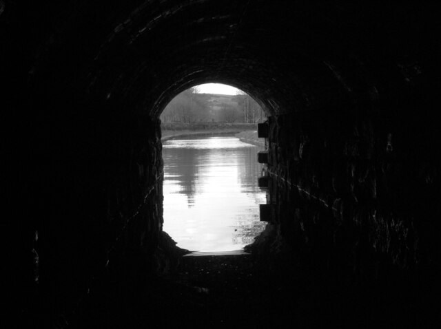
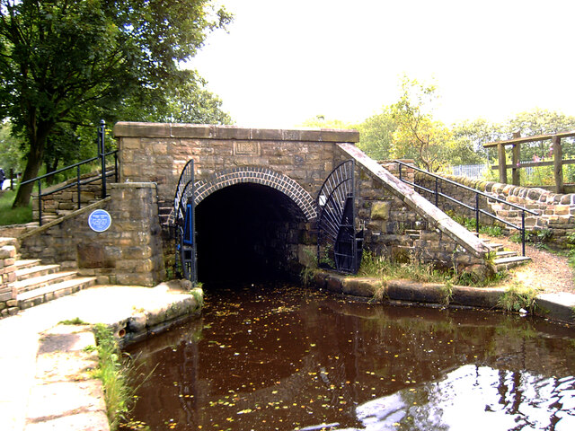
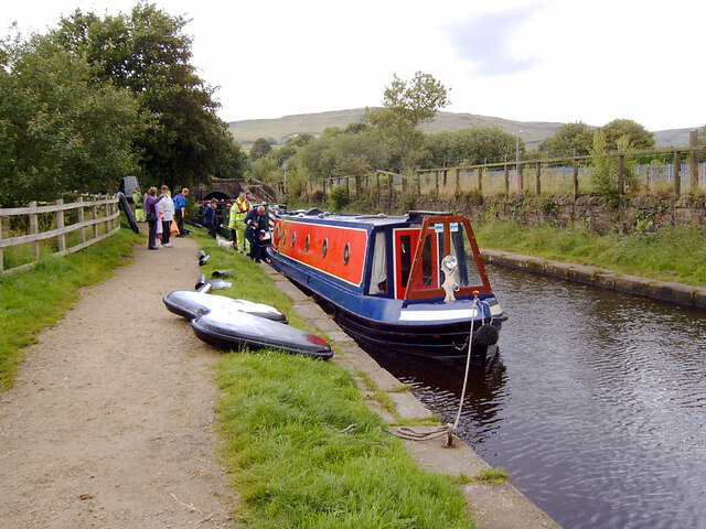
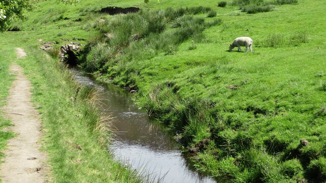
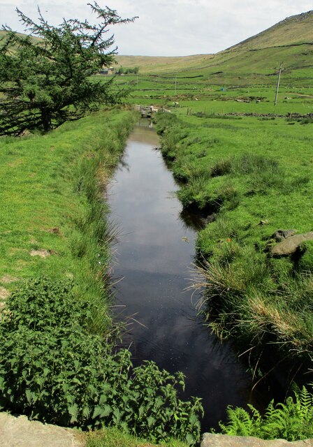
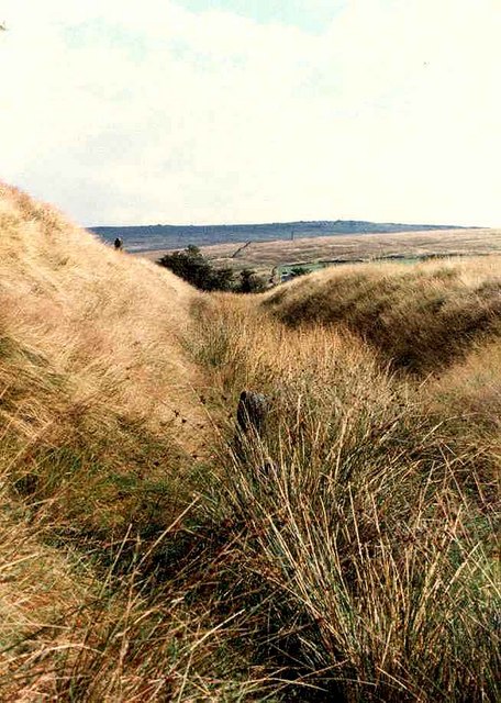
The main feature of Waters Clough is the meandering river that runs through it. The crystal-clear waters wind their way through the valley, creating a soothing ambiance and a haven for local wildlife. The river is home to a variety of fish species, making it a popular spot for anglers and nature enthusiasts.
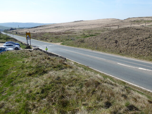
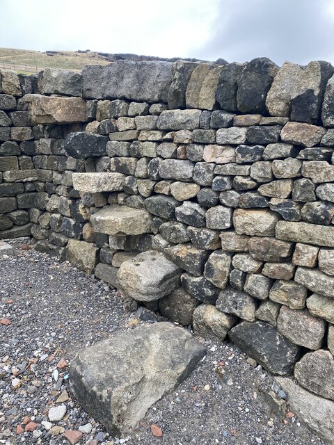
Lush greenery surrounds Waters Clough, with dense forests and vibrant wildflowers adorning the hillsides. The valley is particularly stunning during the spring and summer months when the flowers are in full bloom, adding a burst of color to the landscape.
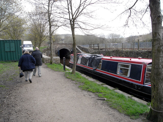
Visitors to Waters Clough can enjoy various outdoor activities such as hiking, cycling, and picnicking. The valley offers an extensive network of trails that cater to all levels of fitness, allowing visitors to explore the area at their own pace. The peaceful surroundings make it an ideal destination for those seeking a break from the hustle and bustle of city life.
The nearby village of Waters Clough provides amenities such as cafes, accommodations, and gift shops, ensuring visitors have everything they need for a comfortable stay. The village retains its traditional charm, with quaint cottages and a welcoming community.
Overall, Waters Clough in Yorkshire is a haven of natural beauty, offering a serene and breathtaking experience for all who visit.
If you have any feedback on the listing, please let us know in the comments section below.
Waters Clough Images
Images are sourced within 2km of 53.581633/-2.0026504 or Grid Reference SD9909. Thanks to Geograph Open Source API. All images are credited.
Waters Clough is located at Grid Ref: SD9909 (Lat: 53.581633, Lng: -2.0026504)
Division: West Riding
Unitary Authority: Oldham
Police Authority: Greater Manchester
What 3 Words
///weekend.glad.september. Near Diggle, Manchester
Nearby Locations
Related Wikis
Castleshaw Roman Fort
Castleshaw Roman fort was a castellum in the Roman province of Britannia. Although there is no evidence to substantiate the claim, it has been suggested...

Castleshaw
Castleshaw is a hamlet in the Saddleworth parish of the Metropolitan Borough of Oldham in Greater Manchester, England. It lies amid the Pennines, 2.4 miles...

Diggle, Greater Manchester
Diggle is a village in the civil parish of the Saddleworth in Metropolitan Borough of Oldham, in Greater Manchester, England. The village is situated on...

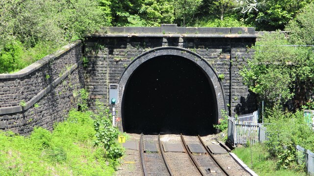
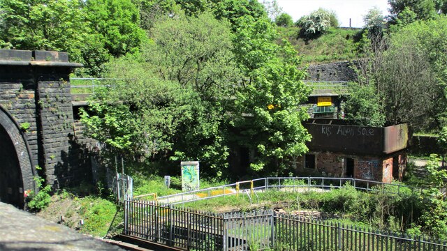
Diggle railway station
Diggle railway station was a station that served the village of Diggle on the Huddersfield Line to the north of Uppermill. Immediately to the west of the...
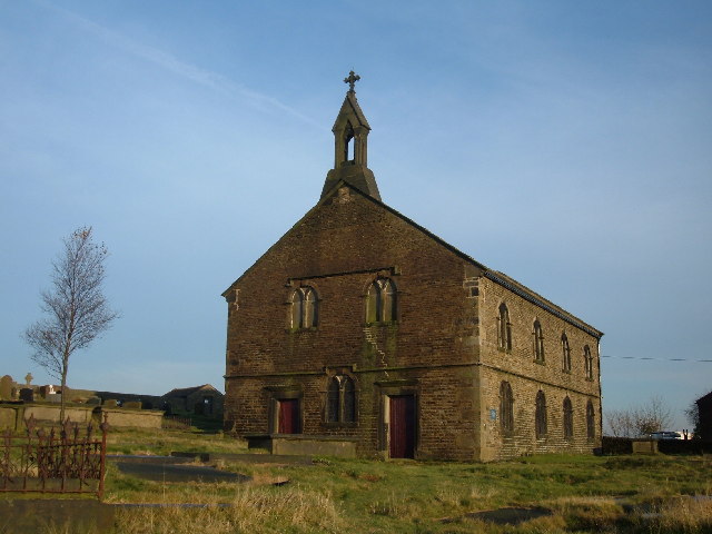
St Thomas' Church, Friarmere
St Thomas' Church, Friarmere, also known as Heights Chapel, is a redundant Anglican church standing on a hillside overlooking the village of Delph, Greater...

Heights, Greater Manchester
Heights is a hamlet in the Saddleworth parish of the Metropolitan Borough of Oldham, in Greater Manchester, England. It is directly north of Delph, and...

Delph
Delph (Old English (ge)delf a quarry) is a village in the civil parish of Saddleworth in the Metropolitan Borough of Oldham, in Greater Manchester, England...

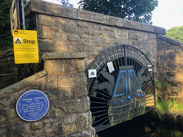
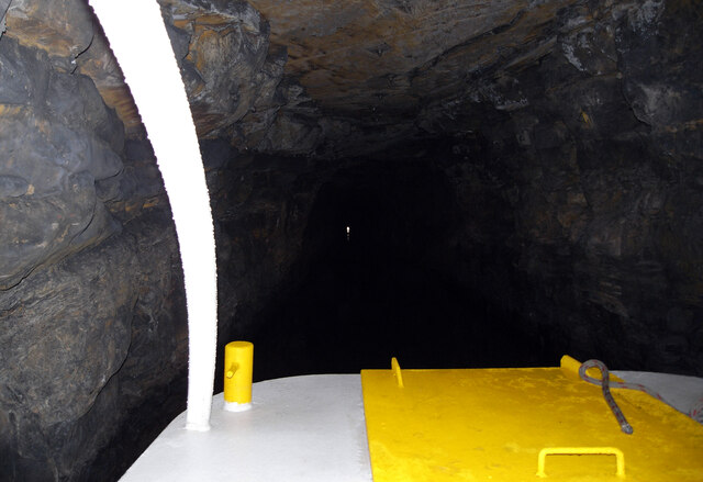
Standedge
Standedge () is a moorland escarpment in the Pennine Hills of northern England between Marsden, West Yorkshire and Diggle, Greater Manchester. Standedge...
Nearby Amenities
Located within 500m of 53.581633,-2.0026504Have you been to Waters Clough?
Leave your review of Waters Clough below (or comments, questions and feedback).