Stubb Clough
Valley in Yorkshire
England
Stubb Clough

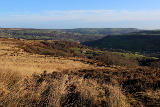
Stubb Clough is a picturesque valley located in the county of Yorkshire, England. Nestled within the rugged and verdant landscape, this hidden gem offers visitors a tranquil retreat away from the hustle and bustle of urban life. The valley is situated in the eastern part of Yorkshire, near the village of Stubb Cross, and is renowned for its natural beauty and diverse wildlife.
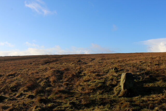
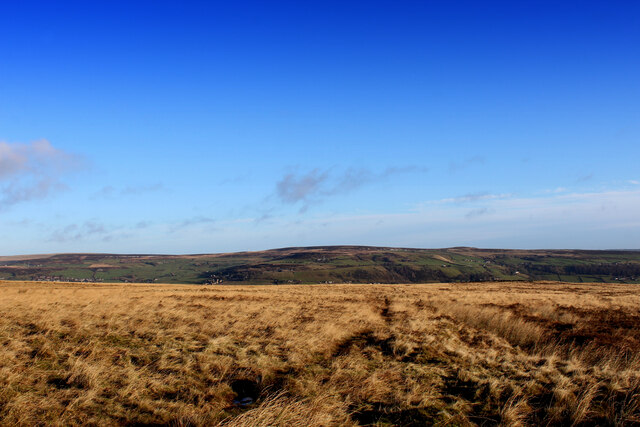
Stubb Clough boasts a stunning array of landscapes, with steep cliffs, lush forests, and meandering streams that create a sense of tranquility and enchantment. The valley is particularly famous for its rich flora and fauna, with an abundance of wildflowers, ancient trees, and various bird species that call this area home.
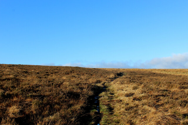
Visitors to Stubb Clough can enjoy a range of outdoor activities, such as hiking, cycling, and wildlife spotting. The valley is crisscrossed by a network of well-maintained trails that lead adventurers through its most scenic spots. These trails provide stunning views of the surrounding countryside, making it a favorite destination for nature enthusiasts and photographers alike.
In addition to its natural wonders, Stubb Clough is also home to several historic landmarks. The ruins of Stubb Cross Abbey, a medieval monastery, can be found at the heart of the valley, offering visitors a glimpse into the area's rich history and heritage.
Overall, Stubb Clough is a captivating destination that appeals to those seeking tranquility, natural beauty, and a sense of adventure. Whether exploring its winding trails, capturing its scenic vistas, or simply immersing oneself in its peaceful ambiance, this Yorkshire valley offers a truly unforgettable experience for all who visit.
If you have any feedback on the listing, please let us know in the comments section below.
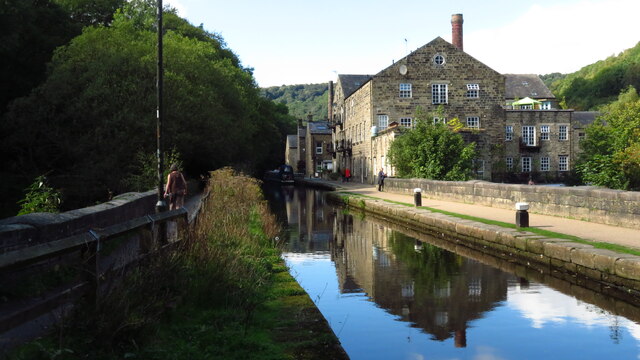
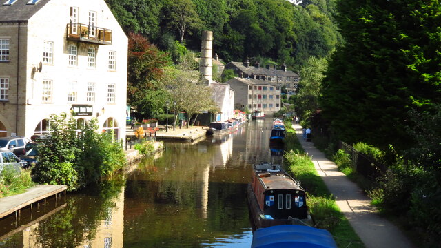
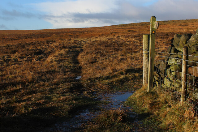
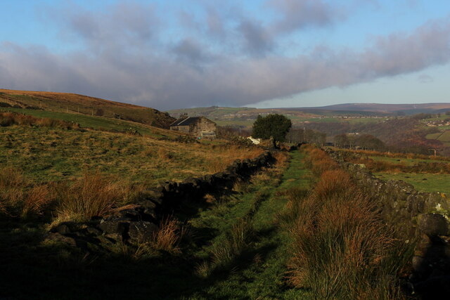
Stubb Clough Images
Images are sourced within 2km of 53.73205/-2.002585 or Grid Reference SD9926. Thanks to Geograph Open Source API. All images are credited.


Stubb Clough is located at Grid Ref: SD9926 (Lat: 53.73205, Lng: -2.002585)
Division: West Riding
Unitary Authority: Calderdale
Police Authority: West Yorkshire
What 3 Words
///monday.fingertip.qualifier. Near Hebden Bridge, West Yorkshire
Nearby Locations
Related Wikis

Erringden
Erringden is a civil parish in the Metropolitan Borough of Calderdale in West Yorkshire, England. Previously it was a township within the chapelry of Heptonstall...
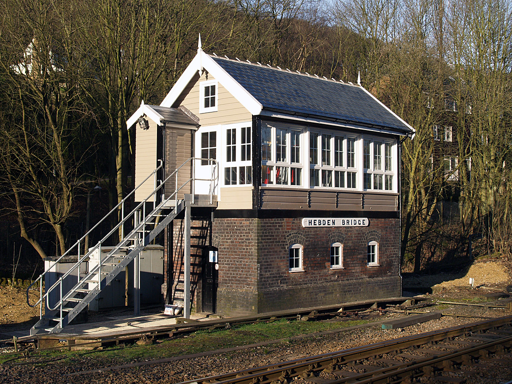
Hebden Bridge signal box
Hebden Bridge signal box is a Grade II listed former Lancashire and Yorkshire Railway signal box, located close to Hebden Bridge railway station in West...

Hebden Bridge railway station
Hebden Bridge railway station serves the town of Hebden Bridge in West Yorkshire, England. The station is on the Calder Valley Line, operated by Northern...

Hebden Bridge Picture House
Hebden Bridge Picture House in Hebden Bridge, West Yorkshire, is one of the last remaining council-owned cinemas in Britain. Together with the adjacent...

Hebden Royd
Hebden Royd is a civil parish in the Metropolitan Borough of Calderdale in West Yorkshire, England. According to the 2001 census it had a population of...

Hebden Bridge
Hebden Bridge is a market town in the Calderdale district of West Yorkshire, England. It is in the Upper Calder Valley, 8 miles (13 km) west of Halifax...

Battle of Heptonstall
The Battle of Heptonstall occurred in November 1643 during the First English Civil War at Hebden Bridge and Heptonstall, Yorkshire. During the battle,...

Birchcliffe Baptist Church
Birchcliffe Baptist Church is a redundant Baptist chapel in the town of Hebden Bridge, West Yorkshire, England. It was founded by Daniel Taylor in 1764...
Nearby Amenities
Located within 500m of 53.73205,-2.002585Have you been to Stubb Clough?
Leave your review of Stubb Clough below (or comments, questions and feedback).