Flisteridge Hill
Hill, Mountain in Wiltshire
England
Flisteridge Hill
Flisteridge Hill is a prominent hill located in the county of Wiltshire, England. It is situated in the southern part of the county, near the village of West Lavington. Standing at an elevation of approximately 293 meters (961 feet), it is considered one of the highest points in the region.
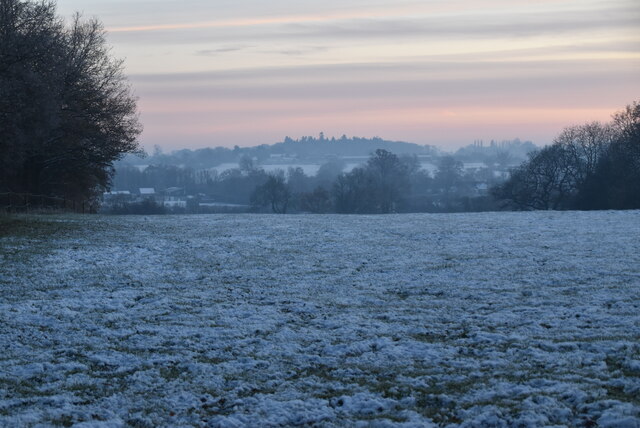
The hill is part of the Salisbury Plain, a vast chalk plateau that covers a considerable portion of southern Wiltshire. Flisteridge Hill is known for its stunning panoramic views of the surrounding countryside, offering visitors a picturesque vista of the rolling hills, farmland, and expansive open spaces that characterize this part of England.
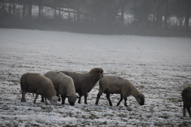
The hill itself is primarily composed of chalk, a distinctive feature of the Salisbury Plain. Its slopes are covered with a patchwork of grasses and wildflowers, adding to the natural beauty of the area. Flisteridge Hill is also home to a variety of wildlife, including rabbits, hares, and various bird species, making it a popular destination for nature enthusiasts and birdwatchers.
Access to Flisteridge Hill is provided by footpaths and bridleways, allowing visitors to explore the hill and enjoy its scenic surroundings. The area is also popular among hikers and ramblers due to the numerous trails that crisscross the landscape, providing opportunities for outdoor recreation and exploration.
Overall, Flisteridge Hill is a picturesque and tranquil location, offering visitors the chance to immerse themselves in the natural beauty and serenity of the Wiltshire countryside.
If you have any feedback on the listing, please let us know in the comments section below.
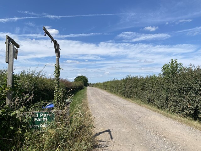
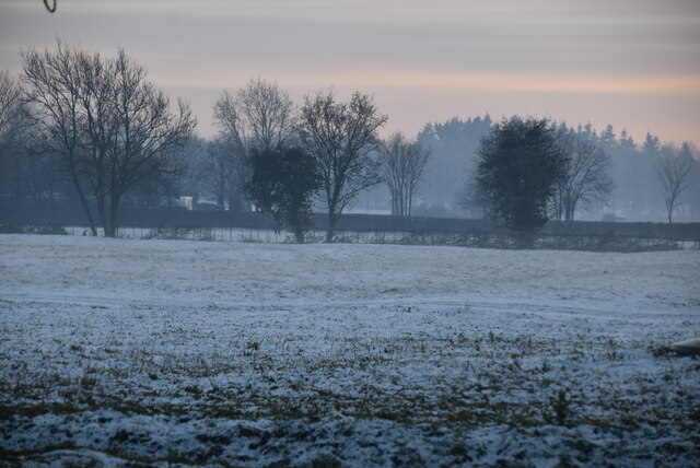
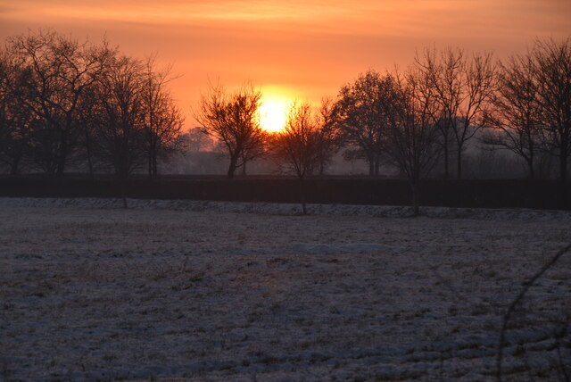
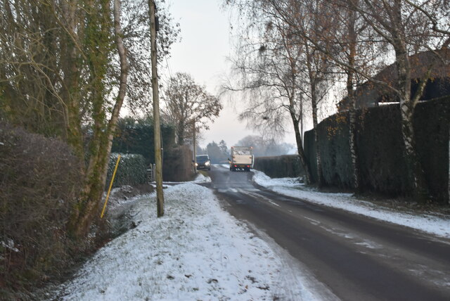
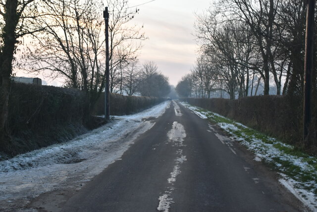
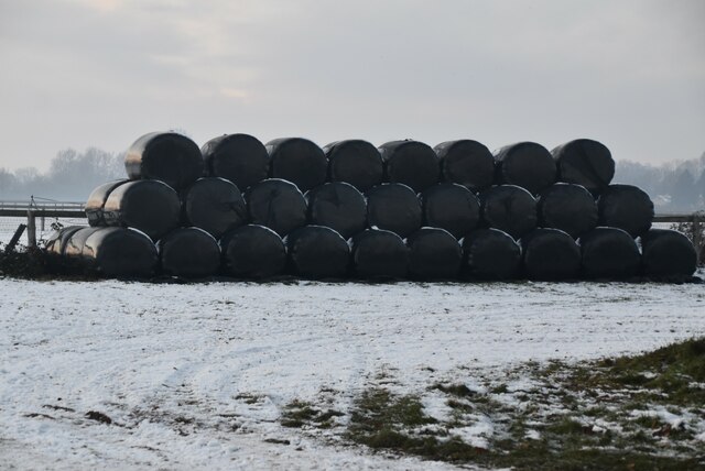
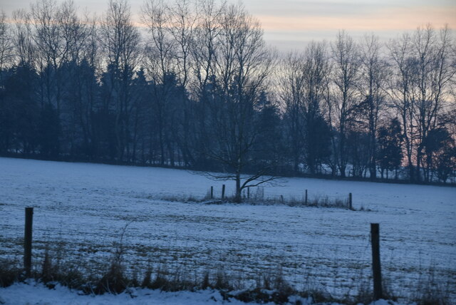
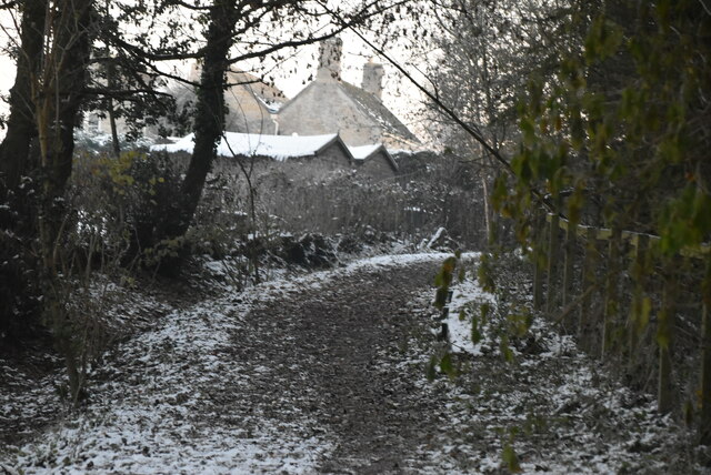
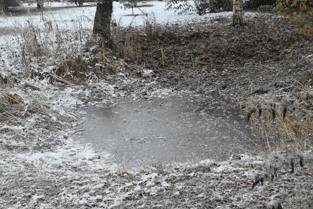
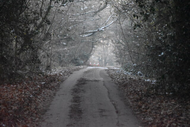
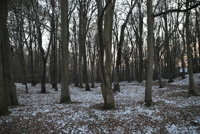
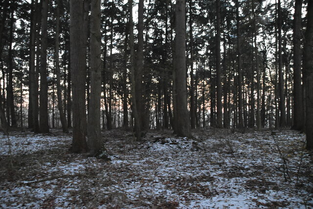
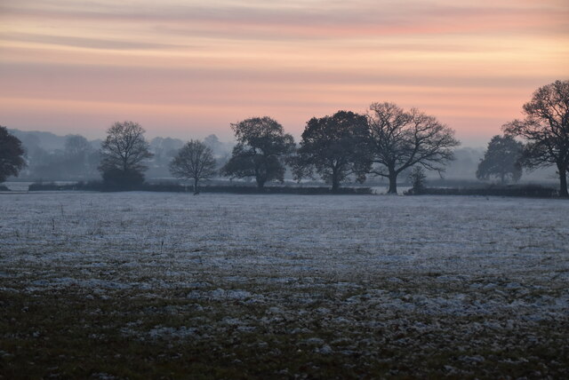
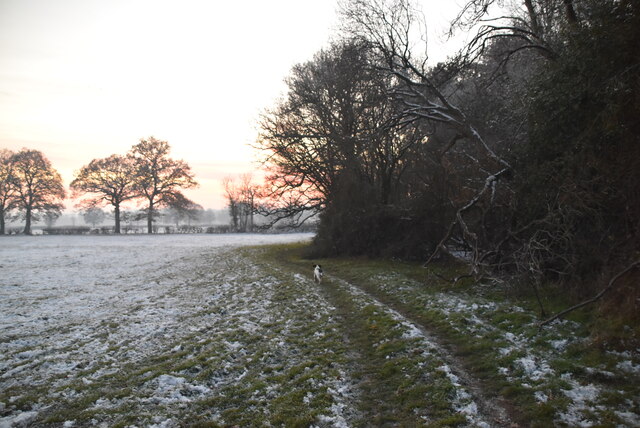
Flisteridge Hill Images
Images are sourced within 2km of 51.618624/-2.0157823 or Grid Reference ST9991. Thanks to Geograph Open Source API. All images are credited.


Flisteridge Hill is located at Grid Ref: ST9991 (Lat: 51.618624, Lng: -2.0157823)
Unitary Authority: Wiltshire
Police Authority: Wiltshire
What 3 Words
///confirms.teaspoons.emeralds. Near Hankerton, Wiltshire
Nearby Locations
Related Wikis

Cloatley Manor Farm Meadows
Cloatley Manor Farm Meadows (grid reference ST981910) is a 12.1 hectare biological Site of Special Scientific Interest in Wiltshire, notified in 1997....
Hankerton
Hankerton is a village and civil parish in Wiltshire, England, 3 miles (4.8 km) northeast of Malmesbury. The parish includes the hamlets of Cloatley, Cloatley...
Emmett Hill Meadows
Emmett Hill Meadows (grid reference SU009901) is a 5.1 hectare biological Site of Special Scientific Interest in Wiltshire, notified in 1987. The site...
Brandier
Brandier is a hamlet in north Wiltshire, England, near Minety. Until the Counties Act of 1844, it was in Gloucestershire. Brandier was the site of extensive...
Nearby Amenities
Located within 500m of 51.618624,-2.0157823Have you been to Flisteridge Hill?
Leave your review of Flisteridge Hill below (or comments, questions and feedback).