Ash Bed
Wood, Forest in Wiltshire
England
Ash Bed
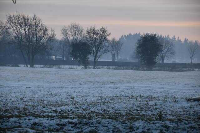
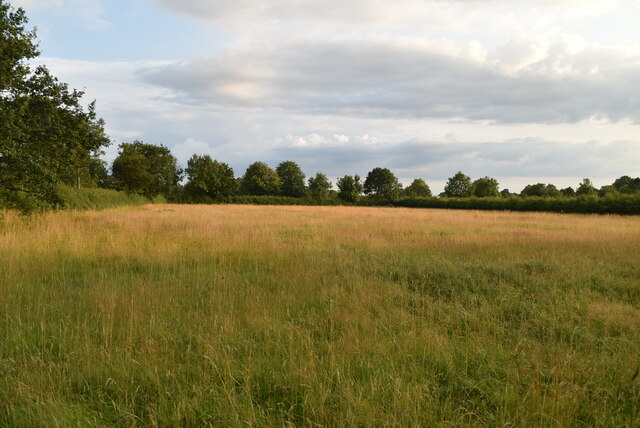
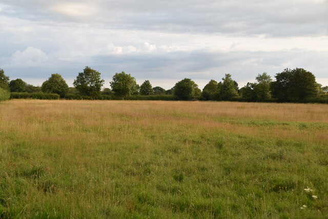
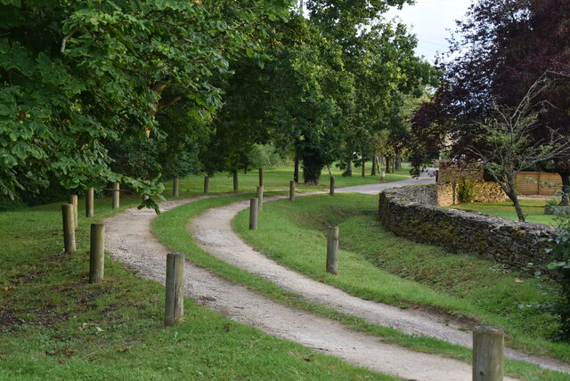
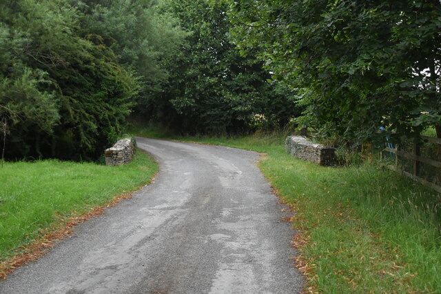
Ash Bed is a woodland area located in the county of Wiltshire, England. It is situated within the wider region of the Salisbury Plain, known for its extensive grasslands and ancient forests. Ash Bed is notable for its dense population of ash trees, from which it derives its name.
Covering an area of approximately 50 hectares, Ash Bed is a diverse and thriving ecosystem, supporting a variety of flora and fauna. The woodland is characterized by its mature ash trees, which dominate the canopy and provide a rich habitat for a range of wildlife species. The forest floor is covered in a lush carpet of ferns, mosses, and wildflowers, creating a vibrant and picturesque setting.
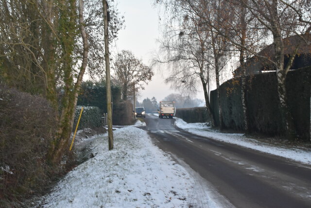
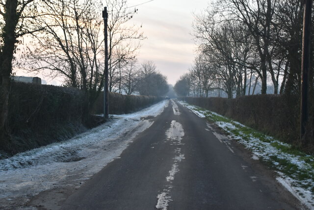
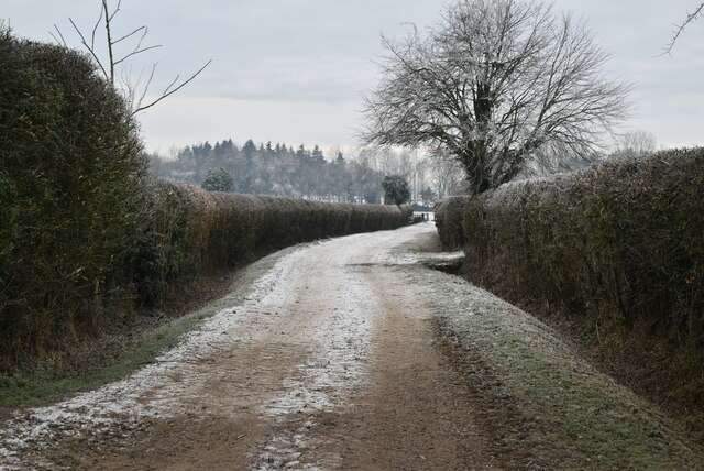
Ash Bed is a popular destination for nature enthusiasts and hikers, who come to explore its network of walking trails. The woodland offers a tranquil and peaceful environment, making it an ideal location for recreational activities such as birdwatching, photography, and nature study. The diverse range of bird species that can be spotted here includes woodpeckers, nuthatches, and various songbirds.
The management of Ash Bed is overseen by the local authorities, who ensure the preservation and conservation of the woodland. Regular maintenance activities, such as tree thinning and selective pruning, are carried out to maintain the health and vitality of the forest. Additionally, efforts are made to control invasive plant species and protect the natural biodiversity of the area.
Overall, Ash Bed in Wiltshire is a beautiful and ecologically significant woodland, offering visitors the opportunity to immerse themselves in the tranquility of nature and witness the wonders of the local ecosystem.
If you have any feedback on the listing, please let us know in the comments section below.
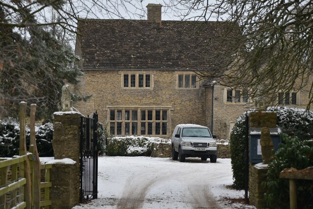
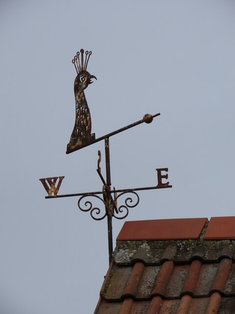
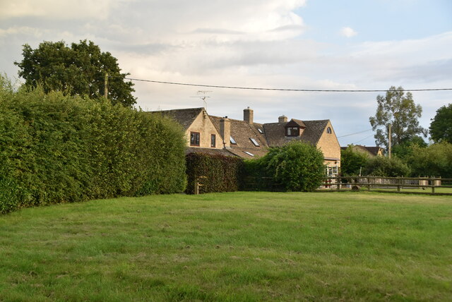
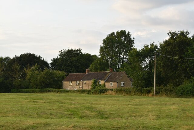
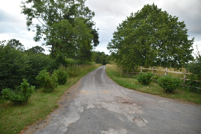
Ash Bed Images
Images are sourced within 2km of 51.62472/-2.0140654 or Grid Reference ST9991. Thanks to Geograph Open Source API. All images are credited.


Ash Bed is located at Grid Ref: ST9991 (Lat: 51.62472, Lng: -2.0140654)
Unitary Authority: Wiltshire
Police Authority: Wiltshire
What 3 Words
///unicorns.blatantly.nobody. Near Hankerton, Wiltshire
Nearby Locations
Related Wikis

Oaksey
Oaksey is a village and civil parish in Wiltshire, England, on the county boundary with Gloucestershire. The village is about 5.5 miles (8.9 km) northeast...

Cloatley Manor Farm Meadows
Cloatley Manor Farm Meadows (grid reference ST981910) is a 12.1 hectare biological Site of Special Scientific Interest in Wiltshire, notified in 1997....

Oaksey Halt railway station
Oaksey Halt is a closed station on the Golden Valley Line south of Kemble railway station and Kemble Tunnel on the line to Swindon. There were short (150...
Brandier
Brandier is a hamlet in north Wiltshire, England, near Minety. Until the Counties Act of 1844, it was in Gloucestershire. Brandier was the site of extensive...

Hankerton
Hankerton is a village and civil parish in Wiltshire, England, 3 miles (4.8 km) northeast of Malmesbury. The parish includes the hamlets of Cloatley, Cloatley...
Emmett Hill Meadows
Emmett Hill Meadows (grid reference SU009901) is a 5.1 hectare biological Site of Special Scientific Interest in Wiltshire, notified in 1987. The site...

Clattinger Farm
Clattinger Farm (grid reference SU012933) is a 60.3 hectare biological Site of Special Scientific Interest in Wiltshire, notified in 1971. The site is...
Acres Farm Meadow
Acres Farm Meadow (grid reference SU024927) is a 4.2 hectare biological Site of Special Scientific Interest (SSSI) in Wiltshire, notified in 1989. It lies...
Nearby Amenities
Located within 500m of 51.62472,-2.0140654Have you been to Ash Bed?
Leave your review of Ash Bed below (or comments, questions and feedback).