Hills Wood
Wood, Forest in Staffordshire Staffordshire Moorlands
England
Hills Wood
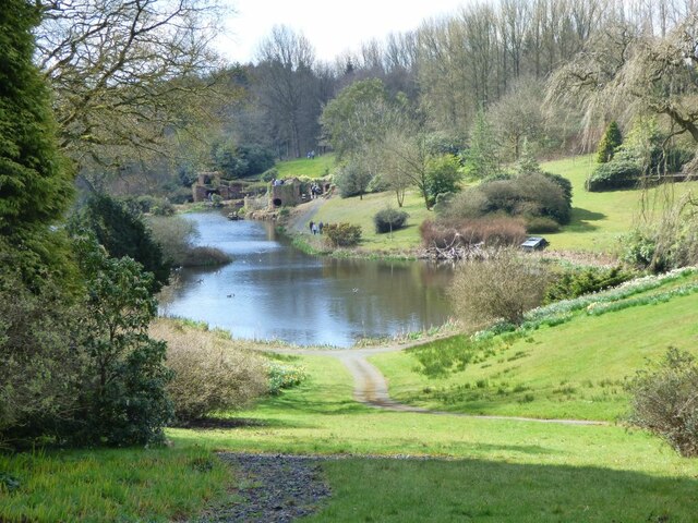
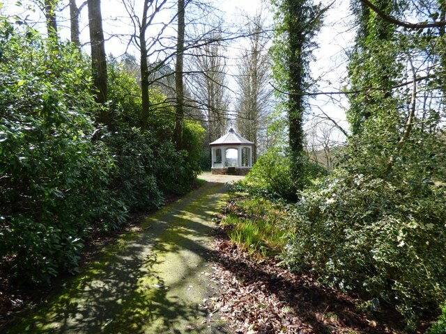
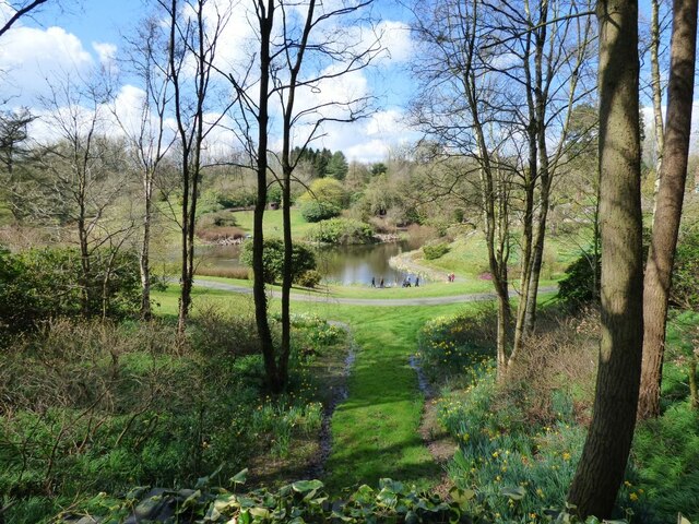
Hills Wood is a picturesque forest located in the county of Staffordshire, England. Spanning over a vast area, the wood is renowned for its natural beauty and diverse range of flora and fauna. It is a popular destination among nature enthusiasts, hikers, and photographers.
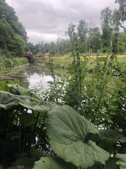
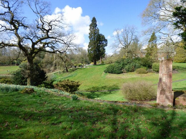
Covered in dense foliage, Hills Wood is primarily composed of deciduous trees, including oak, beech, and birch. This creates a stunning display of colors during the autumn season when the leaves change to vibrant hues of orange, red, and yellow. The woodland floor is carpeted with a variety of wildflowers, such as bluebells, primroses, and daffodils, further enhancing its enchanting atmosphere.
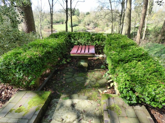
The forest is crisscrossed by a network of walking trails, allowing visitors to explore the wood at their own pace. These paths wind through the woodland, revealing hidden clearings, babbling brooks, and charming little ponds. The peaceful ambience and tranquil surroundings make Hills Wood a haven for wildlife, with sightings of deer, foxes, and a wide array of bird species being common.
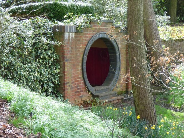
In addition to its natural beauty, Hills Wood also has historical significance. The remains of ancient settlements and burial mounds can be found within its boundaries, providing insight into the area's rich past. The wood is also home to a variety of rare and protected species, making it a site of ecological importance.
Overall, Hills Wood in Staffordshire is a captivating destination where visitors can immerse themselves in the beauty of nature, explore its trails, and discover the secrets it holds.
If you have any feedback on the listing, please let us know in the comments section below.
Hills Wood Images
Images are sourced within 2km of 53.051776/-2.0145641 or Grid Reference SJ9950. Thanks to Geograph Open Source API. All images are credited.

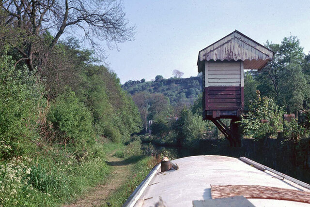
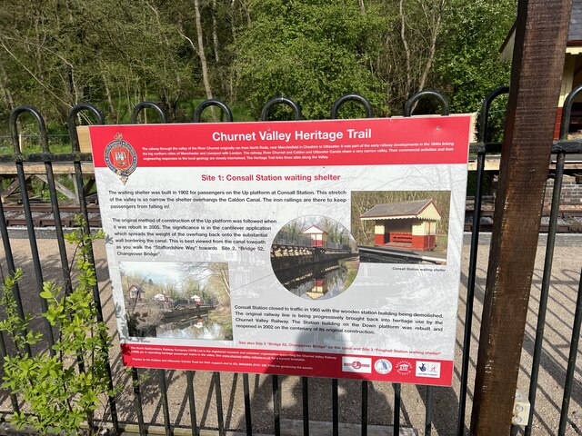
![Consall Station from the Caldon Canal towpath A preserved railway line near Leek in Staffordshire, running from Froghall up the valley to Cheddleton with one intermediate stop at Consall, and (since 2011) on an extension to a former quarry at Cauldon Low, where as of 2012 there is no station. The society has plans to connect to the national network at Stoke-on-Trent.
The lines were originally constructed by the North Staffordshire Railway (the "Knotty"). According to one writer, "the buildings on the Churnet Valley line are of local stone, straightforwardly neo-Tudor, and effective" [Lloyd & Insall, "Railway Station Architecture", David & Charles 1978, p.17].](https://s1.geograph.org.uk/geophotos/07/51/43/7514373_0f9ef3fb.jpg)
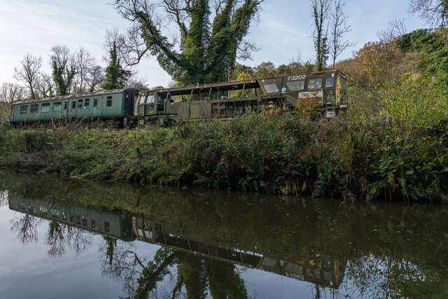
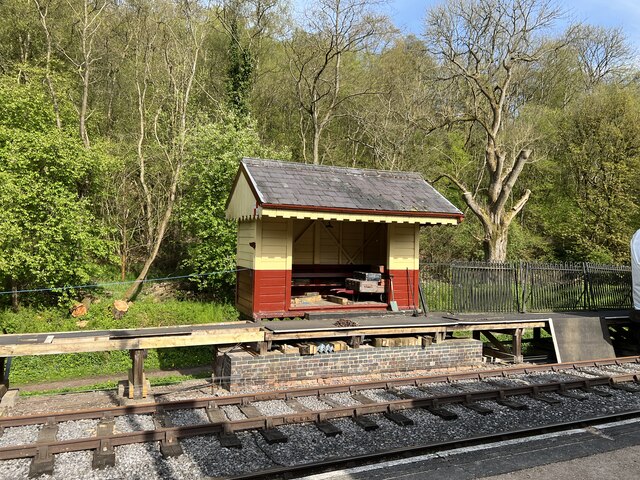
![Consall Station A preserved railway line near Leek in Staffordshire, running from Froghall up the valley to Cheddleton with one intermediate stop at Consall, and (since 2011) on an extension to a former quarry at Cauldon Low, where as of 2012 there is no station. The society has plans to connect to the national network at Stoke-on-Trent.
The lines were originally constructed by the North Staffordshire Railway (the "Knotty"). According to one writer, "the buildings on the Churnet Valley line are of local stone, straightforwardly neo-Tudor, and effective" [Lloyd & Insall, "Railway Station Architecture", David & Charles 1978, p.17].](https://s0.geograph.org.uk/geophotos/07/66/70/7667004_978b380e.jpg)
Hills Wood is located at Grid Ref: SJ9950 (Lat: 53.051776, Lng: -2.0145641)
Administrative County: Staffordshire
District: Staffordshire Moorlands
Police Authority: Staffordshire
What 3 Words
///scrubber.missions.lifeguard. Near Cheddleton, Staffordshire
Nearby Locations
Related Wikis

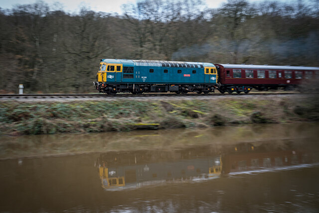
Churnet Valley Railway
The Churnet Valley Railway is a preserved standard gauge heritage railway in the Staffordshire Moorlands of Staffordshire, England. It operates on part...

Consall railway station
Consall railway station is a former passenger railway station of the North Staffordshire Railway (NSR) and is now a preserved station on the Churnet Valley...
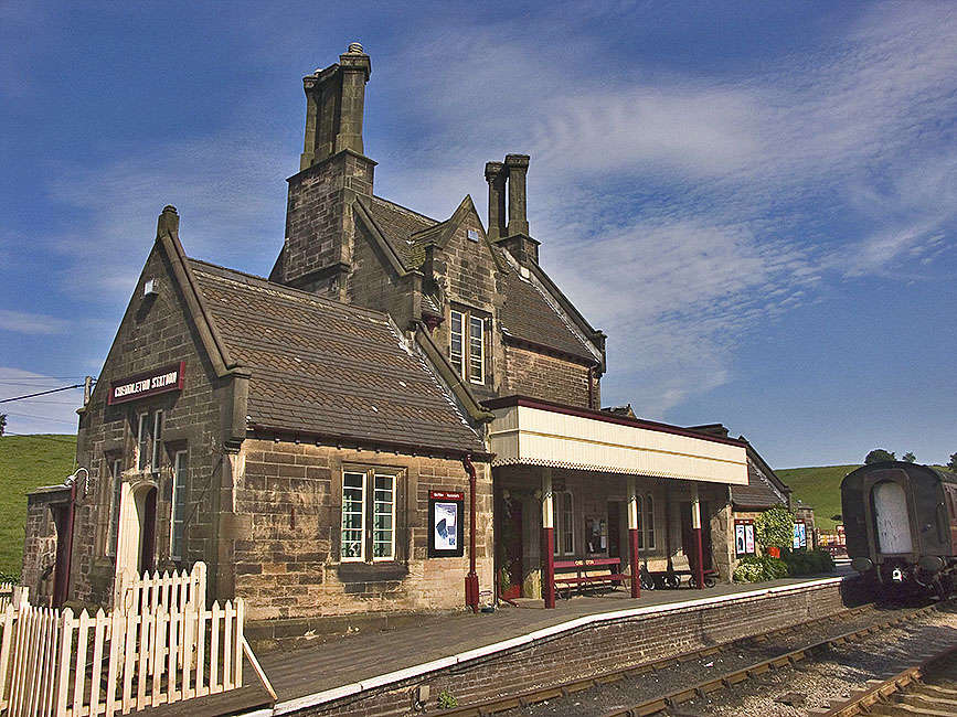
Cheddleton railway station
Cheddleton railway station is a former passenger railway station of the North Staffordshire Railway (NSR) and is now a preserved station on the Churnet...

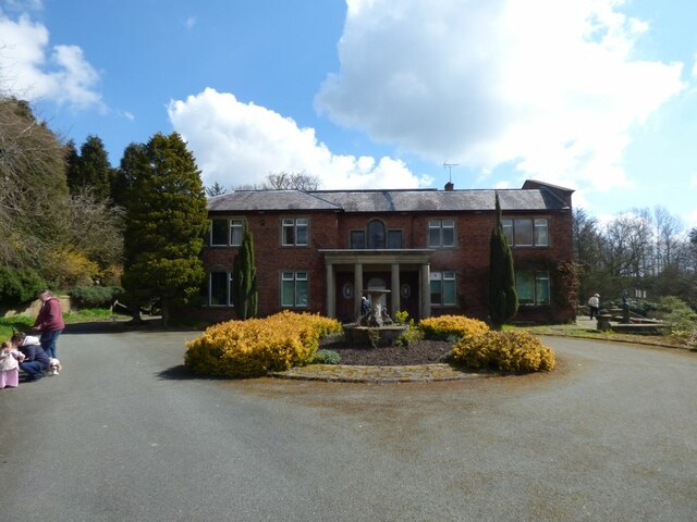
Ashcombe Park, Staffordshire
Ashcombe Park is a country house and estate near Cheddleton, in Staffordshire, England. The house is a Grade II* listed building, listed on 2 May 1953...

Consall
Consall is a small village situated in the Staffordshire Moorlands, Staffordshire, England. It is approximately 6 miles south of the market town of Leek...

Cheddleton
Cheddleton is an ancient parish and village in the Staffordshire Moorlands, near to the town of Leek, England. == History == The village is divided into...

Coombes Valley RSPB reserve
Coombes Valley RSPB reserve (grid reference SK005525) is a nature reserve, run by the RSPB, near the town of Leek in Staffordshire, England. It is best...

Above Church
Above Church is a hamlet about 0.6 kilometers (0.4 mi) northwest of Ipstones in the English county of Staffordshire. It is located at grid reference SK016504...
Nearby Amenities
Located within 500m of 53.051776,-2.0145641Have you been to Hills Wood?
Leave your review of Hills Wood below (or comments, questions and feedback).