Joseph Ashe Copse
Wood, Forest in Staffordshire
England
Joseph Ashe Copse

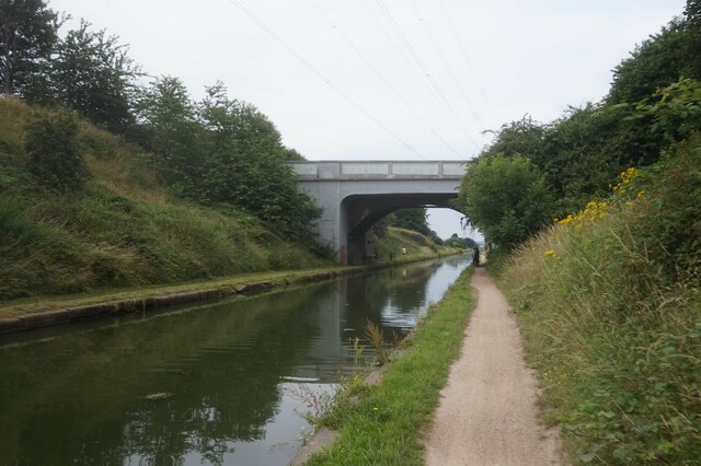
Joseph Ashe Copse is a woodland area located in Staffordshire, England. Covering an area of approximately 100 acres, it is a designated Site of Special Scientific Interest (SSSI) due to its high ecological value and diverse range of flora and fauna.
The copse is characterized by its dense woodland, consisting primarily of native broadleaf trees such as oak, beech, and birch. These trees create a rich canopy, providing shade and shelter for a variety of plants and animals. The forest floor is covered with a thick layer of leaf litter, creating a habitat for insects, fungi, and small mammals.
The copse is intersected by several walking trails, allowing visitors to explore its natural beauty. These trails wind through the woodland, providing opportunities for nature observation and birdwatching. The area is particularly known for its resident bird species, including woodpeckers, song thrushes, and owls.
In addition to its ecological importance, Joseph Ashe Copse also holds historical significance. The woodland was once part of a larger forest that covered much of the Staffordshire area. Today, it stands as a remnant of this ancient forest and offers a glimpse into its past.
Managed by the local conservation authority, Joseph Ashe Copse is a popular destination for nature lovers and outdoor enthusiasts. Its tranquil atmosphere, diverse wildlife, and scenic beauty make it a haven for those seeking respite from the hustle and bustle of everyday life.
If you have any feedback on the listing, please let us know in the comments section below.
Joseph Ashe Copse Images
Images are sourced within 2km of 52.546792/-2.0142311 or Grid Reference SO9994. Thanks to Geograph Open Source API. All images are credited.


Joseph Ashe Copse is located at Grid Ref: SO9994 (Lat: 52.546792, Lng: -2.0142311)
Unitary Authority: Sandwell
Police Authority: West Midlands
What 3 Words
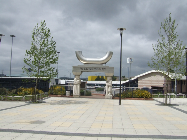
///enjoyable.trace.learns. Near Wednesbury, West Midlands
Nearby Locations
Related Wikis
Wednesbury Town railway station
Wednesbury Town railway station was a station on the South Staffordshire Line. == History == The station was opened in 1850. The station was built and...

Wednesbury Town Hall
Wednesbury Town Hall is a municipal building in Holyhead Road in Wednesbury, West Midlands, England. The structure, which was the meeting place of Wednesbury...

Wednesbury Museum and Art Gallery
Wednesbury Museum and Art Gallery is a purpose-built Victorian art gallery in Wednesbury in the West Midlands of England. It is notable for its Ruskin...
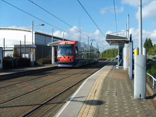
Wednesbury Great Western Street tram stop
Wednesbury Great Western Street tram stop is a tram stop in Wednesbury, Sandwell, England. It was opened on 31 May 1999 and is situated on West Midlands...
Wednesbury bus station
Wednesbury bus station is a bus interchange in the town of Wednesbury, in the West Midlands region of England.It is managed by Transport for West Midlands...
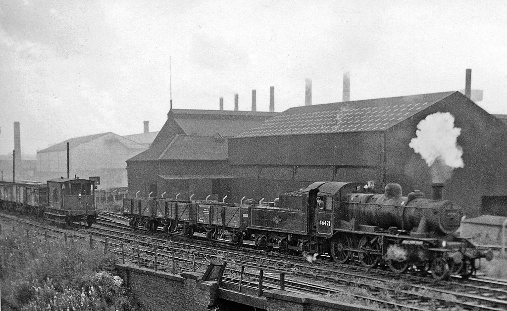
Wednesbury Central railway station
Wednesbury Central railway station was a station on the Great Western Railway's London Paddington to Birkenhead via Birmingham Snow Hill line. It was opened...

Black Lake Tunnel
Black Lake Tunnel is a 412-yard railway tunnel on the West Bromwich and Wednesbury border, in England. == Past == The tunnel was built by the Great Western...
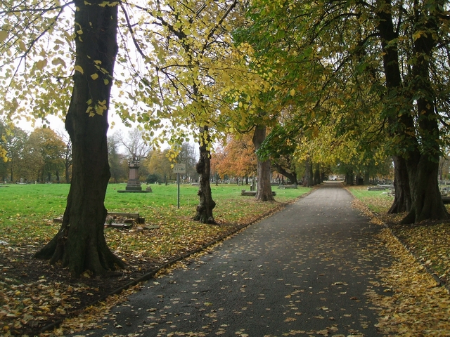
Brunswick Park, Wednesbury
Brunswick Park is a public park in Wednesbury, in West Midlands, England, about 1 kilometre (0.6 mi) east of the town centre. It is owned and operated...
Nearby Amenities
Located within 500m of 52.546792,-2.0142311Have you been to Joseph Ashe Copse?
Leave your review of Joseph Ashe Copse below (or comments, questions and feedback).