Balls Hill
Settlement in Staffordshire
England
Balls Hill

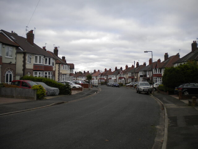
Balls Hill is a small village located in the county of Staffordshire, England. Situated approximately 6 miles northeast of the town of Lichfield, it is nestled within a picturesque rural landscape. The village is known for its tranquil and peaceful setting, making it an ideal place for those seeking a quiet and idyllic lifestyle.
Balls Hill is characterized by its charming cottages and traditional architecture, giving it a timeless and quaint atmosphere. The village is surrounded by rolling green fields, providing stunning panoramic views of the countryside. This rural setting offers residents and visitors the opportunity to enjoy leisurely walks, bike rides, and picnics in the scenic outdoors.
Despite its small size, Balls Hill boasts a strong sense of community. The village is home to a close-knit population, who actively organize various social events and gatherings throughout the year. These events often take place in the village hall, where locals come together to celebrate festivals, hold meetings, and enjoy recreational activities.
While there are limited amenities within the village itself, residents have convenient access to nearby towns for their daily needs. The village benefits from its proximity to Lichfield, a historic city with a wide range of shops, restaurants, and services.
Overall, Balls Hill offers a peaceful and rural lifestyle within a close community, making it an appealing destination for those seeking a quieter and more traditional way of life in the heart of Staffordshire.
If you have any feedback on the listing, please let us know in the comments section below.
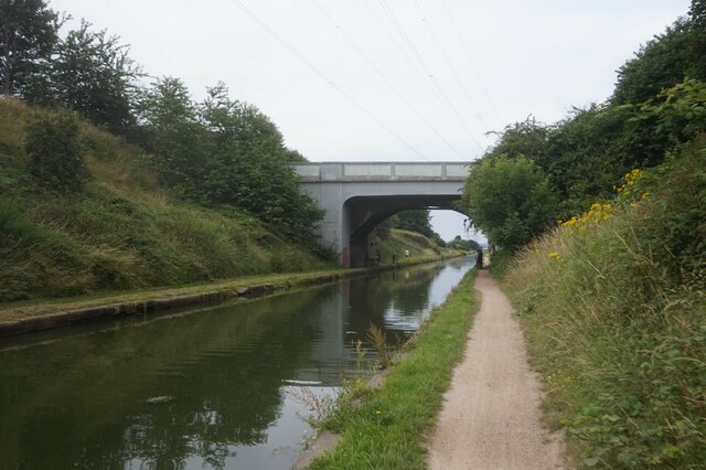
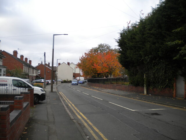
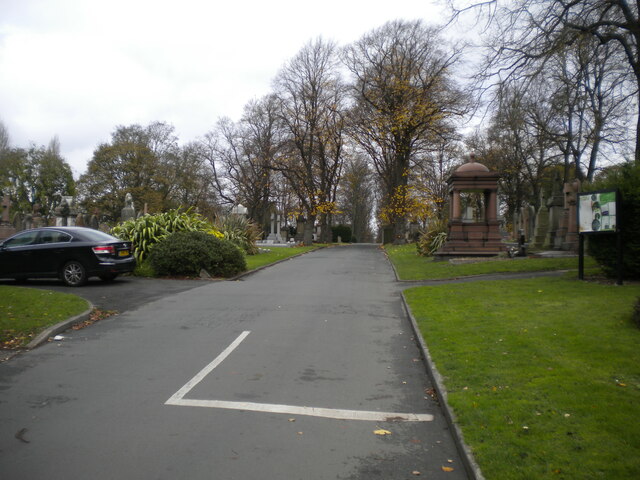
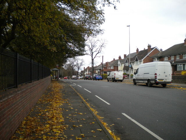
Balls Hill Images
Images are sourced within 2km of 52.545201/-2.011219 or Grid Reference SO9994. Thanks to Geograph Open Source API. All images are credited.


Balls Hill is located at Grid Ref: SO9994 (Lat: 52.545201, Lng: -2.011219)
Unitary Authority: Sandwell
Police Authority: West Midlands
What 3 Words
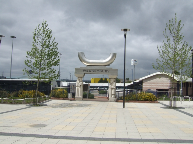
///visa.sports.leans. Near Wednesbury, West Midlands
Nearby Locations
Related Wikis
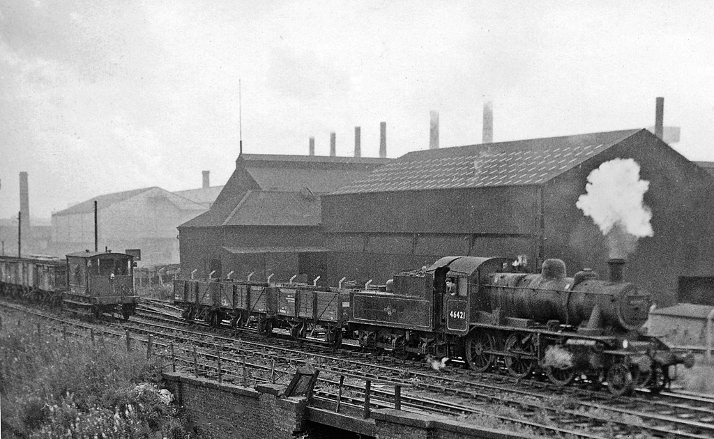
Wednesbury Town railway station
Wednesbury Town railway station was a station on the South Staffordshire Line. == History == The station was opened in 1850. The station was built and...

Wednesbury Town Hall
Wednesbury Town Hall is a municipal building in Holyhead Road in Wednesbury, West Midlands, England. The structure, which was the meeting place of Wednesbury...

Black Lake Tunnel
Black Lake Tunnel is a 412-yard railway tunnel on the West Bromwich and Wednesbury border, in England. == Past == The tunnel was built by the Great Western...

Wednesbury Museum and Art Gallery
Wednesbury Museum and Art Gallery is a purpose-built Victorian art gallery in Wednesbury in the West Midlands of England. It is notable for its Ruskin...
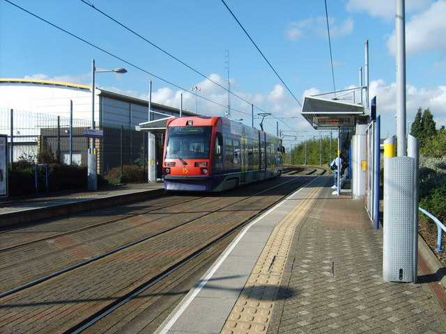
Wednesbury Great Western Street tram stop
Wednesbury Great Western Street tram stop is a tram stop in Wednesbury, Sandwell, England. It was opened on 31 May 1999 and is situated on West Midlands...
Wednesbury Central railway station
Wednesbury Central railway station was a station on the Great Western Railway's London Paddington to Birkenhead via Birmingham Snow Hill line. It was opened...
Wednesbury bus station
Wednesbury bus station is a bus interchange in the town of Wednesbury, in the West Midlands region of England.It is managed by Transport for West Midlands...

Bromwich Hall - The Manor House Museum
Bromwich Hall - The Manor House Museum is an important, Grade I listed, medieval domestic building (a hall house) built by Richard de Marnham around 1270...
Nearby Amenities
Located within 500m of 52.545201,-2.011219Have you been to Balls Hill?
Leave your review of Balls Hill below (or comments, questions and feedback).