Ball's Green

Settlement in Gloucestershire Stroud

England

Ball's Green

Forner coal merchant's building at Egypt Mill Now converted to provide accommodation for the Egypt Mill Hotel
Forner coal merchant's building at Egypt Mill Credit: Graham Hogg

Ball's Green is a small village situated in the county of Gloucestershire, in the South West of England. It is located approximately 5 miles east of the market town of Stroud, nestled within the picturesque Cotswold countryside. The village is surrounded by rolling hills and meadows, offering stunning views of the rural landscape.

With a population of around 200 residents, Ball's Green exudes a peaceful and tranquil atmosphere. The village is characterized by its charming cottages and traditional stone houses, many of which date back several centuries. The architecture of the buildings adds to the quaint and idyllic ambiance of the area.

Despite its small size, Ball's Green benefits from a strong sense of community. The village has a local pub, The Green Man, which serves as a popular meeting place for residents and visitors alike. The pub offers a selection of drinks and traditional pub food, further enhancing the sense of community spirit.

The surrounding countryside provides ample opportunities for outdoor activities such as walking, cycling, and horse riding. The nearby Cotswold Way offers scenic trails for nature enthusiasts to explore the stunning landscapes. Additionally, the village is within easy reach of several notable attractions, including the picturesque Painswick Rococo Garden and the historical city of Gloucester.

In conclusion, Ball's Green is a charming and tranquil village in Gloucestershire, offering a perfect retreat for those seeking a peaceful rural lifestyle. Its stunning surroundings, community spirit, and convenient location make it an attractive place to reside or visit for a relaxing countryside getaway.

If you have any feedback on the listing, please let us know in the comments section below.
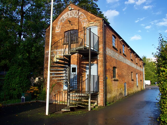
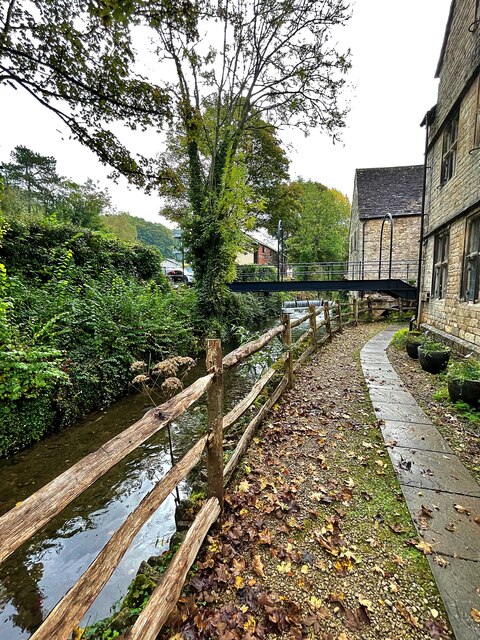
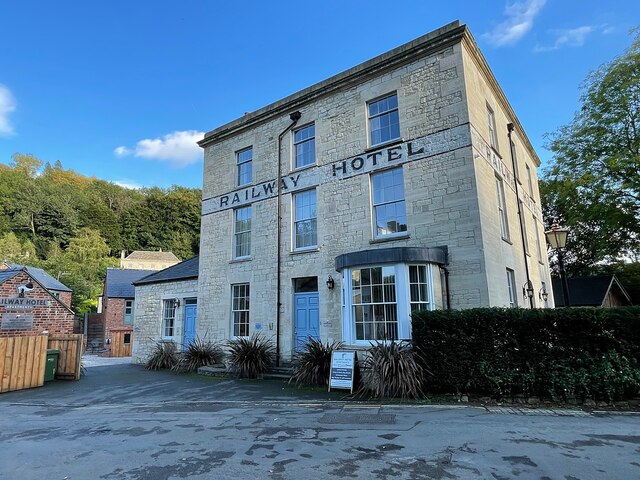
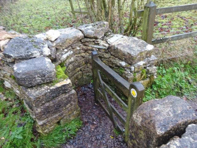
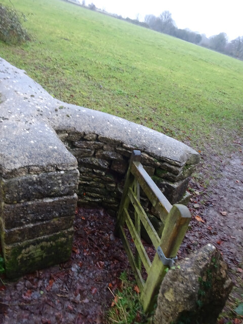
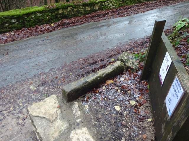
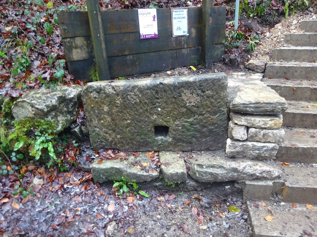
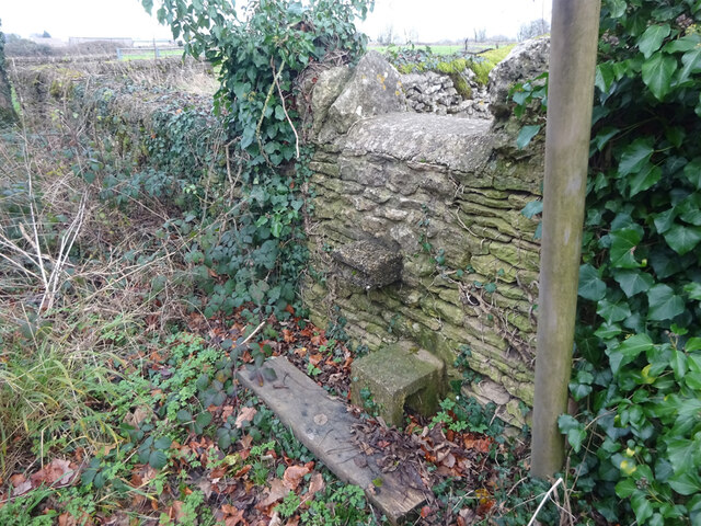
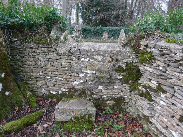
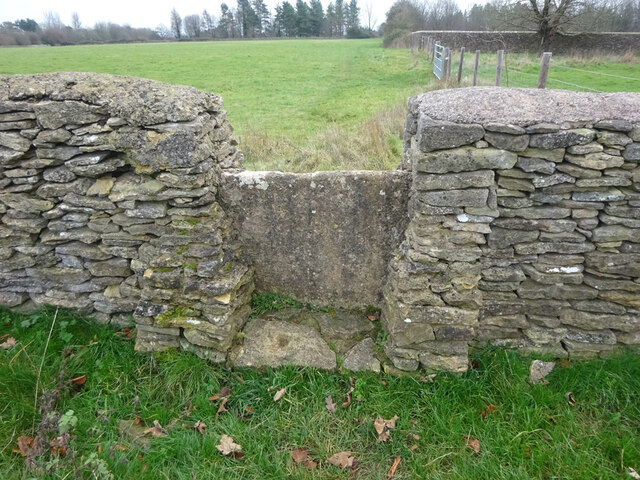
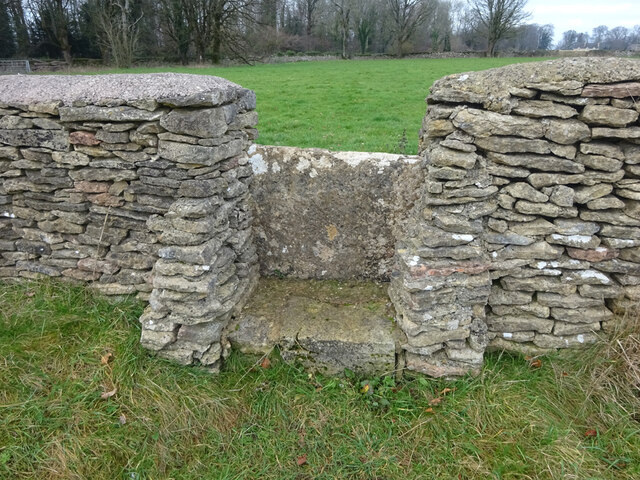
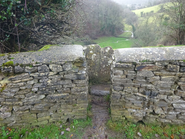
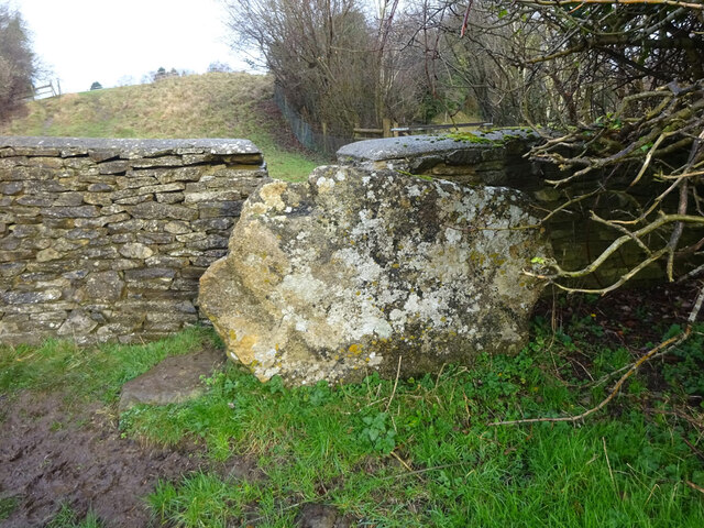
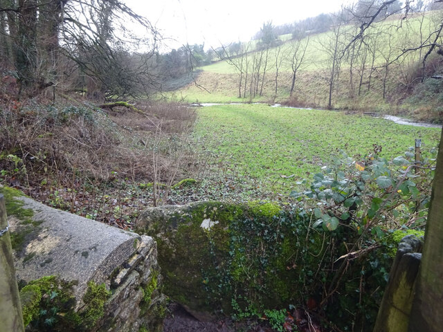
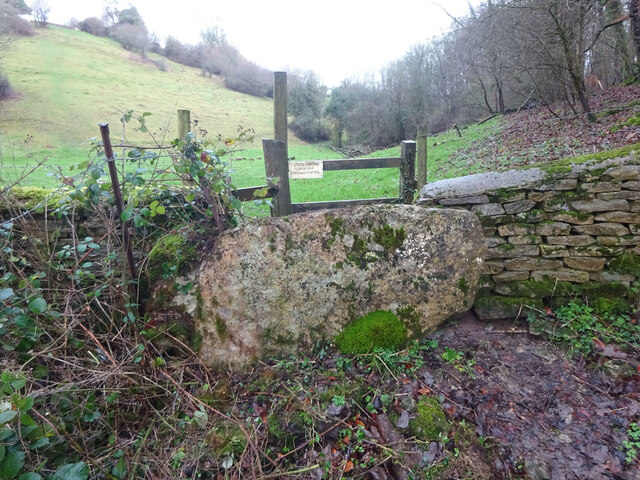
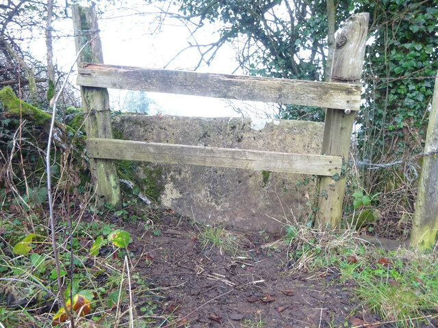
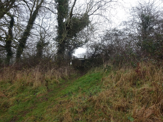
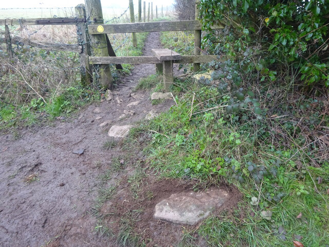
Ball's Green Images

Images are sourced within 2km of 51.694384/-2.1951373 or Grid Reference ST8699. Thanks to Geograph Open Source API. All images are credited.

Forner coal merchant's building at Egypt Mill Now converted to provide accommodation for the Egypt Mill Hotel
Forner coal merchant's building at Egypt Mill
Now converted to provide accommodation for the Egypt Mill Hotel
Nailsworth Stream at Egypt Mill Hotel The hotel is a conversion of a former textile mill, one of many in the Nailsworth valley.
Nailsworth Stream at Egypt Mill Hotel
The hotel is a conversion of a former textile mill, one of many in the Nailsworth valley.
The Railway Hotel, Nailsworth The railway here closed in 1966 though passenger services were terminated in 1949 and the grade II listed hotel now provides luxury holiday apartments.
The Railway Hotel, Nailsworth
The railway here closed in 1966 though passenger services were terminated in 1949 and the grade II listed hotel now provides luxury holiday apartments.
Stone Kissing Gate Leading from Box towards equine fields.
Stone Kissing Gate
Leading from Box towards equine fields.
Stone Kissing Gate Between fields on the equine establishment.
Stone Kissing Gate
Between fields on the equine establishment.
Stone Stile, Devil's Elbow As the footpath leaves Box Wood. The view from the road is <a href="https://www.geograph.org.uk/photo/7038355">ST8699 : Stone Stile, Devil's Elbow</a>.
Stone Stile, Devil's Elbow
As the footpath leaves Box Wood. The view from the road is ST8699 : Stone Stile, Devil's Elbow.
Stone Stile, Devil's Elbow As the footpath leaves Box Wood. The view from the footpath is <a href="https://www.geograph.org.uk/photo/7038353">ST8699 : Stone Stile, Devil's Elbow</a>.
Stone Stile, Devil's Elbow
As the footpath leaves Box Wood. The view from the footpath is ST8699 : Stone Stile, Devil's Elbow.
Stone Stile, Hampton Fields Looking from Hampton Hill, this footpath leads to Minchinhampton golf course and through to May Lane. A relatively modern iteration with breeze block for steps. The view from the field is <a href="https://www.geograph.org.uk/photo/7046108">ST8899 : Stone Stile, Hampton Fields</a>.
Stone Stile, Hampton Fields
Looking from Hampton Hill, this footpath leads to Minchinhampton golf course and through to May Lane. A relatively modern iteration with breeze block for steps. The view from the field is ST8899 : Stone Stile, Hampton Fields.
Stone Stile, Hampton Fields Looking to Hampton Hill, this footpath leads to Minchinhampton golf course and through to May Lane. A relatively modern iteration with breeze block for steps. The view from the road is <a href="https://www.geograph.org.uk/photo/7046105">ST8899 : Stone Stile, Hampton Fields</a>.
Stone Stile, Hampton Fields
Looking to Hampton Hill, this footpath leads to Minchinhampton golf course and through to May Lane. A relatively modern iteration with breeze block for steps. The view from the road is ST8899 : Stone Stile, Hampton Fields.
Stone Stile, Hampton Fields On a footpath from Hampton Hill to Minchinhampton Golf Course. Looking back from the direction of the Golf Course. The view looking SSE is <a href="https://www.geograph.org.uk/photo/7046127">ST8899 : Stone Stile, Hampton Fields</a>
Stone Stile, Hampton Fields
On a footpath from Hampton Hill to Minchinhampton Golf Course. Looking back from the direction of the Golf Course. The view looking SSE is ST8899 : Stone Stile, Hampton Fields
Stone Stile, Hampton Fields On a footpath from Hampton Hill to Minchinhampton Golf Course. Looking to the Golf Course boundary. The view looking NNW is <a href="https://www.geograph.org.uk/photo/7046125">ST8899 : Stone Stile, Hampton Fields</a>
Stone Stile, Hampton Fields
On a footpath from Hampton Hill to Minchinhampton Golf Course. Looking to the Golf Course boundary. The view looking NNW is ST8899 : Stone Stile, Hampton Fields
Stone Stile, Minchinhampton Looking South to a steep escarpment beyond. The view looking up is <a href="https://www.geograph.org.uk/photo/7057420">ST8799 : Stone Stile, Minchinhampton</a>. This Gloucestershire footpath (MMH101) leads all the way to Longfords Mill.
Stone Stile, Minchinhampton
Looking South to a steep escarpment beyond. The view looking up is ST8799 : Stone Stile, Minchinhampton. This Gloucestershire footpath (MMH101) leads all the way to Longfords Mill.
Stone Stile, Minchinhampton Looking North with a steep escarpment to the rear. The view looking down is <a href="https://www.geograph.org.uk/photo/7057415">ST8799 : Stone Stile, Minchinhampton</a>. This Gloucestershire footpath (MMH101) leads all the way to Longfords Mill from Chapel Lane.
Stone Stile, Minchinhampton
Looking North with a steep escarpment to the rear. The view looking down is ST8799 : Stone Stile, Minchinhampton. This Gloucestershire footpath (MMH101) leads all the way to Longfords Mill from Chapel Lane.
Stone Stile, Minchinhampton Looking SW with Gatcombe Wood on the left on Gloucestershire footpaths MMH101 & MMH102. The view looking NE to the escarpment is <a href="https://www.geograph.org.uk/photo/7057466">ST8799 : Stone Stile, Minchinhampton</a>.
Stone Stile, Minchinhampton
Looking SW with Gatcombe Wood on the left on Gloucestershire footpaths MMH101 & MMH102. The view looking NE to the escarpment is ST8799 : Stone Stile, Minchinhampton.
Stone Stile, Minchinhampton Looking NE to the escarpment with Gatcombe Wood behind, on Gloucestershire footpaths MMH101 & MMH102. The view looking SW is <a href="https://www.geograph.org.uk/photo/7057463">ST8799 : Stone Stile, Minchinhampton</a>.
Stone Stile, Minchinhampton
Looking NE to the escarpment with Gatcombe Wood behind, on Gloucestershire footpaths MMH101 & MMH102. The view looking SW is ST8799 : Stone Stile, Minchinhampton.
Stone Stile, Nailsworth East of the house called Windsorash on Gloucestershire footpath ZNA80 looking West. The view looking East is <a href="https://www.geograph.org.uk/photo/7071943">ST8598 : Stone Stile, Nailsworth</a>.
Stone Stile, Nailsworth
East of the house called Windsorash on Gloucestershire footpath ZNA80 looking West. The view looking East is ST8598 : Stone Stile, Nailsworth.
Stone Stile, Nailsworth East of the house called Windsorash on Gloucestershire footpath ZNA80 looking East. The view looking West is <a href="https://www.geograph.org.uk/photo/7071940">ST8598 : Stone Stile, Nailsworth</a>.
Stone Stile, Nailsworth
East of the house called Windsorash on Gloucestershire footpath ZNA80 looking East. The view looking West is ST8598 : Stone Stile, Nailsworth.
Stone Stile, Nailsworth A remnant of a dressed stone at the junction of Gloucestershire footpath ZNA33 and Shipton's Grove Lane. The parish boundary with Avening runs along the lane. The stone was most likely from a squeeze stile once. Now a fallen idle (sic).
Stone Stile, Nailsworth
A remnant of a dressed stone at the junction of Gloucestershire footpath ZNA33 and Shipton's Grove Lane. The parish boundary with Avening runs along the lane. The stone was most likely from a squeeze stile once. Now a fallen idle (sic).
Show me another place!

Ball's Green is located at Grid Ref: ST8699 (Lat: 51.694384, Lng: -2.1951373)

Administrative County: Gloucestershire

District: Stroud

Police Authority: Gloucestershire

What 3 Words

///defender.soonest.galloped. Near Minchinhampton, Gloucestershire

Related Wikis

Ball's Green

Ball's Green is a hamlet in Gloucestershire, England. == External links == StreetMap.co.uk

Box Farm Meadows SSSI

Box Farm Meadows (Stuart Fawkes reserve) (grid reference ST865997) is a 8.3-hectare (21-acre) biological Site of Special Scientific Interest in Gloucestershire...

Box, Gloucestershire

Box is a small village in Gloucestershire, England. It is in the civil parish of Minchinhampton, and is located 3 miles (4.8 km) south of Stroud and 10...

Minchinhampton Priory

Minchinhampton Priory was a priory in Gloucestershire, England. After the Norman Conquest the manor of Minchinhampton was granted to the Benedictine nuns...

Minchinhampton

Minchinhampton is a Cotswolds market town and a civil parish in the Stroud District of Gloucestershire, South West England. The town is located on a hilltop...

Gatcombe Park

Gatcombe Park is the country residence of Anne, Princess Royal, between the villages of Minchinhampton (to which it belongs) and Avening in Gloucestershire...

Egypt Mill

Egypt Mill is a Grade II* listed building and a former mill located in Nailsworth, a market town within the Stroud district of Gloucestershire, England...

Nailsworth Town Hall

Nailsworth Town Hall is a municipal building in Old Bristol Road in Nailsworth, Gloucestershire, England. The structure currently operates as the meeting...

Nearby Amenities

Located within 500m of 51.694384,-2.1951373
Traffic Signals
Lat/Long: 51.6912768/-2.1963924
Pub
Weighbridge Inn
Addr Postcode: GL6 9AL
Addr Street: Avening Road
Fhrs Id: 956421
Lat/Long: 51.692362/-2.2012953
Post Box
Brand: Royal Mail
Brand Wikidata: Q638098
Collection Times: Mo-Fr 16:45; Sa 10:00
Operator: Royal Mail
Operator Wikidata: Q638098
Post Box Type: wall
Ref: GL6 30
Royal Cypher: EIIR
Royal Cypher Wikidata: Q33102113
Survey Date: 2017-06-24
Lat/Long: 51.6943234/-2.1952291
Balls Green
Is In: Gloucestershire, England, UK
Place: hamlet
Wikidata: Q4851166
Lat/Long: 51.6939614/-2.1950731
Bus Stop
Weighbridge Inn
Bus: yes
Naptan AtcoCode: 1600GLS1109
Naptan Bearing: E
Naptan CommonName: Weighbridge Inn
Naptan Indicator: Opp
Naptan NaptanCode: glogjwdw
Naptan Street: Avening Rd
Naptan Verified: no
Public Transport: platform
Source: naptan_import
Lat/Long: 51.6925646/-2.201288
Bus Stop
Weighbridge Inn
Bus: yes
Naptan AtcoCode: 1600GLS1110
Naptan Bearing: W
Naptan CommonName: Weighbridge Inn
Naptan NaptanCode: glogjwga
Naptan Street: Avening Rd
Naptan Verified: no
Public Transport: platform
Source: naptan_import
Lat/Long: 51.6924748/-2.2012152
Bench
Backrest: yes
Lat/Long: 51.6945024/-2.2001612
Barrier: cattle_grid
Lat/Long: 51.6935417/-2.2012512
Man Made: adit
Lat/Long: 51.6946741/-2.1976668
Barrier: stile
Material: wood
Stile: stepover
Lat/Long: 51.6923827/-2.1929661
Barrier: stile
Material: wood
Stile: stepover
Lat/Long: 51.6927474/-2.1928632
The data included in this document is from www.openstreetmap.org. The data is made available under ODbL.

Have you been to Ball's Green?

Leave your review of Ball's Green below (or comments, questions and feedback).