Balls Green

Settlement in Sussex Wealdon

England

Balls Green

Cricket pavilion at Withyham
Cricket pavilion at Withyham Credit: James Insell

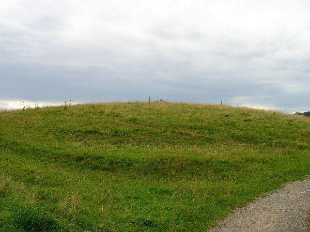
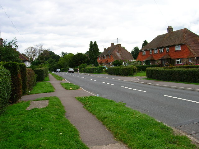
Balls Green is a small village situated in the county of Sussex, England. Located approximately 8 miles northeast of the town of Horsham, it falls within the local government district of Mid Sussex. The village is nestled amidst picturesque countryside, surrounded by rolling hills and expansive fields.

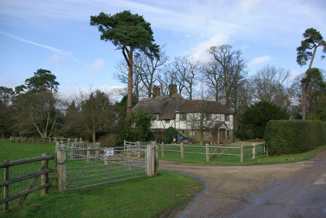
With a population of around 300 residents, Balls Green exudes a tranquil and close-knit community atmosphere. The village mainly comprises traditional cottages and houses, giving it a charming and quintessentially English feel. The architecture reflects the historical roots of the area, with some buildings dating back several centuries.

Despite its small size, Balls Green boasts a few local amenities to cater to its residents' needs. These include a village hall, which serves as a hub for social gatherings and community events. There are also a handful of small businesses, such as a local convenience store and a pub, where locals can gather for a friendly drink or meal.

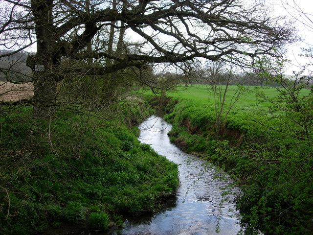
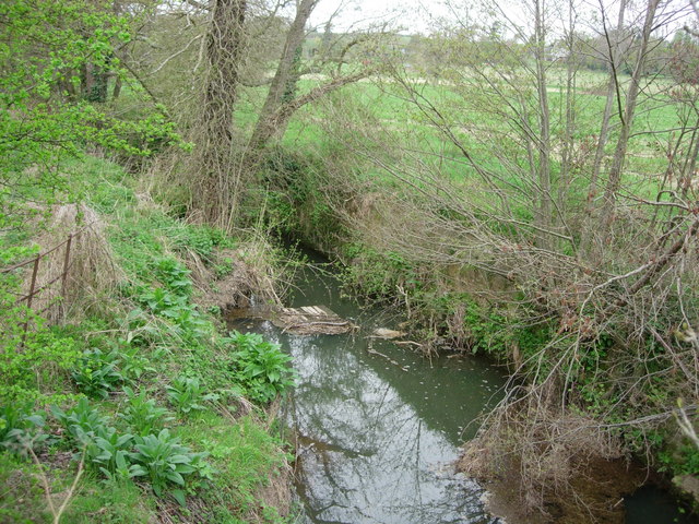
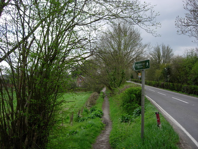
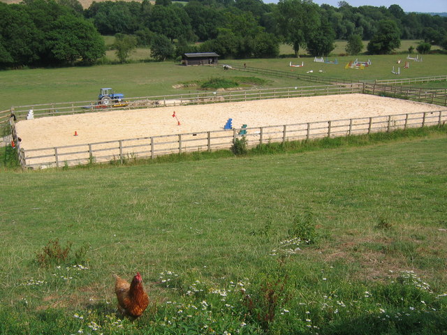
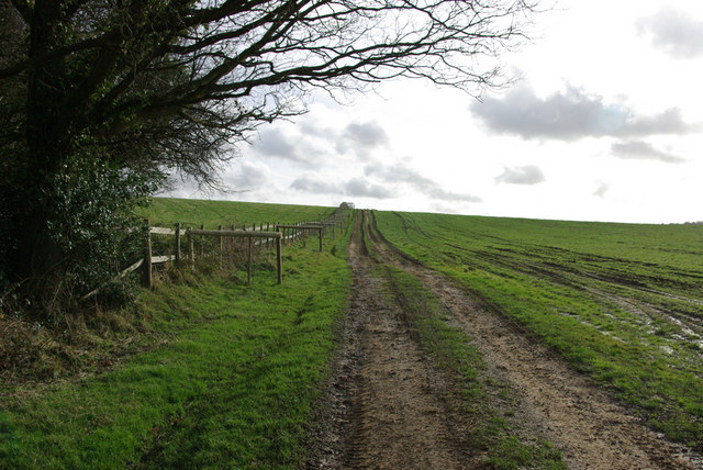
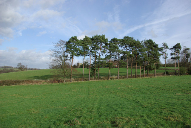
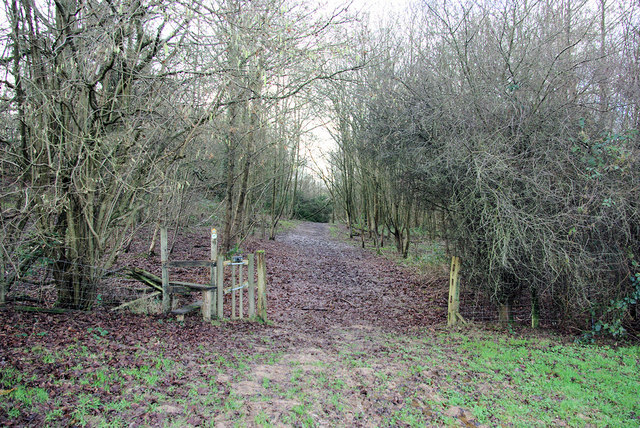
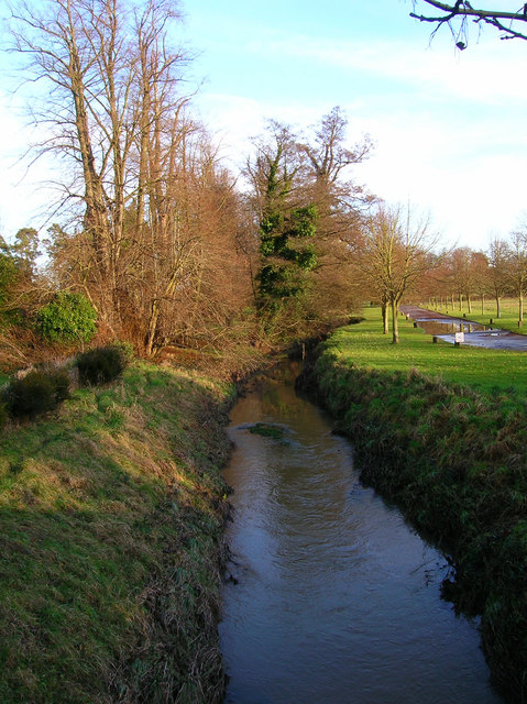
Surrounded by lush greenery, Balls Green offers plenty of opportunities for outdoor activities. The village is blessed with picturesque walking trails, allowing residents and visitors to explore the stunning countryside and enjoy the peaceful surroundings. Additionally, the nearby River Adur provides opportunities for fishing and other water-based pursuits.

Overall, Balls Green is a tranquil and idyllic village, offering a peaceful retreat away from the hustle and bustle of larger towns and cities. Its stunning natural surroundings and strong sense of community make it a desirable place to live for those seeking a quieter lifestyle in the heart of the Sussex countryside.

If you have any feedback on the listing, please let us know in the comments section below.

Balls Green Images

Images are sourced within 2km of 51.10592/0.13976694 or Grid Reference TQ4936. Thanks to Geograph Open Source API. All images are credited.

Cricket pavilion at Withyham
Motte and Bailey earthwork, Castlefields, Hartfield Looking north
Motte and Bailey earthwork, Castlefields, Hartfield
Looking north
Castlefields, Hartfield The B2110 heads east out of the village
Castlefields, Hartfield
The B2110 heads east out of the village
Withyam station Now a private home. The platform can just be made out in the undergrowth at the front of the picture.
Withyam station
Now a private home. The platform can just be made out in the undergrowth at the front of the picture.
River Medway - Hartfield This is the River Medway looking east from a bridge in Hartfield

This is the River Medway looking east from a road bridge in Hartfield.
River Medway - Hartfield
This is the River Medway looking east from a bridge in Hartfield This is the River Medway looking east from a road bridge in Hartfield.
The River Medway - Hartfield A tiny River Medway looking west from a road bridge in Hartfield.
The River Medway - Hartfield
A tiny River Medway looking west from a road bridge in Hartfield.
Footpath  -Hartfield A footpath leading to the old station in Hartfield, now a nursery school
Footpath -Hartfield
A footpath leading to the old station in Hartfield, now a nursery school
The River Medway This part of the River Medway is near to Balls Green village with the Forest Way close by.
The River Medway
This part of the River Medway is near to Balls Green village with the Forest Way close by.
Sand school and horse paddocks
Thatchers On the Buckhurst Estate, Hartfield.
Thatchers
On the Buckhurst Estate, Hartfield.
Track up the Hill A private track on the Buckhurst Estate.
Track up the Hill
A private track on the Buckhurst Estate.
Pines at Field Edge Withyham church peeps between two of the trees.
Pines at Field Edge
Withyham church peeps between two of the trees.
Bog Shaw The footpath leaves a wet and muddy field and enters a wet and muddy wood, appropriately named Bog Shaw.
Bog Shaw
The footpath leaves a wet and muddy field and enters a wet and muddy wood, appropriately named Bog Shaw.
Near Bog Shaw Looking north-west. The public footpath here comes in from the right at the bottom of the hill and takes this track to bridge a stream and head north-west.
Near Bog Shaw
Looking north-west. The public footpath here comes in from the right at the bottom of the hill and takes this track to bridge a stream and head north-west.
Molehills Bog Shaw is beyond.
Molehills
Bog Shaw is beyond.
Beech Green Lane in the Snow Falling snow confuses autofocus greatly.
Beech Green Lane in the Snow
Falling snow confuses autofocus greatly.
Beech Green Lane A snowy morning.
Beech Green Lane
A snowy morning.
Withyham Church
Withyham Church
Show me another place!

Balls Green is located at Grid Ref: TQ4936 (Lat: 51.10592, Lng: 0.13976694)

Administrative County: East Sussex

District: Wealdon

Police Authority: Sussex

What 3 Words

///mountains.amphibian.pursue. Near Groombridge, East Sussex

Nearby Locations

Balls Green

Related Wikis

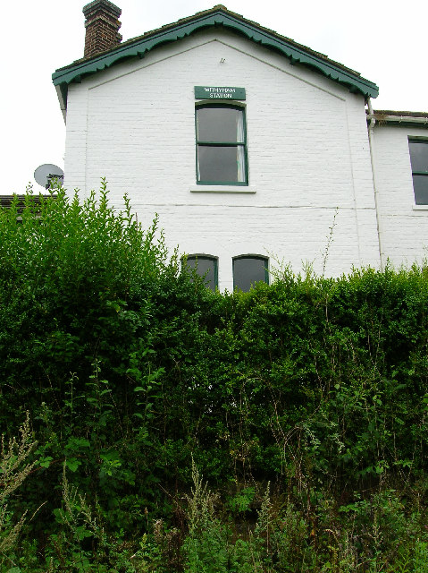
Withyham railway station

Withyham was a railway station on the Three Bridges to Tunbridge Wells Central Line which closed in 1967, a casualty of the Beeching Axe. The station opened...

Oliver Sutton (RAF officer)

Captain Oliver Manners Sutton (12 March 1896 – 16 August 1921) was a British First World War flying ace credited with seven aerial victories. == Family... ==

Withyham

Withyham is a village and large civil parish in the Wealden district of East Sussex, England. The village is situated 7 miles south west of Royal Tunbridge...

Buckhurst Park, East Sussex

Buckhurst Park is an English country house and landscaped park in Withyham, East Sussex. It is the seat of William Sackville, 11th Earl De La Warr.The...

Withyham Priory

Withyham Priory was a Benedictine monastic house in East Sussex, extant in 1086 and dissolved in 1413. == History == Robert, Count of Mortain, some time...

Mills Rocks

Mills Rocks is a 1.9-hectare (4.7-acre) biological Site of Special Scientific Interest south-east of East Grinstead in West Sussex.This site has rock outcrops...

River Grom

The River Grom is a short tributary of the River Medway near Tunbridge Wells in south-east England. Flowing westwards through High Rocks and Groombridge...

Hartfield railway station

Hartfield was a railway station serving Hartfield, England, on the Three Bridges to Tunbridge Wells Central Line which closed in 1967, a casualty of the...

Nearby Amenities

Located within 500m of 51.10592,0.13976694
Millennium Milepost Withyham
Description: 1) Groombridge 2.25 2) Hartfield 1.5
Image: https://www.cyclestreets.net/location/186470/cyclestreets186470-size640.jpg
Information: guidepost
Ncn Milepost: mccoll
Sustrans Ref: MP 854
Tourism: information
Lat/Long: 51.1076174/0.1398416
Bicycle Parking
Bicycle Parking: stands
Capacity: 4
Covered: no
Cyclestreets Id: 27766
Lat/Long: 51.1070603/0.1338864
Balls Green
Place: hamlet
Source: OS_OpenData_StreetView
Lat/Long: 51.1064448/0.1406945
Shelter
Shelter: yes
Shelter Type: public_transport
Lat/Long: 51.102216/0.1389188
Barrier: stile
Lat/Long: 51.1097159/0.1391918
Post Box
Brand: Royal Mail
Brand Wikidata: Q638098
Operator: Royal Mail
Operator Wikidata: Q638098
Post Box Type: lamp
Ref: TN7 67D
Royal Cypher: EIIR
Royal Cypher Wikidata: Q33102113
Lat/Long: 51.1060025/0.1399595
Mini Roundabout
Lat/Long: 51.1019933/0.1400101
Bench
Lat/Long: 51.106047/0.1398824
Public Bookcase
Booth: K6
Disused Amenity: telephone
Man Made: telephone_box
Public Bookcase Type: phone_box
Lat/Long: 51.1059145/0.1400344
The data included in this document is from www.openstreetmap.org. The data is made available under ODbL.

Have you been to Balls Green?

Leave your review of Balls Green below (or comments, questions and feedback).