Gatcombe Water
Lake, Pool, Pond, Freshwater Marsh in Gloucestershire Stroud
England
Gatcombe Water
Gatcombe Water is a picturesque freshwater marsh located in Gloucestershire, England. It is nestled within the idyllic landscape of the Gatcombe Estate, covering an area of approximately 20 acres. This tranquil body of water is often referred to as a lake, pool, or pond due to its size and characteristic features.
The water in Gatcombe Water is sourced from natural springs and rainfall, resulting in a pristine and crystal-clear environment. Surrounded by lush vegetation, including reeds and water lilies, the marsh provides a haven for a diverse range of flora and fauna.
The marshland is home to various species of water birds, such as herons, mallards, and coots, who find sanctuary in the rich ecosystem. It is also a popular spot for birdwatchers and nature enthusiasts, who can observe and appreciate the abundant wildlife.
Visitors to Gatcombe Water can enjoy peaceful walks around the perimeter of the marsh, taking in the tranquil atmosphere and enjoying the scenic views. The area is also suitable for picnics and offers a sense of calm and relaxation for those seeking respite from the hustle and bustle of everyday life.
Due to its natural beauty and ecological importance, Gatcombe Water is protected as a Site of Special Scientific Interest (SSSI). This designation ensures the preservation and conservation of the area's unique features and biodiversity.
Overall, Gatcombe Water is a serene and captivating freshwater marsh, offering a serene escape in the heart of Gloucestershire's countryside.
If you have any feedback on the listing, please let us know in the comments section below.
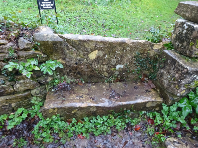
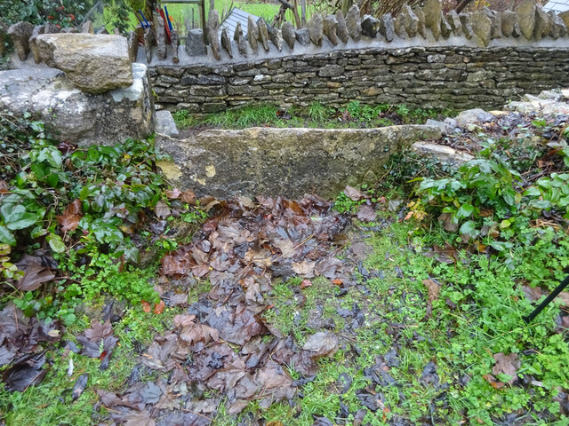
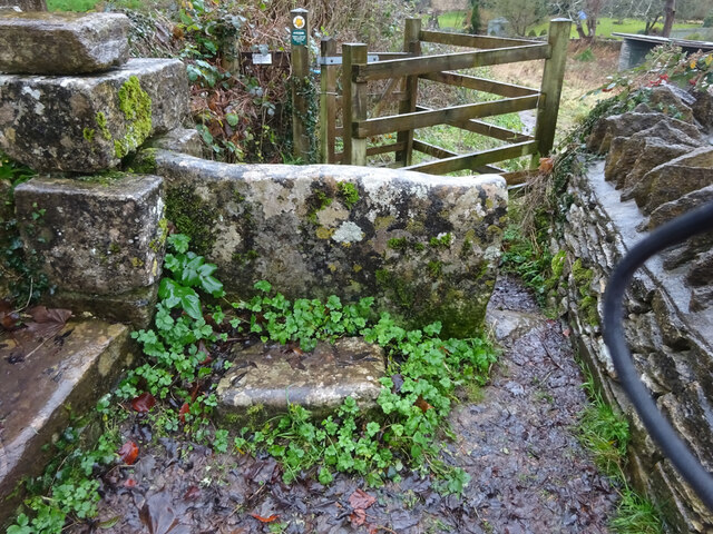
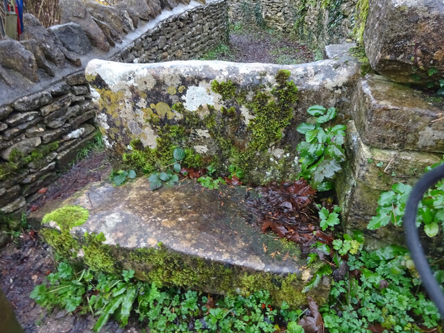
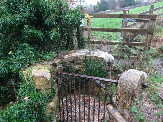
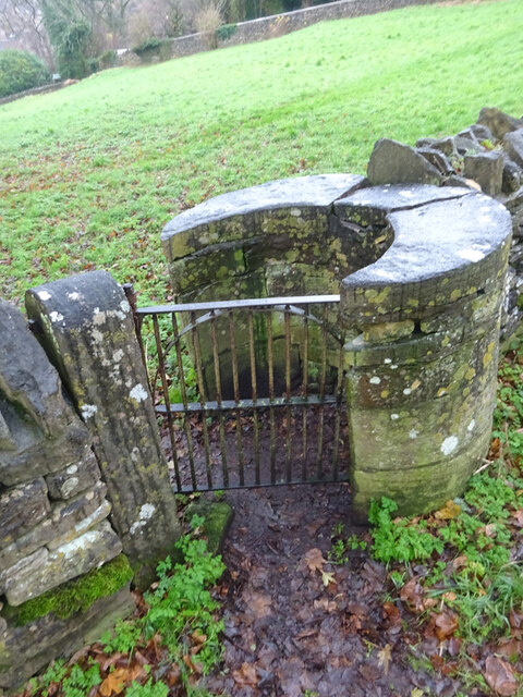
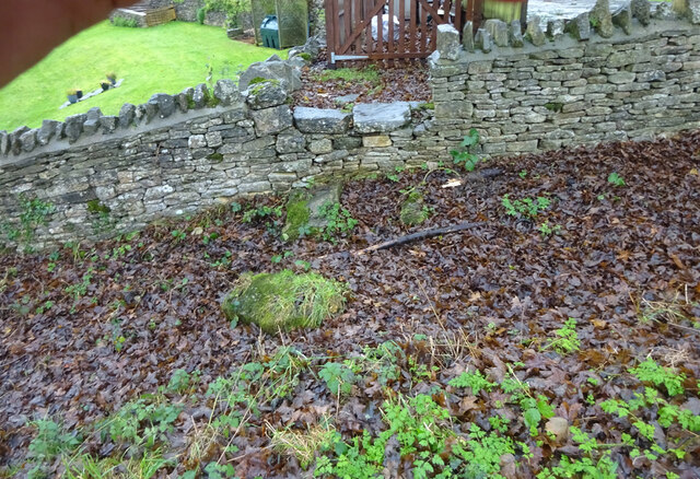
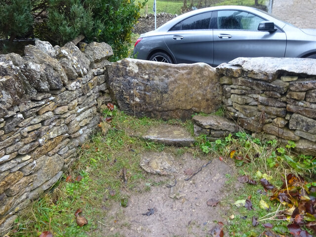
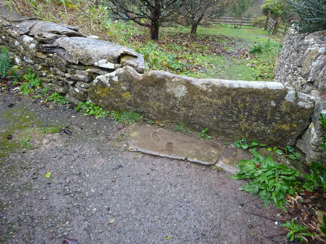
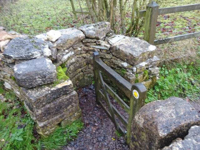
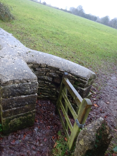
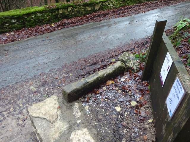
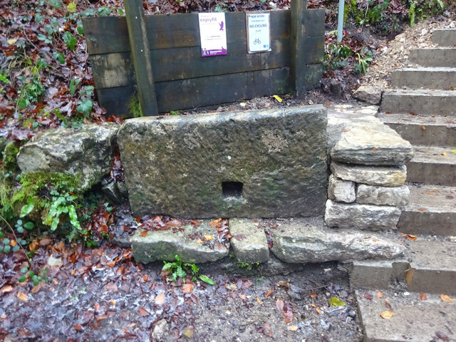
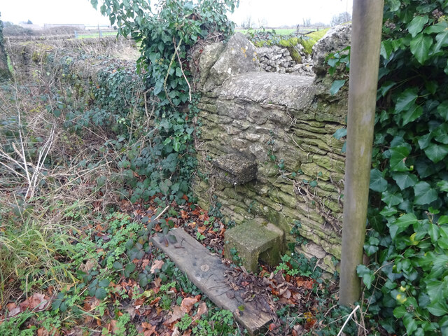
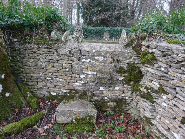
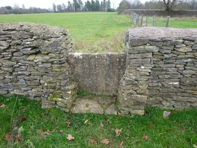
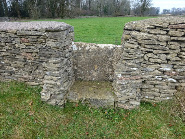
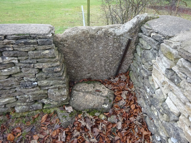
Gatcombe Water Images
Images are sourced within 2km of 51.691731/-2.1900046 or Grid Reference ST8699. Thanks to Geograph Open Source API. All images are credited.
Gatcombe Water is located at Grid Ref: ST8699 (Lat: 51.691731, Lng: -2.1900046)
Administrative County: Gloucestershire
District: Stroud
Police Authority: Gloucestershire
What 3 Words
///station.verb.loafer. Near Minchinhampton, Gloucestershire
Nearby Locations
Related Wikis

Ball's Green
Ball's Green is a hamlet in Gloucestershire, England. == External links == StreetMap.co.uk

Box Farm Meadows SSSI
Box Farm Meadows (Stuart Fawkes reserve) (grid reference ST865997) is a 8.3-hectare (21-acre) biological Site of Special Scientific Interest in Gloucestershire...

Gatcombe Park
Gatcombe Park is the country residence of Anne, Princess Royal, between the villages of Minchinhampton (to which it belongs) and Avening in Gloucestershire...

Minchinhampton Priory
Minchinhampton Priory was a priory in Gloucestershire, England. After the Norman Conquest the manor of Minchinhampton was granted to the Benedictine nuns...

Avening Valley
The Avening Valley is located in the South Cotswolds in England, running roughly east from Nailsworth and through the village of Avening.During the 17th...

Minchinhampton
Minchinhampton is a Cotswolds market town and a civil parish in the Stroud District of Gloucestershire, South West England. The town is located on a hilltop...

Church of the Holy Cross, Avening
The Anglican Church of the Holy Cross at Avening in the Cotswold District of Gloucestershire, England was built in late 11th century. It is a grade I listed...
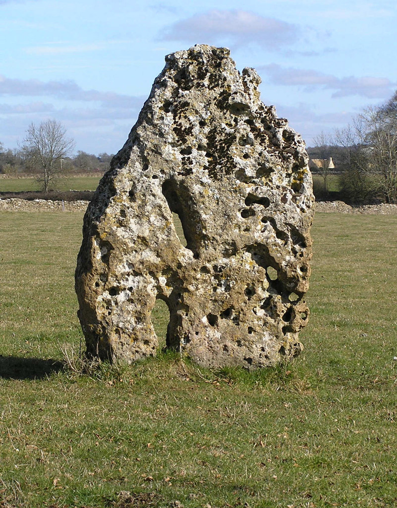
Longstone of Minchinhampton
The Longstone of Minchinhampton (grid reference ST884998) is a standing stone on Minchinhampton Common, Minchinhampton in Gloucestershire, England. The...
Nearby Amenities
Located within 500m of 51.691731,-2.1900046Have you been to Gatcombe Water?
Leave your review of Gatcombe Water below (or comments, questions and feedback).