Barrowford Reservoir
Lake, Pool, Pond, Freshwater Marsh in Lancashire Pendle
England
Barrowford Reservoir
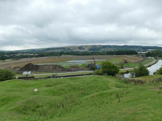
Barrowford Reservoir is a picturesque freshwater lake located in Lancashire, England. It is nestled amidst the rolling hills of the beautiful Pendle countryside, providing a tranquil escape for both locals and visitors. The reservoir, also known as Barrowford Lake, spans over an area of approximately 30 acres.
The lake is a popular destination for outdoor enthusiasts and nature lovers due to its stunning surroundings and abundant wildlife. It offers various recreational activities such as fishing, sailing, and birdwatching. Anglers are drawn to Barrowford Reservoir for its excellent fishing opportunities, with a diverse range of fish species including carp, pike, and perch.
Surrounded by lush greenery, the reservoir is a haven for birdlife. Visitors can often spot a variety of water birds such as swans, ducks, and geese, as well as more elusive species like herons and kingfishers. The area surrounding the lake also serves as a freshwater marsh, providing a habitat for various plant species and attracting a diverse range of wildlife.
Barrowford Reservoir is not only a natural gem but also has historical significance. It was originally constructed in the late 19th century as a water supply for the nearby town. The reservoir's tranquil waters, combined with its rich natural and historical heritage, make it a popular spot for leisurely walks and picnics.
Overall, Barrowford Reservoir offers a serene and idyllic setting for outdoor enthusiasts, wildlife enthusiasts, and those seeking a peaceful retreat in the heart of Lancashire's countryside.
If you have any feedback on the listing, please let us know in the comments section below.
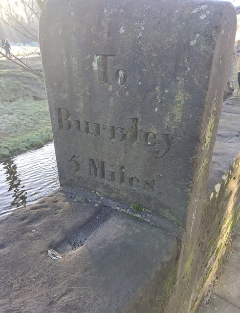
Barrowford Reservoir Images
Images are sourced within 2km of 53.856042/-2.2002753 or Grid Reference SD8639. Thanks to Geograph Open Source API. All images are credited.
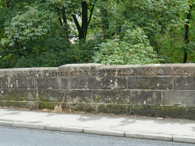
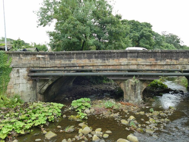
![Th' Owd Brig at Higherford This is described by Margaret Slack (Ref.1) as &#039;One of the most attractive packhorse bridges in [the Pennines] ...standing on the direct line of the Roman Road from Castercliffe to Ribchester. It was crossed by teams of packhorses bringing coal from near Gisburn and ... lime from Lothersdale.&#039; She adds that the date of the bridge is not known with certainty, but probably late 16th century.
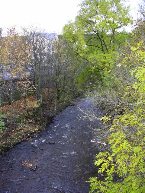
The bridge crosses Pendle Water, draining the steep eastern scarp of that great hill, and subject to flash flooding; Slack relates a story that a bell used to hang from the bridge that rang a warning when water approached flood level.
Listed grade II *(List entry 1273194) and a Scheduled Monument. Originally it would have had no, or very low, parapets to allow ponies with low-hanging panniers to cross; the present parapets were added in 1815.
(1) &#039;The Bridges of Lancashire and Yorkshire&#039;, Margaret Slack, 1986.](https://s0.geograph.org.uk/geophotos/07/26/54/7265480_820bca99.jpg)
Barrowford Reservoir is located at Grid Ref: SD8639 (Lat: 53.856042, Lng: -2.2002753)
Administrative County: Lancashire
District: Pendle
Police Authority: Lancashire
What 3 Words
///competing.tropic.flushes. Near Barrowford, Lancashire
Nearby Locations
Related Wikis

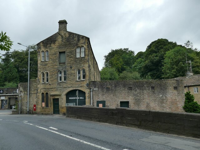
Higherford
Higherford is a village in the Pendle district of Lancashire, England. Although it is a village in its own right and shown on maps, it is sometimes confused...

Colne Primet Academy
Colne Primet Academy (formerly Colne Primet High School) is a mixed secondary school located in Colne in the English county of Lancashire.Previously a...
Nelson power station
Nelson power station supplied electricity to the town of Nelson, Lancashire and the surrounding area from 1892 to 1960. The power station was owned and...
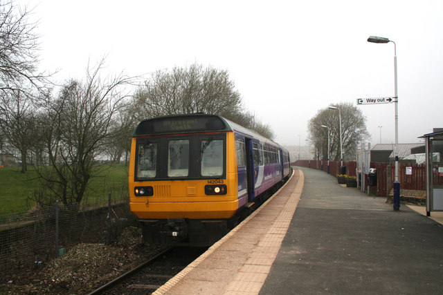
Colne railway station
Colne railway station serves the town of Colne, in Lancashire, England, which is situated close to Pendle Hill. The station, which is managed by Northern...

Pendle (UK Parliament constituency)
Pendle is a constituency in Lancashire represented in the House of Commons of the UK Parliament since 2010 by Andrew Stephenson, a Conservative. The constituency...
Bott Lane Halt railway station
Bott Lane Halt railway station was a station on the East Lancashire line between Nelson and Colne, in Lancashire, England. It was situated off Bott House...
Colne Water
Colne Water is a river in eastern Lancashire. It is approximately 5.0 miles (7.987 km) long and has a catchment area excluding its major tributaries (the...
Ss John Fisher and Thomas More Roman Catholic High School
Ss John Fisher and Thomas More RC High School is a coeducational secondary school located in Colne in the English county of Lancashire. The school is named...
Nearby Amenities
Located within 500m of 53.856042,-2.2002753Have you been to Barrowford Reservoir?
Leave your review of Barrowford Reservoir below (or comments, questions and feedback).