Park Hill
Heritage Site in Lancashire Pendle
England
Park Hill
Park Hill is a historic landmark located in Lancashire, England. This heritage site holds significant cultural and historical importance to the local community and visitors alike. Situated amidst lush greenery and rolling hills, Park Hill offers a serene and picturesque setting.
Originally built in the 18th century, Park Hill is a well-preserved example of Georgian architecture. The main building is a magnificent mansion characterized by its elegant design, grand entrance, and symmetrical layout. The intricate detailing on the exterior, with its ornate windows and decorative elements, showcases the craftsmanship of the era.
The interior of Park Hill is equally impressive, with spacious rooms adorned with exquisite period furnishings, luxurious tapestries, and stunning artwork. Each room has been meticulously preserved to reflect the grandeur and opulence of the Georgian era. Visitors can immerse themselves in the rich history of the mansion while exploring the various chambers, including the drawing room, library, and dining hall.
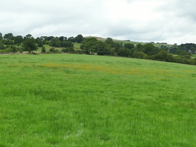
The surrounding grounds of Park Hill are equally captivating. The well-manicured gardens, complete with ornamental flower beds, tranquil ponds, and winding pathways, provide a tranquil setting for visitors to unwind and take in the natural beauty of the estate. The expansive parkland offers ample space for leisurely strolls or picnics, providing a perfect escape from the hustle and bustle of everyday life.
Park Hill serves as a testament to Lancashire's rich heritage and offers a window into the past. Its architectural beauty, coupled with its stunning natural surroundings, makes it a must-visit attraction for history enthusiasts, architecture lovers, and nature admirers alike.
If you have any feedback on the listing, please let us know in the comments section below.
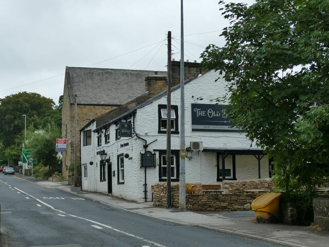
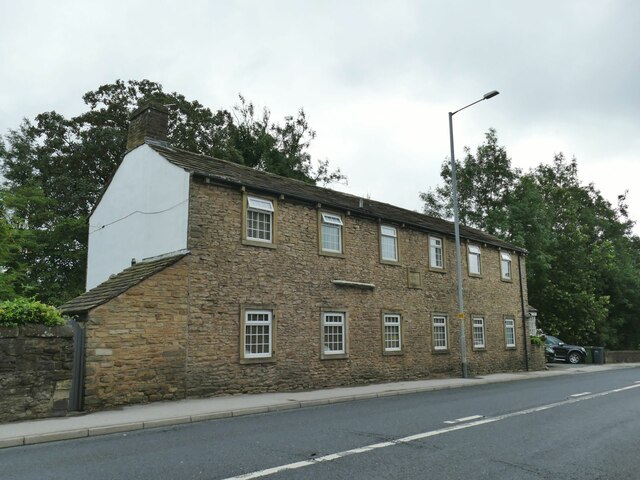
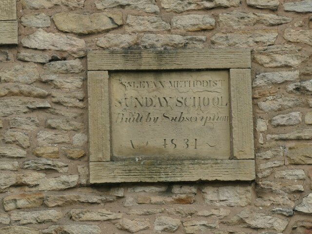
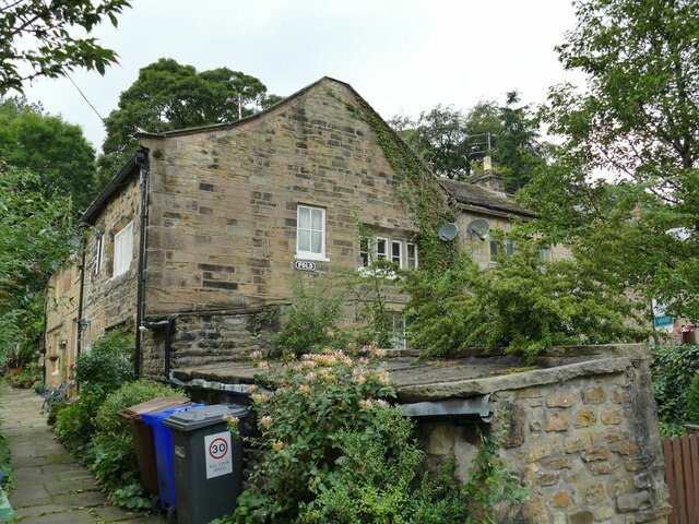
Park Hill Images
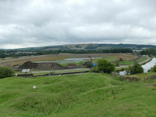
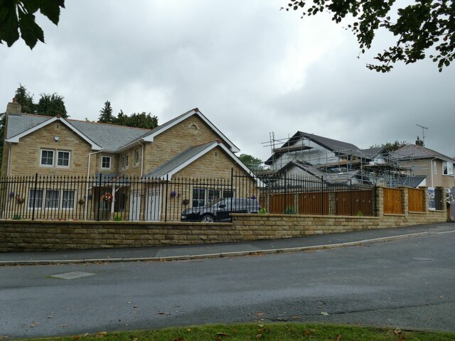
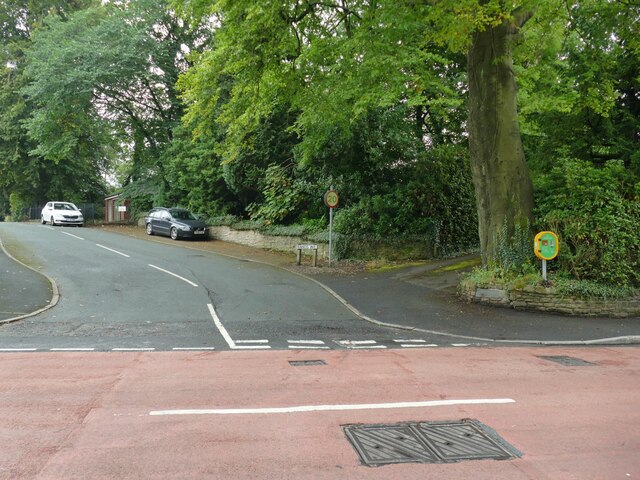
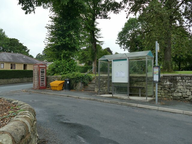
Images are sourced within 2km of 53.852/-2.205 or Grid Reference SD8639. Thanks to Geograph Open Source API. All images are credited.
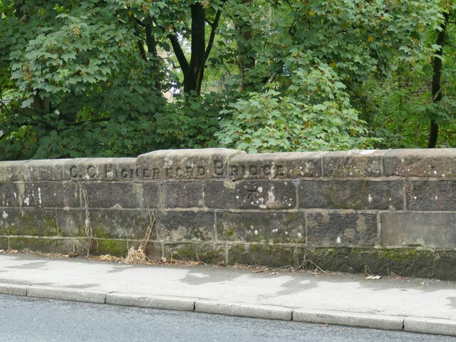
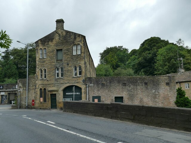
![Th' Owd Brig at Higherford This is described by Margaret Slack (Ref.1) as &#039;One of the most attractive packhorse bridges in [the Pennines] ...standing on the direct line of the Roman Road from Castercliffe to Ribchester. It was crossed by teams of packhorses bringing coal from near Gisburn and ... lime from Lothersdale.&#039; She adds that the date of the bridge is not known with certainty, but probably late 16th century.
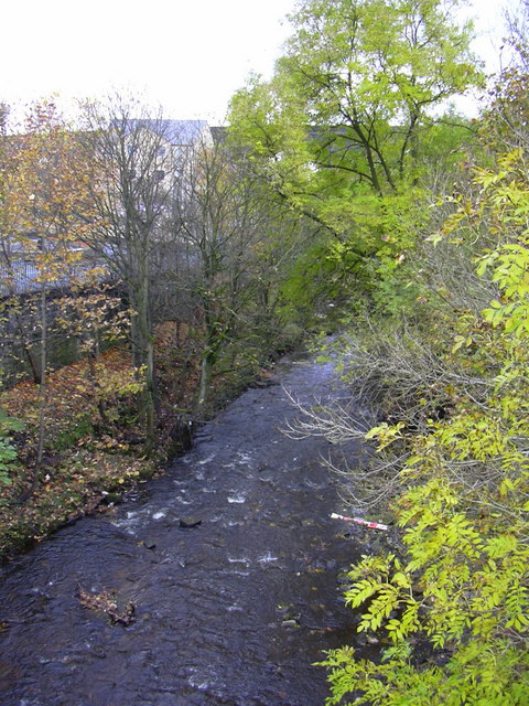
The bridge crosses Pendle Water, draining the steep eastern scarp of that great hill, and subject to flash flooding; Slack relates a story that a bell used to hang from the bridge that rang a warning when water approached flood level.
Listed grade II *(List entry 1273194) and a Scheduled Monument. Originally it would have had no, or very low, parapets to allow ponies with low-hanging panniers to cross; the present parapets were added in 1815.
(1) &#039;The Bridges of Lancashire and Yorkshire&#039;, Margaret Slack, 1986.](https://s0.geograph.org.uk/geophotos/07/26/54/7265480_820bca99.jpg)
Park Hill is located at Grid Ref: SD8639 (Lat: 53.852, Lng: -2.205)
Administrative County: Lancashire
District: Pendle
Police Authority: Lancashire
What 3 Words
///scribble.smug.sonic. Near Barrowford, Lancashire
Nearby Locations
Related Wikis

Nelson power station
Nelson power station supplied electricity to the town of Nelson, Lancashire and the surrounding area from 1892 to 1960. The power station was owned and...
Colne Water
Colne Water is a river in eastern Lancashire. It is approximately 5.0 miles (7.987 km) long and has a catchment area excluding its major tributaries (the...

Pendle (UK Parliament constituency)
Pendle is a constituency in Lancashire represented in the House of Commons of the UK Parliament since 2010 by Andrew Stephenson, a Conservative. The constituency...

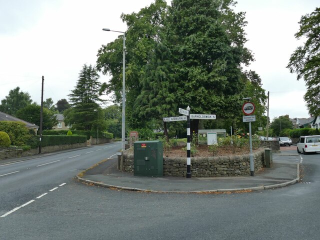
Higherford
Higherford is a village in the Pendle district of Lancashire, England. Although it is a village in its own right and shown on maps, it is sometimes confused...
Bott Lane Halt railway station
Bott Lane Halt railway station was a station on the East Lancashire line between Nelson and Colne, in Lancashire, England. It was situated off Bott House...
Barrowford
Barrowford () is a large village and civil parish in the Pendle district of Lancashire, England. It is situated to the north of Nelson on the other side...
Colne Primet Academy
Colne Primet Academy (formerly Colne Primet High School) is a mixed secondary school located in Colne in the English county of Lancashire.Previously a...
Pendle Vale College
Pendle Vale College is a mixed 11 to 16 comprehensive school located in Nelson, Lancashire. == History == The school initially opened in 2006 as part of...
Related Videos

Tour of Nelson/Nelson Lancashire Visit/travel in nelson#nelson#lancashire#uk#beauty#uk#unitedkingdom
This video is made by kaleem Ur Rehman during the visit to the beautiful town Nelson Lancashire #travel #nelson #lancashire ...


The Village Pizzeria | Shorts | TFT
WELCOME TO THE CHANNEL.*** IF YOU ARE A FOODIE AND YOU LOVE FOOD REVIEWS, YOU HAVE COME TO THE RIGHT ...
Nearby Amenities
Located within 500m of 53.852,-2.205Have you been to Park Hill?
Leave your review of Park Hill below (or comments, questions and feedback).