Ball's Green
Downs, Moorland in Gloucestershire Stroud
England
Ball's Green
Ball's Green is a picturesque village located in the county of Gloucestershire, England. Situated on the eastern edge of the Cotswolds, it is nestled amidst a stunning landscape of rolling downs and moorland. The village itself is small, with a population of around 200 residents, providing a tranquil and close-knit community atmosphere.
The Downs, which dominate the area, are characterized by their lush green meadows, dotted with grazing livestock and wildflowers. The undulating terrain offers breathtaking panoramic views of the surrounding countryside, making it a popular destination for nature lovers and hikers.
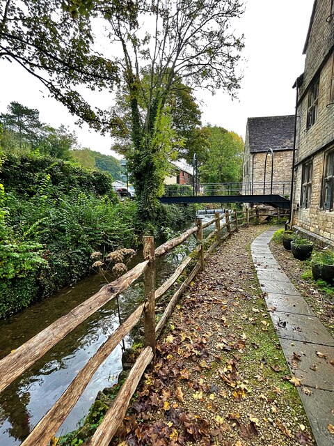
Moorland, on the other hand, adds a different dimension to the landscape. Here, visitors can explore vast expanses of open, heather-covered moors, interspersed with babbling streams and ancient woodlands. The moorland is home to a rich diversity of wildlife, including deer, birds of prey, and various species of flora and fauna.
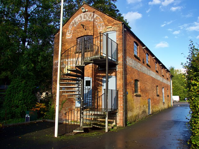
Ball's Green is renowned for its idyllic rural charm, with traditional stone cottages and farmhouses dotting the village. The community takes great pride in its heritage, and many of the buildings have been lovingly preserved, showcasing the architectural styles of the region.
Despite its small size, Ball's Green boasts a vibrant community spirit, with regular social events and activities taking place throughout the year. The village also benefits from a local pub, providing a hub for locals and visitors alike to relax and enjoy the warm hospitality of the area.
In summary, Ball's Green, Gloucestershire offers a picturesque and peaceful escape to those seeking to immerse themselves in the beauty of the Cotswolds. With its stunning downs and moorland, charming village atmosphere, and rich natural heritage, it is a hidden gem waiting to be discovered.
If you have any feedback on the listing, please let us know in the comments section below.
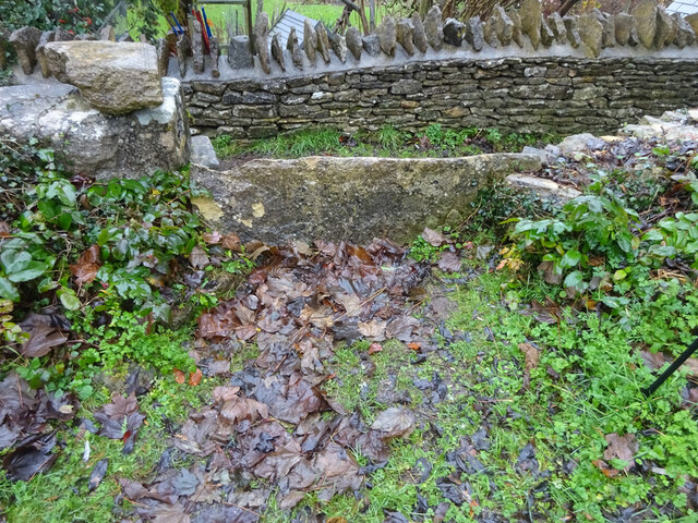
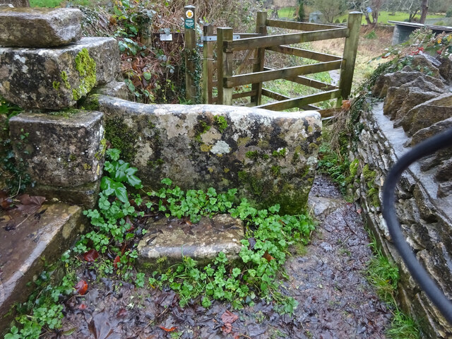
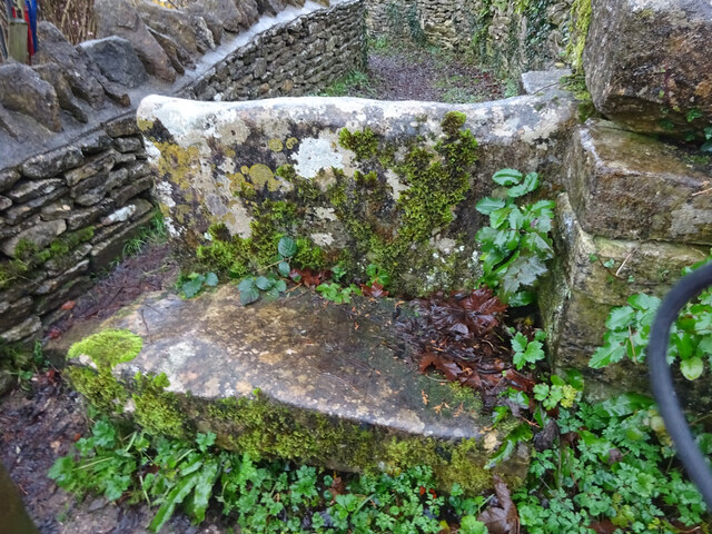
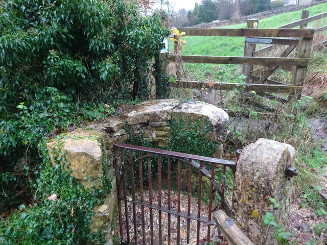
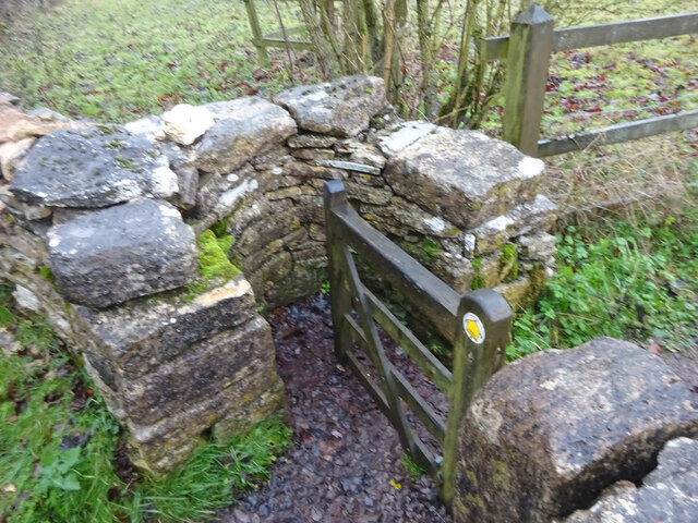
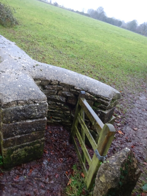
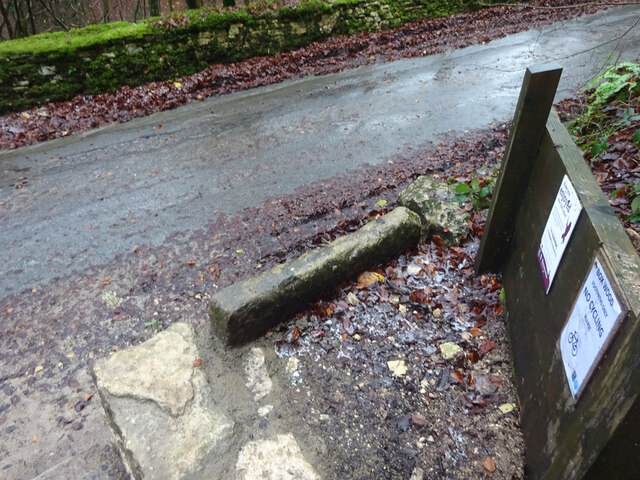
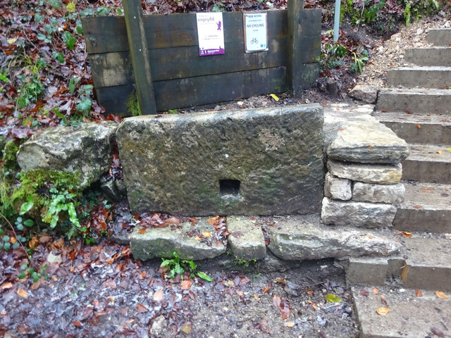
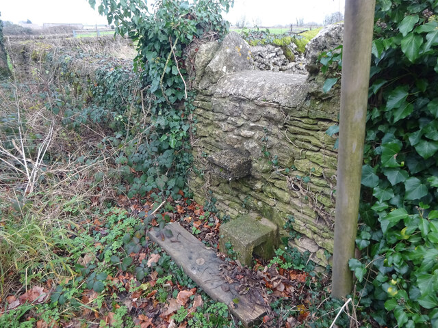
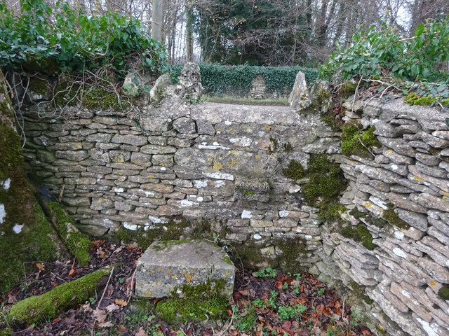
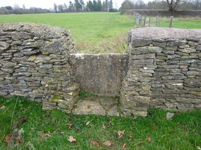
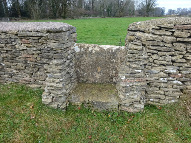
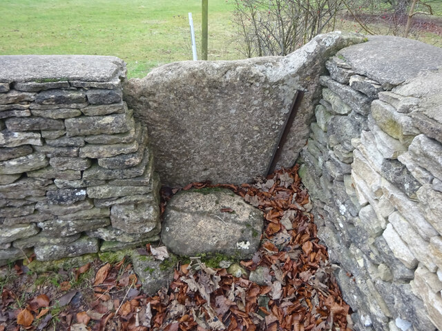
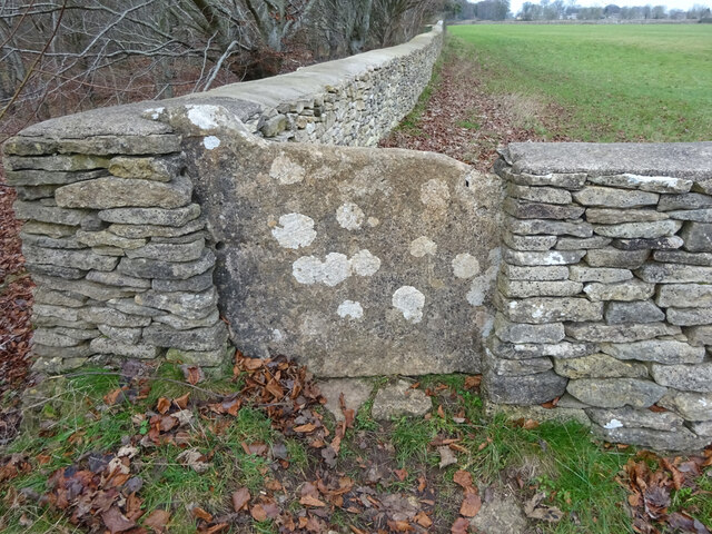
Ball's Green Images
Images are sourced within 2km of 51.694982/-2.1926659 or Grid Reference ST8699. Thanks to Geograph Open Source API. All images are credited.
Ball's Green is located at Grid Ref: ST8699 (Lat: 51.694982, Lng: -2.1926659)
Administrative County: Gloucestershire
District: Stroud
Police Authority: Gloucestershire
What 3 Words
///premiums.showrooms.noisy. Near Minchinhampton, Gloucestershire
Nearby Locations
Related Wikis

Ball's Green
Ball's Green is a hamlet in Gloucestershire, England. == External links == StreetMap.co.uk

Box Farm Meadows SSSI
Box Farm Meadows (Stuart Fawkes reserve) (grid reference ST865997) is a 8.3-hectare (21-acre) biological Site of Special Scientific Interest in Gloucestershire...

Minchinhampton Priory
Minchinhampton Priory was a priory in Gloucestershire, England. After the Norman Conquest the manor of Minchinhampton was granted to the Benedictine nuns...

Minchinhampton
Minchinhampton is a Cotswolds market town and a civil parish in the Stroud District of Gloucestershire, South West England. The town is located on a hilltop...

Box, Gloucestershire
Box is a small village in Gloucestershire, England. It is in the civil parish of Minchinhampton, and is located 3 miles (4.8 km) south of Stroud and 10...

Gatcombe Park
Gatcombe Park is the country residence of Anne, Princess Royal, between the villages of Minchinhampton (to which it belongs) and Avening in Gloucestershire...
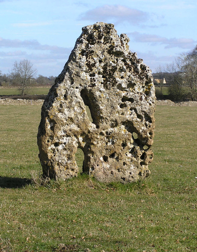
Longstone of Minchinhampton
The Longstone of Minchinhampton (grid reference ST884998) is a standing stone on Minchinhampton Common, Minchinhampton in Gloucestershire, England. The...

Egypt Mill
Egypt Mill is a Grade II* listed building and a former mill located in Nailsworth, a market town within the Stroud district of Gloucestershire, England...
Nearby Amenities
Located within 500m of 51.694982,-2.1926659Have you been to Ball's Green?
Leave your review of Ball's Green below (or comments, questions and feedback).