Maskelyne's Copse

Wood, Forest in Wiltshire

England

Maskelyne's Copse

Laurel farm, Cloatley End North of the minor road from Hankerton to Minety.
Laurel farm, Cloatley End Credit: Roger Cornfoot

Maskelyne's Copse is a picturesque woodland located in Wiltshire, England. Covering an area of approximately 20 acres, it is nestled within the enchanting countryside of the county. The copse is named after the Maskelyne family, who have owned the land for several generations.

This ancient woodland is known for its diverse flora and fauna, showcasing the natural beauty of the region. The copse is predominantly composed of deciduous trees, with a mixture of oak, beech, and ash being the most prevalent species. The woodland floor is adorned with a colorful carpet of wildflowers during the spring, adding to its charm.

Maskelyne's Copse is a haven for wildlife enthusiasts, with a variety of animal species calling it home. Birdwatchers can spot numerous songbirds, including thrushes, finches, and warblers, as they flit amongst the treetops. The copse is also a habitat for mammals such as badgers, foxes, and deer, which can occasionally be glimpsed by lucky visitors.

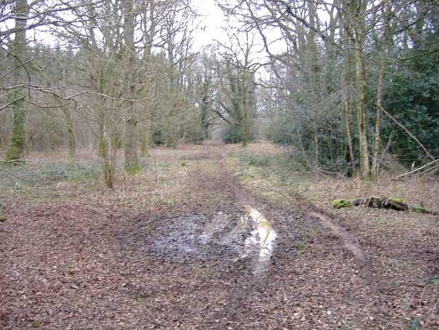
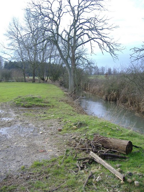
The copse is crisscrossed by several footpaths, offering visitors the opportunity to explore its natural wonders. Walking through the woodland, one can enjoy the tranquil ambiance and immerse themselves in the sights and sounds of nature. The copse also boasts a small pond, attracting an array of water-dwelling creatures.

Maskelyne's Copse is a cherished local treasure, providing a serene escape from the bustle of everyday life. Its idyllic setting and rich biodiversity make it a popular destination for nature lovers and those seeking solace in the great outdoors. Whether it's a leisurely stroll or a birdwatching expedition, this enchanting woodland offers a memorable experience for all who visit.

If you have any feedback on the listing, please let us know in the comments section below.

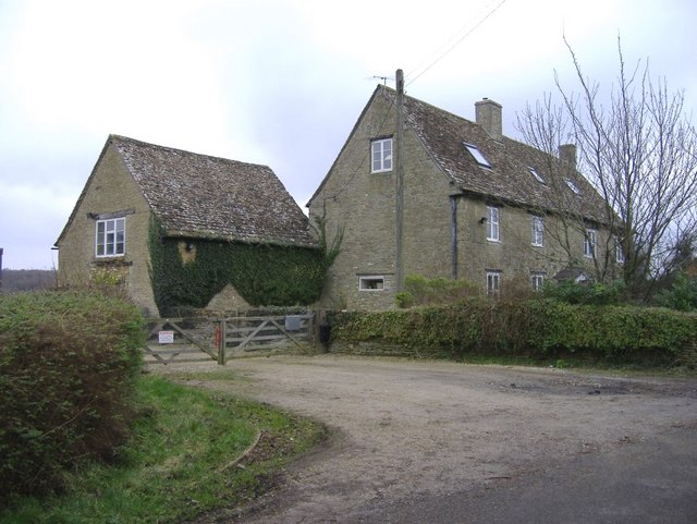
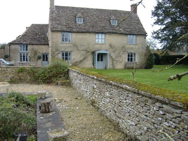
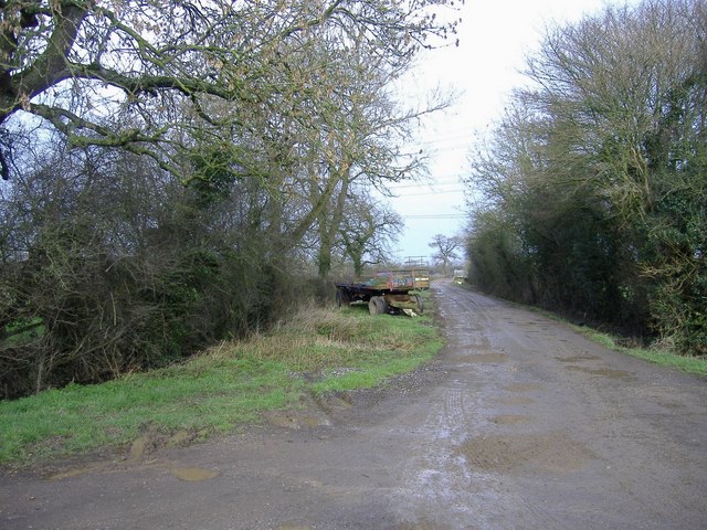
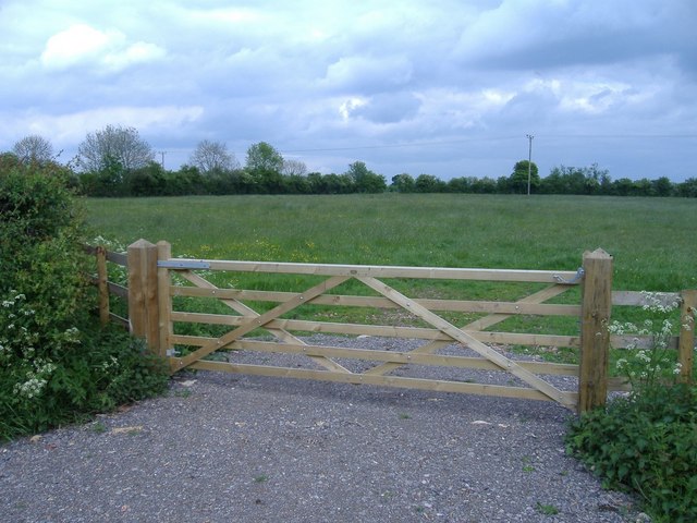
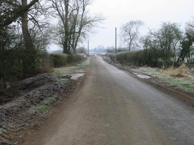
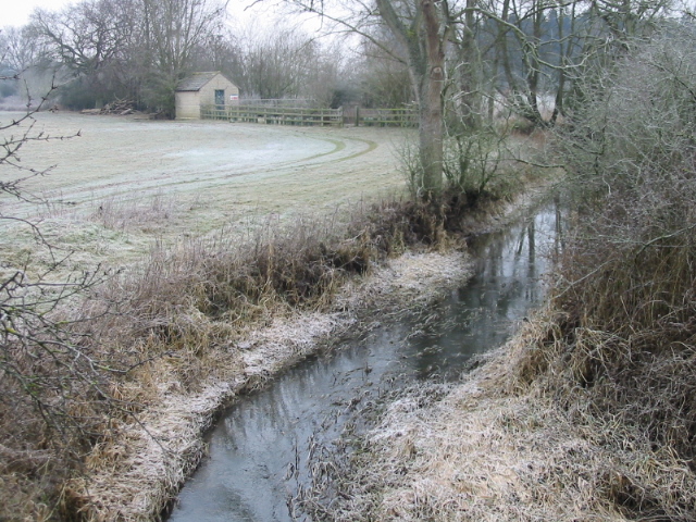
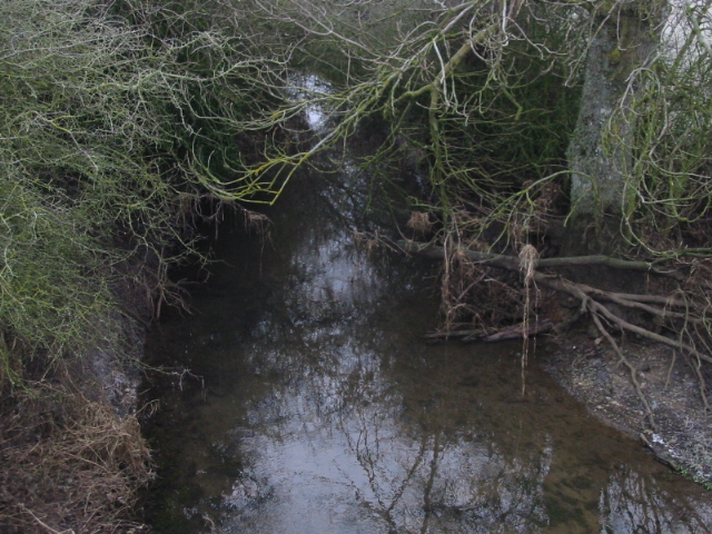
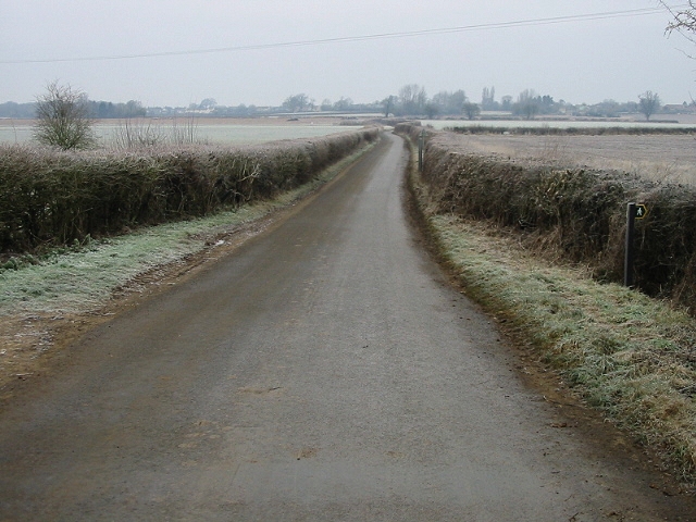
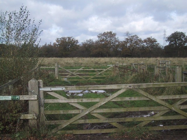
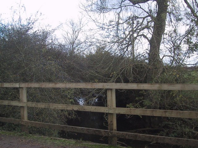
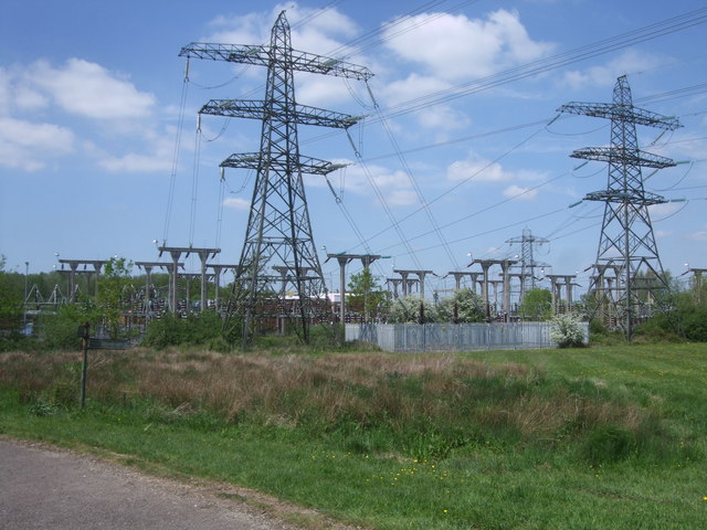
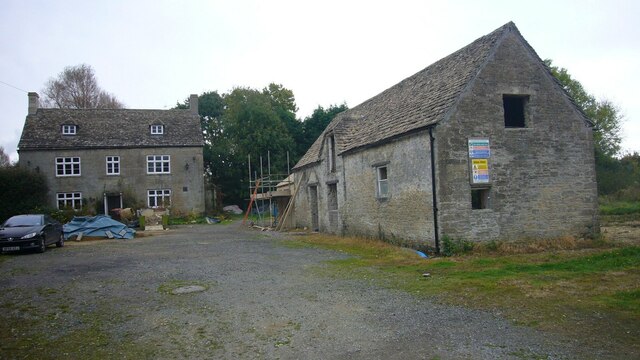
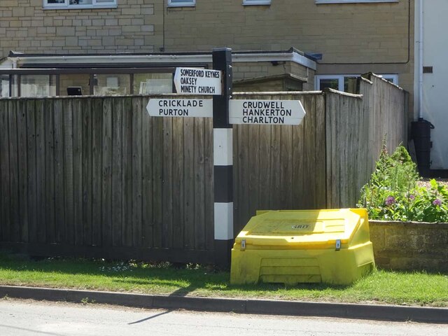
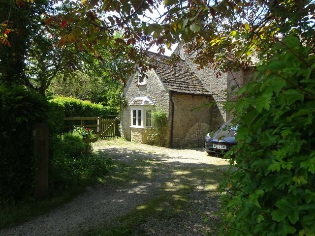
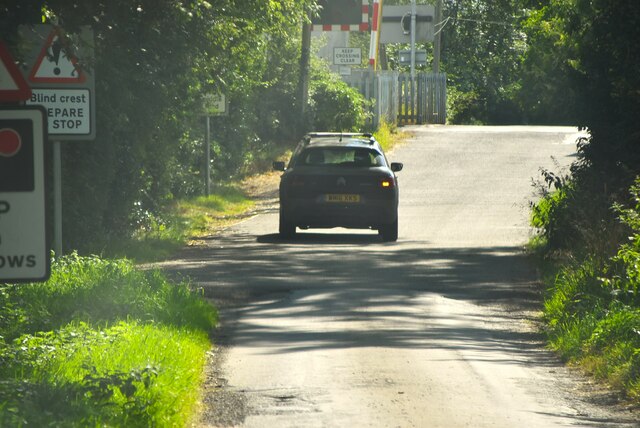
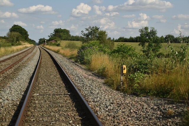
Maskelyne's Copse Images

Images are sourced within 2km of 51.621232/-2.0045743 or Grid Reference ST9991. Thanks to Geograph Open Source API. All images are credited.

Laurel farm, Cloatley End North of the minor road from Hankerton to Minety.
Laurel farm, Cloatley End
North of the minor road from Hankerton to Minety.
Braydon Brook farm Located west of Flisteridge Hill, and bordered by the Braydon Brook.
Braydon Brook farm
Located west of Flisteridge Hill, and bordered by the Braydon Brook.
Flisteridge Wood Mixed woodland, cloaking both sides of the minor road between Minety and Crudwell.
Flisteridge Wood
Mixed woodland, cloaking both sides of the minor road between Minety and Crudwell.
Swill Brook One of the main tributaries of the infany River Thames.
Swill Brook
One of the main tributaries of the infany River Thames.
Track to Stert farm
Track to Stert farm
Field, near Eastcourt House
View along Minety Lane to Oaksey Ford Bridge The bridge (the sign for which can just be seen on the left of the road) crosses Swill Brook.
View along Minety Lane to Oaksey Ford Bridge
The bridge (the sign for which can just be seen on the left of the road) crosses Swill Brook.
Swill Brook near Oaksey
Swill Brook looking NE The brook flows under the Oaksey Road, from SW to NE at this point.
Swill Brook looking NE
The brook flows under the Oaksey Road, from SW to NE at this point.
Looking NW along Minety Lane
Double gateway at Cloatley
The Swill Brook south of Oaksey
Electricity pylons, Minety Substation The massive pylons and complex of the National Grid Minety electricity substation, incongruous in a rural setting. Note the public footpath signpost in the lower left hand corner.
Electricity pylons, Minety Substation
The massive pylons and complex of the National Grid Minety electricity substation, incongruous in a rural setting. Note the public footpath signpost in the lower left hand corner.
The Old Inn A former public house.
The Old Inn
A former public house.
Fingerpost, Upper Minety At the junction of Hornbury Hill, Flisteridge Road and Crossings Lane. 
Flistergate (right) was a toll gate in the 18ᵗʰ C. 
Opposite <a href="https://www.geograph.org.uk/photo/7502309">SU0090 : The Old Toll House, Upper Minety</a>

Inscription: Cricklade / Purton // Somerford Keynes / Oaksey / Minety Church // Crudwell / Hankerton / Charlton

Milestone Society National ID: WI_SU0090
Fingerpost, Upper Minety
At the junction of Hornbury Hill, Flisteridge Road and Crossings Lane. Flistergate (right) was a toll gate in the 18ᵗʰ C. Opposite SU0090 : The Old Toll House, Upper Minety Inscription: Cricklade / Purton // Somerford Keynes / Oaksey / Minety Church // Crudwell / Hankerton / Charlton Milestone Society National ID: WI_SU0090
The Old Toll House, Upper Minety At the corner of Flisteridge Road, Crossing Lane and Hanbury Hill. There would not appear to have been any milestones along Flisteridge, so that turnpike may have been associated with a private estate.
The Toll Gate appears on the David Rumsey 1858 map.

Milestone Society National ID: WI.MIN2
The Old Toll House, Upper Minety
At the corner of Flisteridge Road, Crossing Lane and Hanbury Hill. There would not appear to have been any milestones along Flisteridge, so that turnpike may have been associated with a private estate. The Toll Gate appears on the David Rumsey 1858 map. Milestone Society National ID: WI.MIN2
Crossing Lane
Crossing Lane
Railway line near Minety
Show me another place!

Maskelyne's Copse is located at Grid Ref: ST9991 (Lat: 51.621232, Lng: -2.0045743)

Unitary Authority: Wiltshire

Police Authority: Wiltshire

What 3 Words

///foal.tagging.grins. Near Hankerton, Wiltshire

Related Wikis

Brandier

Brandier is a hamlet in north Wiltshire, England, near Minety. Until the Counties Act of 1844, it was in Gloucestershire. Brandier was the site of extensive...

Emmett Hill Meadows

Emmett Hill Meadows (grid reference SU009901) is a 5.1 hectare biological Site of Special Scientific Interest in Wiltshire, notified in 1987. The site...

Cloatley Manor Farm Meadows

Cloatley Manor Farm Meadows (grid reference ST981910) is a 12.1 hectare biological Site of Special Scientific Interest in Wiltshire, notified in 1997....

Clattinger Farm

Clattinger Farm (grid reference SU012933) is a 60.3 hectare biological Site of Special Scientific Interest in Wiltshire, notified in 1971. The site is...

Nearby Amenities

Located within 500m of 51.621232,-2.0045743
Power: tower
Source: bing
Lat/Long: 51.6250877/-2.0020754
Power: tower
Source: bing
Lat/Long: 51.6226024/-2.0026917
Power: tower
Source: bing
Lat/Long: 51.6199274/-2.003472
Power: tower
Source: bing
Lat/Long: 51.6198607/-2.0029688
Power: tower
Source: bing
Lat/Long: 51.625035/-2.0015722
Power: tower
Source: bing
Lat/Long: 51.6226445/-2.0021772
The data included in this document is from www.openstreetmap.org. The data is made available under ODbL.

Have you been to Maskelyne's Copse?

Leave your review of Maskelyne's Copse below (or comments, questions and feedback).