Cote Hill
Hill, Mountain in Northumberland
England
Cote Hill
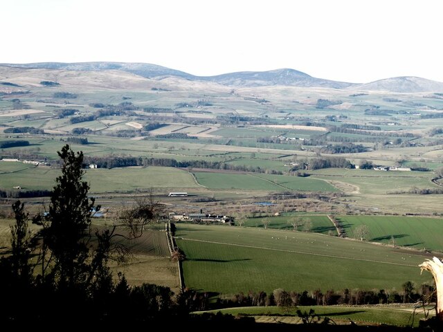
Cote Hill is a prominent hill located in the county of Northumberland, England. Standing at an elevation of 317 meters (1,040 feet), it is classified as a hill rather than a mountain. Positioned in the northern region of the county, Cote Hill is part of the Pennines, a range of hills and mountains that stretches across northern England.
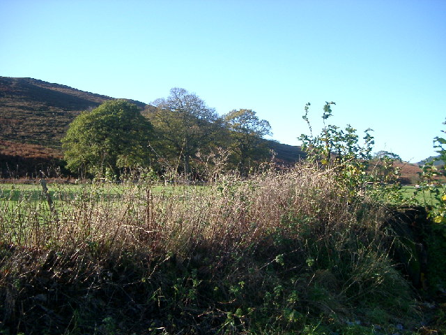
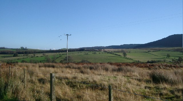
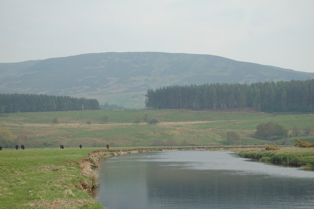
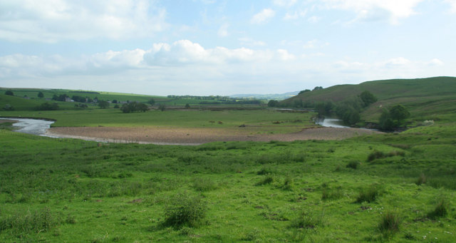
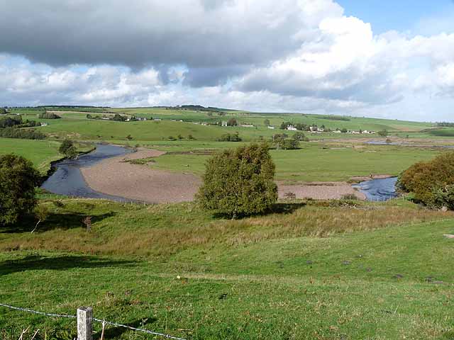
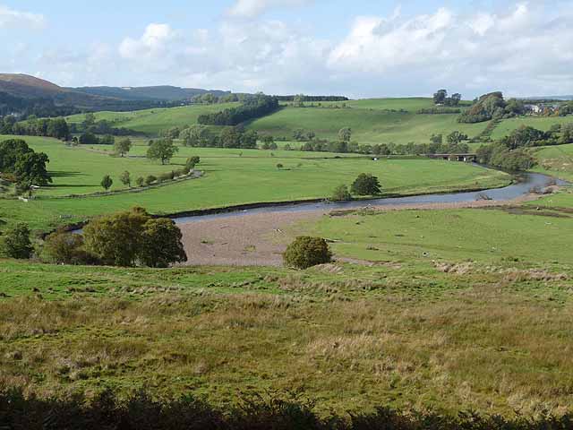
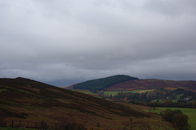
The hill offers stunning panoramic views of the surrounding countryside, including the vast Northumberland National Park to the west. Its location makes it a popular destination for hikers, nature enthusiasts, and photographers, who are drawn to its beauty and tranquility.
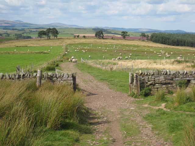
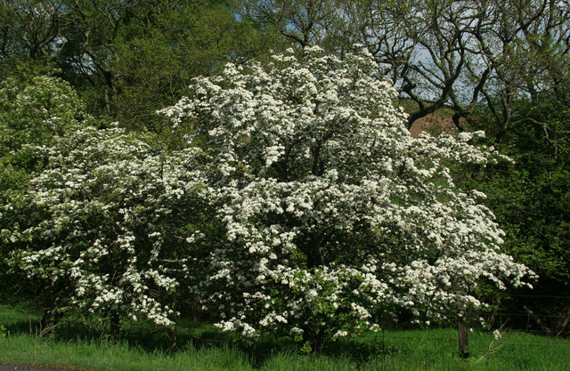
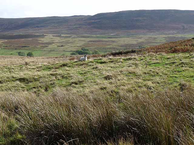
Cote Hill is characterized by its gentle slopes, covered with a mixture of grasses, heather, and occasional patches of shrubs. The hill is not heavily wooded, allowing for clear vistas in all directions. On the summit, there is a trig point, providing a reference point for surveyors and walkers. The area is home to a variety of wildlife, such as birds, hares, and deer, making it a haven for wildlife watchers.
Access to Cote Hill is relatively easy, with several walking routes and footpaths leading to the summit. The hill is a popular spot for outdoor activities, including hiking, orienteering, and picnicking. The surrounding area offers ample parking facilities and amenities for visitors.
Overall, Cote Hill in Northumberland is a picturesque and accessible hill, offering visitors a chance to immerse themselves in the natural beauty and tranquility of the Northumberland countryside.
If you have any feedback on the listing, please let us know in the comments section below.
Cote Hill Images
Images are sourced within 2km of 55.29458/-2.0171995 or Grid Reference NT9900. Thanks to Geograph Open Source API. All images are credited.


Cote Hill is located at Grid Ref: NT9900 (Lat: 55.29458, Lng: -2.0171995)
Unitary Authority: Northumberland
Police Authority: Northumbria
What 3 Words
///airtime.obtain.ducks. Near Rothbury, Northumberland
Nearby Locations
Related Wikis

Hepple
Hepple is a small village and parish in rural Northumberland, 4 miles (6.4 km) west of Rothbury, which provides most of its local services. It is on the...

Reivers Way
The Reivers Way is a long-distance footpath in Northumberland, passing through the Northumberland National Park and the Cheviot Hills. Totalling 242 kilometres...

Tosson Hill
Tosson Hill is the highest hill in the Simonside Hills to the south of Rothbury in Northumberland, England. The summit lies about 2 kilometres (1.2 mi...
Simonside Hills
The Simonside Hills are a hill range in Northumberland, England near the town of Rothbury. Most of the hills are around 300–400 metres (980–1,310 ft) high...
High Cove
High Cove is a major slip feature to the west of Grasslees Burn in the Simonside Hills, Northumberland, England. It contains several small rifts and caves...

Holystone, Northumberland
Holystone is a small village and former civil parish, now in the parish of Harbottle, in Northumberland, England. It lies on the edge of (and just within...

Thropton
Thropton is a hamlet in Northumberland, England, located on the River Coquet, and its tributary Wreigh Burn. With a population of 458 (2011 census) it...

Sharperton
Sharperton is a small settlement and former civil parish, now in the parish of Harbottle, in Northumberland, England. Sharperton is the site of a deserted...
Nearby Amenities
Located within 500m of 55.29458,-2.0171995Have you been to Cote Hill?
Leave your review of Cote Hill below (or comments, questions and feedback).