Park Hill
Hill, Mountain in Yorkshire Craven
England
Park Hill
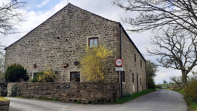
Park Hill is a prominent hill located in the county of Yorkshire, England. Standing at an elevation of approximately 250 meters (820 feet), it is considered one of the highest peaks in the region. The hill is situated near the village of Sutton-under-Whitestonecliffe, in the Hambleton district.
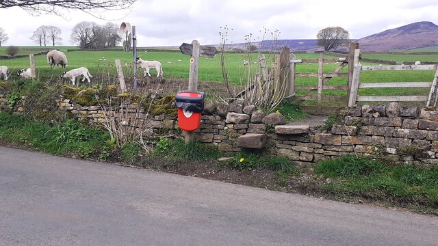
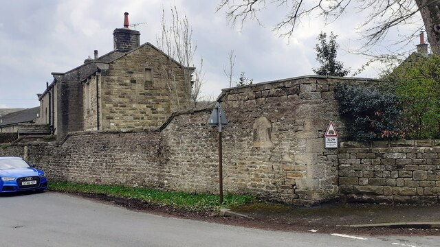
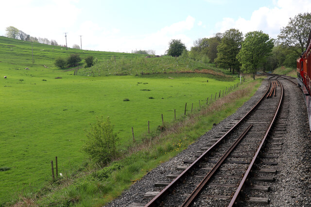
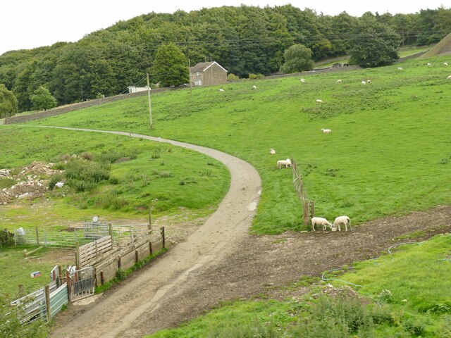
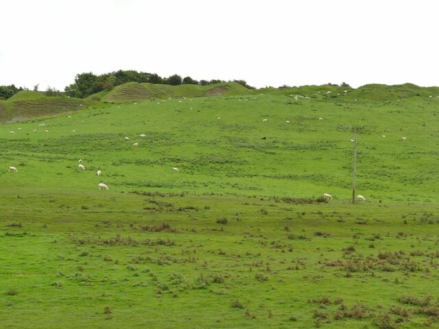
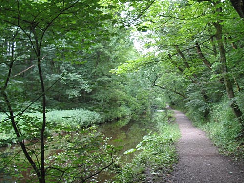
The landscape surrounding Park Hill is characterized by rolling hills, picturesque valleys, and lush green meadows. The hill itself is covered in a variety of vegetation, including grasses, heather, and scattered trees, providing a beautiful and diverse natural environment.
The summit of Park Hill offers breathtaking panoramic views of the surrounding countryside, with vistas extending as far as the eye can see. On clear days, visitors can admire the sprawling moorlands, charming villages, and distant mountain ranges that dot the horizon.
Park Hill is a popular destination for outdoor enthusiasts, offering a range of recreational activities such as hiking, mountain biking, and birdwatching. The hill is intersected by an extensive network of well-maintained footpaths, allowing visitors to explore its diverse flora and fauna at their own pace.
For those interested in history, Park Hill possesses an ancient burial mound near its summit. This archaeological feature is believed to date back to the Bronze Age, providing a glimpse into the rich historical heritage of the area.
Overall, Park Hill in Yorkshire is a captivating natural landmark, offering visitors a chance to immerse themselves in the beauty of the region's countryside while enjoying a variety of outdoor activities.
If you have any feedback on the listing, please let us know in the comments section below.
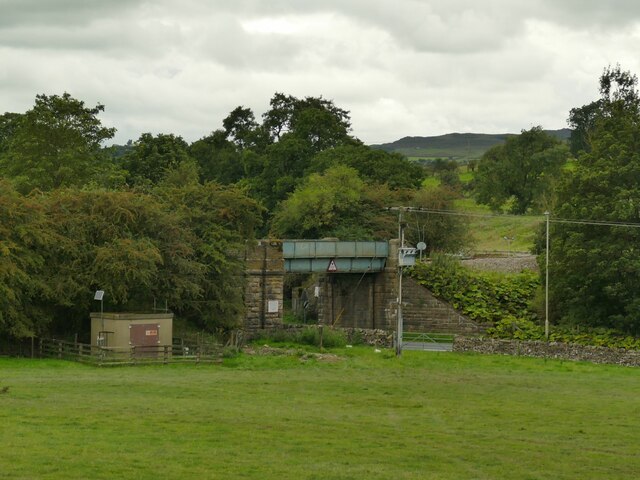
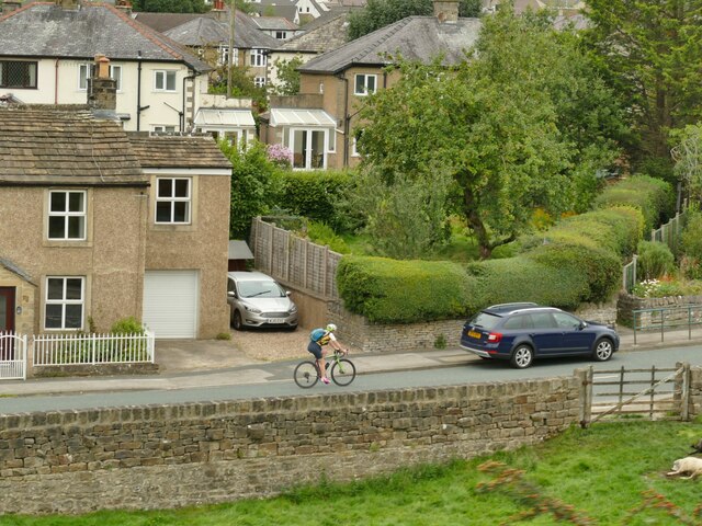
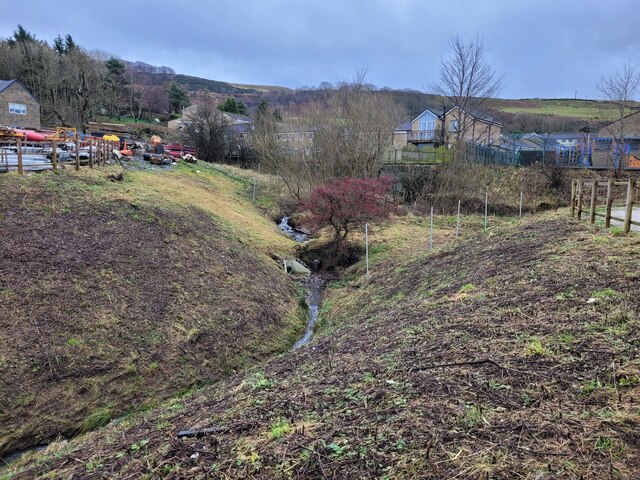
Park Hill Images
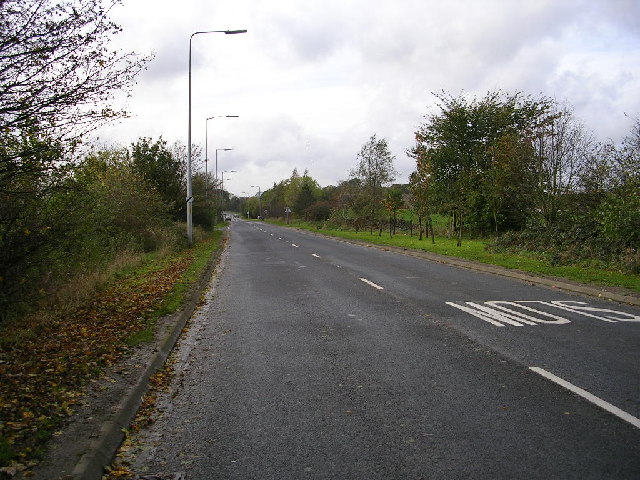
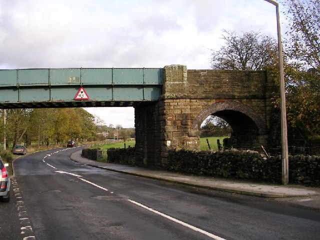
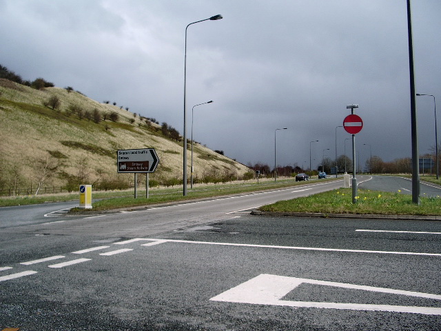
Images are sourced within 2km of 53.96771/-2.020512 or Grid Reference SD9852. Thanks to Geograph Open Source API. All images are credited.


Park Hill is located at Grid Ref: SD9852 (Lat: 53.96771, Lng: -2.020512)
Division: West Riding
Administrative County: North Yorkshire
District: Craven
Police Authority: North Yorkshire
What 3 Words
///brick.geologist.conducted. Near Skipton, North Yorkshire
Nearby Locations
Related Wikis
Skipton Wood
Skipton Wood (also known as Skipton Castle Woods, Castle Wood or Springs Wood) is a 36-acre (15 ha) wood following the valley of Eller Beck to the north...
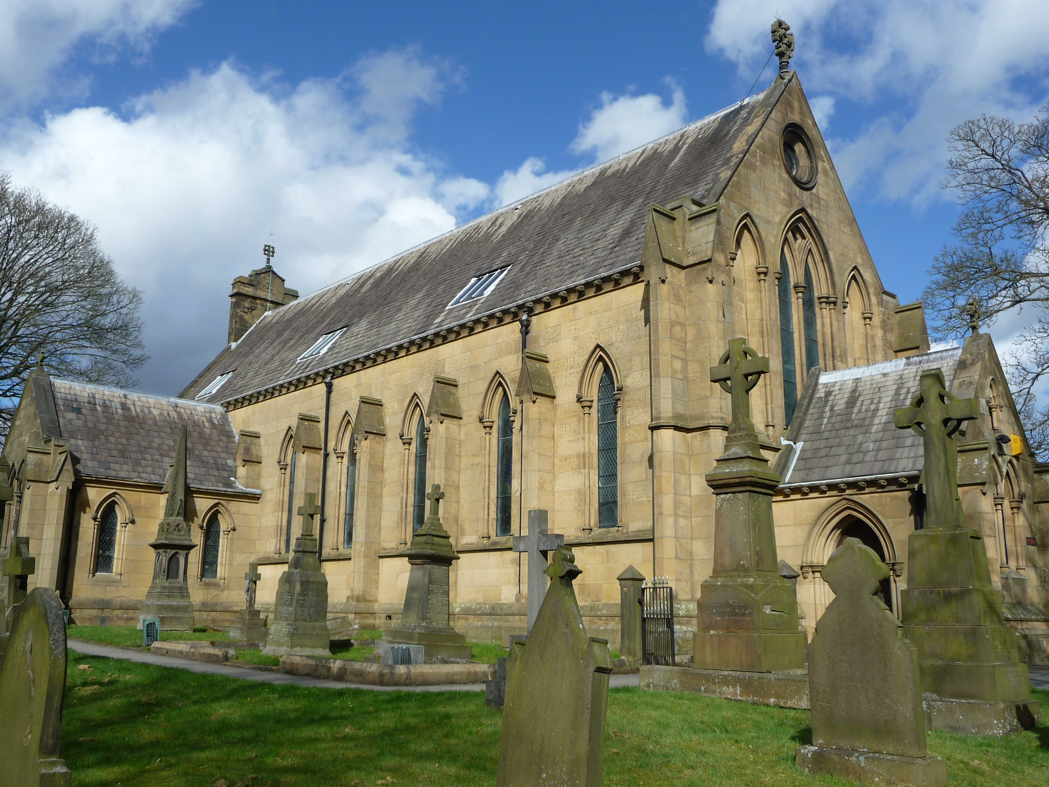
St Stephen's Church, Skipton
St Stephen's Church is a Roman Catholic Parish church in Skipton, North Yorkshire, England. It is situated next to Ermysted's Grammar School close to the...
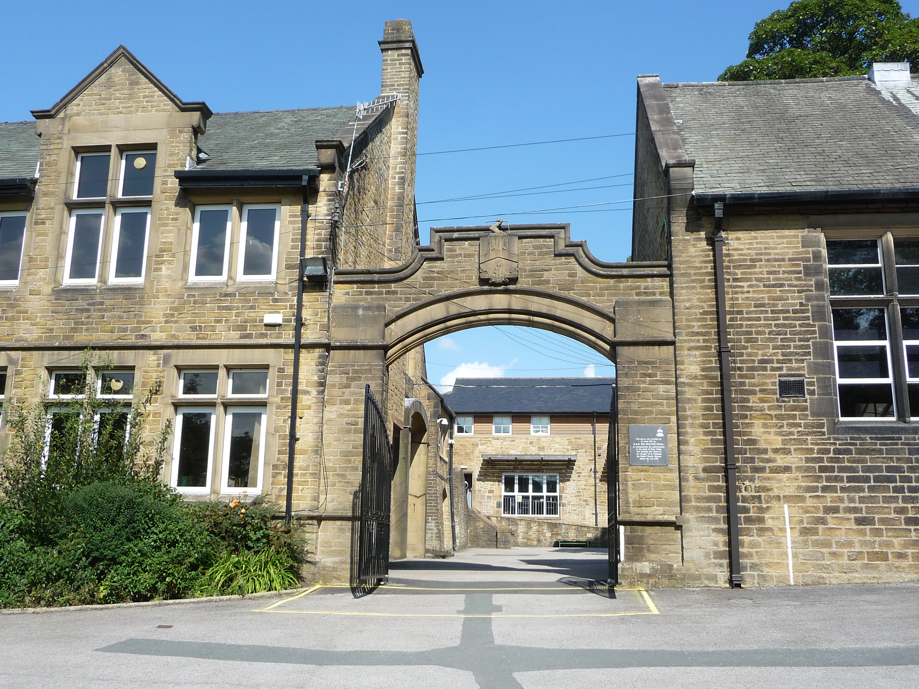
Ermysted's Grammar School
Ermysted's Grammar School is an 11-18 boys' voluntary aided grammar school in Skipton, North Yorkshire, England. It was founded by Peter Toller in the...
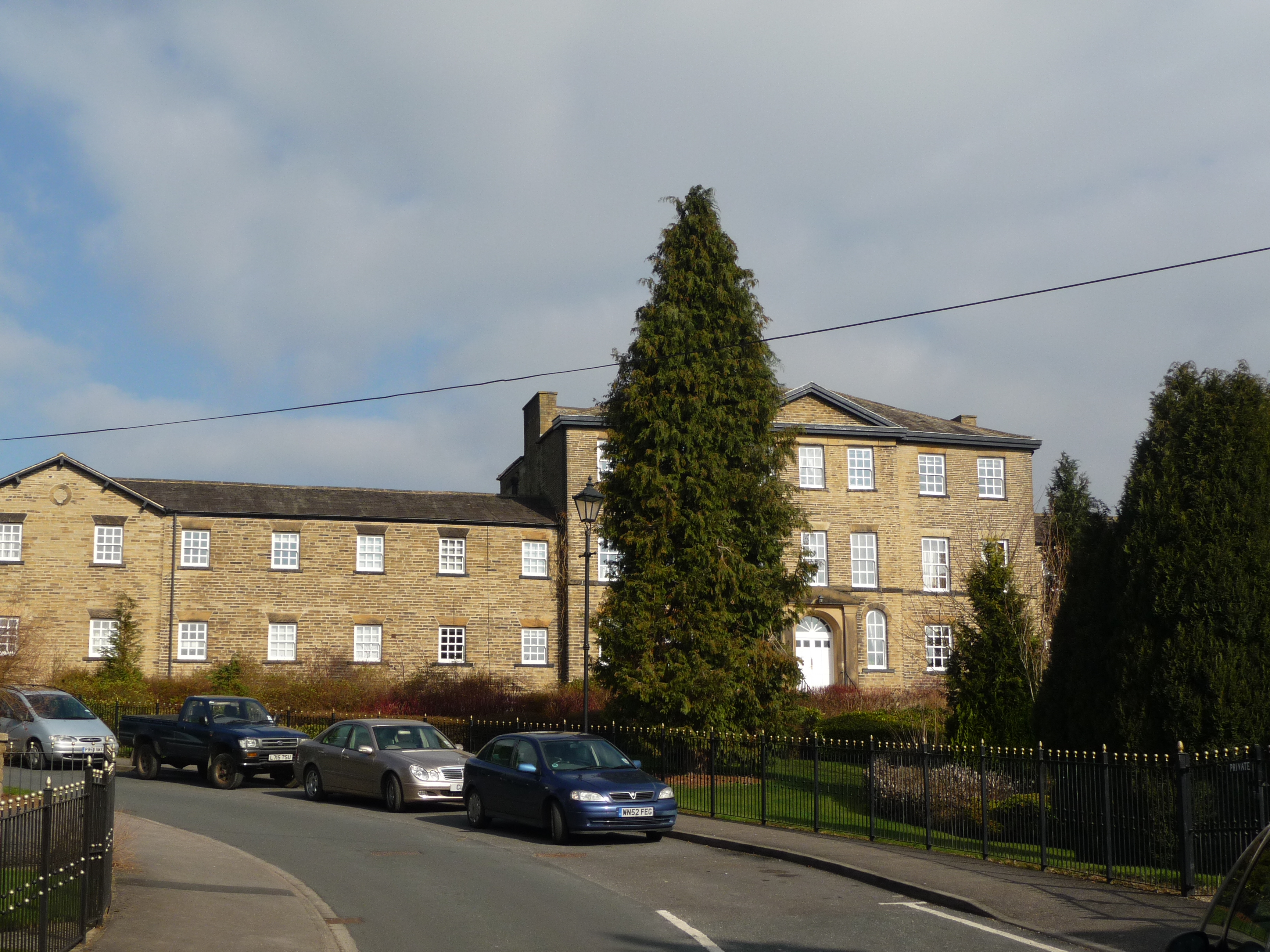
Raikeswood Hospital
Raikeswood Hospital was a health facility in Gargrave Road, Skipton, North Yorkshire, England. It has been converted for residential use and remains a...
Nearby Amenities
Located within 500m of 53.96771,-2.020512Have you been to Park Hill?
Leave your review of Park Hill below (or comments, questions and feedback).