Haggie Hill

Hill, Mountain in Durham

England

Haggie Hill

Wall and grassy track climbing out of valley The wall climbs to the north from the valley of the Blackton Beck.
The run of knolls on the skyline are known as Knotts.
Wall and grassy track climbing out of valley Credit: Trevor Littlewood

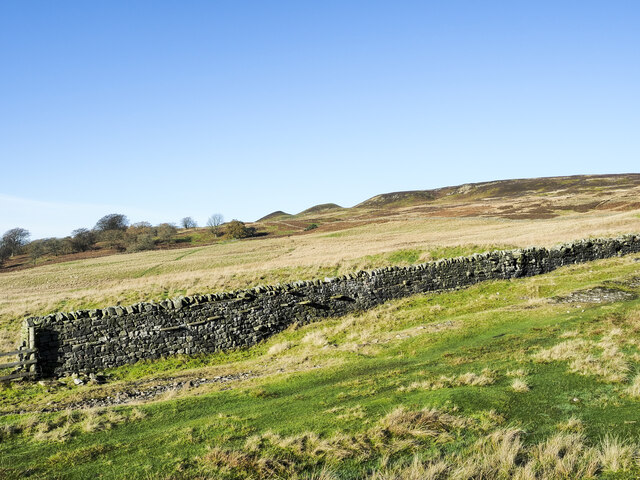
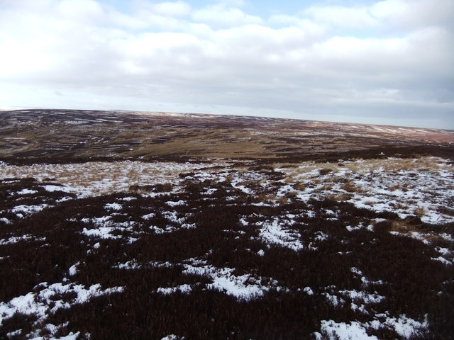
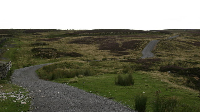
Haggie Hill, located in Durham, is a prominent geographical feature that stands as a testament to the region's diverse landscape. Rising to an elevation of approximately 1,200 feet, Haggie Hill is classified as a hill, although its steep slopes and rocky terrain give it the appearance of a small mountain.

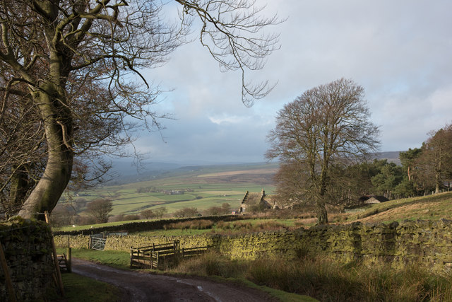
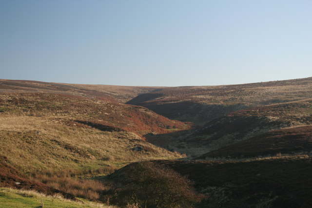
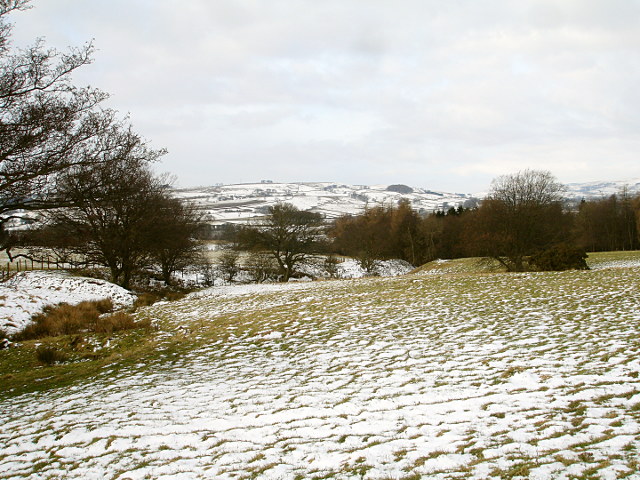
Situated amidst the rolling countryside of Durham, Haggie Hill offers awe-inspiring views of the surrounding landscape. Its summit provides a vantage point from which visitors can enjoy panoramic vistas of lush green valleys, meandering rivers, and picturesque farmland. On a clear day, it is even possible to catch a glimpse of the distant Durham Cathedral towering over the city.

The hill's terrain is rugged and can be challenging to navigate, making it a popular destination for outdoor enthusiasts and hikers seeking a moderate to strenuous climb. It is advisable for visitors to come prepared with appropriate footwear and clothing, as well as ample water and snacks for the duration of their hike.

Haggie Hill is also home to a variety of flora and fauna, with its slopes adorned with heather, gorse, and other wildflowers. The hill's rocky outcrops provide habitats for various bird species, including kestrels and buzzards, making it a haven for birdwatching enthusiasts.

Whether it be for a challenging hike, breathtaking views, or a chance to immerse oneself in nature, Haggie Hill offers a unique experience for those visiting Durham and seeking to explore its diverse landscapes.

If you have any feedback on the listing, please let us know in the comments section below.
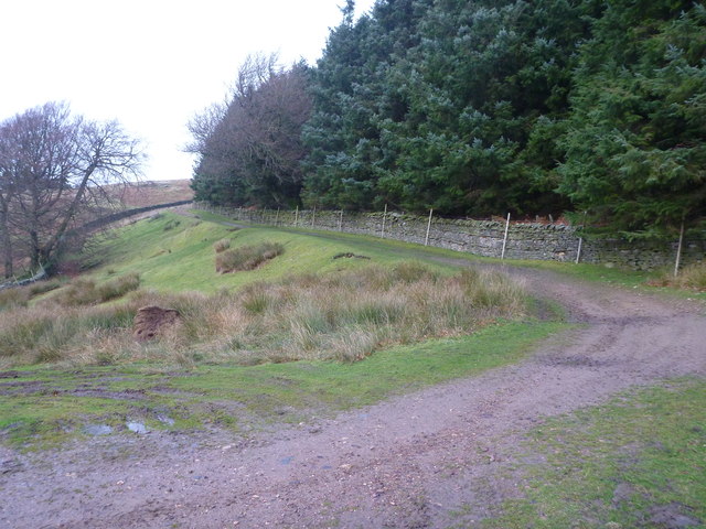
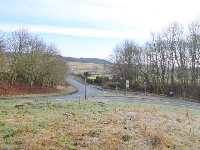
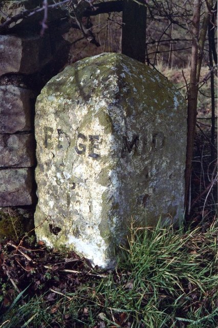
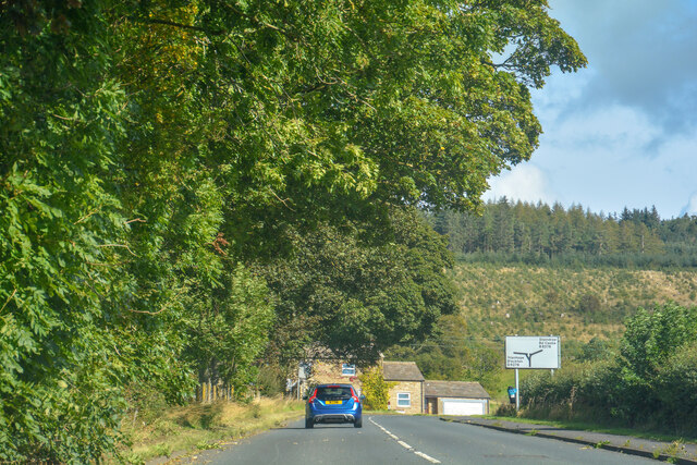
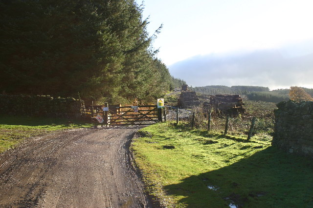
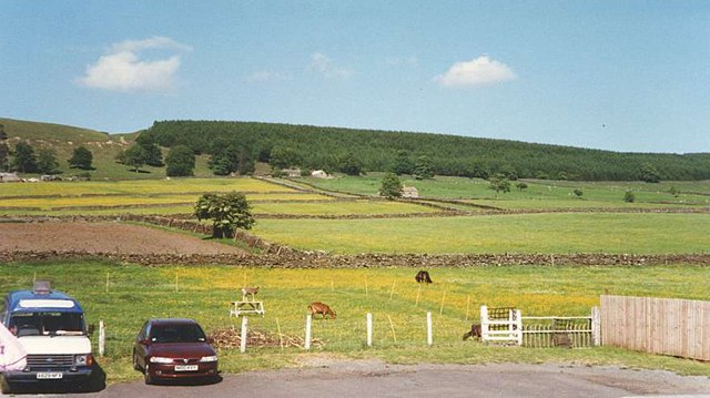
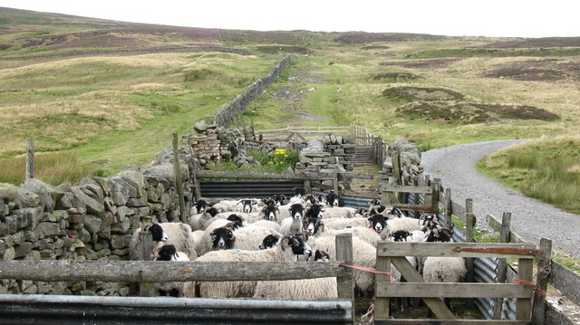
Haggie Hill Images

Images are sourced within 2km of 54.618411/-2.0207802 or Grid Reference NY9824. Thanks to Geograph Open Source API. All images are credited.

Wall and grassy track climbing out of valley The wall climbs to the north from the valley of the Blackton Beck.
The run of knolls on the skyline are known as Knotts.
Wall and grassy track climbing out of valley
The wall climbs to the north from the valley of the Blackton Beck. The run of knolls on the skyline are known as Knotts.
Nemour Hall Nemour Hall appears in this image as a fairly modest house with a barn attached at the rear; it is in fact revealed to be a quite large building once the front comes into view.
Nemour Hall
Nemour Hall appears in this image as a fairly modest house with a barn attached at the rear; it is in fact revealed to be a quite large building once the front comes into view.
Junction of B classified roads outside Eggleston The B6282 and the B6278 meet just east of the County Durham village of Eggleston. The blue and yellow road sign is characteristic of a style of signage introduced by County Durham some years ago.
Junction of B classified roads outside Eggleston
The B6282 and the B6278 meet just east of the County Durham village of Eggleston. The blue and yellow road sign is characteristic of a style of signage introduced by County Durham some years ago.
Bleak moorland above Blackton Head
Frozen track on Nemour Hill
Track to Grey Carrs Taken from just beyond the end of the public road, at the point where a rather esoteric public footpath turns south west to end at a random point of no destination. The more useful public right of way is the bridleway which starts up this track up Nemour Hill, and breaks out onto the open fell to cross the southern slopes of Grey Carrs. Although, as a bridleway, one has every right to pursue this route on a bike, it is not particularly enjoyable, being deeply rutted, boggy or deep in heather in various stages of the crossing.
Track to Grey Carrs
Taken from just beyond the end of the public road, at the point where a rather esoteric public footpath turns south west to end at a random point of no destination. The more useful public right of way is the bridleway which starts up this track up Nemour Hill, and breaks out onto the open fell to cross the southern slopes of Grey Carrs. Although, as a bridleway, one has every right to pursue this route on a bike, it is not particularly enjoyable, being deeply rutted, boggy or deep in heather in various stages of the crossing.
Nemour Hall The unusually named Nemour Hall is seen beyond the tree, right of centre; it lies above fields overlooking the village of Eggleston.
Nemour Hall
The unusually named Nemour Hall is seen beyond the tree, right of centre; it lies above fields overlooking the village of Eggleston.
Road junction at Eggleston To the left and away from the camera the B6282 Middleton to Copley road; to the right the B6281 which crosses the Tees to Mickleton. See also <a href="https://www.geograph.org.uk/photo/1341467">NZ0023 : Road junction, Eggleston</a> for a view of another junction a short way to the north.
Road junction at Eggleston
To the left and away from the camera the B6282 Middleton to Copley road; to the right the B6281 which crosses the Tees to Mickleton. See also NZ0023 : Road junction, Eggleston for a view of another junction a short way to the north.
Old Milestone by the B6282, Eggleston Carved stone post by the B6282, in parish of EGGLESTON (TEESDALE District), 50m East of Stobgreen Sike, under hedge, opposite brown sign for Eggleston Gardens, on North side of road. Edge stone, erected by the Eggleston Coal Road turnpike trust in the 19th century. 

Inscription reads:-
: EDGE / 5½ : : MIDN / 4 :  

Grade II Listed. List Entry Number:1121633
<span class="nowrap"><a title="https://historicengland.org.uk/listing/the-list/list-entry/1121633" rel="nofollow ugc noopener" href="https://historicengland.org.uk/listing/the-list/list-entry/1121633">Link</a><img style="margin-left:2px;" alt="External link" title="External link - shift click to open in new window" src="https://s1.geograph.org.uk/img/external.png" width="10" height="10"/></span>

Milestone Society National ID: DU_MTEG04.
Old Milestone by the B6282, Eggleston
Carved stone post by the B6282, in parish of EGGLESTON (TEESDALE District), 50m East of Stobgreen Sike, under hedge, opposite brown sign for Eggleston Gardens, on North side of road. Edge stone, erected by the Eggleston Coal Road turnpike trust in the 19th century. Inscription reads:- : EDGE / 5½ : : MIDN / 4 : Grade II Listed. List Entry Number:1121633 LinkExternal link Milestone Society National ID: DU_MTEG04.
Eggleston : Moor Lane B6282 Looking along Moor Lane.
Eggleston : Moor Lane B6282
Looking along Moor Lane.
Eggleston : Moor Lane B6282 Looking along the B6282.
Eggleston : Moor Lane B6282
Looking along the B6282.
Stobgreen plantation Looking SE from position
Stobgreen plantation
Looking SE from position
Middle Nemour and Stobgreen Plantation
Sheep Pens above Eggleston Sheep in pens close to Blackton Beck on the moor above Eggleston.
Sheep Pens above Eggleston
Sheep in pens close to Blackton Beck on the moor above Eggleston.
The way to Hamsterley Bridleway across the moors leading to Hamsterley.  This section is well surfaced, probably for the benefit of grouse shooting parties.
The way to Hamsterley
Bridleway across the moors leading to Hamsterley. This section is well surfaced, probably for the benefit of grouse shooting parties.
Blackton Beck View looking up Blackton Beck towards Blackton Head on Eggleston Common.
Blackton Beck
View looking up Blackton Beck towards Blackton Head on Eggleston Common.
Hell Beck Looking from the West Barnley track, the stream on the left of the photo looks the bigger, but, in fact, it rises from a spring just a short distance left of the photographer. The main tributary is to the right, in a V-shaped valley behind the hawthorns. At the confluence, these streams form Hell Beck, which soon flows into woods to merge with Nab Gill, before the combined waters flow into the River Tees just downstream from Eggleston Bridge.
Hell Beck
Looking from the West Barnley track, the stream on the left of the photo looks the bigger, but, in fact, it rises from a spring just a short distance left of the photographer. The main tributary is to the right, in a V-shaped valley behind the hawthorns. At the confluence, these streams form Hell Beck, which soon flows into woods to merge with Nab Gill, before the combined waters flow into the River Tees just downstream from Eggleston Bridge.
Road Junction near Eggleston This photograph shows a view of the junction between the B6282 road (from where the picture was taken) and the B6281 road to Mickleton (going off to the left). The picture was taken looking in a south-westerly direction towards Eggleston Hall.
Road Junction near Eggleston
This photograph shows a view of the junction between the B6282 road (from where the picture was taken) and the B6281 road to Mickleton (going off to the left). The picture was taken looking in a south-westerly direction towards Eggleston Hall.
Show me another place!

Haggie Hill is located at Grid Ref: NY9824 (Lat: 54.618411, Lng: -2.0207802)

Unitary Authority: County Durham

Police Authority: Durham

What 3 Words

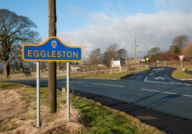
///turned.sheepish.paramedic. Near Eggleston, Co. Durham

Related Wikis

Egglesburn

Egglesburn is a village in County Durham, Northern England. It is in the Teesdale, Mickleton is on opposite bank of the River Tees. In the 1960s Durham...

Hill Top, Teesdale

Hill Top is a small village in County Durham, in England. It is situated to the north of Eggleston. == References ==

Eggleston Hall

Eggleston Hall is a privately owned 19th-century English country house in Eggleston, Teesdale, County Durham. It is a Grade II* listed building. ��2�...

Eggleston

Eggleston is a village in County Durham, in England. The population of the civil parish taken at the 2011 Census was 448. It is in the Teesdale, a few...
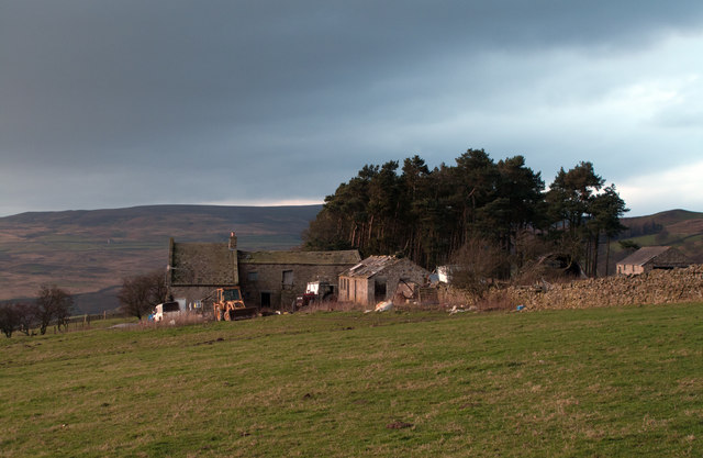
Nearby Amenities

Located within 500m of 54.618411,-2.0207802
Ford: yes
Image: https://www.geograph.org.uk/photo/2171249
Lat/Long: 54.6173749/-2.0165373
tumulus
Historic: archaeological_site
Source: OS 1:25k
Lat/Long: 54.6209383/-2.0265028
Hempstone Knoll
Natural: peak
Source: OS 1:25k
Lat/Long: 54.6226559/-2.0221296
Toft House
Addr City: Barnard Castle
Addr Postcode: DL12 0AZ
Place: farm
Source Name: OS_OpenData_StreetView
Source Postcode: CodePoint Open
Lat/Long: 54.6173719/-2.0190918
Ford: yes
Lat/Long: 54.6181268/-2.0180308
The data included in this document is from www.openstreetmap.org. The data is made available under ODbL.

Have you been to Haggie Hill?

Leave your review of Haggie Hill below (or comments, questions and feedback).