Egglesburn
Settlement in Durham
England
Egglesburn
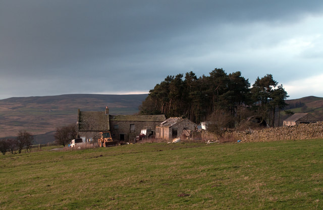
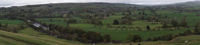
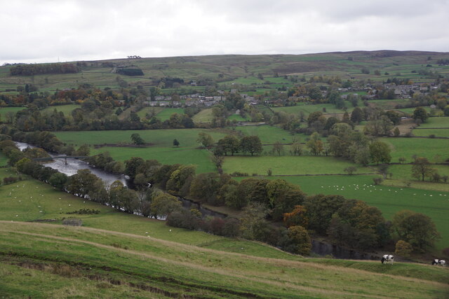
Egglesburn is a small village located in County Durham, in the northeast of England. Situated approximately 9 miles west of the town of Darlington, Egglesburn is nestled in the picturesque Teesdale countryside. The village is part of the civil parish of Gainford and lies near the River Tees.
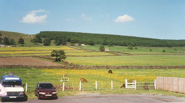
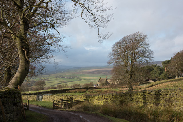
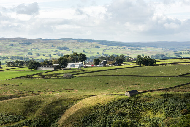
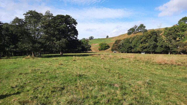
Egglesburn is known for its rural charm and tranquility, making it an attractive destination for those seeking a peaceful retreat. The area is characterized by rolling hills, lush green fields, and a variety of wildlife. The village itself is made up of a collection of traditional stone houses, giving it a timeless and rustic feel.
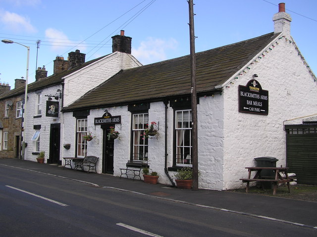
Although small in size, Egglesburn has a close-knit community with a strong sense of community spirit. The village is home to a local pub, which serves as a social hub, and a small church that holds regular services for residents.
For outdoor enthusiasts, Egglesburn offers easy access to a range of recreational activities. The surrounding countryside provides ample opportunities for walking, hiking, and cycling, with several scenic trails available. The nearby River Tees is also popular for fishing and boating.
While Egglesburn is primarily a residential area, it benefits from its proximity to larger towns and cities. The market town of Barnard Castle is approximately 12 miles away, offering a range of amenities including shops, restaurants, and schools. The cities of Durham and Newcastle can also be easily reached by car or public transport, providing residents with further options for work and leisure.
If you have any feedback on the listing, please let us know in the comments section below.
Egglesburn Images
Images are sourced within 2km of 54.615621/-2.028226 or Grid Reference NY9824. Thanks to Geograph Open Source API. All images are credited.


Egglesburn is located at Grid Ref: NY9824 (Lat: 54.615621, Lng: -2.028226)
Unitary Authority: County Durham
Police Authority: Durham
What 3 Words
///overused.racked.beaks. Near Mickleton, Co. Durham
Nearby Locations
Related Wikis

Egglesburn
Egglesburn is a village in County Durham, Northern England. It is in the Teesdale, Mickleton is on opposite bank of the River Tees. In the 1960s Durham...

Hill Top, Teesdale
Hill Top is a small village in County Durham, in England. It is situated to the north of Eggleston. == References ==

Eggleston Hall
Eggleston Hall is a privately owned 19th-century English country house in Eggleston, Teesdale, County Durham. It is a Grade II* listed building. ��2�...

Eggleston
Eggleston is a village in County Durham, in England. The population of the civil parish taken at the 2011 Census was 448. It is in the Teesdale, a few...
Mickleton railway station
Mickleton railway station was situated on the Tees Valley Railway between Barnard Castle and Middleton-in-Teesdale. It served the village of Mickleton...
Mickleton, County Durham
Mickleton is a village and civil parish in Teesdale, County Durham, England, situated 8.5 miles (13.7 km) north west of Barnard Castle. Lying within the...

Romaldkirk railway station
Romaldkirk railway station was situated on the Tees Valley Railway between Barnard Castle and Middleton-in-Teesdale. It served the village of Romaldkirk...

Romaldkirk
Romaldkirk is a village in Teesdale, in the Pennines of England. The village lies within the historic boundaries of the North Riding of Yorkshire, but...
Nearby Amenities
Located within 500m of 54.615621,-2.028226Have you been to Egglesburn?
Leave your review of Egglesburn below (or comments, questions and feedback).