Egglescliffe
Settlement in Durham
England
Egglescliffe

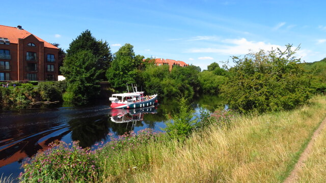
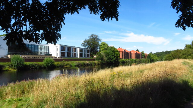
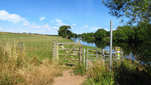
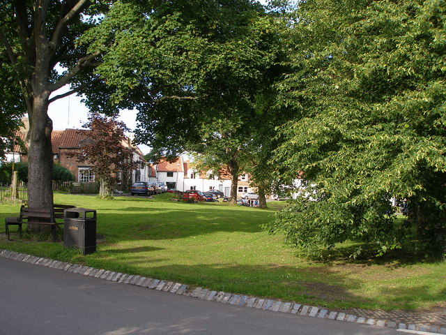
Egglescliffe is a small village located in County Durham, North East England. Situated on the southern bank of the River Tees, it forms part of the borough of Stockton-on-Tees. The village is nestled between the larger towns of Stockton-on-Tees and Yarm, enjoying a picturesque setting with beautiful countryside surroundings.
Historically, Egglescliffe has been inhabited for centuries, with evidence of Roman and Viking presence in the area. The village itself features a mix of architectural styles, ranging from charming cottages to more modern houses. The heart of the village is home to the 12th-century church of St. John the Baptist, which adds a touch of historical charm to the area.
Despite its small size, Egglescliffe offers a range of amenities and services to its residents. The village has a primary school, providing education for local children, and a community centre that hosts various events and activities. Additionally, there are a few local businesses, including a village shop, a post office, and a pub, offering convenience to the residents.
Egglescliffe benefits from its proximity to the nearby towns, where additional amenities, shopping centers, and recreational facilities can be easily accessed. The village is well-connected to the surrounding areas via road and public transport, making it a desirable location for those seeking a peaceful and rural lifestyle, while still having access to urban amenities.
Overall, Egglescliffe is a charming and close-knit village, offering a tranquil and picturesque setting for its residents, with a sense of history and community.
If you have any feedback on the listing, please let us know in the comments section below.
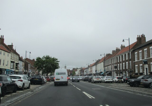
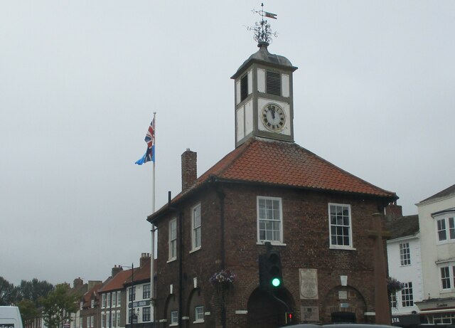
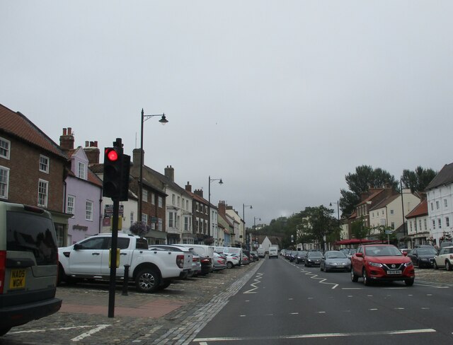
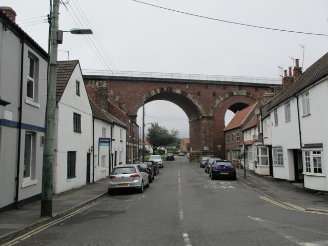
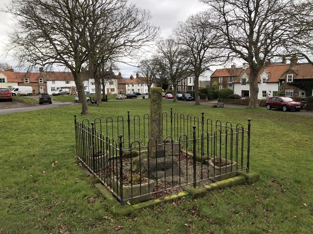
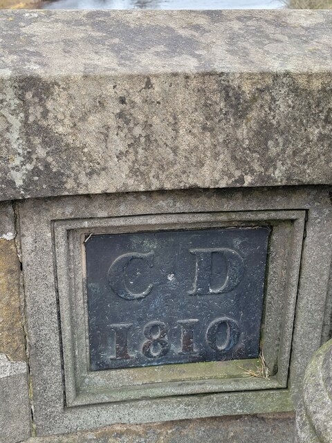
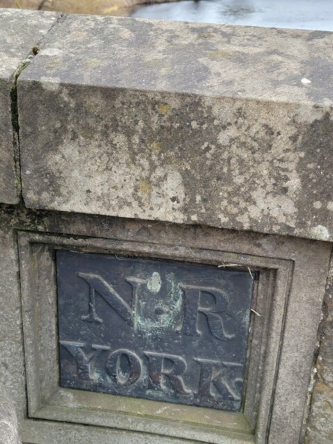
Egglescliffe Images
Images are sourced within 2km of 54.518308/-1.359842 or Grid Reference NZ4113. Thanks to Geograph Open Source API. All images are credited.


Egglescliffe is located at Grid Ref: NZ4113 (Lat: 54.518308, Lng: -1.359842)
Unitary Authority: Stockton-on-Tees
Police Authority: Cleveland
What 3 Words
///importing.galleries.chins. Near Eaglescliffe, Co. Durham
Nearby Locations
Related Wikis

Egglescliffe School
Egglescliffe School & Sixth Form College is a large Coeducational secondary school and sixth form located between Egglescliffe and Urlay Nook in the Borough...
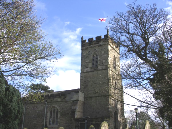
St John the Baptist, Egglescliffe
The parish church of St John the Baptist, Egglescliffe is an Anglican church in the village of Egglescliffe, Stockton-on-Tees. It is a perpendicular church...

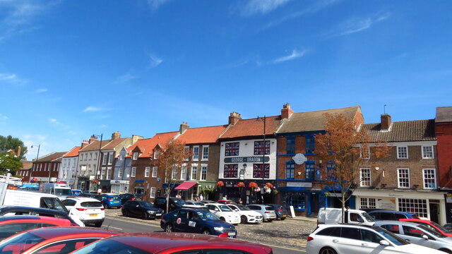
Eaglescliffe
Eaglescliffe is a village in the Borough of Stockton-on-Tees, County Durham, England. It is in the civil parish of Egglescliffe.The village was formerly...

Allens West railway station
Allens West is a railway station on the Tees Valley Line, which runs between Bishop Auckland and Saltburn via Darlington. The station, situated 8 miles...
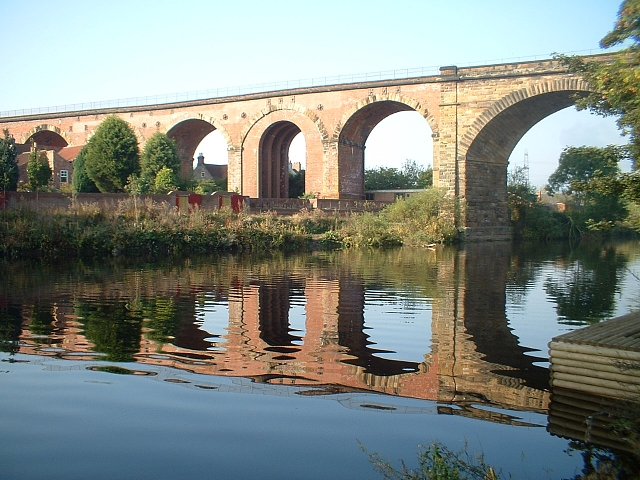
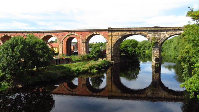
Yarm Viaduct
Yarm Viaduct is a railway viaduct carrying the railways above the town of Yarm in North Yorkshire, England. It crosses the River Tees which forms the boundary...
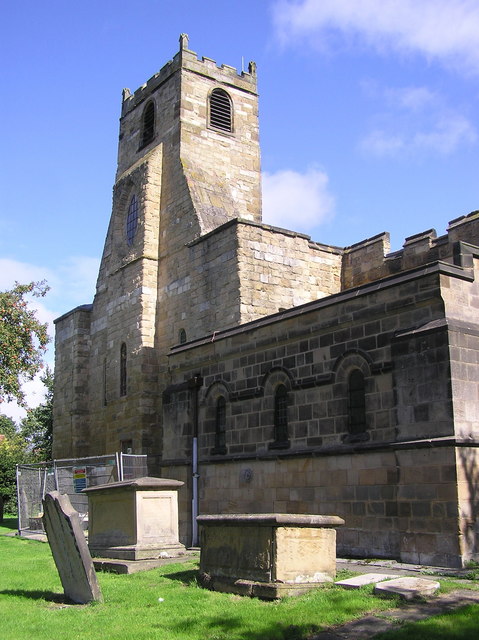
St Mary Magdalene, Yarm
St Mary Magdalene is a Church of England parish church in the town of Yarm, in the Borough of Stockton-on-Tees, North Yorkshire, England, which is dedicated...
Egglescliffe
Egglescliffe is a village and civil parish in County Durham, England. Administratively it is located in the borough of Stockton-on-Tees.The civil parish...

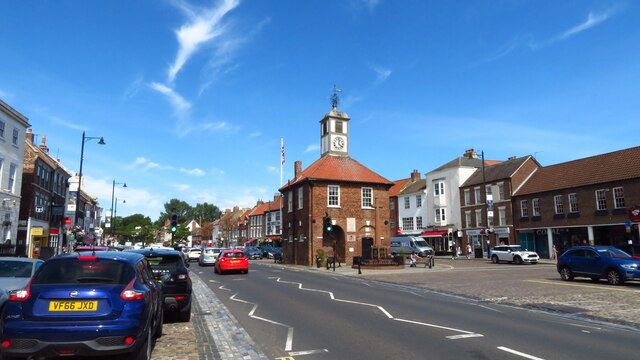
Yarm Town Hall
Yarm Town Hall is a municipal building in the High Street in Yarm, North Yorkshire, England. The structure, which is the meeting place of Yarm Town Council...
Nearby Amenities
Located within 500m of 54.518308,-1.359842Have you been to Egglescliffe?
Leave your review of Egglescliffe below (or comments, questions and feedback).