Eggleston

Settlement in Durham

England

Eggleston

Tractor on moorland of Grey Carrs The tractor is part of a heather burning operation on the heather moorland, part of the management scheme for grouse shooting. Tractors are used to mow 'lanes' around areas of heather to be burned, those lanes then act as firebreaks to contain the blaze. The tractor very likely has doubled wheels at the rear to spread its load on delicate ground.
Tractor on moorland of Grey Carrs Credit: Trevor Littlewood

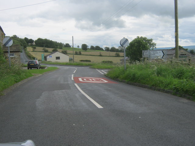
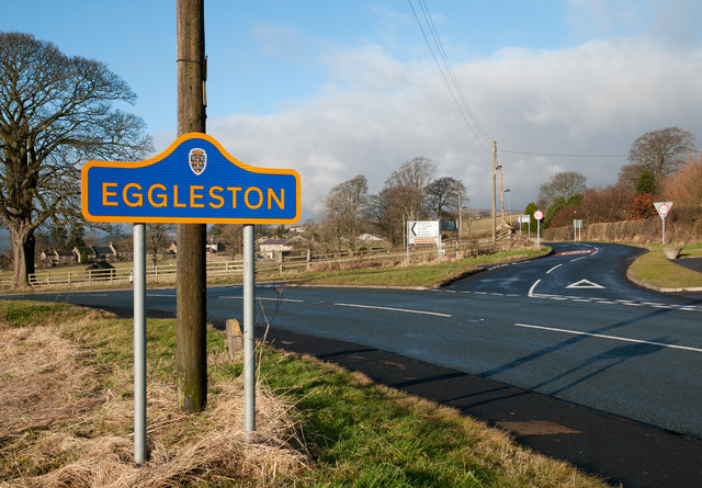
Eggleston is a small village located in County Durham, England. Situated in the picturesque Teesdale area, it lies approximately 6 miles west of the market town of Barnard Castle. Nestled in the North Pennines Area of Outstanding Natural Beauty, Eggleston offers residents and visitors a tranquil and scenic environment.

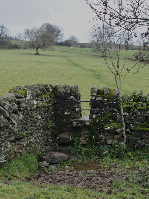
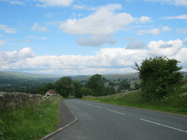
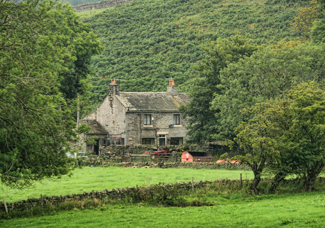
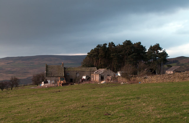
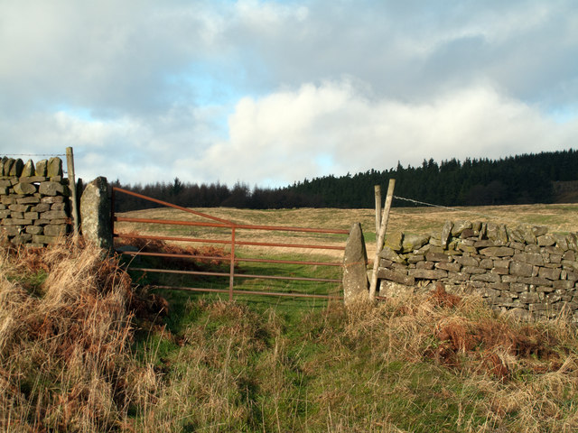
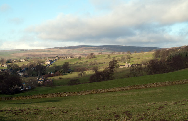
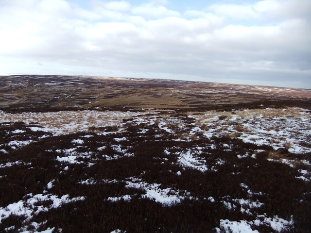
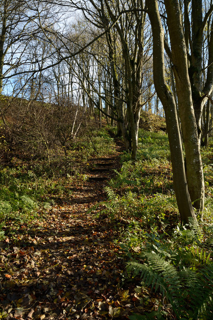
The village is characterized by its charming stone houses, many of which date back to the 18th and 19th centuries. The surrounding countryside boasts rolling hills, green meadows, and stunning views of the River Tees, providing ample opportunities for outdoor activities such as hiking, cycling, and fishing.

Eggleston is home to a close-knit community, with a population of around 200 people. It has a primary school, making it an attractive place for families seeking a peaceful rural lifestyle. The village also has a village hall, which hosts various community events throughout the year, fostering a strong sense of community spirit.

For those seeking cultural experiences, the nearby town of Barnard Castle offers a range of amenities, including shops, restaurants, and historical attractions such as Barnard Castle itself, a medieval fortress. Additionally, the Bowes Museum, known for its impressive art collection, is just a short drive away.

Overall, Eggleston is a charming village that offers a peaceful and idyllic setting in the heart of the Teesdale countryside, while still providing easy access to nearby towns and cultural attractions.

If you have any feedback on the listing, please let us know in the comments section below.
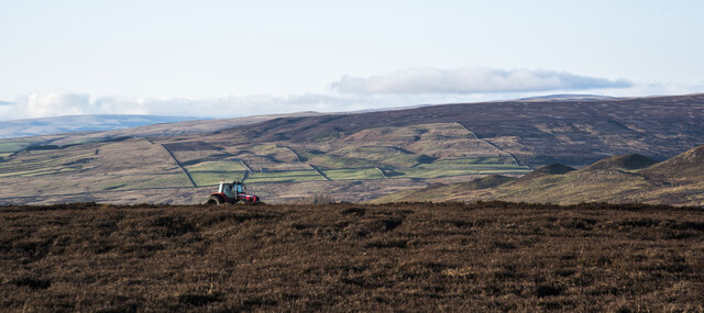
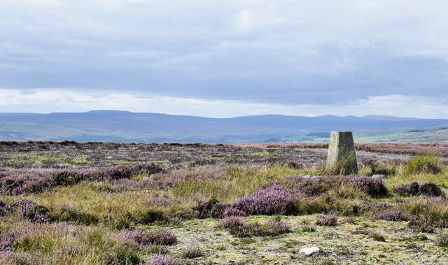
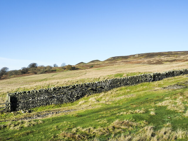
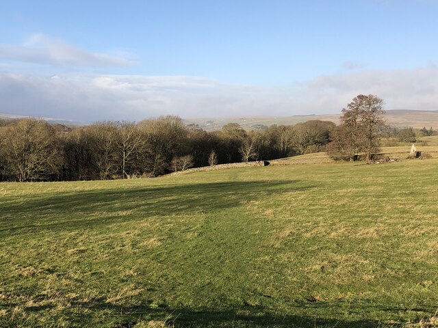
Eggleston Images

Images are sourced within 2km of 54.610513/-2.002228 or Grid Reference NY9923. Thanks to Geograph Open Source API. All images are credited.

Tractor on moorland of Grey Carrs The tractor is part of a heather burning operation on the heather moorland, part of the management scheme for grouse shooting. Tractors are used to mow 'lanes' around areas of heather to be burned, those lanes then act as firebreaks to contain the blaze. The tractor very likely has doubled wheels at the rear to spread its load on delicate ground.
Tractor on moorland of Grey Carrs
The tractor is part of a heather burning operation on the heather moorland, part of the management scheme for grouse shooting. Tractors are used to mow 'lanes' around areas of heather to be burned, those lanes then act as firebreaks to contain the blaze. The tractor very likely has doubled wheels at the rear to spread its load on delicate ground.
Summit area of Grey Carrs - 2 The flat, sparsely vegetated summit area of Grey Carrs looking west towards Teesdale and beyond.
The highest hills of the Pennines from Mickle Fell to Cross Fell line the horizon.
Summit area of Grey Carrs - 2
The flat, sparsely vegetated summit area of Grey Carrs looking west towards Teesdale and beyond. The highest hills of the Pennines from Mickle Fell to Cross Fell line the horizon.
Wall and grassy track climbing out of valley The wall climbs to the north from the valley of the Blackton Beck.
The run of knolls on the skyline are known as Knotts.
Wall and grassy track climbing out of valley
The wall climbs to the north from the valley of the Blackton Beck. The run of knolls on the skyline are known as Knotts.
Course of the Teesdale Way near Barnley
Stile Struggles: Cornered by an Impassable Quagmire
Folly Bank on the B6278 viewed from the viewpoint near the top
Bracken Heads Bracken Heads on Barnard Castle Allotments.
Bracken Heads
Bracken Heads on Barnard Castle Allotments.
Folly House Folly House Farm.
Folly House
Folly House Farm.
B6278 The B6278 near Folly Head.
B6278
The B6278 near Folly Head.
Nemour Hall Nemour Hall appears in this image as a fairly modest house with a barn attached at the rear; it is in fact revealed to be a quite large building once the front comes into view.
Nemour Hall
Nemour Hall appears in this image as a fairly modest house with a barn attached at the rear; it is in fact revealed to be a quite large building once the front comes into view.
Slope rising to Stobgreen Plantation Stobgreen Plantation as seen on a rising slope through a gateway on the north side of the B6282
Slope rising to Stobgreen Plantation
Stobgreen Plantation as seen on a rising slope through a gateway on the north side of the B6282
Fields above B6278 near Eggleston Eggleston with the B6278 can be seen at the left side of the image; the fields lie above the road on its north side. The distant high ground rises to Monk's Moor.
Fields above B6278 near Eggleston
Eggleston with the B6278 can be seen at the left side of the image; the fields lie above the road on its north side. The distant high ground rises to Monk's Moor.
The B6278 road joining the B6282 road at Eggleston
Junction of B classified roads outside Eggleston The B6282 and the B6278 meet just east of the County Durham village of Eggleston. The blue and yellow road sign is characteristic of a style of signage introduced by County Durham some years ago.
Junction of B classified roads outside Eggleston
The B6282 and the B6278 meet just east of the County Durham village of Eggleston. The blue and yellow road sign is characteristic of a style of signage introduced by County Durham some years ago.
Bleak moorland above Blackton Head
Track on Grey Carrs
Track on Grey Carrs
Frozen track on Nemour Hill
Teesdale Way rising through Great Wood The path rises obliquely across the slope on which Great Wood grows, the way being stepped with timbers retaining earth to ease passage and minimise erosion.
Teesdale Way rising through Great Wood
The path rises obliquely across the slope on which Great Wood grows, the way being stepped with timbers retaining earth to ease passage and minimise erosion.
Show me another place!

Eggleston is located at Grid Ref: NY9923 (Lat: 54.610513, Lng: -2.002228)

Unitary Authority: County Durham

Police Authority: Durham

What 3 Words

///fits.king.lightens. Near Eggleston, Co. Durham

Related Wikis

Eggleston Hall

Eggleston Hall is a privately owned 19th-century English country house in Eggleston, Teesdale, County Durham. It is a Grade II* listed building. ��2�...

Hill Top, Teesdale

Hill Top is a small village in County Durham, in England. It is situated to the north of Eggleston. == References ==

Egglesburn

Egglesburn is a village in County Durham, Northern England. It is in the Teesdale, Mickleton is on opposite bank of the River Tees. In the 1960s Durham...

Eggleston

Eggleston is a village in County Durham, in England. The population of the civil parish taken at the 2011 Census was 448. It is in the Teesdale, a few...

Romaldkirk

Romaldkirk is a village in Teesdale, in the Pennines of England. The village lies within the historic boundaries of the North Riding of Yorkshire, but...

Romaldkirk railway station

Romaldkirk railway station was situated on the Tees Valley Railway between Barnard Castle and Middleton-in-Teesdale. It served the village of Romaldkirk...

Crag Gill

Crag Gill is a Site of Special Scientific Interest in the Teesdale district in south-west County Durham, England. It lies about 3 km east of the village...

Shipley and Great Woods

Shipley and Great Woods is a Site of Special Scientific Interest in the Teesdale district of south-west County Durham, England. It occupies a steep ravine...

Nearby Amenities

Located within 500m of 54.610513,-2.002228
Eggleston
Place: village
Wikidata: Q2682690
Wikipedia: en:Eggleston
Lat/Long: 54.6082229/-2.0012552
Addr City: Barnard Castle
Addr Housename: The Coach House
Addr Place: Eggleston Hall
Addr Postcode: DL12 0AG
Addr Village: Eggleston
Disused Amenity: cafe
Old Name: Coach House Café
Operator: CCS Catering
Source Addr: FHRS Open Data
Lat/Long: 54.6063259/-2.0050405
Bus Stop
Three Tuns
Naptan AtcoCode: 13007820A
Naptan Bearing: N
Naptan CommonName: Three Tuns
Naptan Indicator: north bound
Naptan Landmark: Landmark not known
Naptan NaptanCode: durgagwg
Naptan Notes: Outside The Three Tuns Inn- Church Bank- Eggleston
Naptan Street: Street not known
Naptan Verified: no
Source: naptan_import
Lat/Long: 54.6099046/-2.0025256
Bus Stop
Three Tuns
Naptan AtcoCode: 13007820E
Naptan Bearing: S
Naptan CommonName: Three Tuns
Naptan Indicator: south bound
Naptan Landmark: Landmark not known
Naptan NaptanCode: durgagwj
Naptan Notes: Opposite The Three Tuns Inn (PH)- Church Bank- Eggleston
Naptan Street: Street not known
Naptan Verified: no
Source: naptan_import
Lat/Long: 54.6098999/-2.0024038
Pub
The Three Tuns
Addr City: Barnard Castle
Addr Postcode: DL12 0AH
Addr Street: Church Bank
Addr Village: Eggleston
Fhrs Id: 805402
Fixme: Extant? FHRS ID invalid
Source Addr: FHRS Open Data
Lat/Long: 54.6100598/-2.002738
Low Neamour
Place: farm
Source Name: OS OpenData StreetView
Lat/Long: 54.6147812/-2.0040393
Power: pole
Lat/Long: 54.6070435/-1.9984307
Power: pole
Lat/Long: 54.6075265/-1.9997986
Power: pole
Lat/Long: 54.6078612/-2.0007227
Post Box
Image: https://www.geograph.org.uk/photo/3658043
Post Box Type: pillar
Lat/Long: 54.6098432/-2.0024066
Toilets
Access: no
Lat/Long: 54.6063846/-2.0051846
Disused Shop: gift
Old Name: Coach House Gift Shop
Lat/Long: 54.6064328/-2.0053093
Power: pole
Transformer: distribution
Lat/Long: 54.6097952/-2.0096022
Power: pole
Lat/Long: 54.6089501/-2.004109
Power: pole
Lat/Long: 54.6090014/-2.0052959
Power: pole
Lat/Long: 54.6092546/-2.0063581
Power: pole
Lat/Long: 54.6094798/-2.0073384
Power: pole
Lat/Long: 54.6097198/-2.008359
Power: pole
Lat/Long: 54.6098387/-2.0096022
Leisure: playground
Lat/Long: 54.6110293/-2.0033433
The data included in this document is from www.openstreetmap.org. The data is made available under ODbL.

Have you been to Eggleston?

Leave your review of Eggleston below (or comments, questions and feedback).