Mark's Wood

Wood, Forest in Durham

England

Mark's Wood

Course of the Teesdale Way near Barnley
Course of the Teesdale Way near Barnley Credit: David Robinson

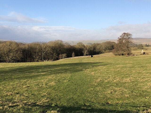
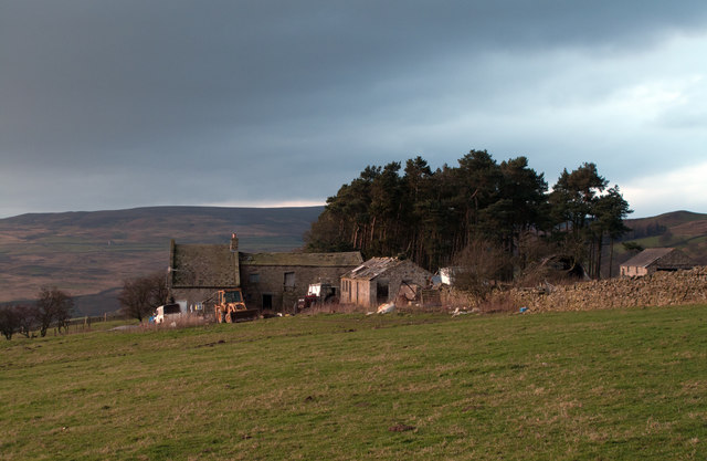
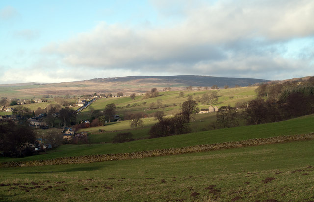
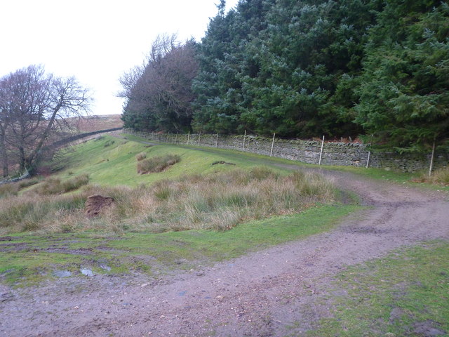
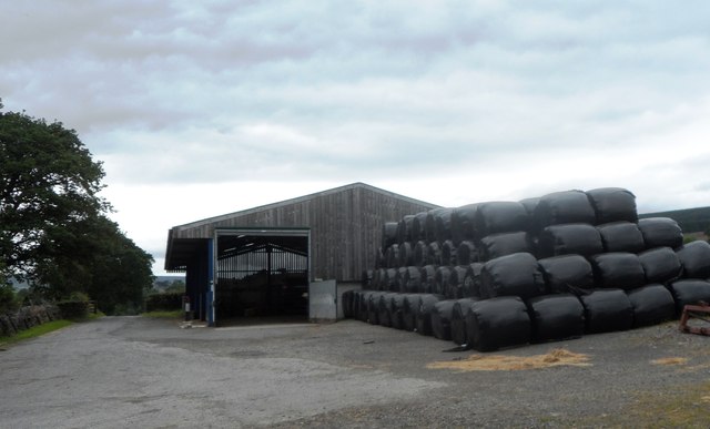
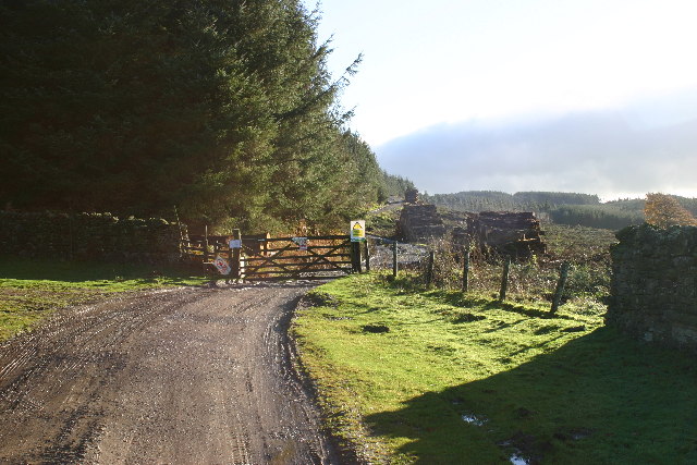
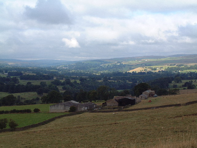
Mark's Wood is a picturesque forest located in Durham, England. Spread across an expansive area, it is a popular destination for nature enthusiasts and outdoor lovers. The wood is nestled within a rural landscape, offering a serene environment for visitors to immerse themselves in the beauty of nature.

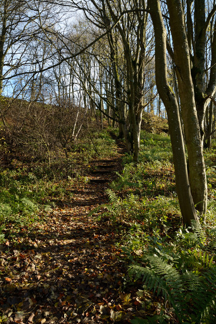
Mark's Wood is home to a diverse range of flora and fauna, making it an ideal spot for wildlife enthusiasts and birdwatchers. The forest boasts a variety of trees, including oak, beech, and birch, creating a vibrant and colorful canopy during the changing seasons. Bluebells, wildflowers, and ferns can be found carpeting the forest floor, adding to its natural beauty.

Visitors to Mark's Wood can explore its numerous walking trails and enjoy the tranquility of the surroundings. The paths wind through the forest, providing opportunities to observe wildlife, listen to the sounds of birds chirping, and breathe in the fresh, crisp air. The wood is also home to several species of birds, such as woodpeckers, owls, and thrushes, making it a prime location for birdwatching.

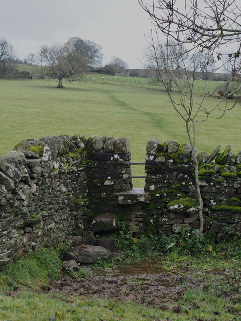
In addition to its natural beauty, Mark's Wood offers amenities for visitors to enjoy. There are picnic areas and benches strategically placed throughout the forest, allowing visitors to relax and take in the peaceful surroundings. The wood is well-maintained and accessible, making it suitable for people of all ages and abilities.

Overall, Mark's Wood is a gem in Durham, providing a tranquil escape from the hustle and bustle of daily life. With its diverse ecosystem, scenic walking trails, and abundant wildlife, it offers a truly immersive and unforgettable experience for nature enthusiasts.

If you have any feedback on the listing, please let us know in the comments section below.

Mark's Wood Images

Images are sourced within 2km of 54.606388/-2.0113615 or Grid Reference NY9923. Thanks to Geograph Open Source API. All images are credited.

Course of the Teesdale Way near Barnley
Stile Struggles: Cornered by an Impassable Quagmire
Folly Bank on the B6278 viewed from the viewpoint near the top
Folly House Folly House Farm.
Folly House
Folly House Farm.
B6278 The B6278 near Folly Head.
B6278
The B6278 near Folly Head.
Nemour Hall Nemour Hall appears in this image as a fairly modest house with a barn attached at the rear; it is in fact revealed to be a quite large building once the front comes into view.
Nemour Hall
Nemour Hall appears in this image as a fairly modest house with a barn attached at the rear; it is in fact revealed to be a quite large building once the front comes into view.
Fields above B6278 near Eggleston Eggleston with the B6278 can be seen at the left side of the image; the fields lie above the road on its north side. The distant high ground rises to Monk's Moor.
Fields above B6278 near Eggleston
Eggleston with the B6278 can be seen at the left side of the image; the fields lie above the road on its north side. The distant high ground rises to Monk's Moor.
The B6278 road joining the B6282 road at Eggleston
Junction of B classified roads outside Eggleston The B6282 and the B6278 meet just east of the County Durham village of Eggleston. The blue and yellow road sign is characteristic of a style of signage introduced by County Durham some years ago.
Junction of B classified roads outside Eggleston
The B6282 and the B6278 meet just east of the County Durham village of Eggleston. The blue and yellow road sign is characteristic of a style of signage introduced by County Durham some years ago.
Frozen track on Nemour Hill
Teesdale Way rising through Great Wood The path rises obliquely across the slope on which Great Wood grows, the way being stepped with timbers retaining earth to ease passage and minimise erosion.
Teesdale Way rising through Great Wood
The path rises obliquely across the slope on which Great Wood grows, the way being stepped with timbers retaining earth to ease passage and minimise erosion.
Track to Grey Carrs Taken from just beyond the end of the public road, at the point where a rather esoteric public footpath turns south west to end at a random point of no destination. The more useful public right of way is the bridleway which starts up this track up Nemour Hill, and breaks out onto the open fell to cross the southern slopes of Grey Carrs. Although, as a bridleway, one has every right to pursue this route on a bike, it is not particularly enjoyable, being deeply rutted, boggy or deep in heather in various stages of the crossing.
Track to Grey Carrs
Taken from just beyond the end of the public road, at the point where a rather esoteric public footpath turns south west to end at a random point of no destination. The more useful public right of way is the bridleway which starts up this track up Nemour Hill, and breaks out onto the open fell to cross the southern slopes of Grey Carrs. Although, as a bridleway, one has every right to pursue this route on a bike, it is not particularly enjoyable, being deeply rutted, boggy or deep in heather in various stages of the crossing.
Burial Ground at West Barnley Farm
East Barnley Farm
East Barnley Farm
Bullocks at West Barnley Farm
Agricultural Buildings at West Barnley Farm
Stobgreen plantation Looking SE from position
Stobgreen plantation
Looking SE from position
East Barnley Farm The view looking North towards East Barnley Farm and Eggleston, looking towards Middleton-in-Teesdale and the Tees Valley.
East Barnley Farm
The view looking North towards East Barnley Farm and Eggleston, looking towards Middleton-in-Teesdale and the Tees Valley.
Show me another place!

Mark's Wood is located at Grid Ref: NY9923 (Lat: 54.606388, Lng: -2.0113615)

Unitary Authority: County Durham

Police Authority: Durham

What 3 Words

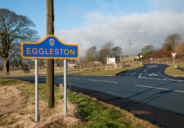
///cookbooks.dolly.channel. Near Eggleston, Co. Durham

Related Wikis

Eggleston Hall

Eggleston Hall is a privately owned 19th-century English country house in Eggleston, Teesdale, County Durham. It is a Grade II* listed building. ��2�...

Hill Top, Teesdale

Hill Top is a small village in County Durham, in England. It is situated to the north of Eggleston. == References ==

Eggleston

Eggleston is a village in County Durham, in England. The population of the civil parish taken at the 2011 Census was 448. It is in the Teesdale, a few...

Egglesburn

Egglesburn is a village in County Durham, Northern England. It is in the Teesdale, Mickleton is on opposite bank of the River Tees. In the 1960s Durham...

Romaldkirk

Romaldkirk is a village in Teesdale, in the Pennines of England. The village lies within the historic boundaries of the North Riding of Yorkshire, but...

Romaldkirk railway station

Romaldkirk railway station was situated on the Tees Valley Railway between Barnard Castle and Middleton-in-Teesdale. It served the village of Romaldkirk...

Hunderthwaite

Hunderthwaite is a village and civil parish in Teesdale, in the Pennines of England. The population of the civil parish taken at the 2011 census was 114...

Mickleton railway station

Mickleton railway station was situated on the Tees Valley Railway between Barnard Castle and Middleton-in-Teesdale. It served the village of Mickleton...

Nearby Amenities

Located within 500m of 54.606388,-2.0113615
Parking
Eggleston Hall parking
Access: customers
Parking: surface
Lat/Long: 54.6061878/-2.0054066
Addr City: Barnard Castle
Addr Housename: The Coach House
Addr Place: Eggleston Hall
Addr Postcode: DL12 0AG
Addr Village: Eggleston
Disused Amenity: cafe
Old Name: Coach House Café
Operator: CCS Catering
Source Addr: FHRS Open Data
Lat/Long: 54.6063259/-2.0050405
Teesdale
Alt Name: Teasdale
Description: Valley of the River Tees, one of the main rivers of County Durha.
Natural: valley
Lat/Long: 54.6047254/-2.0143941
Traffic Signals
Crossing: no
Traffic Signals Direction: forward
Lat/Long: 54.6042001/-2.0060741
Traffic Signals
Crossing: no
Traffic Signals Direction: backward
Lat/Long: 54.6041869/-2.0071899
Barrier: stile
Foot: yes
Lat/Long: 54.6037152/-2.0083789
Bicycle Parking
Lat/Long: 54.6063633/-2.0052994
Entrance: main
Lat/Long: 54.6063609/-2.005231
Denomination: anglican
Disused Amenity: place_of_worship
Old Name: Holy Trinity Church
Religion: christian
Ruined Building: church
Wikidata: Q26414790
Wikimedia Commons: File:The old church at Eggleston - geograph.org.uk - 1476519.jpg
Lat/Long: 54.6057943/-2.0049539
Toilets
Access: no
Lat/Long: 54.6063846/-2.0051846
Disused Shop: gift
Old Name: Coach House Gift Shop
Lat/Long: 54.6064328/-2.0053093
Power: pole
Lat/Long: 54.6099909/-2.0124815
Power: pole
Transformer: distribution
Lat/Long: 54.6097952/-2.0096022
Power: pole
Lat/Long: 54.6090014/-2.0052959
Power: pole
Lat/Long: 54.6092546/-2.0063581
Power: pole
Lat/Long: 54.6094798/-2.0073384
Power: pole
Lat/Long: 54.6097198/-2.008359
Power: pole
Lat/Long: 54.6098387/-2.0096022
Power: pole
Lat/Long: 54.6099529/-2.0108789
Power: pole
Lat/Long: 54.6096647/-2.0121771
Power: pole
Lat/Long: 54.609361/-2.0135504
Power: pole
Lat/Long: 54.6090868/-2.014803
Power: pole
Lat/Long: 54.6079264/-2.0155433
Power: pole
Lat/Long: 54.6073159/-2.0159188
Power: pole
Lat/Long: 54.6067194/-2.0163251
Power: pole
Lat/Long: 54.6060964/-2.0167302
Power: pole
Lat/Long: 54.6055154/-2.017103
Power: pole
Lat/Long: 54.6048831/-2.0174986
Power: pole
Lat/Long: 54.6043044/-2.0178849
The data included in this document is from www.openstreetmap.org. The data is made available under ODbL.

Have you been to Mark's Wood?

Leave your review of Mark's Wood below (or comments, questions and feedback).