Eggleston Bridge

Heritage Site in Durham

England

Eggleston Bridge

Course of the Teesdale Way near Barnley
Course of the Teesdale Way near Barnley Credit: David Robinson

Eggleston Bridge, located in Durham, England, is a historic structure that holds significant heritage value. Spanning across the River Tees, this stone bridge is a testament to the architectural prowess of its time. The bridge is situated in the picturesque village of Eggleston, nestled in the beautiful Teesdale countryside.

Built in the 17th century, Eggleston Bridge has witnessed centuries of history and remains a remarkable example of civil engineering. The bridge consists of a single arch, constructed with large stone blocks that have withstood the test of time. Its elegant design showcases the skill and craftsmanship of the period, making it a much-admired landmark.

Eggleston Bridge also holds cultural importance, serving as a vital link between Eggleston and the surrounding areas for centuries. It has facilitated travel and trade, connecting communities and enabling the transportation of goods. The bridge's significance is further enhanced by its association with local folklore and tales passed down through generations.

Today, Eggleston Bridge continues to be a functioning bridge, allowing vehicles and pedestrians to cross the River Tees. Its location in the heart of the Teesdale countryside provides visitors with stunning views of the surrounding landscape. The bridge has become a popular spot for photographers, artists, and nature enthusiasts, who appreciate its historical and aesthetic value.

Eggleston Bridge stands as a testament to the rich heritage of Durham, serving as a reminder of the region's architectural and cultural legacy. It remains an enduring symbol of community connectivity and a cherished landmark for both locals and visitors alike.

If you have any feedback on the listing, please let us know in the comments section below.

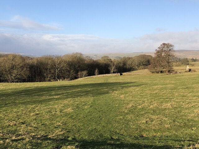
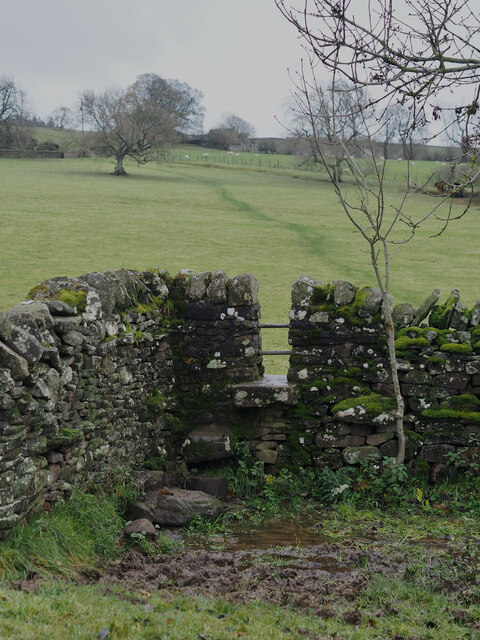
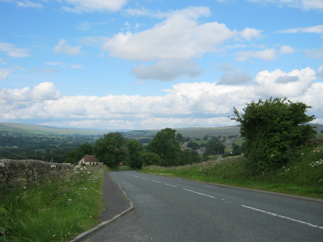
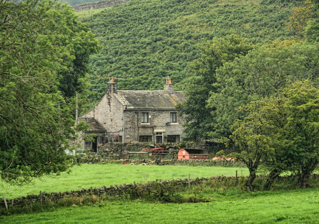
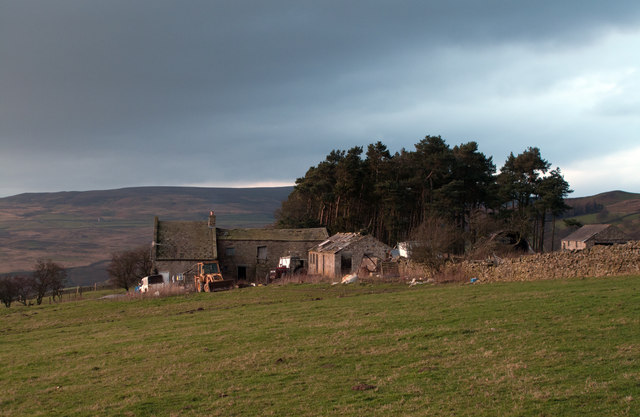
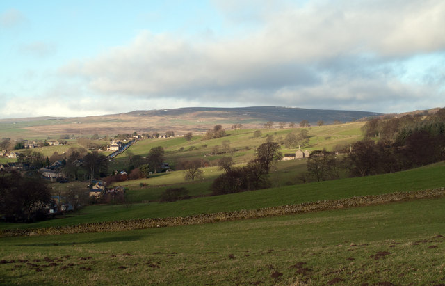
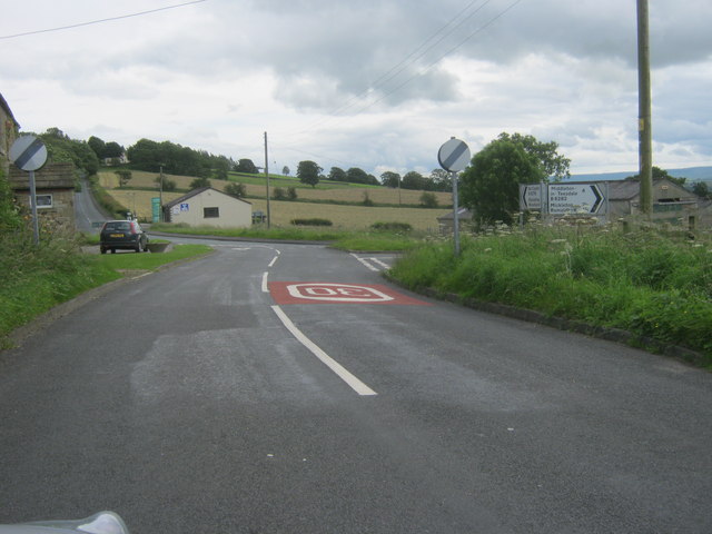
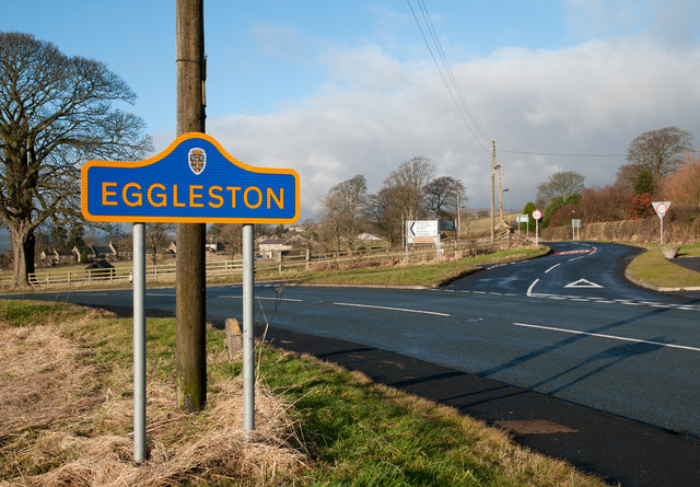
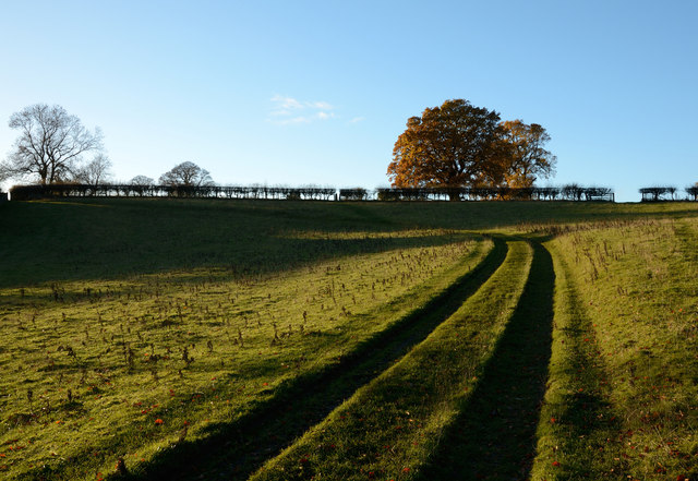
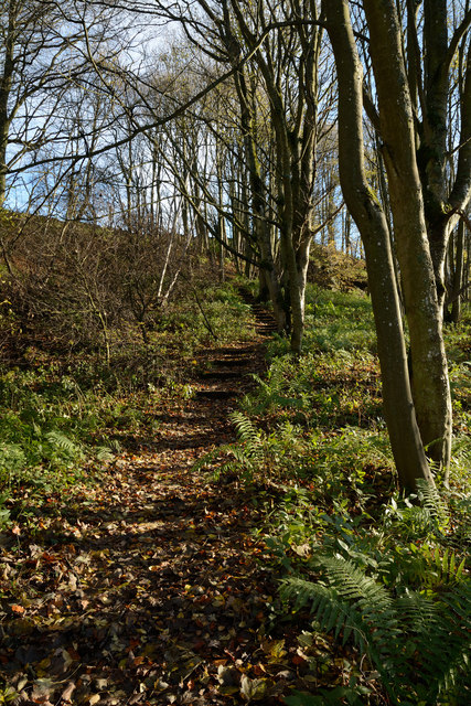
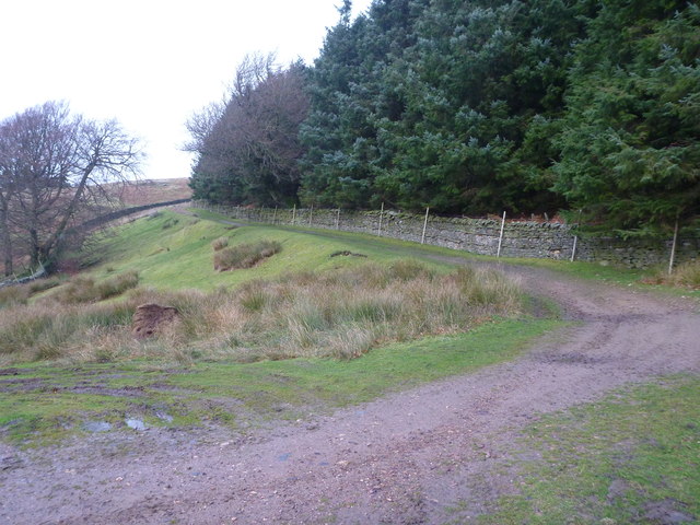
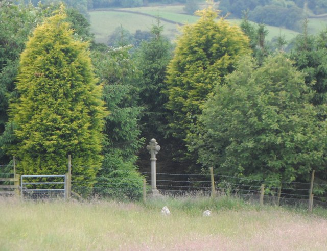
Eggleston Bridge Images

Images are sourced within 2km of 54.607/-2.007 or Grid Reference NY9923. Thanks to Geograph Open Source API. All images are credited.

Course of the Teesdale Way near Barnley
Stile Struggles: Cornered by an Impassable Quagmire
Folly Bank on the B6278 viewed from the viewpoint near the top
Bracken Heads Bracken Heads on Barnard Castle Allotments.
Bracken Heads
Bracken Heads on Barnard Castle Allotments.
Folly House Folly House Farm.
Folly House
Folly House Farm.
B6278 The B6278 near Folly Head.
B6278
The B6278 near Folly Head.
Nemour Hall Nemour Hall appears in this image as a fairly modest house with a barn attached at the rear; it is in fact revealed to be a quite large building once the front comes into view.
Nemour Hall
Nemour Hall appears in this image as a fairly modest house with a barn attached at the rear; it is in fact revealed to be a quite large building once the front comes into view.
Fields above B6278 near Eggleston Eggleston with the B6278 can be seen at the left side of the image; the fields lie above the road on its north side. The distant high ground rises to Monk's Moor.
Fields above B6278 near Eggleston
Eggleston with the B6278 can be seen at the left side of the image; the fields lie above the road on its north side. The distant high ground rises to Monk's Moor.
The B6278 road joining the B6282 road at Eggleston
Junction of B classified roads outside Eggleston The B6282 and the B6278 meet just east of the County Durham village of Eggleston. The blue and yellow road sign is characteristic of a style of signage introduced by County Durham some years ago.
Junction of B classified roads outside Eggleston
The B6282 and the B6278 meet just east of the County Durham village of Eggleston. The blue and yellow road sign is characteristic of a style of signage introduced by County Durham some years ago.
Track on Grey Carrs
Track on Grey Carrs
Frozen track on Nemour Hill
Rutted route rising from Low Garth Farm access routes which become rutted are regularly hideously muddied affairs; not so here with this 'machined' way rising from the deserted farm at Low Garth above the west side of the River Tees.
Rutted route rising from Low Garth
Farm access routes which become rutted are regularly hideously muddied affairs; not so here with this 'machined' way rising from the deserted farm at Low Garth above the west side of the River Tees.
Teesdale Way rising through Great Wood The path rises obliquely across the slope on which Great Wood grows, the way being stepped with timbers retaining earth to ease passage and minimise erosion.
Teesdale Way rising through Great Wood
The path rises obliquely across the slope on which Great Wood grows, the way being stepped with timbers retaining earth to ease passage and minimise erosion.
Track to Grey Carrs Taken from just beyond the end of the public road, at the point where a rather esoteric public footpath turns south west to end at a random point of no destination. The more useful public right of way is the bridleway which starts up this track up Nemour Hill, and breaks out onto the open fell to cross the southern slopes of Grey Carrs. Although, as a bridleway, one has every right to pursue this route on a bike, it is not particularly enjoyable, being deeply rutted, boggy or deep in heather in various stages of the crossing.
Track to Grey Carrs
Taken from just beyond the end of the public road, at the point where a rather esoteric public footpath turns south west to end at a random point of no destination. The more useful public right of way is the bridleway which starts up this track up Nemour Hill, and breaks out onto the open fell to cross the southern slopes of Grey Carrs. Although, as a bridleway, one has every right to pursue this route on a bike, it is not particularly enjoyable, being deeply rutted, boggy or deep in heather in various stages of the crossing.
Burial Ground at West Barnley Farm
East Barnley Farm
East Barnley Farm
Bullocks at West Barnley Farm
Show me another place!

Eggleston Bridge is located at Grid Ref: NY9923 (Lat: 54.607, Lng: -2.007)

Unitary Authority: County Durham

Police Authority: Durham

What 3 Words

///stiffly.fetch.husband. Near Eggleston, Co. Durham

Related Wikis

Eggleston Hall

Eggleston Hall is a privately owned 19th-century English country house in Eggleston, Teesdale, County Durham. It is a Grade II* listed building. ��2�...

Hill Top, Teesdale

Hill Top is a small village in County Durham, in England. It is situated to the north of Eggleston. == References ==

Eggleston

Eggleston is a village in County Durham, in England. The population of the civil parish taken at the 2011 Census was 448. It is in the Teesdale, a few...

Romaldkirk

Romaldkirk is a village in Teesdale, in the Pennines of England. The village lies within the historic boundaries of the North Riding of Yorkshire, but...

Romaldkirk railway station

Romaldkirk railway station was situated on the Tees Valley Railway between Barnard Castle and Middleton-in-Teesdale. It served the village of Romaldkirk...

Egglesburn

Egglesburn is a village in County Durham, Northern England. It is in the Teesdale, Mickleton is on opposite bank of the River Tees. In the 1960s Durham...

Shipley and Great Woods

Shipley and Great Woods is a Site of Special Scientific Interest in the Teesdale district of south-west County Durham, England. It occupies a steep ravine...

Hunderthwaite

Hunderthwaite is a village and civil parish in Teesdale, in the Pennines of England. The population of the civil parish taken at the 2011 census was 114...

Nearby Amenities

Located within 500m of 54.607,-2.007
Eggleston
Place: village
Wikidata: Q2682690
Wikipedia: en:Eggleston
Lat/Long: 54.6082229/-2.0012552
Parking
Eggleston Hall parking
Access: customers
Parking: surface
Lat/Long: 54.6061878/-2.0054066
Addr City: Barnard Castle
Addr Housename: The Coach House
Addr Place: Eggleston Hall
Addr Postcode: DL12 0AG
Addr Village: Eggleston
Disused Amenity: cafe
Old Name: Coach House Café
Operator: CCS Catering
Source Addr: FHRS Open Data
Lat/Long: 54.6063259/-2.0050405
Bus Stop
Three Tuns
Naptan AtcoCode: 13007820A
Naptan Bearing: N
Naptan CommonName: Three Tuns
Naptan Indicator: north bound
Naptan Landmark: Landmark not known
Naptan NaptanCode: durgagwg
Naptan Notes: Outside The Three Tuns Inn- Church Bank- Eggleston
Naptan Street: Street not known
Naptan Verified: no
Source: naptan_import
Lat/Long: 54.6099046/-2.0025256
Bus Stop
Three Tuns
Naptan AtcoCode: 13007820E
Naptan Bearing: S
Naptan CommonName: Three Tuns
Naptan Indicator: south bound
Naptan Landmark: Landmark not known
Naptan NaptanCode: durgagwj
Naptan Notes: Opposite The Three Tuns Inn (PH)- Church Bank- Eggleston
Naptan Street: Street not known
Naptan Verified: no
Source: naptan_import
Lat/Long: 54.6098999/-2.0024038
Pub
The Three Tuns
Addr City: Barnard Castle
Addr Postcode: DL12 0AH
Addr Street: Church Bank
Addr Village: Eggleston
Fhrs Id: 805402
Fixme: Extant? FHRS ID invalid
Source Addr: FHRS Open Data
Lat/Long: 54.6100598/-2.002738
Traffic Signals
Crossing: no
Traffic Signals Direction: forward
Lat/Long: 54.6042001/-2.0060741
Traffic Signals
Crossing: no
Traffic Signals Direction: backward
Lat/Long: 54.6041869/-2.0071899
Barrier: stile
Foot: yes
Lat/Long: 54.6037152/-2.0083789
Bicycle Parking
Lat/Long: 54.6063633/-2.0052994
Entrance: main
Lat/Long: 54.6063609/-2.005231
Power: pole
Lat/Long: 54.6075265/-1.9997986
Power: pole
Lat/Long: 54.6078612/-2.0007227
Post Box
Image: https://www.geograph.org.uk/photo/3658043
Post Box Type: pillar
Lat/Long: 54.6098432/-2.0024066
Denomination: anglican
Disused Amenity: place_of_worship
Old Name: Holy Trinity Church
Religion: christian
Ruined Building: church
Wikidata: Q26414790
Wikimedia Commons: File:The old church at Eggleston - geograph.org.uk - 1476519.jpg
Lat/Long: 54.6057943/-2.0049539
Toilets
Access: no
Lat/Long: 54.6063846/-2.0051846
Disused Shop: gift
Old Name: Coach House Gift Shop
Lat/Long: 54.6064328/-2.0053093
Power: pole
Lat/Long: 54.6099909/-2.0124815
Power: pole
Transformer: distribution
Lat/Long: 54.6097952/-2.0096022
Power: pole
Lat/Long: 54.6089501/-2.004109
Power: pole
Lat/Long: 54.6090014/-2.0052959
Power: pole
Lat/Long: 54.6092546/-2.0063581
Power: pole
Lat/Long: 54.6094798/-2.0073384
Power: pole
Lat/Long: 54.6097198/-2.008359
Power: pole
Lat/Long: 54.6098387/-2.0096022
Power: pole
Lat/Long: 54.6099529/-2.0108789
Power: pole
Lat/Long: 54.6096647/-2.0121771
Power: pole
Lat/Long: 54.609361/-2.0135504
The data included in this document is from www.openstreetmap.org. The data is made available under ODbL.

Have you been to Eggleston Bridge?

Leave your review of Eggleston Bridge below (or comments, questions and feedback).