Raikes
Settlement in Yorkshire Craven
England
Raikes

Raikes is a small village located in the county of Yorkshire, England. Situated in the Craven district, it is nestled within the beautiful Yorkshire Dales National Park, known for its stunning landscapes and picturesque countryside. The village is surrounded by rolling hills, lush green fields, and charming stone-built houses that add to its rural charm.
Raikes is home to a close-knit community of residents who enjoy the tranquility and natural beauty of the area. The village is known for its peaceful atmosphere, making it an ideal place for those seeking a quiet and idyllic lifestyle. The local economy is primarily based on agriculture, with many residents involved in farming and livestock rearing.
Despite its small size, Raikes offers a range of amenities to its residents. There is a local primary school that serves the village and neighboring communities. The village also has a community center where various events and gatherings take place, fostering a sense of community spirit.
For outdoor enthusiasts, Raikes provides ample opportunities for exploration and recreation. The surrounding countryside offers numerous walking and hiking trails, allowing residents and visitors to immerse themselves in nature. The village is also within close proximity to several tourist attractions, including Bolton Abbey and Malham Cove, which attract visitors from near and far.
In summary, Raikes is a peaceful and scenic village in Yorkshire, offering a tranquil lifestyle amidst stunning natural surroundings. With its strong sense of community and access to outdoor activities, it is an attractive destination for those seeking a quieter pace of life.
If you have any feedback on the listing, please let us know in the comments section below.
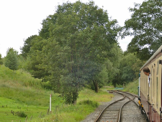
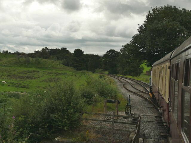
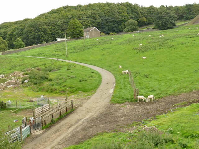
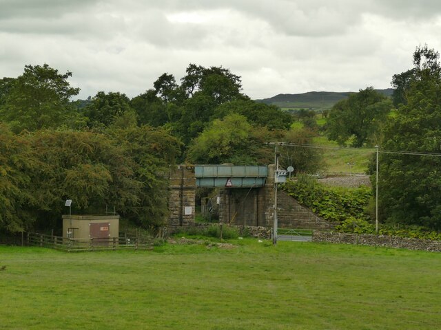
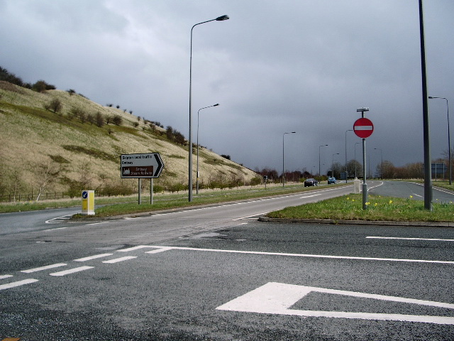
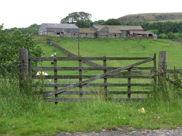
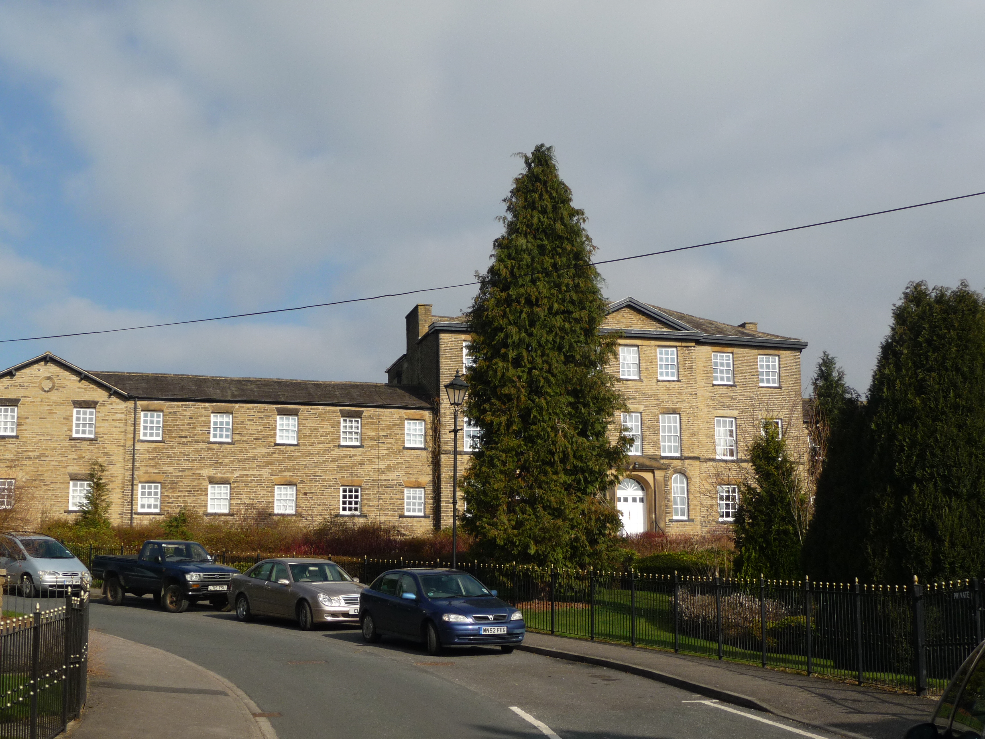
Raikes Images
Images are sourced within 2km of 53.967269/-2.0255268 or Grid Reference SD9852. Thanks to Geograph Open Source API. All images are credited.
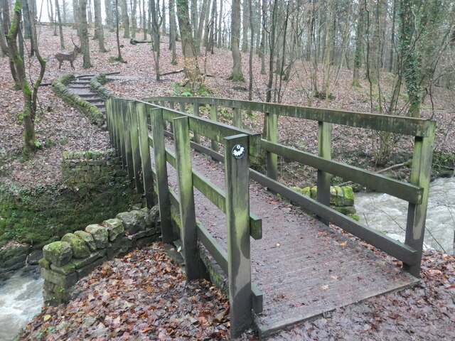
![Monitoring equipment, Eller Beck, Skipton Woods A depth gauge and some pipes [for sampling?]. This is a Woodland Trust site, also known as Skipton Woods.](https://s2.geograph.org.uk/geophotos/07/66/59/7665930_2ef7466c.jpg)


Raikes is located at Grid Ref: SD9852 (Lat: 53.967269, Lng: -2.0255268)
Division: West Riding
Administrative County: North Yorkshire
District: Craven
Police Authority: North Yorkshire
What 3 Words
///reclusive.reminder.prude. Near Skipton, North Yorkshire
Nearby Locations
Related Wikis

Skipton Girls' High School
Skipton Girls' High School, founded in 1886 by the Petyt Trust, is an all-girls selective grammar school situated in Skipton, North Yorkshire, England...
Raikeswood Hospital
Raikeswood Hospital was a health facility in Gargrave Road, Skipton, North Yorkshire, England. It has been converted for residential use and remains a...
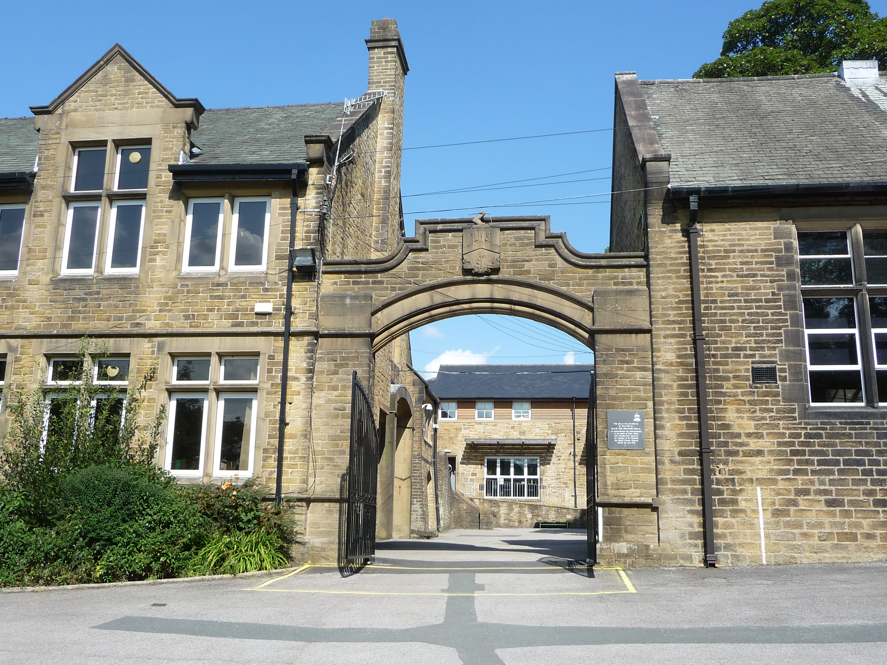
Ermysted's Grammar School
Ermysted's Grammar School is an 11-18 boys' voluntary aided grammar school in Skipton, North Yorkshire, England.It was founded by Peter Toller in the 15th...
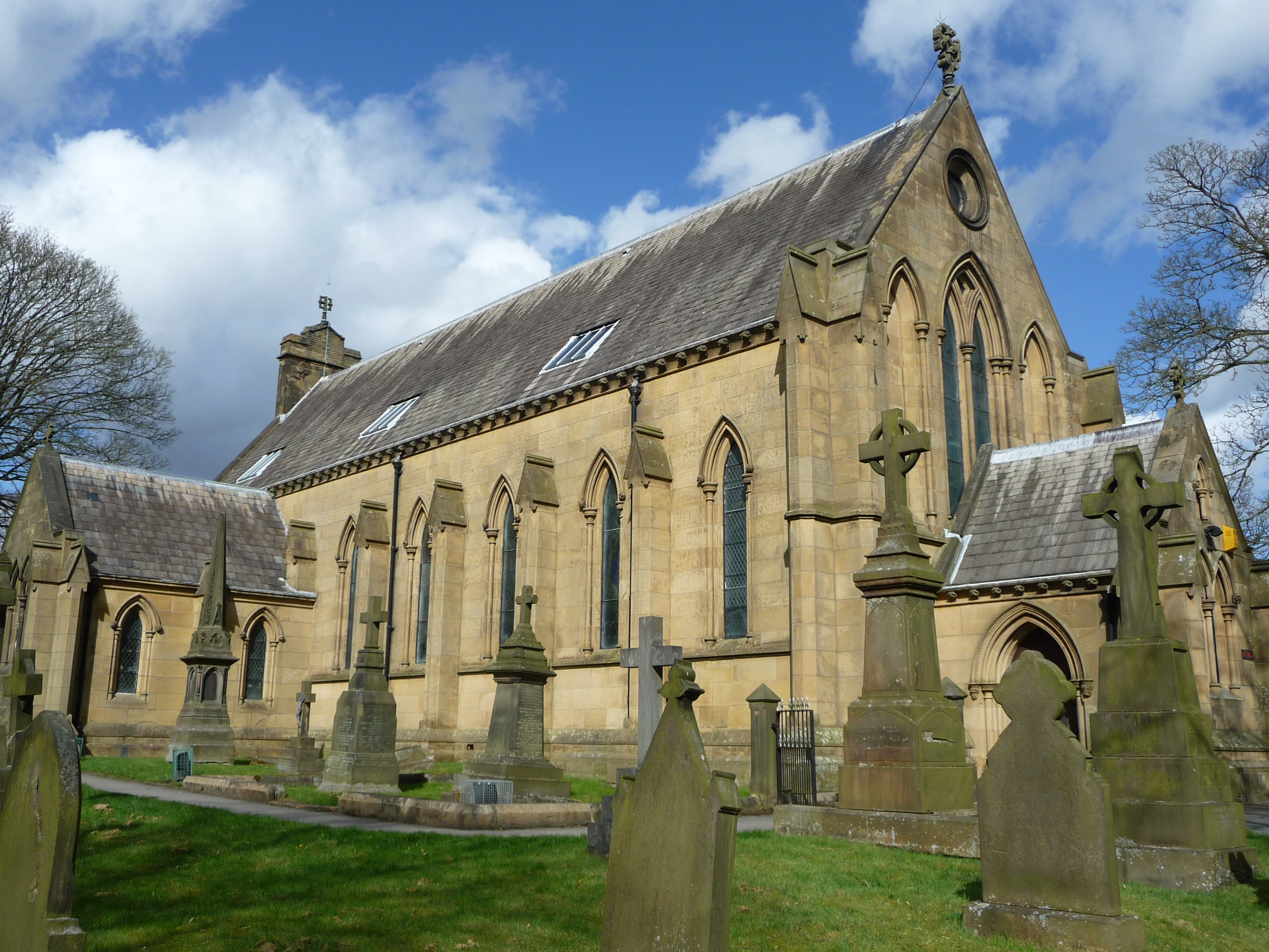
St Stephen's Church, Skipton
St Stephen's Church is a Roman Catholic Parish church in Skipton, North Yorkshire, England. It is situated next to Ermysted's Grammar School close to the...

Aireville Park
Aireville Park is a park in Skipton, North Yorkshire, England. == History == Aireville Park was created in the 1830s by Henry Allcock as part of the Aireville...
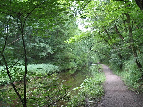
Skipton Wood
Skipton Wood (also known as Skipton Castle Woods, Castle Wood or Springs Wood) is a 36-acre (15 ha) wood following the valley of Eller Beck to the north...

Holy Trinity Church, Skipton
Holy Trinity Church is in High Street, Skipton, North Yorkshire, England. Medieval in origin, the church is recorded in the National Heritage List for...

Skipton
Skipton (also known as Skipton-in-Craven) is a market town and civil parish in North Yorkshire, England. Historically in the East Division of Staincliffe...
Nearby Amenities
Located within 500m of 53.967269,-2.0255268Have you been to Raikes?
Leave your review of Raikes below (or comments, questions and feedback).