Dan's Hill

Hill, Mountain in Northumberland

England

Dan's Hill

Shoe tree In the middle of nowhere, literally in 'The Wilds of Wannie'.
Shoe tree Credit: Leanmeanmo

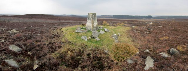
Dan's Hill is a prominent hill located in Northumberland, England. Situated in the northern part of the county, it forms part of the picturesque Northumberland National Park. Standing at an elevation of approximately 450 meters (1,480 feet), it is often referred to as a hill rather than a mountain due to its modest height.

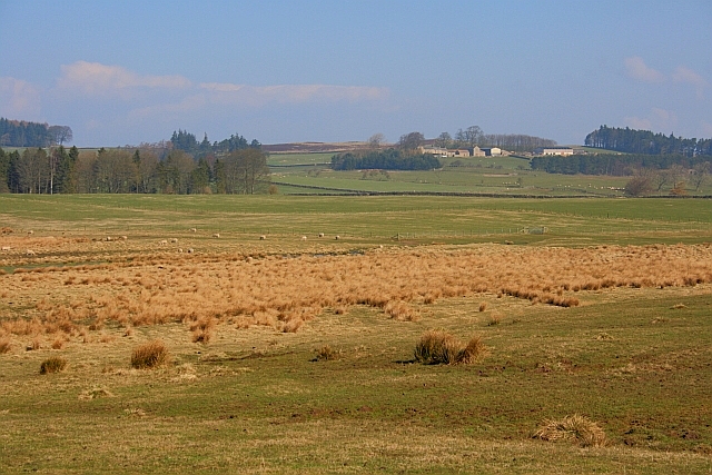
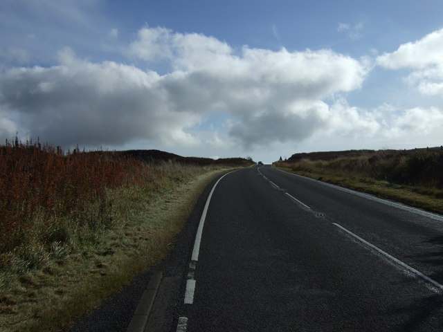
The hill is known for its stunning panoramic views of the surrounding landscape. From its summit, visitors can behold the sweeping vistas of the Northumberland countryside, characterized by rolling hills, verdant meadows, and charming villages. On clear days, it is possible to see as far as the Cheviot Hills, the North Sea coast, and even the Scottish border.

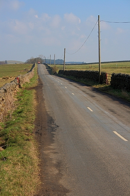
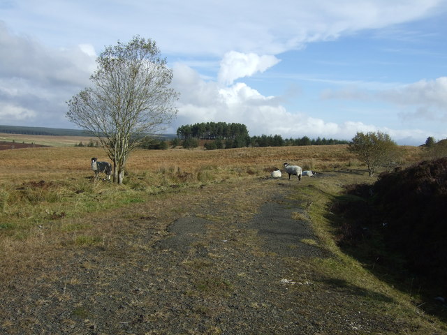
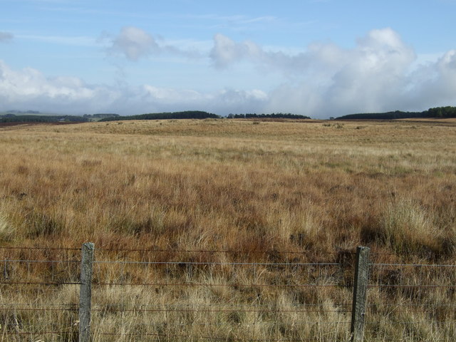
Dan's Hill is a popular destination for hikers and nature enthusiasts. Several well-marked trails lead to the summit, offering different levels of difficulty to cater to all abilities. The paths meander through diverse terrain, including heather-covered moorland, ancient woodlands, and rocky outcrops.

Flora and fauna are abundant on Dan's Hill, with numerous species of plants and animals calling the area home. The hill provides a habitat for a variety of bird species, including kestrels, buzzards, and curlews. In spring and summer, the slopes come alive with a vibrant display of wildflowers, adding to the hill's natural beauty.

Overall, Dan's Hill is a captivating destination for those seeking a tranquil escape in the heart of Northumberland. Its breathtaking views, diverse landscapes, and rich biodiversity make it a must-visit location for nature lovers and outdoor enthusiasts alike.

If you have any feedback on the listing, please let us know in the comments section below.
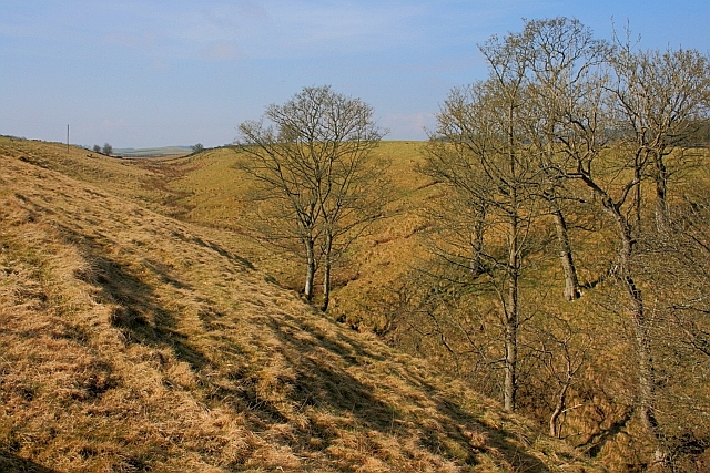
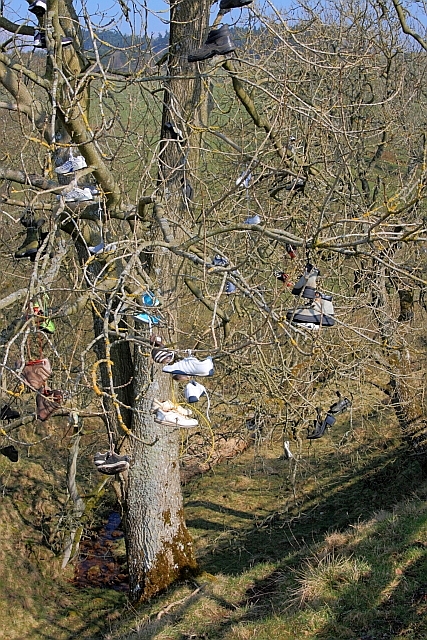
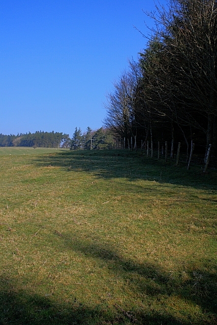
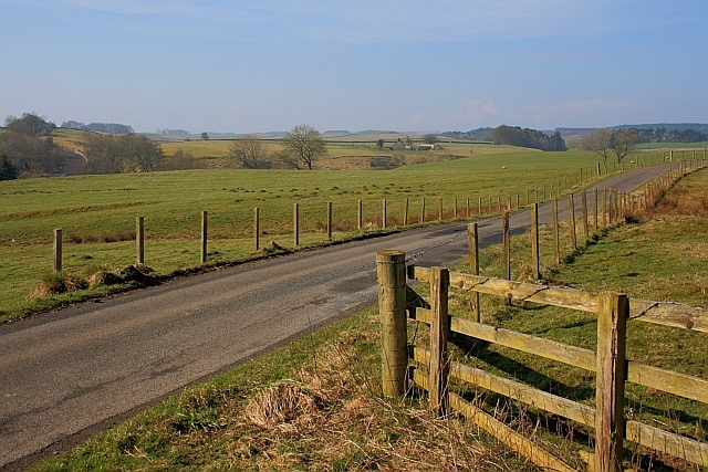
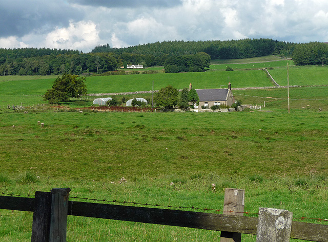
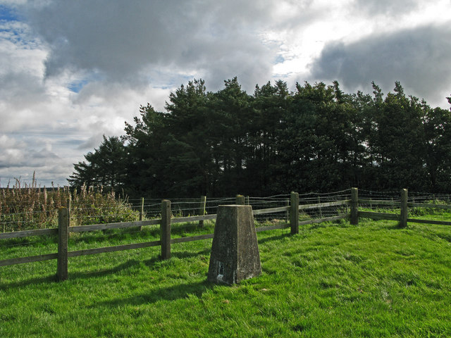
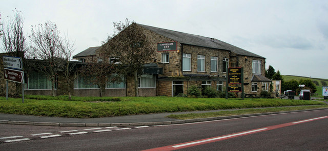
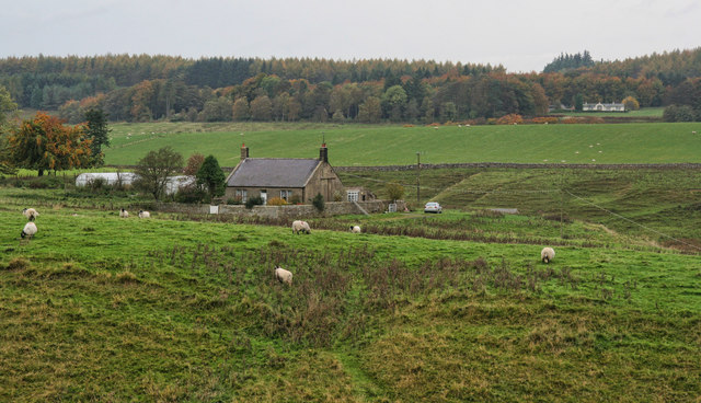
Dan's Hill Images

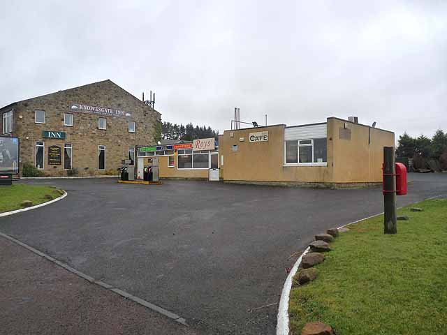
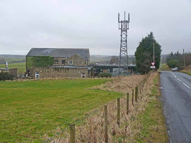
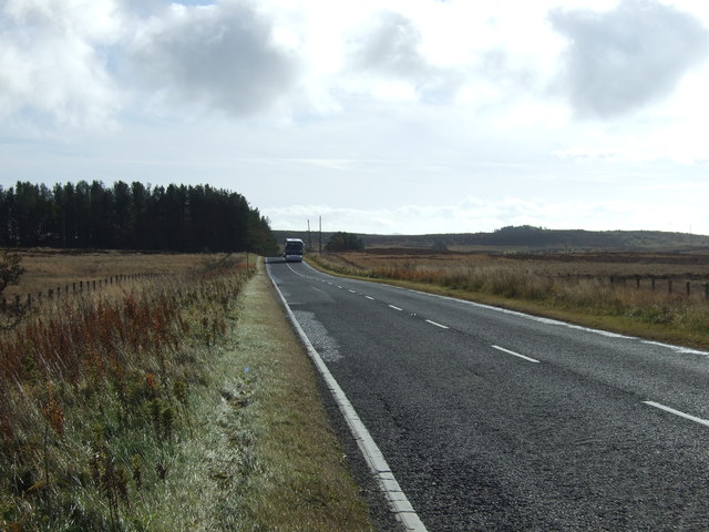
Images are sourced within 2km of 55.173186/-2.0355781 or Grid Reference NY9786. Thanks to Geograph Open Source API. All images are credited.

Shoe tree In the middle of nowhere, literally in 'The Wilds of Wannie'.
Shoe tree
In the middle of nowhere, literally in 'The Wilds of Wannie'.
Summit of Black Down A panorama of 7 photos. Ray Crag and Crag Wood above Ray Demesne are to the right of the pillar.
Summit of Black Down
A panorama of 7 photos. Ray Crag and Crag Wood above Ray Demesne are to the right of the pillar.
Rough Pasture Along the Ray Burn Blackhalls in the distance (<a href="https://www.geograph.org.uk/gridref/NY9785">NY9785</a>).
Rough Pasture Along the Ray Burn
Blackhalls in the distance (NY9785).
Road to Knowesgate
Road to Knowesgate
Tributary of Ray Burn
Shoe Tree The tree seems to have fruited a few more pairs since Pete Saunders' 2007 photo <a href="https://www.geograph.org.uk/photo/596614">NY9785 : 'Shoe Tree' near Knowesgate</a>.
Shoe Tree
The tree seems to have fruited a few more pairs since Pete Saunders' 2007 photo NY9785 : 'Shoe Tree' near Knowesgate.
Edge of Herpath Wood
Road to Ray Demesne
Road to Ray Demesne
Farmland near Kirkwhelpington (3) The building in the foreground is marked on the map as Ray Mill - it stands by Ray Burn - but is now just a cottage. Nestling further up the hill are more cottages, all part of the Ray estate.
At the top of the hill are Old Firs Wood and Crag Wood.
Farmland near Kirkwhelpington (3)
The building in the foreground is marked on the map as Ray Mill - it stands by Ray Burn - but is now just a cottage. Nestling further up the hill are more cottages, all part of the Ray estate. At the top of the hill are Old Firs Wood and Crag Wood.
Trig point at Whitehill. The trig point known to the OS as Whitehill lies north-east of the farm at West Whitehill and sits beside a grass covered reservoir within a fenced enclosure.
Trig point at Whitehill.
The trig point known to the OS as Whitehill lies north-east of the farm at West Whitehill and sits beside a grass covered reservoir within a fenced enclosure.
Knowesgate Knowesgate Inn at Knowesgate crossroads.
Knowesgate
Knowesgate Inn at Knowesgate crossroads.
Ray Mill Cottage at Ray Mill.
Ray Mill
Cottage at Ray Mill.
Knowesgate Inn and Cafe Also incorporating a small convenience store, this is one of the very few service points on the lonely A696/A68 trunk road from Newcastle to Jedburgh.
Knowesgate Inn and Cafe
Also incorporating a small convenience store, this is one of the very few service points on the lonely A696/A68 trunk road from Newcastle to Jedburgh.
Rear of Knowesgate Inn Hotel Also incorporating a cafe and small convenience store, this is one of the very few service points on the lonely A696/A68 trunk road from Newcastle to Jedburgh. Note also the mobile phone mast.
Rear of Knowesgate Inn Hotel
Also incorporating a cafe and small convenience store, this is one of the very few service points on the lonely A696/A68 trunk road from Newcastle to Jedburgh. Note also the mobile phone mast.
Track and grazing off the A696
A696 towards Newcastle
Rough grazing, Shake Holes
A696 towards Newcastle Heading south.
A696 towards Newcastle
Heading south.
Show me another place!

Dan's Hill is located at Grid Ref: NY9786 (Lat: 55.173186, Lng: -2.0355781)

Unitary Authority: Northumberland

Police Authority: Northumbria

What 3 Words

///organisms.stapled.handover. Near Rothley, Northumberland

Related Wikis

Knowesgate railway station

Knowesgate was a stone-built railway station with goods sidings in Northumberland, England on the Wansbeck Railway between Morpeth and Reedsmouth, which...

Northumberland

Northumberland ( nor-THUM-bər-lənd) is a ceremonial county in North East England, bordering Scotland. It is bordered by the Scottish Borders to the north...

Little Harle Tower

Little Harle Tower is a Grade II* listed privately owned country house with 15th-century origins, located at Little Harle, Kirkwhelpington, Northumberland...

Kirkwhelpington

Kirkwhelpington is a village and civil parish in the English county of Northumberland about 13 miles (21 km) northeast of Hexham. It is on the River Wansbeck...

Nearby Amenities

Located within 500m of 55.173186,-2.0355781
Dan's Hill
Place: locality
Lat/Long: 55.1703471/-2.0357265
Dawes Moss
Place: locality
Lat/Long: 55.1725544/-2.0288084
Kirkwhelpington Common
Place: locality
Lat/Long: 55.1747175/-2.0338327
Power: pole
Lat/Long: 55.1700226/-2.0303028
The data included in this document is from www.openstreetmap.org. The data is made available under ODbL.

Have you been to Dan's Hill?

Leave your review of Dan's Hill below (or comments, questions and feedback).