Crags Plantation

Wood, Forest in Northumberland

England

Crags Plantation

Shoe tree In the middle of nowhere, literally in 'The Wilds of Wannie'.
Shoe tree Credit: Leanmeanmo

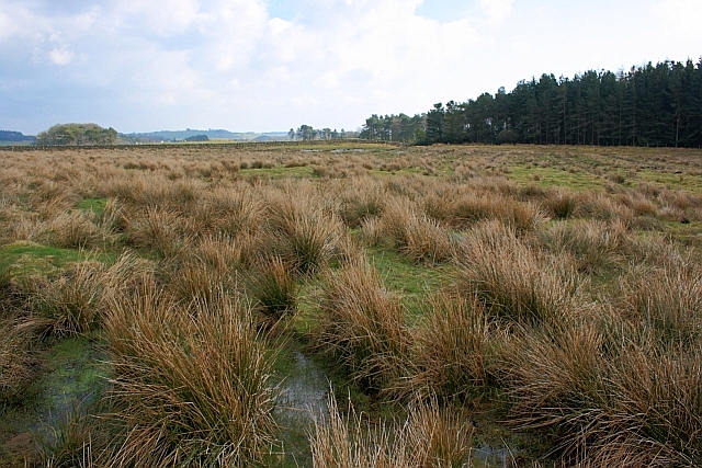
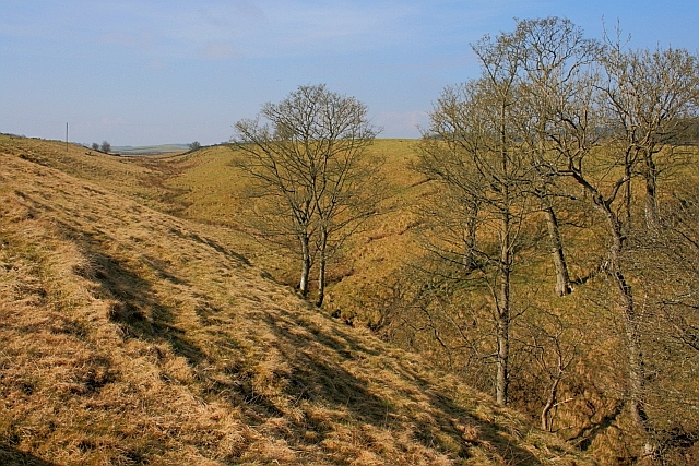
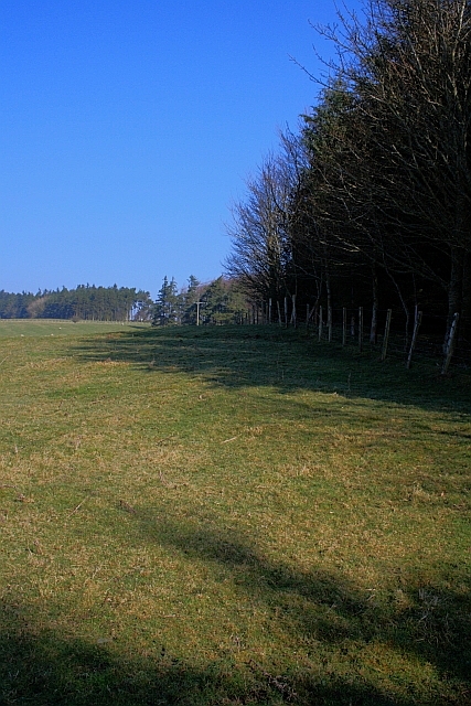
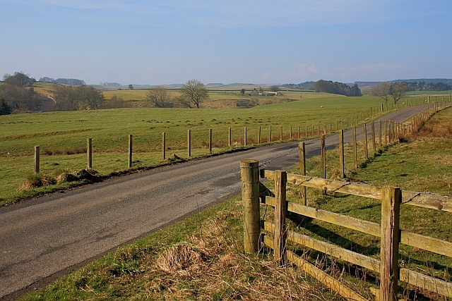
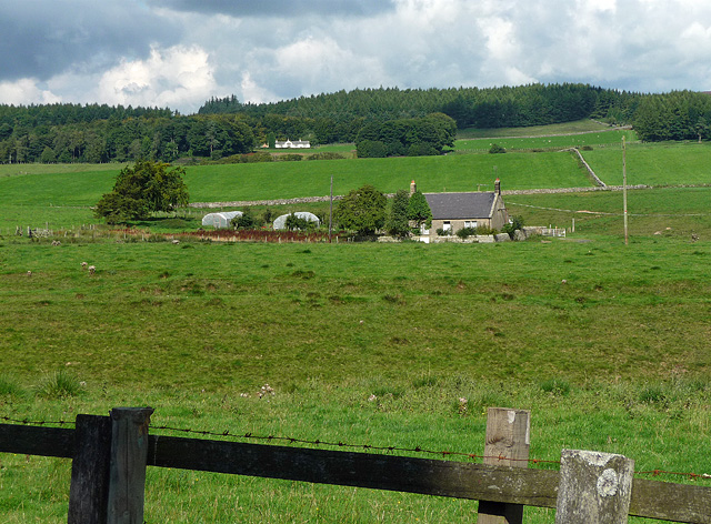
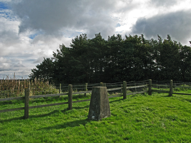
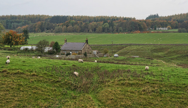
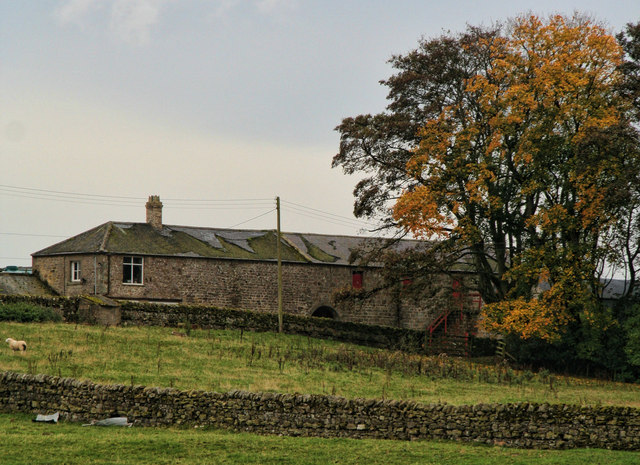
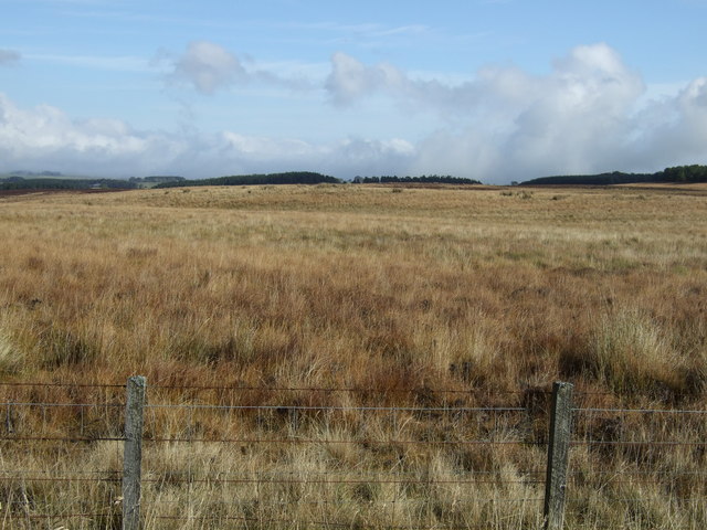
Crags Plantation, located in Northumberland, is a sprawling wood and forest area that covers a significant portion of the region. Spanning across numerous acres, this plantation is known for its picturesque landscapes, diverse flora and fauna, and historical significance.

The woodlands of Crags Plantation are predominantly composed of native tree species, including oak, ash, beech, and birch. These trees create a dense canopy, providing a habitat for a wide array of wildlife. Visitors to the plantation may encounter various bird species, such as woodpeckers, owls, and thrushes, as well as mammals like deer, foxes, and squirrels.

The plantation's historical significance stems from its association with the local coal mining industry. In the past, the woodlands were utilized to provide timber for the mines, and remnants of old coal pits can still be found within the plantation. These remnants serve as a reminder of the region's industrial heritage.

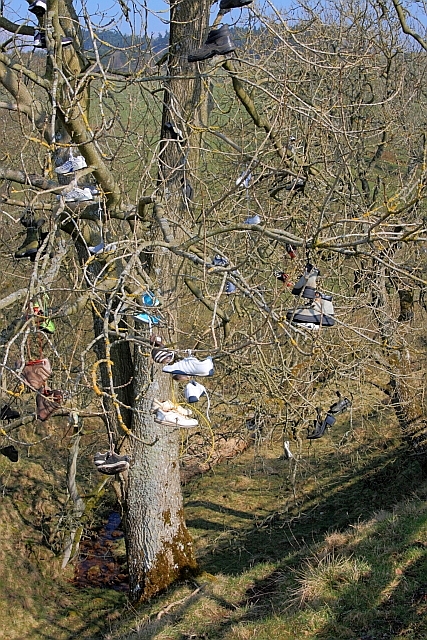
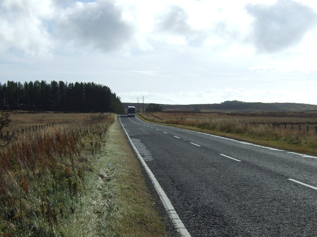
Crags Plantation offers an abundance of recreational activities for nature enthusiasts. Hiking and walking trails wind through the woodlands, allowing visitors to immerse themselves in the natural beauty of the area. The plantation also provides opportunities for birdwatching, photography, and picnicking.

Furthermore, the plantation is managed by a dedicated team of conservationists who strive to maintain and enhance its ecological value. They implement sustainable forestry practices, ensuring the long-term health and vitality of the woodland ecosystem.

In conclusion, Crags Plantation in Northumberland is a remarkable wood and forest area that offers both natural beauty and historical significance. With its diverse flora and fauna, recreational activities, and commitment to conservation, it is a cherished destination for locals and tourists alike.

If you have any feedback on the listing, please let us know in the comments section below.

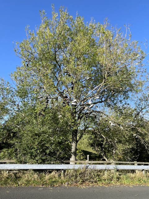
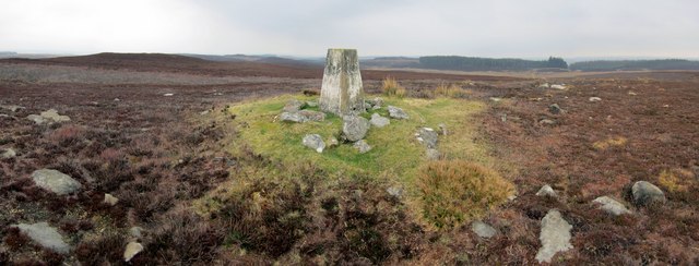
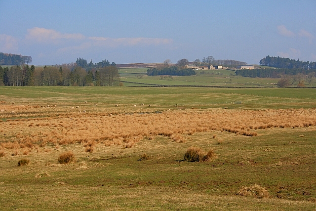
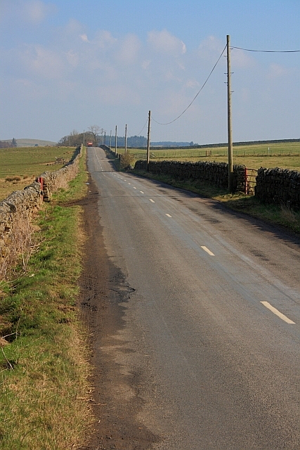
Crags Plantation Images

Images are sourced within 2km of 55.169213/-2.0403155 or Grid Reference NY9786. Thanks to Geograph Open Source API. All images are credited.

Shoe tree In the middle of nowhere, literally in 'The Wilds of Wannie'.
Shoe tree
In the middle of nowhere, literally in 'The Wilds of Wannie'.
Summit of Black Down A panorama of 7 photos. Ray Crag and Crag Wood above Ray Demesne are to the right of the pillar.
Summit of Black Down
A panorama of 7 photos. Ray Crag and Crag Wood above Ray Demesne are to the right of the pillar.
Rough Pasture Along the Ray Burn Blackhalls in the distance (<a href="https://www.geograph.org.uk/gridref/NY9785">NY9785</a>).
Rough Pasture Along the Ray Burn
Blackhalls in the distance (NY9785).
Road to Knowesgate
Road to Knowesgate
Boggy Ground near Larkhall
Tributary of Ray Burn
Shoe Tree The tree seems to have fruited a few more pairs since Pete Saunders' 2007 photo <a href="https://www.geograph.org.uk/photo/596614">NY9785 : 'Shoe Tree' near Knowesgate</a>.
Shoe Tree
The tree seems to have fruited a few more pairs since Pete Saunders' 2007 photo NY9785 : 'Shoe Tree' near Knowesgate.
Edge of Herpath Wood
Road to Ray Demesne
Road to Ray Demesne
Farmland near Kirkwhelpington (3) The building in the foreground is marked on the map as Ray Mill - it stands by Ray Burn - but is now just a cottage. Nestling further up the hill are more cottages, all part of the Ray estate.
At the top of the hill are Old Firs Wood and Crag Wood.
Farmland near Kirkwhelpington (3)
The building in the foreground is marked on the map as Ray Mill - it stands by Ray Burn - but is now just a cottage. Nestling further up the hill are more cottages, all part of the Ray estate. At the top of the hill are Old Firs Wood and Crag Wood.
Trig point at Whitehill. The trig point known to the OS as Whitehill lies north-east of the farm at West Whitehill and sits beside a grass covered reservoir within a fenced enclosure.
Trig point at Whitehill.
The trig point known to the OS as Whitehill lies north-east of the farm at West Whitehill and sits beside a grass covered reservoir within a fenced enclosure.
Knowesgate Knowesgate Inn at Knowesgate crossroads.
Knowesgate
Knowesgate Inn at Knowesgate crossroads.
Ray Mill Cottage at Ray Mill.
Ray Mill
Cottage at Ray Mill.
Cornhills Cornhills Farm.
Cornhills
Cornhills Farm.
Knowesgate Inn and Cafe Also incorporating a small convenience store, this is one of the very few service points on the lonely A696/A68 trunk road from Newcastle to Jedburgh.
Knowesgate Inn and Cafe
Also incorporating a small convenience store, this is one of the very few service points on the lonely A696/A68 trunk road from Newcastle to Jedburgh.
Rear of Knowesgate Inn Hotel Also incorporating a cafe and small convenience store, this is one of the very few service points on the lonely A696/A68 trunk road from Newcastle to Jedburgh. Note also the mobile phone mast.
Rear of Knowesgate Inn Hotel
Also incorporating a cafe and small convenience store, this is one of the very few service points on the lonely A696/A68 trunk road from Newcastle to Jedburgh. Note also the mobile phone mast.
Rough grazing, Shake Holes
A696 towards Newcastle Heading south.
A696 towards Newcastle
Heading south.
Show me another place!

Crags Plantation is located at Grid Ref: NY9786 (Lat: 55.169213, Lng: -2.0403155)

Unitary Authority: Northumberland

Police Authority: Northumbria

What 3 Words

///producers.endlessly.jacket. Near Rothley, Northumberland

Related Wikis

Knowesgate railway station

Knowesgate was a stone-built railway station with goods sidings in Northumberland, England on the Wansbeck Railway between Morpeth and Reedsmouth, which...

Little Harle Tower

Little Harle Tower is a Grade II* listed privately owned country house with 15th-century origins, located at Little Harle, Kirkwhelpington, Northumberland...

Northumberland

Northumberland ( nor-THUM-bər-lənd) is a ceremonial county in North East England, bordering Scotland. It is bordered by the Scottish Borders to the north...

Kirkwhelpington

Kirkwhelpington is a village and civil parish in the English county of Northumberland about 13 miles (21 km) northeast of Hexham. It is on the River Wansbeck...

Nearby Amenities

Located within 500m of 55.169213,-2.0403155
Dan's Hill
Place: locality
Lat/Long: 55.1703471/-2.0357265
The data included in this document is from www.openstreetmap.org. The data is made available under ODbL.

Have you been to Crags Plantation?

Leave your review of Crags Plantation below (or comments, questions and feedback).