Knapperty Hillock
Hill, Mountain in Aberdeenshire
Scotland
Knapperty Hillock

Knapperty Hillock, located in Aberdeenshire, Scotland, is a picturesque hill that offers stunning views of the surrounding countryside. Rising to an elevation of approximately 300 meters (985 feet), it is classified as a hill rather than a mountain. Despite its modest height, the summit of Knapperty Hillock provides a panoramic vista that encompasses the rolling green fields, quaint villages, and distant peaks of the Grampian Mountains.
The hill is covered in heather moorland, which bursts into vibrant hues of purple in the late summer, creating a beautiful spectacle. The terrain is gentle and undulating, making it accessible to walkers of all abilities. A network of well-maintained paths and trails winds its way up the hill, providing visitors with various options for exploring the area.
Knapperty Hillock is known for its rich biodiversity, with a wide range of flora and fauna calling it home. The heather moorland provides a habitat for numerous bird species, including the iconic red grouse and the elusive merlin. The hill is also home to various mammals, such as red deer and mountain hares, which can often be spotted grazing or darting across the landscape.
For outdoor enthusiasts, Knapperty Hillock offers opportunities for hiking, nature photography, and birdwatching. The hill's proximity to nearby towns and villages means that it is easily accessible and can be enjoyed as a day trip destination. Whether it is to immerse oneself in the tranquility of nature or to capture breathtaking photographs, Knapperty Hillock is a must-visit for those seeking to experience the natural beauty of Aberdeenshire.
If you have any feedback on the listing, please let us know in the comments section below.
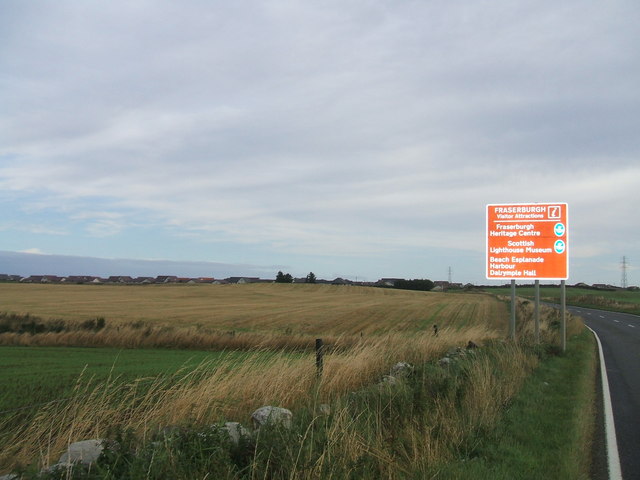
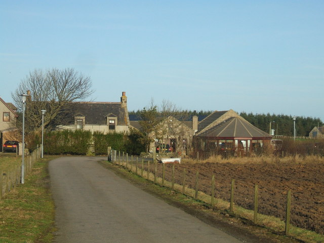
Knapperty Hillock Images
Images are sourced within 2km of 57.673837/-2.0601063 or Grid Reference NJ9664. Thanks to Geograph Open Source API. All images are credited.


Knapperty Hillock is located at Grid Ref: NJ9664 (Lat: 57.673837, Lng: -2.0601063)
Unitary Authority: Aberdeenshire
Police Authority: North East
What 3 Words
///speakers.lush.spectacle. Near Fraserburgh, Aberdeenshire
Nearby Locations
Related Wikis

Banff and Buchan College
Banff and Buchan College was until 1 November 2013 the name of the further education institution in Aberdeenshire, Scotland. In November 2013, Banff &...
Fraserburgh United F.C.
Fraserburgh United Football Club are a Scottish football club from the town of Fraserburgh, Aberdeenshire. Members of the Scottish Junior Football Association...

Sandhaven
Sandhaven is a small fishing village in Aberdeenshire, Scotland, which lies between Rosehearty to the west and Fraserburgh to the east. It is joined to...
Memsie
Memsie, Aberdeenshire, is a small community near Fraserburgh, Scotland. On Memsie Moor there is a very large stone cairn, Memsie Cairn, which has been...
Related Videos

Travelling to Glenbuchty Motorhome Stopover
We drive from Findhorn Village to Glenbuchty Motorhome stopover at Fraserburgh. This was the first real sight of snow we'd had ...


banff springs hotel,banff scotland
22/5/18.

Johnny foxes Inverness 2018
Hogmanay.
Nearby Amenities
Located within 500m of 57.673837,-2.0601063Have you been to Knapperty Hillock?
Leave your review of Knapperty Hillock below (or comments, questions and feedback).