Overmoor

Hill, Mountain in Staffordshire Staffordshire Moorlands

England

Overmoor

A520 Cellarhead The view entering Cellarhead heading north on the Leek Road (A520).
A520 Cellarhead Credit: Gordon Griffiths

Overmoor is a picturesque hill located in the county of Staffordshire, England. Situated in the heart of the Staffordshire Moorlands, it forms part of the scenic landscape of this region. The hill is known for its impressive elevation and offers breathtaking views of the surrounding countryside.

Rising to a height of approximately 350 meters (1150 feet) above sea level, Overmoor is often referred to as a mountain due to its prominent position in the area. The hill is covered in lush green vegetation, primarily consisting of grassy slopes and patches of heather, creating a vibrant and captivating scenery.

Overmoor attracts nature enthusiasts and hikers from near and far, providing ample opportunities for outdoor activities. There are well-marked trails that traverse the hill, allowing visitors to explore its various features at their own pace. The hilltop offers a panoramic vista, where on clear days, one can see the sprawling Staffordshire Moorlands stretching out for miles.

The area surrounding Overmoor is rich in biodiversity, with a diverse range of flora and fauna calling it home. The hill is renowned for its birdlife, making it a popular spot for birdwatching enthusiasts. Visitors may also encounter small mammals such as rabbits and foxes during their explorations.

Overall, Overmoor in Staffordshire is a captivating hill that offers visitors a chance to immerse themselves in the natural beauty of the Staffordshire Moorlands. With its stunning views and abundant wildlife, it is a must-visit destination for nature lovers and outdoor enthusiasts alike.

If you have any feedback on the listing, please let us know in the comments section below.
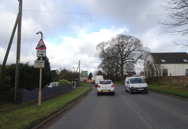
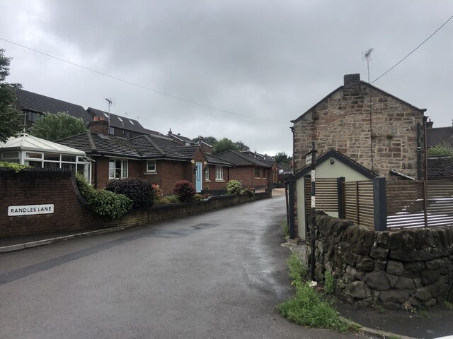
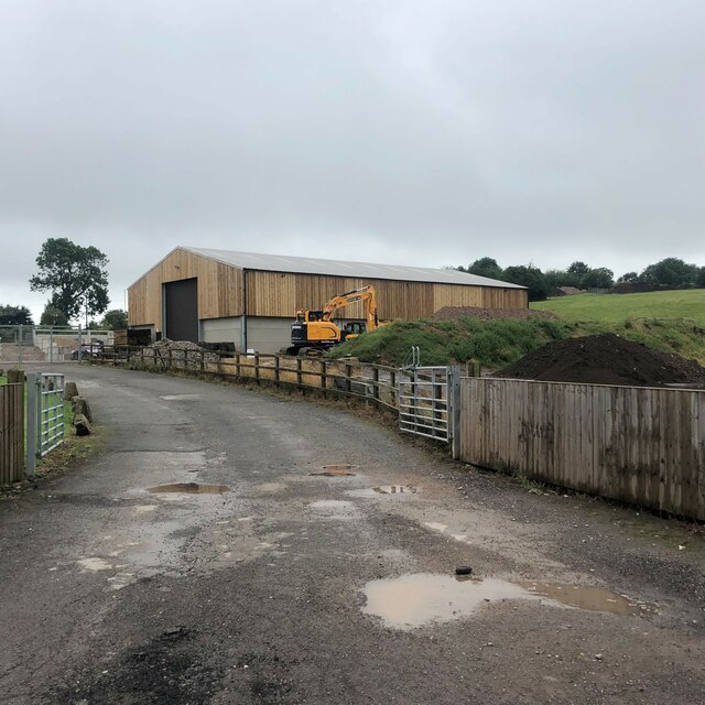
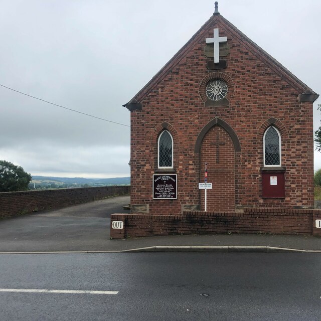
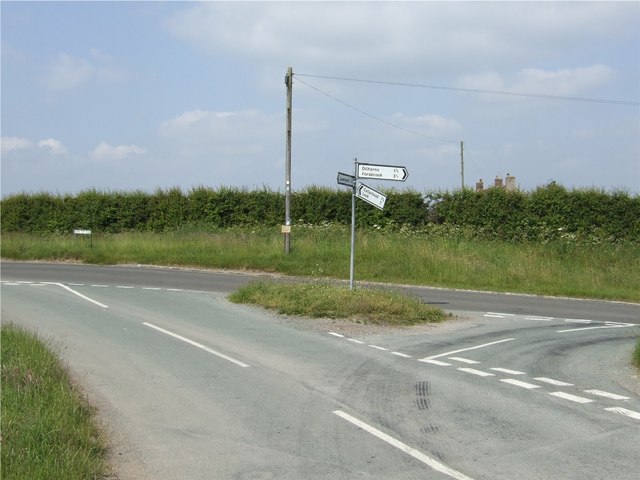
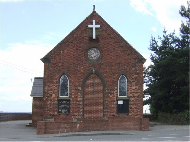
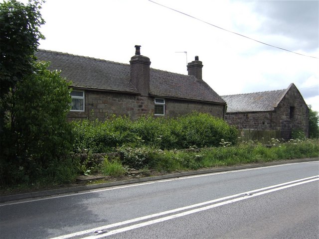
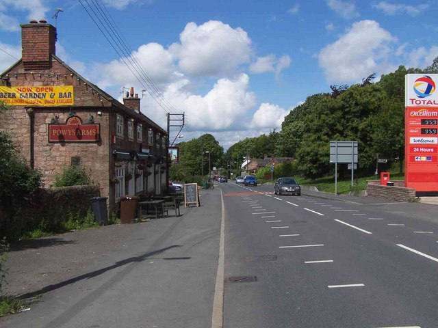
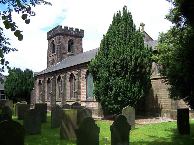
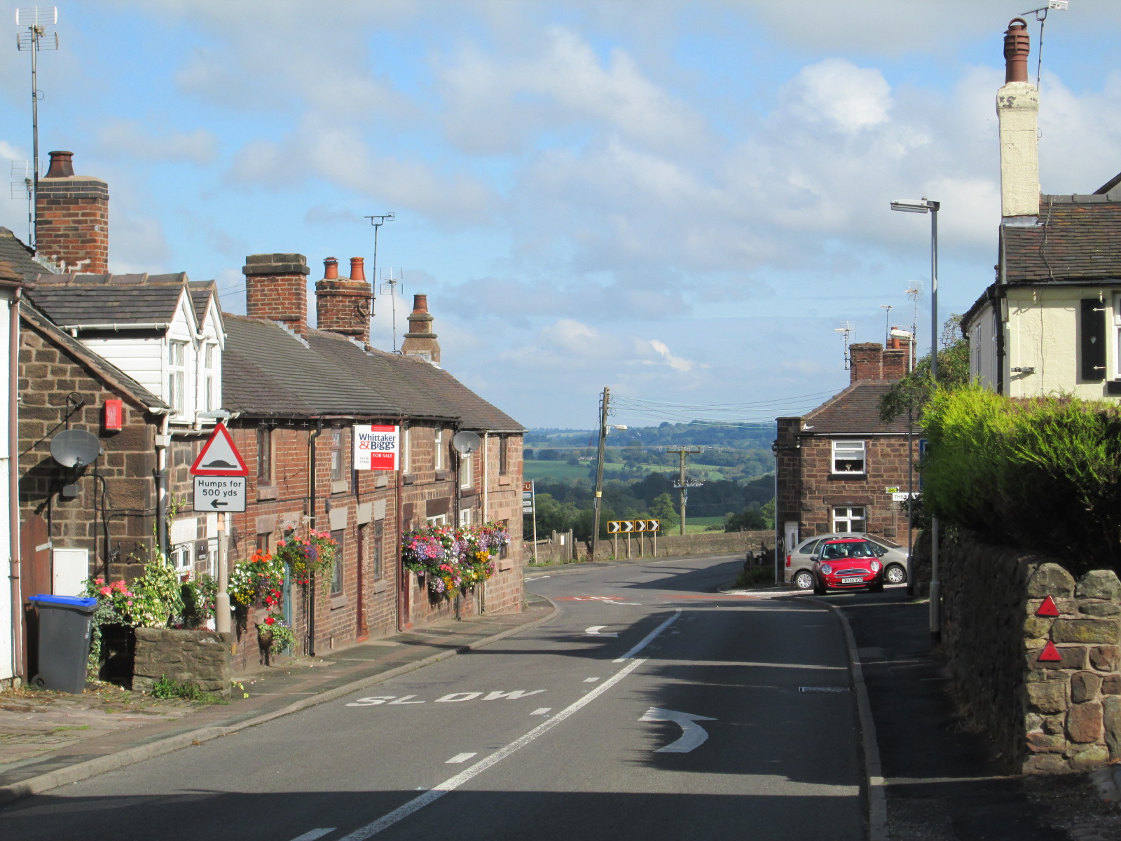
Overmoor Images

Images are sourced within 2km of 53.026865/-2.0534697 or Grid Reference SJ9647. Thanks to Geograph Open Source API. All images are credited.

A520 Cellarhead The view entering Cellarhead heading north on the Leek Road (A520).
A520 Cellarhead
The view entering Cellarhead heading north on the Leek Road (A520).
Randles Lane, Wetley Rocks Modern detached bungalows on one side of this lane
Randles Lane, Wetley Rocks
Modern detached bungalows on one side of this lane
Barn at Oakley's Farm Storage for kiln-dried logs and garden buildings rather than animals
Barn at Oakley's Farm
Storage for kiln-dried logs and garden buildings rather than animals
Blakeley Lane Methodist Church Recently sold, so presumably no longer a church.
Blakeley Lane Methodist Church
Recently sold, so presumably no longer a church.
Car park for the Red Cow public house On the A52, Ash Bank Road
Car park for the Red Cow public house
On the A52, Ash Bank Road
Highfields Roadside farmhouse on the A522 just south of Wetley Rocks
Highfields
Roadside farmhouse on the A522 just south of Wetley Rocks
Chapel Glassworks, Cellarhead Glassworks in a converted Primitive Methodist Chapel built in 1870.
Chapel Glassworks, Cellarhead
Glassworks in a converted Primitive Methodist Chapel built in 1870.
Moorside High School, Cellarhead Moorside High School is based in Cellarhead, Werrington. It has around 800 students aged between 11-18.
Moorside High School, Cellarhead
Moorside High School is based in Cellarhead, Werrington. It has around 800 students aged between 11-18.
Hope and Anchor Public House, Cellarhead On the crossroads of Leek Road and Cellarhead Road.
Hope and Anchor Public House, Cellarhead
On the crossroads of Leek Road and Cellarhead Road.
Bowling Green Public House, Cellarhead On the opposite corner to The Hope and Anchor Pub:- <a title="https://www.geograph.org.uk/photo/340659" href="https://www.geograph.org.uk/photo/340659">Link</a>
Bowling Green Public House, Cellarhead
On the opposite corner to The Hope and Anchor Pub:- Link
Cottages at Cellarhead crossroads Where the Leek to Stone and Hanley to Cheadle roads cross is Cellarhead. 
The cottage shown to the left used to be a beer house "The Royal Oak" and opposite it was another called the Red Lion.
On the other side of the road still stand two public houses, the Bowling Green and The Hope and Anchor:-
<a title="https://www.geograph.org.uk/photo/340659" href="https://www.geograph.org.uk/photo/340659">Link</a> 
<a title="https://www.geograph.org.uk/photo/340662" href="https://www.geograph.org.uk/photo/340662">Link</a>

Four corners at the crossroads and four pubs!!
Cottages at Cellarhead crossroads
Where the Leek to Stone and Hanley to Cheadle roads cross is Cellarhead. The cottage shown to the left used to be a beer house "The Royal Oak" and opposite it was another called the Red Lion. On the other side of the road still stand two public houses, the Bowling Green and The Hope and Anchor:- Link Link Four corners at the crossroads and four pubs!!
Bank Top Farm
Bank Top Farm
Little Bank Top Farm
Junction of Tickhill Lane and Bank Top Road
Blakeley Lane Methodist Church Blakeley Lane Methodist Church is part of the Cheadle Circuit
Blakeley Lane Methodist Church
Blakeley Lane Methodist Church is part of the Cheadle Circuit
Richmoorhill Farm
Richmoorhill Farm
Powys Arms, Wetley Rocks
St. John, Wetley Rocks
Show me another place!

Overmoor is located at Grid Ref: SJ9647 (Lat: 53.026865, Lng: -2.0534697)

Administrative County: Staffordshire

District: Staffordshire Moorlands

Police Authority: Staffordshire

What 3 Words

///reach.liked.wobbling. Near Cheddleton, Staffordshire

Nearby Locations

Overmoor Overmoor

Related Wikis

Moorside High School, Werrington

Moorside High School is a coeducational secondary school located in Werrington, Staffordshire. == History == The school was opened in 1939 under the name...

Wetley Rocks

Wetley Rocks is a village in Staffordshire, England, about 2 miles (3.2 km) south of Cheddleton and 6 miles (9.7 km) south of Leek. For population details...

Consall

Consall is a small village situated in the Staffordshire Moorlands, Staffordshire, England. It is approximately 6 miles south of the market town of Leek...

Werrington, Staffordshire

Werrington is a village in the Staffordshire Moorlands district of Staffordshire, England, about 5 miles (8 km) east of Stoke-on-Trent city centre. The...

Nearby Amenities

Located within 500m of 53.026865,-2.0534697
Bus Stop
New Park Cottage
Bus: yes
Naptan AtcoCode: 3800C854301
Naptan Bearing: E
Naptan CommonName: New Park Cottage
Naptan Indicator: Adj
Naptan Landmark: New Park Cottage
Naptan PlusbusZoneRef: STOKEOT
Naptan Street: Kingsley Rd
Naptan Verified: no
Public Transport: platform
Source: naptan_import
Lat/Long: 53.0226032/-2.0534026
Power: pole
Lat/Long: 53.0260853/-2.060178
Power: pole
Lat/Long: 53.027603/-2.0574372
Power: pole
Lat/Long: 53.0270933/-2.0581614
Generator Method: wind_turbine
Generator Source: wind
Power: generator
Lat/Long: 53.0243463/-2.0499208
Direction: 0
Maxspeed: national
Traffic Sign: maxspeed
Lat/Long: 53.0231482/-2.0576146
The data included in this document is from www.openstreetmap.org. The data is made available under ODbL.

Have you been to Overmoor?

Leave your review of Overmoor below (or comments, questions and feedback).