Overmoor

Settlement in Staffordshire Staffordshire Moorlands

England

Overmoor

A520 Cellarhead The view entering Cellarhead heading north on the Leek Road (A520).
A520 Cellarhead Credit: Gordon Griffiths

Overmoor is a small village located in the county of Staffordshire, England. Situated approximately 8 miles southeast of the market town of Stafford, Overmoor is nestled within the picturesque countryside, offering its residents a tranquil and idyllic setting.

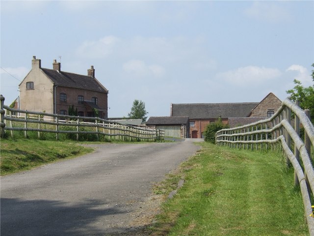
The village is known for its rich history, with evidence of settlements dating back to the Roman era. Overmoor was primarily an agricultural community, with farming playing a significant role in the village's economy for centuries. Today, while agriculture remains an important industry, the village has also seen diversification with the growth of other sectors such as tourism and small-scale businesses.

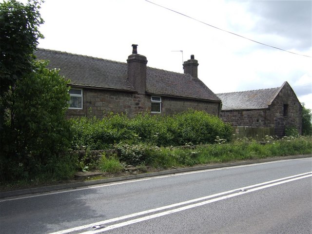
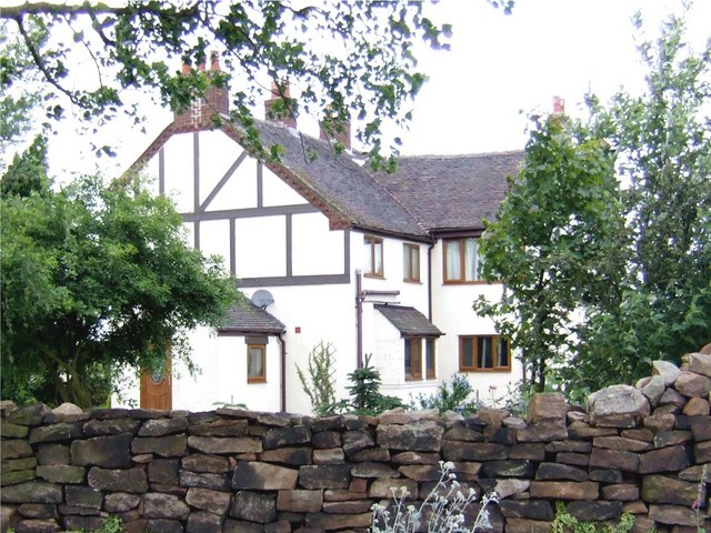
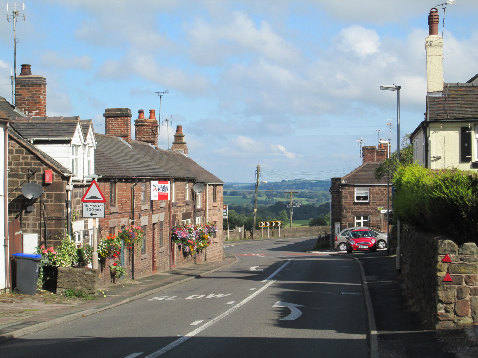
The architecture in Overmoor is predominantly traditional, with charming cottages and farmhouses dotting the landscape. The village boasts a close-knit community, with friendly locals who often engage in various community activities and events. There is a village hall that serves as a hub for social gatherings and meetings, promoting a strong sense of community spirit.

The natural beauty surrounding Overmoor is a major draw for visitors. The village is surrounded by rolling hills, vast meadows, and lush woodlands, offering excellent opportunities for outdoor activities such as hiking, cycling, and birdwatching. Additionally, the nearby Cannock Chase, an Area of Outstanding Natural Beauty, provides further recreational opportunities for nature enthusiasts.

Overmoor may be small in size, but it offers a peaceful and picturesque lifestyle for its residents, making it an attractive place to live for those seeking a rural retreat in the heart of Staffordshire.

If you have any feedback on the listing, please let us know in the comments section below.
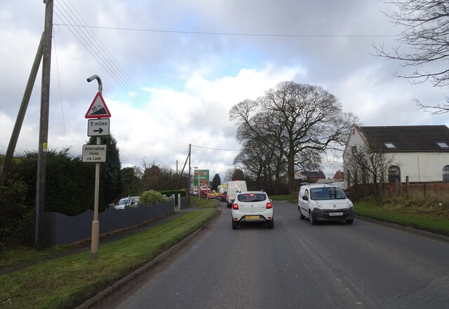
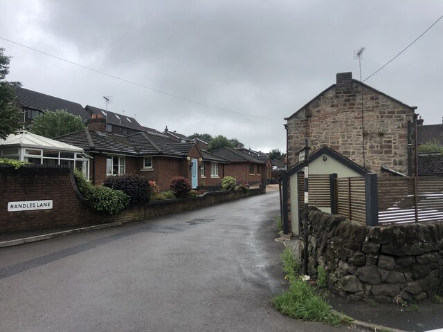
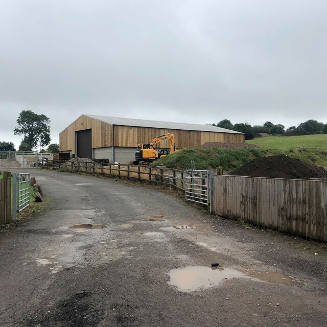
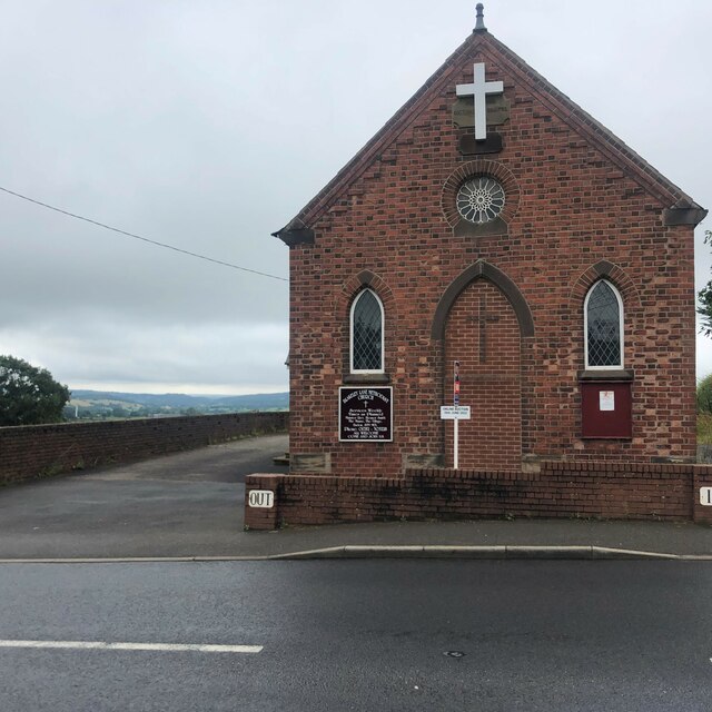
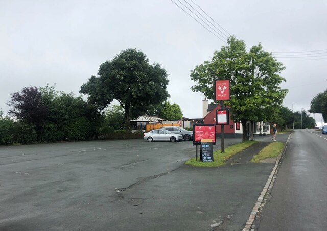
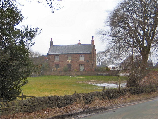
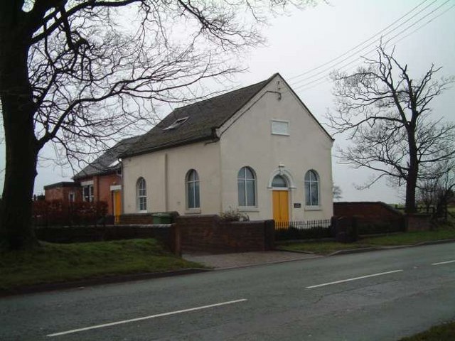
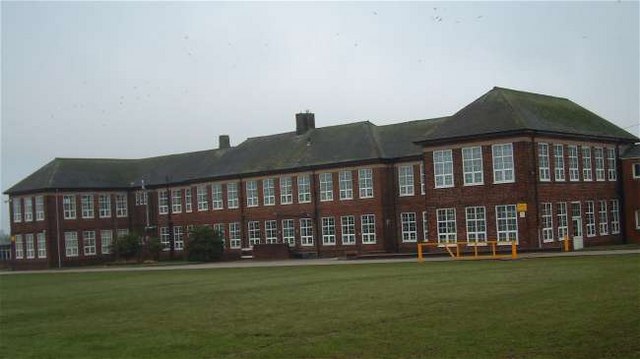
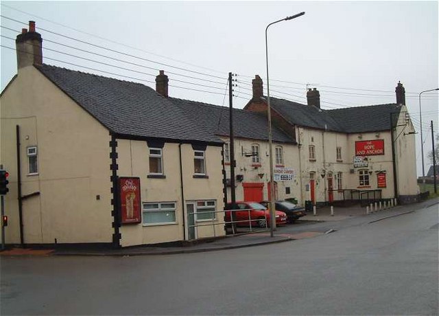
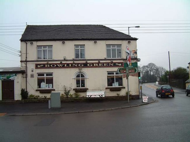
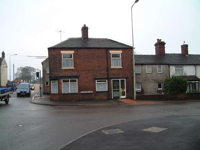
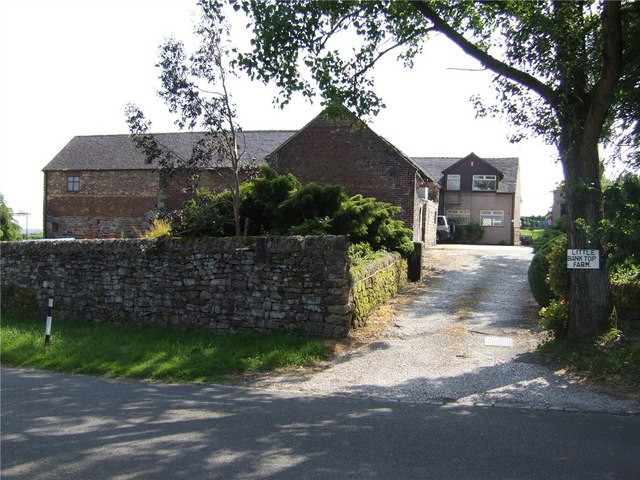
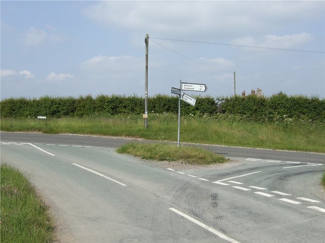
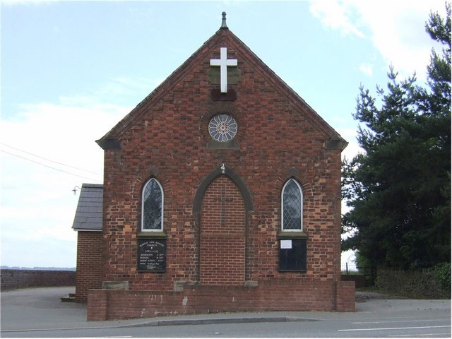
Overmoor Images

Images are sourced within 2km of 53.022244/-2.05483 or Grid Reference SJ9647. Thanks to Geograph Open Source API. All images are credited.

A520 Cellarhead The view entering Cellarhead heading north on the Leek Road (A520).
A520 Cellarhead
The view entering Cellarhead heading north on the Leek Road (A520).
Randles Lane, Wetley Rocks Modern detached bungalows on one side of this lane
Randles Lane, Wetley Rocks
Modern detached bungalows on one side of this lane
Barn at Oakley's Farm Storage for kiln-dried logs and garden buildings rather than animals
Barn at Oakley's Farm
Storage for kiln-dried logs and garden buildings rather than animals
Blakeley Lane Methodist Church Recently sold, so presumably no longer a church.
Blakeley Lane Methodist Church
Recently sold, so presumably no longer a church.
Car park for the Red Cow public house On the A52, Ash Bank Road
Car park for the Red Cow public house
On the A52, Ash Bank Road
Highfields Roadside farmhouse on the A522 just south of Wetley Rocks
Highfields
Roadside farmhouse on the A522 just south of Wetley Rocks
Moorville Hall Hotel Moorville Hall Hotel, Leek Road, Werrington, Ash Bank, Stoke on Trent
Moorville Hall Hotel
Moorville Hall Hotel, Leek Road, Werrington, Ash Bank, Stoke on Trent
Chapel Glassworks, Cellarhead Glassworks in a converted Primitive Methodist Chapel built in 1870.
Chapel Glassworks, Cellarhead
Glassworks in a converted Primitive Methodist Chapel built in 1870.
Moorside High School, Cellarhead Moorside High School is based in Cellarhead, Werrington. It has around 800 students aged between 11-18.
Moorside High School, Cellarhead
Moorside High School is based in Cellarhead, Werrington. It has around 800 students aged between 11-18.
Hope and Anchor Public House, Cellarhead On the crossroads of Leek Road and Cellarhead Road.
Hope and Anchor Public House, Cellarhead
On the crossroads of Leek Road and Cellarhead Road.
Bowling Green Public House, Cellarhead On the opposite corner to The Hope and Anchor Pub:- <a title="https://www.geograph.org.uk/photo/340659" href="https://www.geograph.org.uk/photo/340659">Link</a>
Bowling Green Public House, Cellarhead
On the opposite corner to The Hope and Anchor Pub:- Link
Cottages at Cellarhead crossroads Where the Leek to Stone and Hanley to Cheadle roads cross is Cellarhead. 
The cottage shown to the left used to be a beer house "The Royal Oak" and opposite it was another called the Red Lion.
On the other side of the road still stand two public houses, the Bowling Green and The Hope and Anchor:-
<a title="https://www.geograph.org.uk/photo/340659" href="https://www.geograph.org.uk/photo/340659">Link</a> 
<a title="https://www.geograph.org.uk/photo/340662" href="https://www.geograph.org.uk/photo/340662">Link</a>

Four corners at the crossroads and four pubs!!
Cottages at Cellarhead crossroads
Where the Leek to Stone and Hanley to Cheadle roads cross is Cellarhead. The cottage shown to the left used to be a beer house "The Royal Oak" and opposite it was another called the Red Lion. On the other side of the road still stand two public houses, the Bowling Green and The Hope and Anchor:- Link Link Four corners at the crossroads and four pubs!!
Bank Top Farm
Bank Top Farm
Little Bank Top Farm
Junction of Tickhill Lane and Bank Top Road
Blakeley Lane Methodist Church Blakeley Lane Methodist Church is part of the Cheadle Circuit
Blakeley Lane Methodist Church
Blakeley Lane Methodist Church is part of the Cheadle Circuit
Richmoorhill Farm
Richmoorhill Farm
Summerhill House
Summerhill House
Show me another place!

Overmoor is located at Grid Ref: SJ9647 (Lat: 53.022244, Lng: -2.05483)

Administrative County: Staffordshire

District: Staffordshire Moorlands

Police Authority: Staffordshire

What 3 Words

///tell.garden.reassured. Near Cheddleton, Staffordshire

Nearby Locations

Overmoor Overmoor

Related Wikis

Moorside High School, Werrington

Moorside High School is a coeducational secondary school located in Werrington, Staffordshire. == History == The school was opened in 1939 under the name...

Wetley Rocks

Wetley Rocks is a village in Staffordshire, England, about 2 miles (3.2 km) south of Cheddleton and 6 miles (9.7 km) south of Leek. For population details...

Consall

Consall is a small village situated in the Staffordshire Moorlands, Staffordshire, England. It is approximately 6 miles south of the market town of Leek...

HM Prison Werrington

HMYOI Werrington (also known as Werrington Juvenile Centre) is a male juveniles' prison located in the village of Werrington in Staffordshire, England...

Werrington, Staffordshire

Werrington is a village in the Staffordshire Moorlands district of Staffordshire, England, about 5 miles (8 km) east of Stoke-on-Trent city centre. The...

Dilhorne Park railway station

Dilhorne Park railway station is a heritage railway station in Staffordshire on the Foxfield Railway. The station is a halt set in woodland, and at 760...

Armshead

Armshead is a village in Staffordshire, England. Population details for the 2011 census can be found under Cheddleton.

Ash Bank

Ash Bank is a small village in Stoke-on-Trent near to Werrington. Located in the village is Ash Hall, an 1830s mansion built by Broad Street Pottery Works...

Nearby Amenities

Located within 500m of 53.022244,-2.05483
Bus Stop
Homestead Farm
Bus: yes
Naptan AtcoCode: 3800C854201
Naptan Bearing: E
Naptan CommonName: Homestead Farm
Naptan Indicator: Adj
Naptan Landmark: Homestead Farm
Naptan PlusbusZoneRef: STOKEOT
Naptan Street: Kingsley Rd
Naptan Verified: no
Public Transport: platform
Source: naptan_import
Lat/Long: 53.0236622/-2.0597729
Bus Stop
Somerset View
Bus: yes
Naptan AtcoCode: 3800C854202
Naptan Bearing: W
Naptan CommonName: Somerset View
Naptan Indicator: Adj
Naptan Landmark: Somerset View
Naptan PlusbusZoneRef: STOKEOT
Naptan Street: Kingsley Rd
Naptan Verified: no
Public Transport: platform
Source: naptan_import
Lat/Long: 53.0235483/-2.0597144
Bus Stop
New Park Cottage
Bus: yes
Naptan AtcoCode: 3800C854301
Naptan Bearing: E
Naptan CommonName: New Park Cottage
Naptan Indicator: Adj
Naptan Landmark: New Park Cottage
Naptan PlusbusZoneRef: STOKEOT
Naptan Street: Kingsley Rd
Naptan Verified: no
Public Transport: platform
Source: naptan_import
Lat/Long: 53.0226032/-2.0534026
Generator Method: wind_turbine
Generator Source: wind
Power: generator
Lat/Long: 53.0243463/-2.0499208
Direction: 0
Maxspeed: national
Traffic Sign: maxspeed
Lat/Long: 53.0210749/-2.0480128
Direction: 180
Maxspeed: 40 mph
Traffic Sign: maxspeed
Lat/Long: 53.0210636/-2.0480149
Direction: 290
Maxspeed: 40 mph
Traffic Sign: maxspeed
Lat/Long: 53.0217589/-2.0503315
Direction: 120
Maxspeed: 50 mph
Traffic Sign: maxspeed
Lat/Long: 53.0217552/-2.0503194
Direction: 290
Maxspeed: 40 mph
Traffic Sign: maxspeed
Lat/Long: 53.0216823/-2.0503891
Direction: 120
Maxspeed: 50 mph
Traffic Sign: maxspeed
Lat/Long: 53.0216787/-2.050377
Direction: 0
Maxspeed: national
Traffic Sign: maxspeed
Lat/Long: 53.0231482/-2.0576146
Direction: 0
Maxspeed: national
Traffic Sign: maxspeed
Lat/Long: 53.0231579/-2.0577414
Cellarhead
Direction: 90
Traffic Sign: city_limit
Lat/Long: 53.0231805/-2.0578688
The data included in this document is from www.openstreetmap.org. The data is made available under ODbL.

Have you been to Overmoor?

Leave your review of Overmoor below (or comments, questions and feedback).