Percyhorner Wood
Downs, Moorland in Aberdeenshire
Scotland
Percyhorner Wood

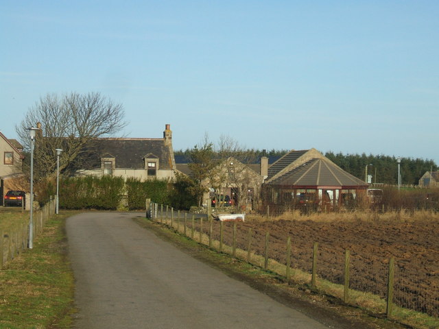
Percyhorner Wood is a charming natural area located in Aberdeenshire, Scotland. Set amidst a picturesque landscape, the wood is situated on the Downs, a region known for its diverse flora and fauna. The wood covers a considerable expanse of moorland, adding to its wild and untamed beauty.
The wood itself is a haven for nature enthusiasts and outdoor lovers, offering a tranquil escape from the hustle and bustle of daily life. The trees that dominate the area are mainly indigenous species, such as Scots pine and birch, creating a rich and authentic Scottish woodland experience. The lush undergrowth is home to a variety of plant species, including heather, ferns, and wildflowers, adding vibrant colors to the landscape.
Visitors to Percyhorner Wood can expect to encounter a wide array of wildlife. The area is particularly renowned for its bird population, with species like red grouse, curlews, and golden eagles frequently spotted. The wood is also home to mammals such as red deer, mountain hares, and foxes, making it an ideal spot for wildlife enthusiasts and photographers.
The wood is easily accessible, with several walking trails winding through its enchanting surroundings. These well-maintained paths offer visitors the opportunity to explore the wood at their own pace, allowing for a truly immersive experience in nature. Whether it's a leisurely stroll or a more challenging hike, Percyhorner Wood offers something for everyone.
Overall, Percyhorner Wood is a hidden gem in Aberdeenshire, offering a unique combination of moorland and woodland. Its natural beauty, diverse wildlife, and accessible trails make it a must-visit destination for those seeking a peaceful and rejuvenating outdoor experience.
If you have any feedback on the listing, please let us know in the comments section below.
Percyhorner Wood Images
Images are sourced within 2km of 57.674743/-2.0631256 or Grid Reference NJ9664. Thanks to Geograph Open Source API. All images are credited.


Percyhorner Wood is located at Grid Ref: NJ9664 (Lat: 57.674743, Lng: -2.0631256)
Unitary Authority: Aberdeenshire
Police Authority: North East
What 3 Words
///northward.bunks.chills. Near Fraserburgh, Aberdeenshire
Nearby Locations
Related Wikis

Banff and Buchan College
Banff and Buchan College was until 1 November 2013 the name of the further education institution in Aberdeenshire, Scotland. In November 2013, Banff &...

Sandhaven
Sandhaven is a small fishing village in Aberdeenshire, Scotland, which lies between Rosehearty to the west and Fraserburgh to the east. It is joined to...
Fraserburgh United F.C.
Fraserburgh United Football Club are a Scottish football club from the town of Fraserburgh, Aberdeenshire. Members of the Scottish Junior Football Association...

Pittulie Castle
Pittulie Castle is an oblong tower house probably dating from 1596, half a mile from Pitsligo Castle, Rosehearty, Aberdeenshire, Scotland. It is a scheduled...
Memsie
Memsie, Aberdeenshire, is a small community near Fraserburgh, Scotland. On Memsie Moor there is a very large stone cairn, Memsie Cairn, which has been...

Fraserburgh Hospital
Fraserburgh Hospital is a community hospital in Lochpots Road, Fraserburgh, Scotland. It is managed by NHS Grampian. == History == The facility was established...

Pitsligo
Pitsligo was a coastal parish in the historic county of Aberdeenshire, Scotland, containing the fishing villages of Rosehearty, Pittulie and Sandhaven...
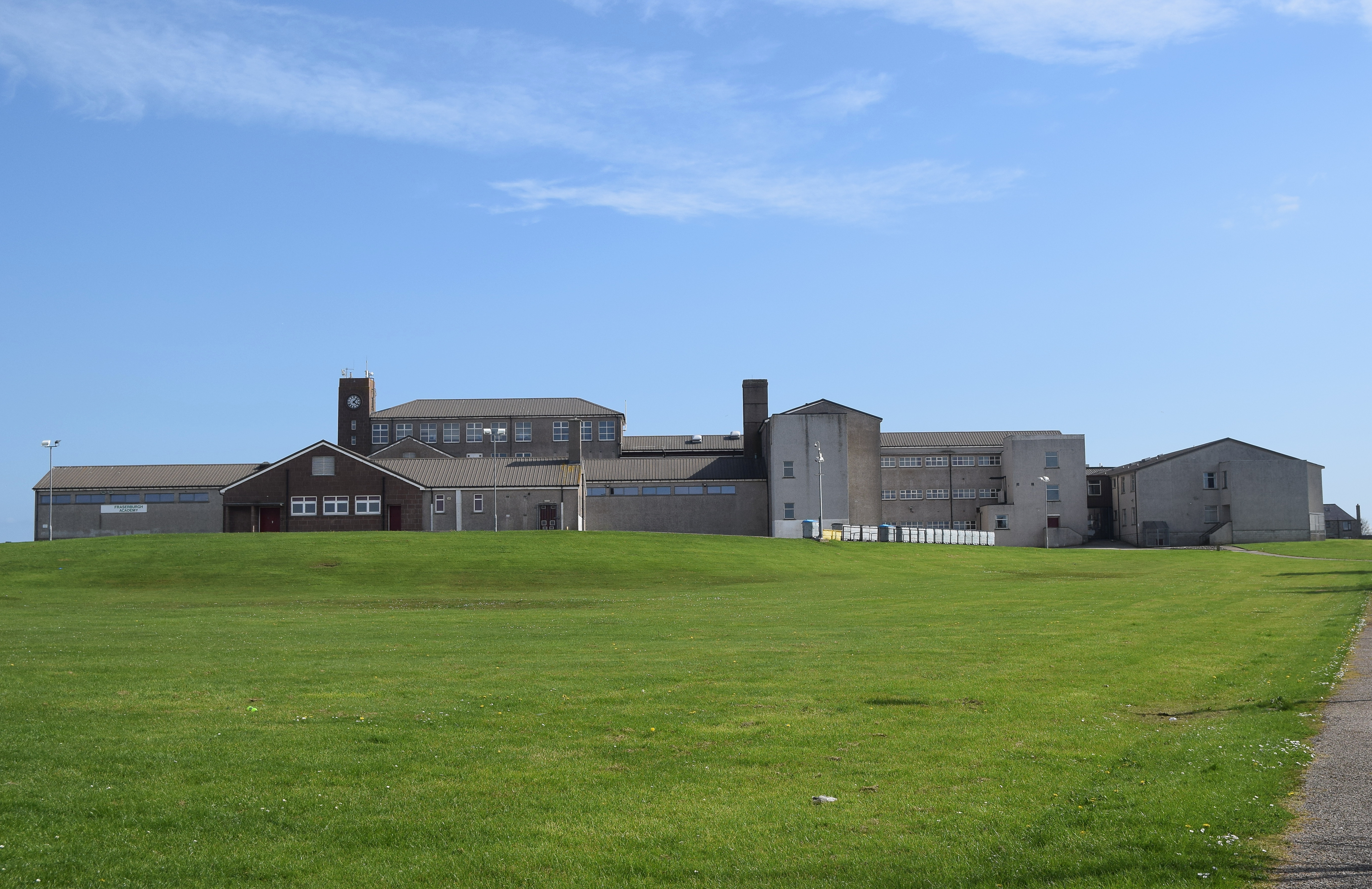
Fraserburgh Academy
Fraserburgh Academy is a secondary school in Fraserburgh, Aberdeenshire. It is one of seventeen schools run by Aberdeenshire Council. The current school...
Nearby Amenities
Located within 500m of 57.674743,-2.0631256Have you been to Percyhorner Wood?
Leave your review of Percyhorner Wood below (or comments, questions and feedback).