Nine Maidens' Hill

Hill, Mountain in Aberdeenshire

Scotland

Nine Maidens' Hill

Triangulation pillar, Roadside, Aberdeenshire
Triangulation pillar, Roadside, Aberdeenshire Credit: Claire Pegrum

Nine Maidens' Hill is a prominent hill located in Aberdeenshire, Scotland. Rising to an elevation of approximately 430 meters (1,411 feet), it is part of the Grampian Mountains range. The hill is situated near the village of Cabrach, about 70 kilometers (43 miles) southwest of Aberdeen.

The name "Nine Maidens' Hill" refers to a nearby stone circle that consists of nine standing stones. Dating back to the Bronze Age, the circle is believed to have served as a ceremonial site or possibly a burial ground. The stones are approximately 1.5 meters (5 feet) in height and are arranged in a circular formation, with one stone slightly offset from the others.

The hill itself offers stunning panoramic views of the surrounding countryside. On a clear day, visitors can enjoy breathtaking vistas of rolling hills, lush farmland, and distant mountain ranges. The landscape is characterized by heather-covered moorland, scattered woodlands, and meandering streams.

Hikers and nature enthusiasts frequent Nine Maidens' Hill, as it provides an excellent opportunity for outdoor activities. There are various walking trails that traverse the hill, catering to different levels of fitness and experience. These routes allow visitors to explore the hill's diverse flora and fauna, including bird species such as red grouse and golden eagles.

Overall, Nine Maidens' Hill is not only a site of archaeological significance but also a picturesque destination for those seeking to immerse themselves in the natural beauty of Aberdeenshire's countryside.

If you have any feedback on the listing, please let us know in the comments section below.

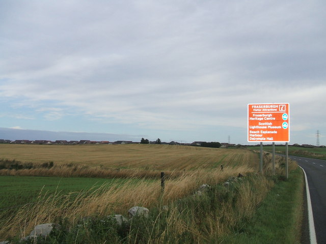
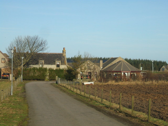
Nine Maidens' Hill Images

Images are sourced within 2km of 57.672132/-2.0571864 or Grid Reference NJ9664. Thanks to Geograph Open Source API. All images are credited.

Triangulation pillar, Roadside, Aberdeenshire
approach to Fraserburgh from Strichen about 3/4 mile from the fraserburgh by-pass road
approach to Fraserburgh from Strichen
about 3/4 mile from the fraserburgh by-pass road
Farmhouse at Chapelton,near Fraserburgh personal note...photographer's home as a farm worker's son 1958/59
Farmhouse at Chapelton,near Fraserburgh
personal note...photographer's home as a farm worker's son 1958/59
Lorry Park on Memsie to Fraserburgh Road Looks like an overspill storage yard for new trailers manufactured by Gray and Adams company of Fraserburgh
Lorry Park on Memsie to Fraserburgh Road
Looks like an overspill storage yard for new trailers manufactured by Gray and Adams company of Fraserburgh
Merryhillock Farm farm plus farm shop just outside Fraserburgh. tidy buildings
Merryhillock Farm
farm plus farm shop just outside Fraserburgh. tidy buildings
Doolie Burn Autumn morning light on fields near Cardno. The Doolie Burn flows between the green field in the foreground and the straw-coloured one beyond. I don't know the origin of the place name on the signpost.
Doolie Burn
Autumn morning light on fields near Cardno. The Doolie Burn flows between the green field in the foreground and the straw-coloured one beyond. I don't know the origin of the place name on the signpost.
Heath-Hill Harvested fields await ploughing near Memsie. There is a sign nearby pointing to 'Heath Hill Hotel' but none of the buildings looks like a hotel in operation.
Heath-Hill
Harvested fields await ploughing near Memsie. There is a sign nearby pointing to 'Heath Hill Hotel' but none of the buildings looks like a hotel in operation.
Craigiebanks Farm.
Craigiebanks Farm.
Path to Hillhead of Pittulie.
Cairnsleed Farm.
Cairnsleed Farm.
A lane to nowhere?
A lane to nowhere?
Roadside sign for Headroom Farm.
North Percyhorner Farm.
House at Milltown of Phingask.
Heath-Hill Hotel, near Memsie former farmstead, converted to pub/restaurant in the 1980's and later extended to being a full hotel.
Heath-Hill Hotel, near Memsie
former farmstead, converted to pub/restaurant in the 1980's and later extended to being a full hotel.
Wester  Cardno Farm
Wester Cardno Farm
Not Traditional Local Livestock!
Bales at Pittendrum Farming and fishing are close together along this coast. These fields are on the outskirts of the fishing village of Sandhaven.
Bales at Pittendrum
Farming and fishing are close together along this coast. These fields are on the outskirts of the fishing village of Sandhaven.
Show me another place!

Nine Maidens' Hill is located at Grid Ref: NJ9664 (Lat: 57.672132, Lng: -2.0571864)

Unitary Authority: Aberdeenshire

Police Authority: North East

What 3 Words

///digests.video.vibe. Near Fraserburgh, Aberdeenshire

Related Wikis

Banff and Buchan College

Banff and Buchan College was until 1 November 2013 the name of the further education institution in Aberdeenshire, Scotland. In November 2013, Banff &...

Fraserburgh United F.C.

Fraserburgh United Football Club are a Scottish football club from the town of Fraserburgh, Aberdeenshire. Members of the Scottish Junior Football Association...

Memsie

Memsie, Aberdeenshire, is a small community near Fraserburgh, Scotland. On Memsie Moor there is a very large stone cairn, Memsie Cairn, which has been...

Sandhaven

Sandhaven is a small fishing village in Aberdeenshire, Scotland, which lies between Rosehearty to the west and Fraserburgh to the east. It is joined to...

Nearby Amenities

Located within 500m of 57.672132,-2.0571864
Power: pole
Lat/Long: 57.6692148/-2.0578605
Power: pole
Lat/Long: 57.6692428/-2.0586652
Power: pole
Lat/Long: 57.6692722/-2.0595261
Power: pole
Lat/Long: 57.669303/-2.0606272
Power: pole
Lat/Long: 57.6681949/-2.0604649
Power: pole
Lat/Long: 57.6687529/-2.0599204
Power: pole
Lat/Long: 57.6693489/-2.0618945
Power: pole
Lat/Long: 57.6693905/-2.0631056
Power: pole
Lat/Long: 57.6745922/-2.0575239
Power: pole
Lat/Long: 57.6748791/-2.0582695
Power: pole
Lat/Long: 57.6751215/-2.0589119
Power: pole
Lat/Long: 57.675414/-2.0596737
Power: pole
Lat/Long: 57.6756822/-2.0604086
Power: pole
Lat/Long: 57.6759555/-2.0610698
Power: pole
Lat/Long: 57.6733372/-2.0493659
Power: pole
Lat/Long: 57.6694112/-2.056313
Power: pole
Lat/Long: 57.6693721/-2.0554295
Power: pole
Lat/Long: 57.6693141/-2.0540401
Power: pole
Lat/Long: 57.6692605/-2.0527633
Power: pole
Lat/Long: 57.6692137/-2.0514365
The data included in this document is from www.openstreetmap.org. The data is made available under ODbL.

Have you been to Nine Maidens' Hill?

Leave your review of Nine Maidens' Hill below (or comments, questions and feedback).