Bewdley Plain
Downs, Moorland in Durham
England
Bewdley Plain
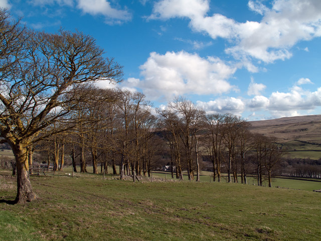
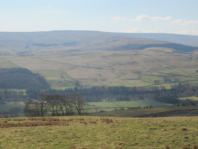
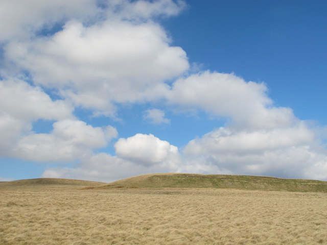
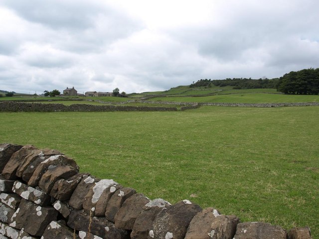
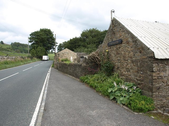
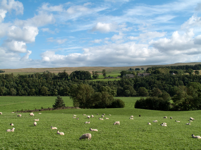
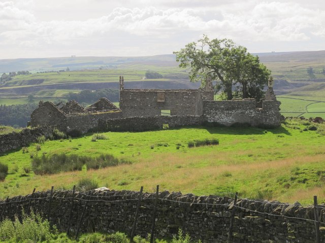
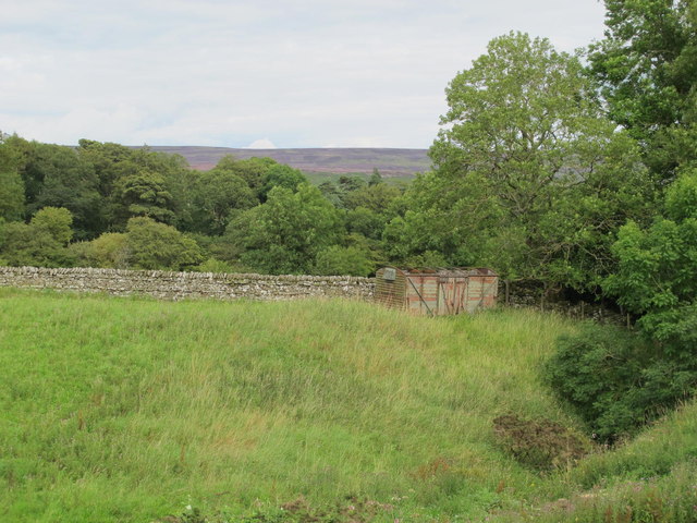
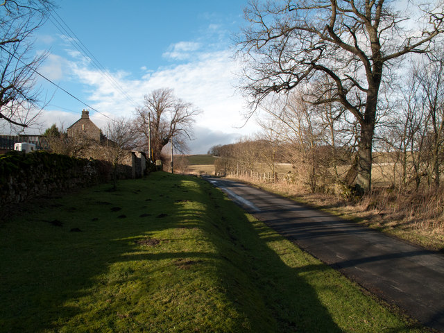
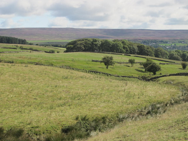
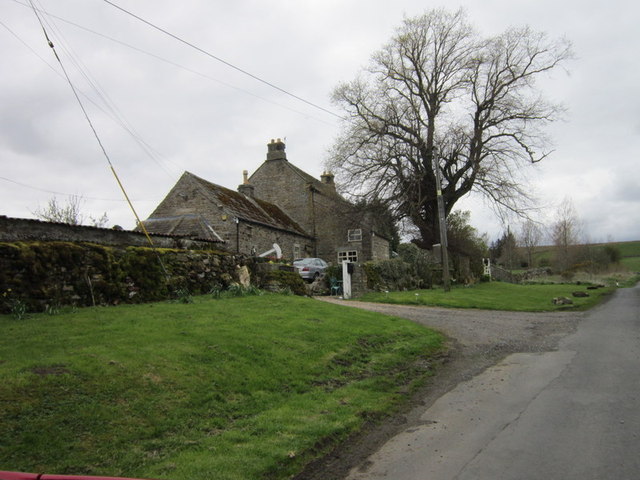
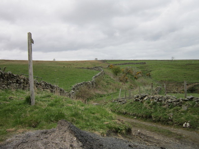
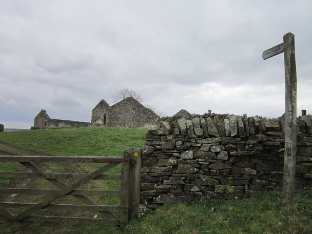
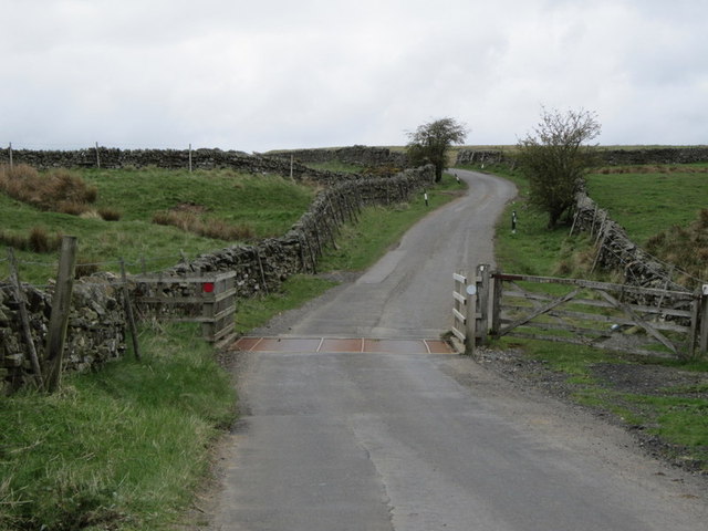
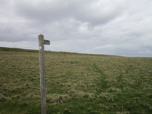
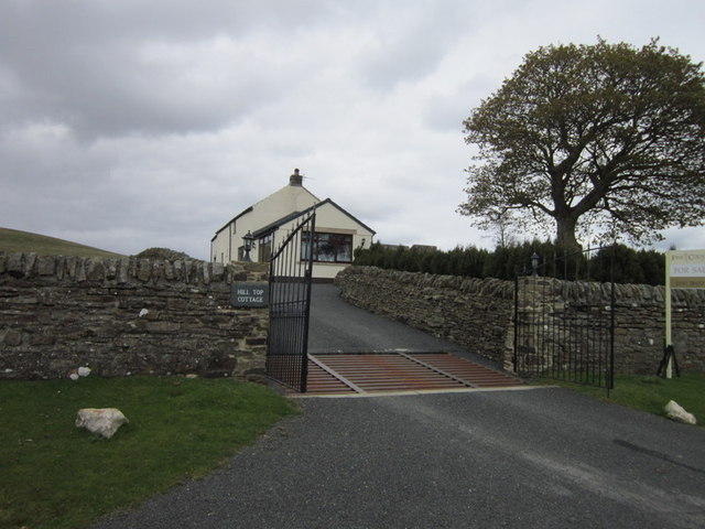
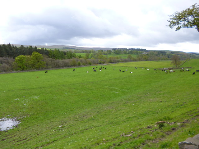
Bewdley Plain is a vast expanse of rolling moorland located in Durham, England. Situated amidst the picturesque landscape of the Durham Dales, this area offers breathtaking views and a tranquil environment. Covering an extensive area of approximately 150 square miles, Bewdley Plain is characterized by its gently undulating terrain, scattered with patches of heather and gorse.
The moorland is predominantly composed of peat, resulting in a rich and fertile soil that supports a diverse range of flora and fauna. Heather, bilberry, and cotton grass are among the common plant species found here, while the abundance of insects and small mammals attract various bird species, including curlews, lapwings, and merlins.
The area is also home to Bewdley Forest, a dense woodland that provides a stark contrast to the open moorland. The forest, predominantly composed of Scots pine and birch trees, offers a haven for wildlife, including roe deer, red squirrels, and various bird species.
Bewdley Plain is a popular destination for outdoor enthusiasts, offering a range of activities such as hiking, cycling, and birdwatching. Numerous footpaths and trails crisscross the area, leading visitors through its scenic beauty and allowing them to explore its hidden corners.
The moorland is managed by the local conservation authorities, who work to preserve its natural beauty and protect its unique ecosystem. They also organize guided walks and events to educate visitors about the importance of conservation and the rich biodiversity of Bewdley Plain.
Overall, Bewdley Plain in Durham is a captivating landscape, offering a blend of open moorland and dense woodland, making it an ideal destination for those seeking a peaceful retreat and a chance to connect with nature.
If you have any feedback on the listing, please let us know in the comments section below.
Bewdley Plain Images
Images are sourced within 2km of 54.754384/-2.0589485 or Grid Reference NY9639. Thanks to Geograph Open Source API. All images are credited.
Bewdley Plain is located at Grid Ref: NY9639 (Lat: 54.754384, Lng: -2.0589485)
Unitary Authority: County Durham
Police Authority: Durham
What 3 Words
///ombudsman.conveys.completed. Near Stanhope, Co. Durham
Nearby Locations
Related Wikis

Horsley Hall
Horsley Hall is a 17th-century country house, now in use as a hotel, near Stanhope, County Durham, England. It is a Grade II listed building. The manor...

Eastgate railway station
Eastgate railway station, also known as Eastgate-in-Weardale, served the village of Eastgate in County Durham, North East England from 1895 to 1953 as...

Eastgate, County Durham
Eastgate is a village in the civil parish of Stanhope, in County Durham, England. It is situated in Weardale, a few miles west of Stanhope. In the 2001...

Greenfoot Quarry
Greenfoot Quarry is a Site of Special Scientific Interest in the Wear Valley district of west County Durham, England. It is a disused quarry, situated...

Rookhope
Rookhope is a village in the civil parish of Stanhope, in County Durham, England. A former lead and fluorspar mining community, it first existed as a group...

West Newlandside Meadows
West Newlandside Meadows is a Site of Special Scientific Interest in the Wear Valley district of County Durham, England. It lies 3 km south-west of the...
Crawley railway station (Durham)
Crawley railway station served the village of Crawleyside, County Durham, England, from 1845 to 1846 on the Stanhope and Tyne Railway. == History == The...

Heathery Burn Cave
Heathery Burn Cave is a cave near Stanhope, County Durham, England, in which a large collection of Late Bronze Age weapons and tools was discovered and...
Nearby Amenities
Located within 500m of 54.754384,-2.0589485Have you been to Bewdley Plain?
Leave your review of Bewdley Plain below (or comments, questions and feedback).