Cockden Hill
Hill, Mountain in Yorkshire
England
Cockden Hill

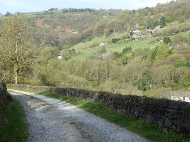
Cockden Hill is a prominent feature located in the Yorkshire Dales, specifically in the county of North Yorkshire, England. Situated near the village of Rathmell, it forms part of the Pennine range and stands at an elevation of 402 meters (1319 feet) above sea level.
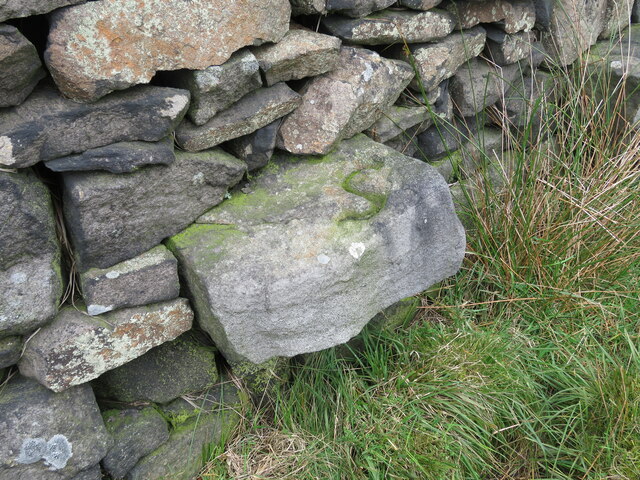
The hill is characterized by its distinctive conical shape, which makes it easily recognizable from the surrounding landscape. It is composed mainly of Millstone Grit, a type of sandstone commonly found in the region. The exposed rock formations on Cockden Hill display layers of sedimentary deposits, providing geologists and nature enthusiasts with valuable insights into the area's geological history.
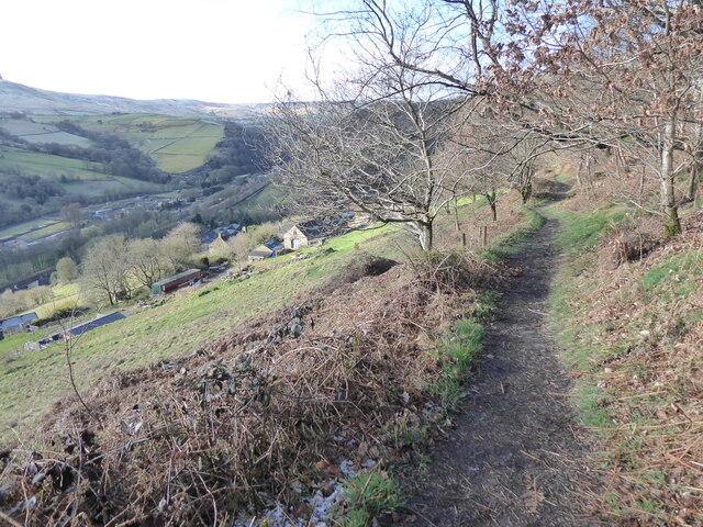
Cockden Hill offers breathtaking panoramic views of the Yorkshire Dales National Park and the surrounding countryside. On a clear day, visitors can see the rolling hills, lush valleys, and picturesque villages spread out beneath them. The hill is also home to a wide variety of flora and fauna, including heather, bilberry, and several bird species such as curlews and skylarks.
Outdoor enthusiasts are drawn to Cockden Hill for its excellent walking and hiking trails. The ascent to the summit is relatively moderate, making it accessible to most fitness levels. At the top, a trig point marks the highest point and acts as a popular spot for visitors to take photographs or simply soak in the stunning vistas.
Cockden Hill is not only a natural landmark but also a significant part of Yorkshire's cultural heritage. Its beauty and serenity make it a cherished destination for locals and tourists alike, providing a perfect opportunity to connect with the stunning natural landscape of the Yorkshire Dales.
If you have any feedback on the listing, please let us know in the comments section below.
Cockden Hill Images
Images are sourced within 2km of 53.726653/-2.0542365 or Grid Reference SD9625. Thanks to Geograph Open Source API. All images are credited.


Cockden Hill is located at Grid Ref: SD9625 (Lat: 53.726653, Lng: -2.0542365)
Division: West Riding
Unitary Authority: Calderdale
Police Authority: West Yorkshire
What 3 Words
///dozen.group.starts. Near Todmorden, West Yorkshire
Nearby Locations
Related Wikis

Eastwood, West Yorkshire
Eastwood is a place within the civil parish of Todmorden and Metropolitan Borough of Calderdale, in West Yorkshire, England. It lies 8 miles (12.9 km)...

Eastwood (L&Y) railway station
Eastwood Railway Station served the village of Eastwood in the civil parish of Todmorden, West Yorkshire, England. The station opened with the line on...

South Pennines Regional Park
The South Pennines Regional Park (or South Pennines Park) is a proposed national park that would cover the South Pennines area in Northern England, encompassing...

Stoodley Pike
Stoodley Pike is a 1,300-foot (400 m) hill in the south Pennines in West Yorkshire in northern England. It is noted for the 121-foot (37 m) Stoodley Pike...

Mankinholes
Mankinholes is a hamlet in the Metropolitan Borough of Calderdale, in West Yorkshire, England. It is situated in the Pennines and the nearest town is Todmorden...

Blackshaw
Blackshaw is a civil parish in the Calderdale metropolitan borough of West Yorkshire, England. It contains the village of Blackshaw Head. According to...

Stansfield Hall railway station
Stansfield Hall railway station (English: ) was the second station in Stansfield, Todmorden in West Yorkshire, England and was situated on the Copy Pit...

Colden, West Yorkshire
Colden is a hamlet in the civil parish of Heptonstall in Calderdale, West Yorkshire, England. Historically part of the West Riding of Yorkshire, the hamlet...
Nearby Amenities
Located within 500m of 53.726653,-2.0542365Have you been to Cockden Hill?
Leave your review of Cockden Hill below (or comments, questions and feedback).