Addlebrough
Hill, Mountain in Yorkshire Richmondshire
England
Addlebrough
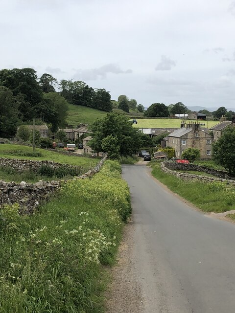
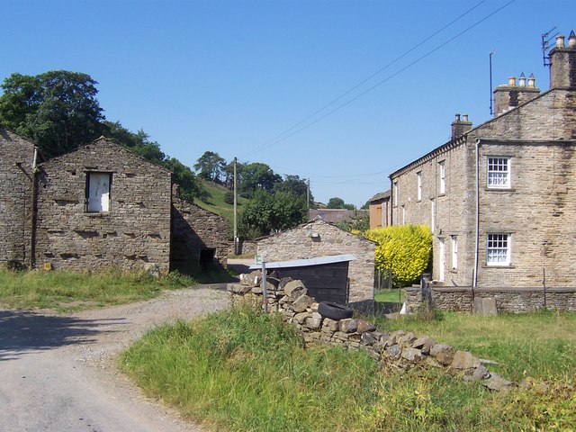
Addlebrough is a prominent hill located in the county of Yorkshire, England. It is situated near the village of Bainbridge, in the heart of the Yorkshire Dales National Park. Rising to a height of approximately 481 meters (1,578 feet), Addlebrough is often referred to as a hill, although some consider it to be a small mountain due to its size and distinctiveness.
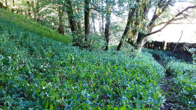
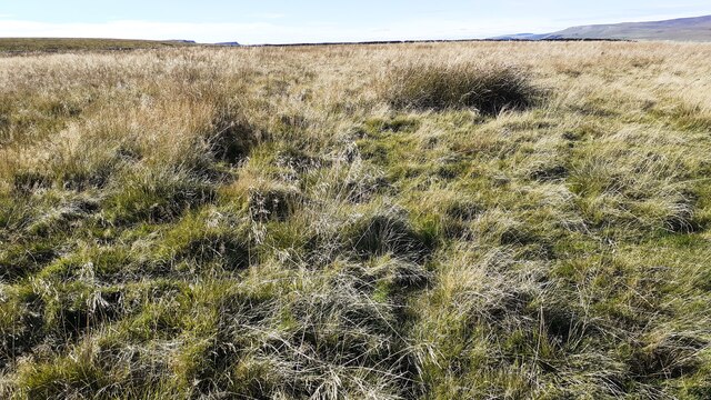
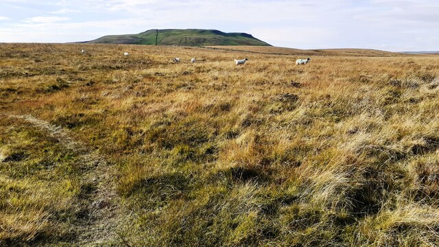
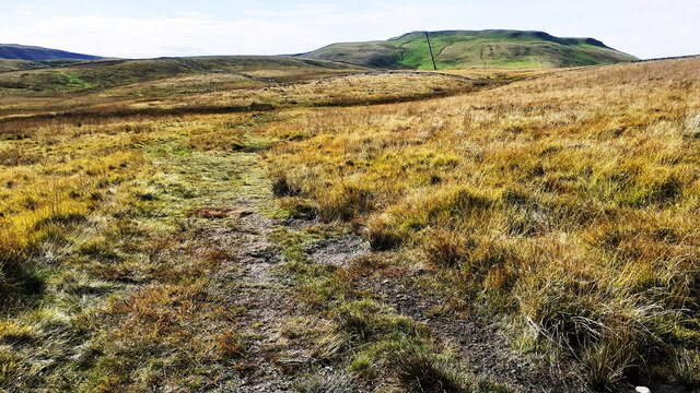
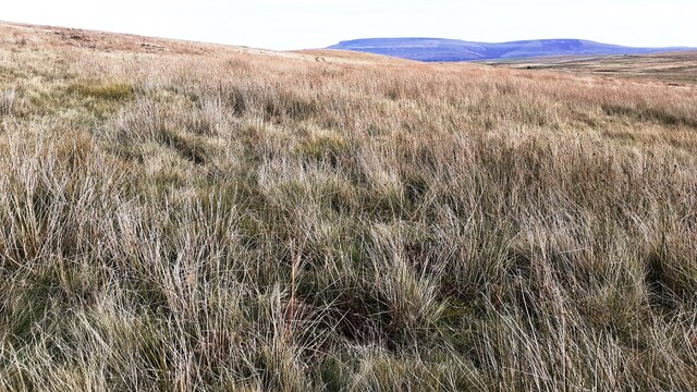
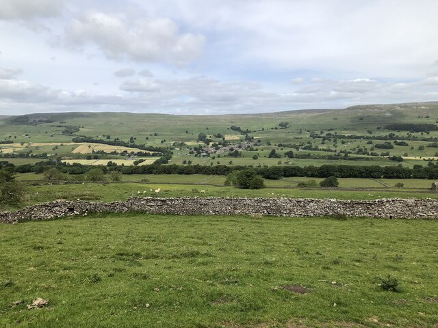
The hill offers breathtaking panoramic views of the surrounding countryside, with its distinctive cone-shaped summit providing a distinctive landmark. Its slopes are covered in lush green vegetation during the summer months, creating a picturesque scene for visitors and locals alike.
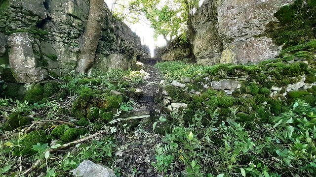
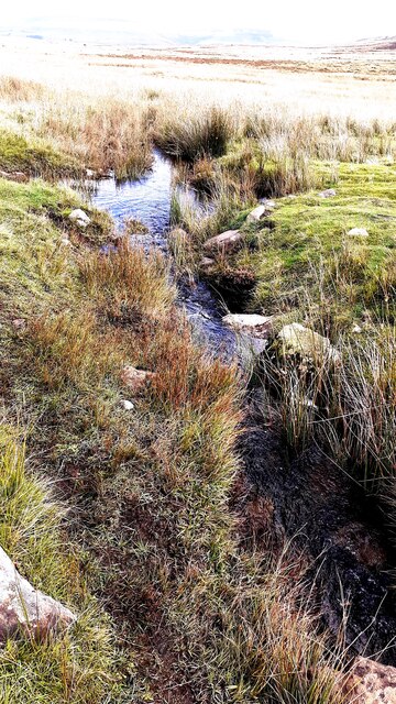
Addlebrough is composed mainly of Carboniferous limestone, which gives it a characteristic pale gray appearance. The hill is also known for its diverse wildlife and flora, with rare plant species such as wild thyme and mountain avens being found in the surrounding area.
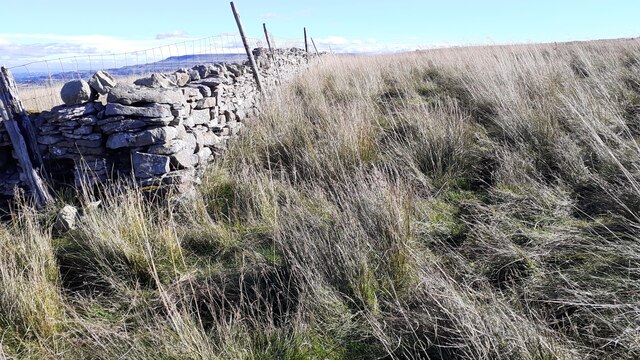
For outdoor enthusiasts, Addlebrough offers numerous walking and hiking trails, allowing visitors to explore its natural beauty and take in the stunning vistas. The ascent to the summit can be challenging, but the effort is rewarded with breathtaking views across the Yorkshire Dales.
Due to its location within the Yorkshire Dales National Park, Addlebrough is a popular destination for nature lovers, hikers, and photographers. Its tranquil and unspoiled surroundings make it an ideal spot for those seeking a peaceful escape from the hustle and bustle of everyday life.
In conclusion, Addlebrough is a remarkable hill/mountain in Yorkshire, offering stunning views, diverse wildlife, and a range of outdoor activities for visitors to enjoy.
If you have any feedback on the listing, please let us know in the comments section below.
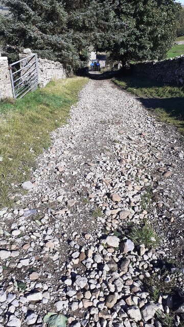
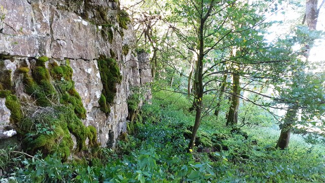
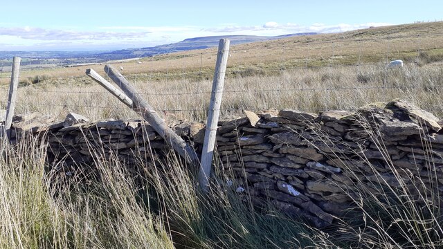
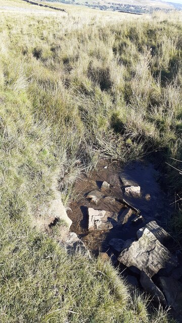
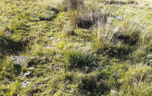
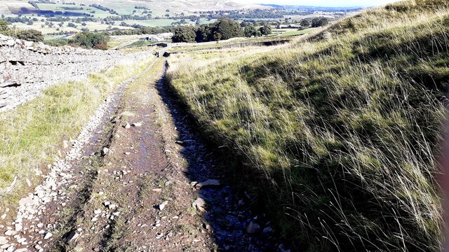
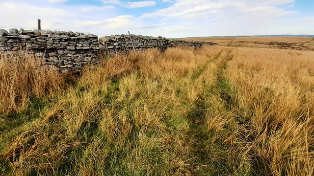
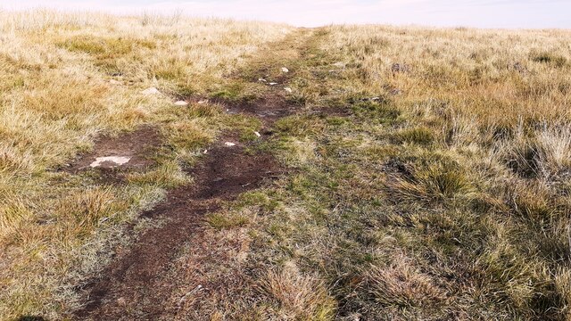
Addlebrough Images
Images are sourced within 2km of 54.288452/-2.086943 or Grid Reference SD9488. Thanks to Geograph Open Source API. All images are credited.
Addlebrough is located at Grid Ref: SD9488 (Lat: 54.288452, Lng: -2.086943)
Division: North Riding
Administrative County: North Yorkshire
District: Richmondshire
Police Authority: North Yorkshire
What 3 Words
///dolly.lower.pull. Near Leyburn, North Yorkshire
Nearby Locations
Related Wikis

Addlebrough
Addlebrough is a fell in Wensleydale, North Yorkshire, England. It is 481 m (1,578 ft) high. Bronze Age inhabitants built homes and enclosures on the fell...
Cubeck
Cubeck is a hamlet in the Richmondshire district of North Yorkshire, England. It is near Thornton Rust and Worton. == External links == Media related...

Virosidum
Virosidum was a Roman fort and settlement situated near to the modern town of Bainbridge, North Yorkshire, England. The site is a Scheduled monument....

River Bain Hydro
The River Bain Hydro is a hydroelectric generator on the River Bain in the village of Bainbridge, North Yorkshire, England. Its screw turbine powers most...

Worton, North Yorkshire
Worton is a hamlet in Wensleydale in the Yorkshire Dales in the Richmondshire district of North Yorkshire, England. It lies 1-mile (1.6 km) east of Bainbridge...

Yorkshire Dales
The Yorkshire Dales are an upland area of the Pennines in England. Most of the area is in the county of North Yorkshire, but it extends into Cumbria and...

Bainbridge, North Yorkshire
Bainbridge is a village and civil parish in North Yorkshire, England. The population of the civil parish at the 2011 census was 480. The village is situated...

Countersett
Countersett is the largest of the three settlements in Raydale, around Semerwater in the Richmondshire district of North Yorkshire, England. It is in the...
Nearby Amenities
Located within 500m of 54.288452,-2.086943Have you been to Addlebrough?
Leave your review of Addlebrough below (or comments, questions and feedback).