Hukermire Moss
Downs, Moorland in Yorkshire Richmondshire
England
Hukermire Moss
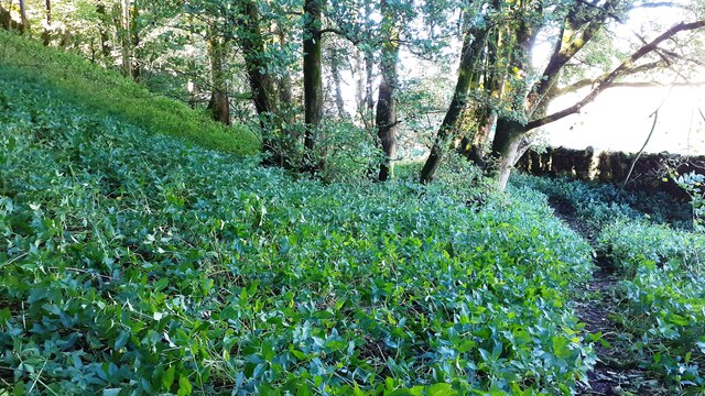
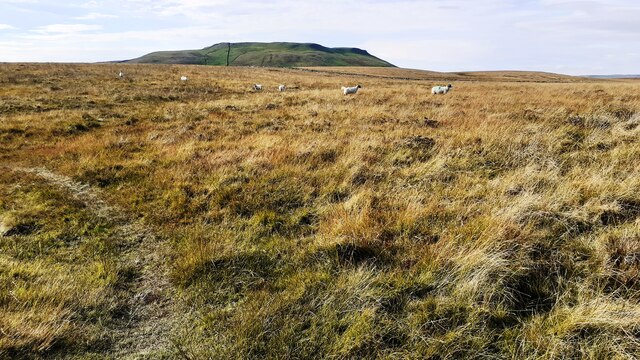
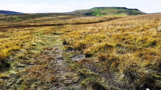
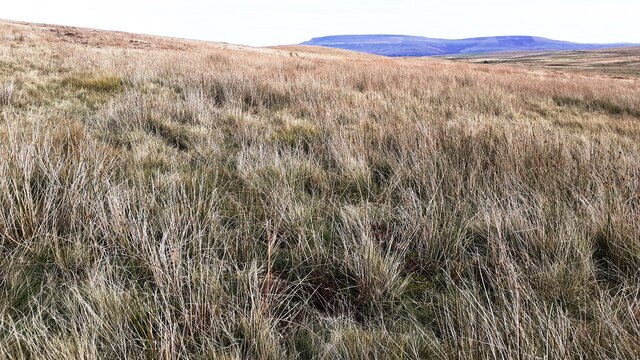
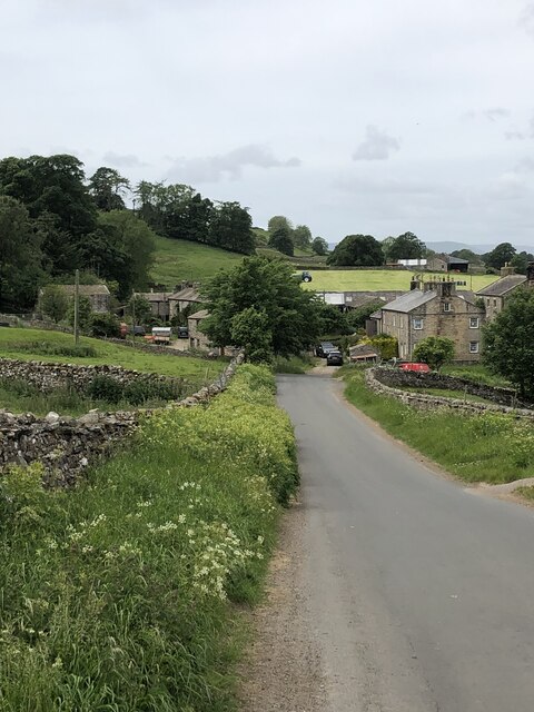
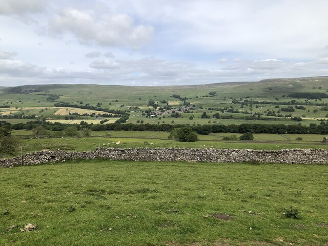
Hukermire Moss is a picturesque and expansive natural area located in Yorkshire, England. Situated within the stunning landscape of the Yorkshire Downs and Moorland, it covers a vast expanse of approximately 200 acres. This beautiful moss is known for its lush greenery, diverse flora, and serene atmosphere.
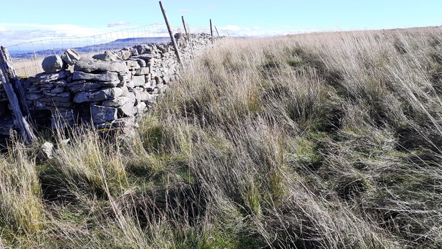
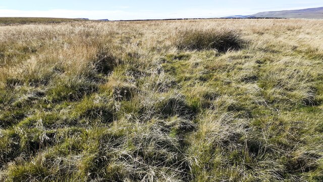
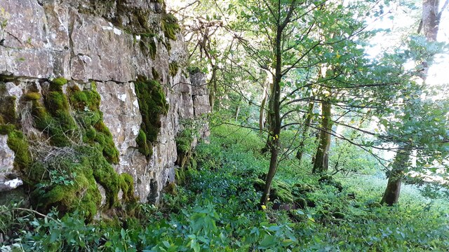
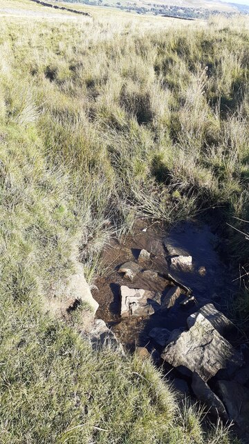
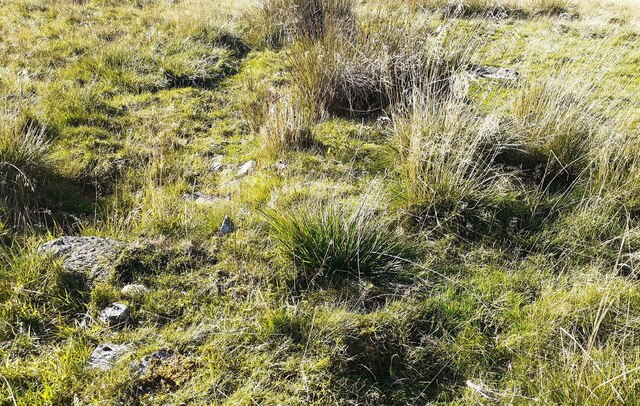
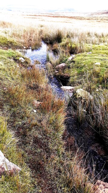
The region boasts a unique ecosystem, with an array of mosses, grasses, and heathers that thrive in the damp, acidic soil. These plants create a carpet-like covering over the ground, giving the moss its distinct appearance. Hukermire Moss also features several small pools and streams, providing a habitat for various species of amphibians and insects.
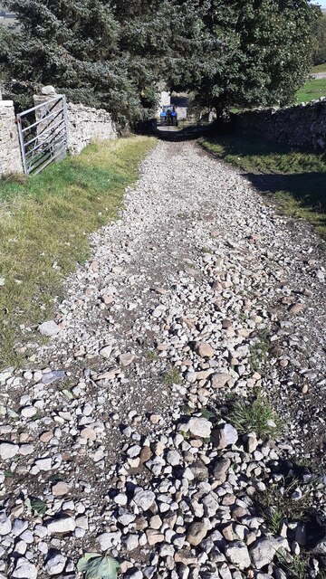
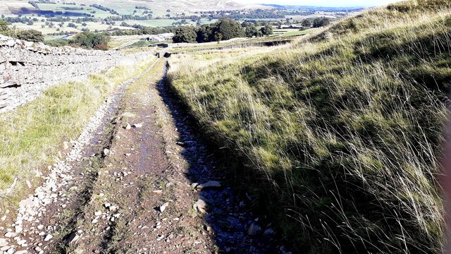
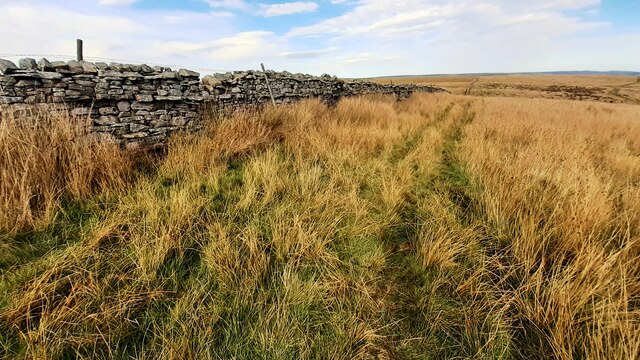
The moss is a popular destination for nature enthusiasts, hikers, and photographers, who flock to the area to appreciate its natural beauty. Its tranquil and untouched surroundings offer a peaceful retreat from the hustle and bustle of daily life. Visitors can explore the moss by following the network of walking paths that wind through the area, offering panoramic views of the surrounding countryside.
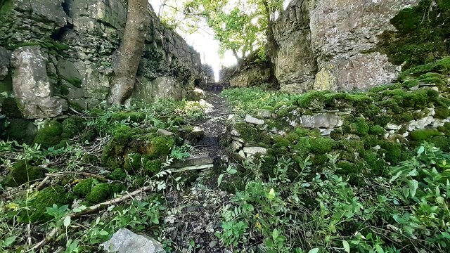
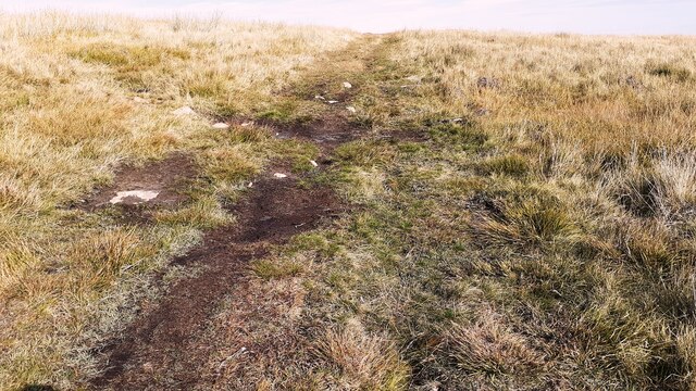
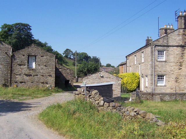
In addition to its natural wonders, Hukermire Moss also has historical significance. It is believed that the area was once used for peat extraction, a practice that dates back centuries. Remnants of these peat-cutting activities can still be seen today, adding to the area's charm and providing a glimpse into its past.
Overall, Hukermire Moss is a captivating destination that showcases the unique beauty of Yorkshire's Downs and Moorland. Its diverse plant life, peaceful ambiance, and historical remnants make it a must-visit location for nature lovers and history enthusiasts alike.
If you have any feedback on the listing, please let us know in the comments section below.
Hukermire Moss Images
Images are sourced within 2km of 54.291417/-2.087364 or Grid Reference SD9488. Thanks to Geograph Open Source API. All images are credited.
Hukermire Moss is located at Grid Ref: SD9488 (Lat: 54.291417, Lng: -2.087364)
Division: North Riding
Administrative County: North Yorkshire
District: Richmondshire
Police Authority: North Yorkshire
What 3 Words
///cello.withdrew.verve. Near Leyburn, North Yorkshire
Nearby Locations
Related Wikis

Addlebrough
Addlebrough is a fell in Wensleydale, North Yorkshire, England. It is 481 m (1,578 ft) high. Bronze Age inhabitants built homes and enclosures on the fell...
Cubeck
Cubeck is a hamlet in the Richmondshire district of North Yorkshire, England. It is near Thornton Rust and Worton. == External links == Media related...

Virosidum
Virosidum was a Roman fort and settlement situated near to the modern town of Bainbridge, North Yorkshire, England. The site is a Scheduled monument....

River Bain Hydro
The River Bain Hydro is a hydroelectric generator on the River Bain in the village of Bainbridge, North Yorkshire, England. Its screw turbine powers most...
Nearby Amenities
Located within 500m of 54.291417,-2.087364Have you been to Hukermire Moss?
Leave your review of Hukermire Moss below (or comments, questions and feedback).