Worton Pasture
Downs, Moorland in Yorkshire Richmondshire
England
Worton Pasture
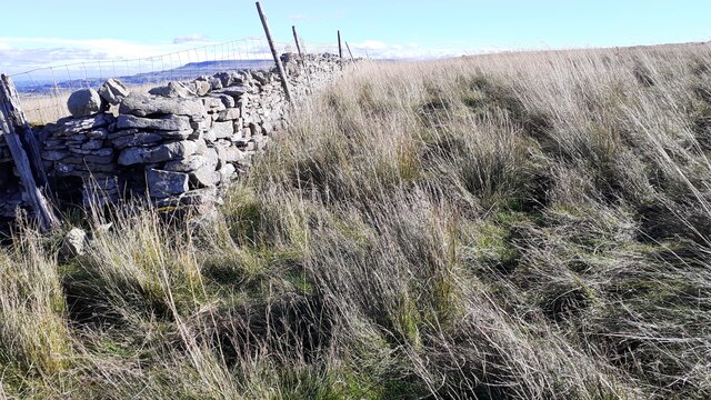
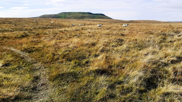
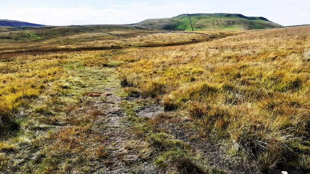
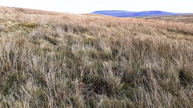
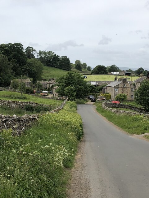
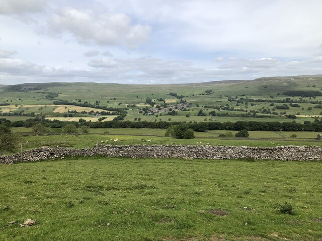
Worton Pasture is a picturesque area located in the county of Yorkshire, England. Situated amidst the stunning Yorkshire Downs and Moorland, it spans across vast expanses of rolling hills and open countryside. The area is renowned for its natural beauty and tranquil atmosphere, making it a popular destination for nature lovers and outdoor enthusiasts.
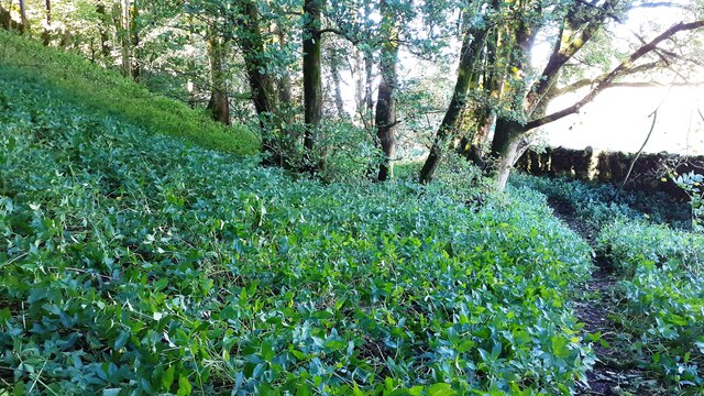
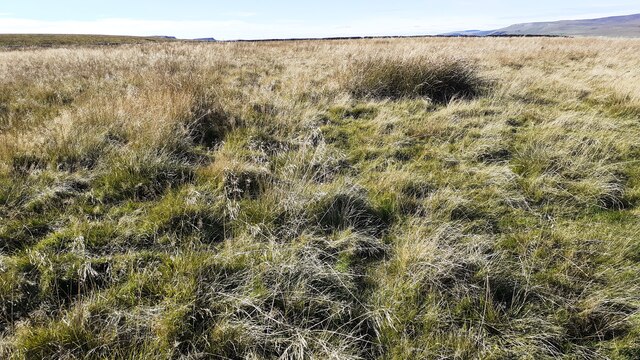
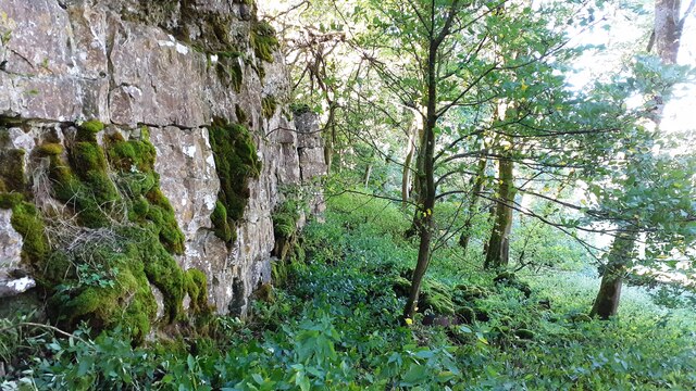
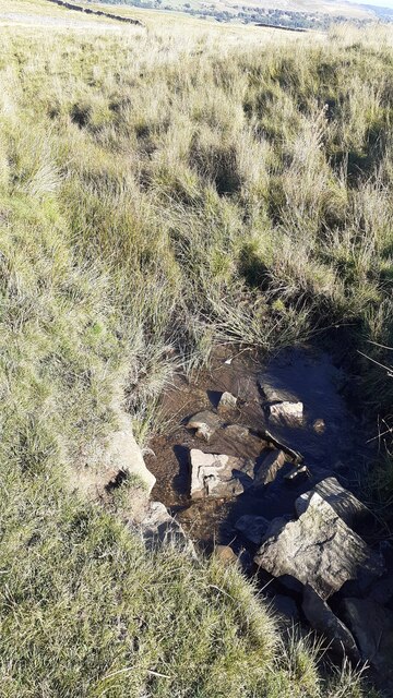
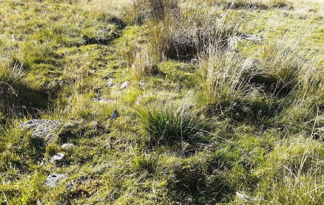
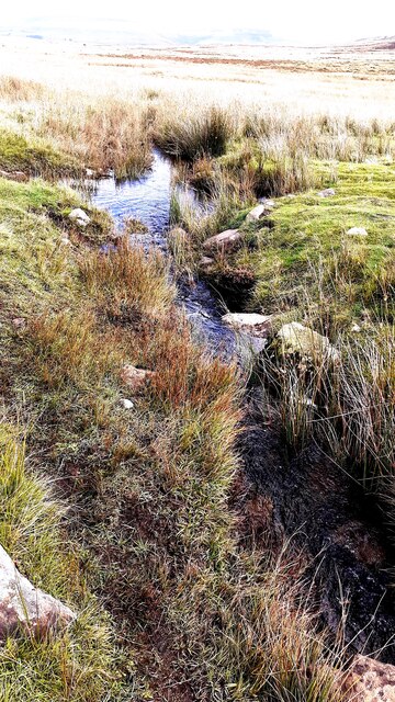
Covered in lush green grass and dotted with wildflowers, Worton Pasture offers breathtaking panoramic views of the surrounding landscape. The gentle slopes and undulating terrain create a sense of serenity and peacefulness, allowing visitors to immerse themselves in the idyllic surroundings. The area is also home to a variety of wildlife, including birds, small mammals, and rare plant species, making it a haven for nature conservation.
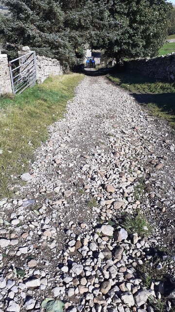
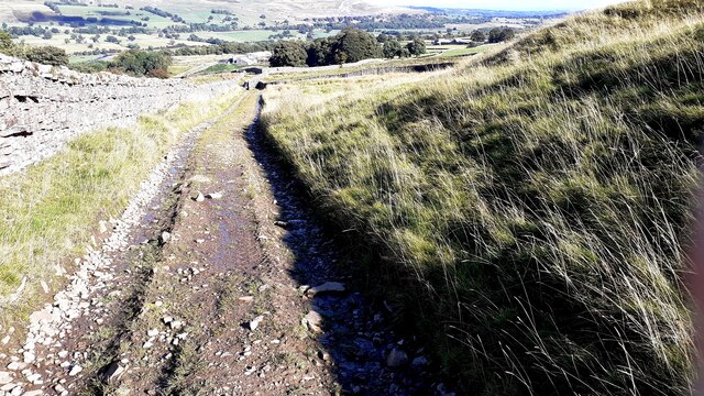
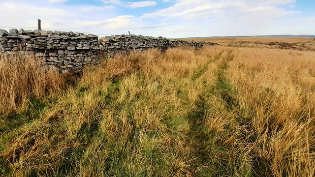
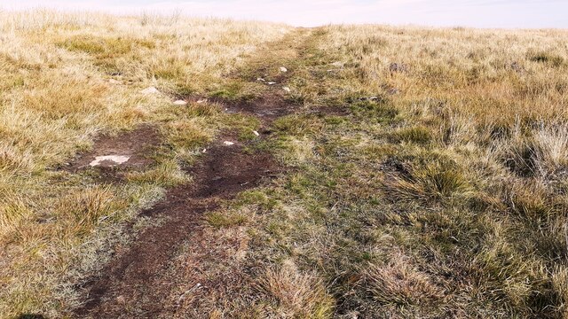
Worton Pasture is a haven for outdoor activities, with numerous walking trails and hiking routes crisscrossing its expanse. Visitors can explore the vast network of paths, taking in the stunning vistas and discovering hidden gems along the way. The area is also popular for birdwatching, as it attracts a wide range of bird species, including kestrels, skylarks, and curlews.
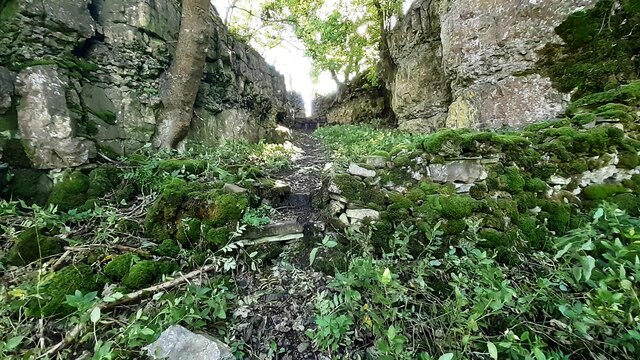
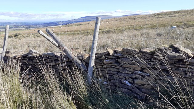
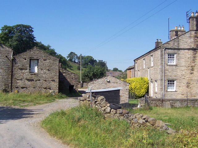
In addition to its natural beauty, Worton Pasture is steeped in history and culture. The area is scattered with ancient archaeological sites, including burial mounds and stone circles, offering a glimpse into the region's rich past. Visitors can delve into the area's heritage by visiting nearby historical landmarks and museums, which showcase the area's history and traditions.
Overall, Worton Pasture in Yorkshire is a captivating destination that blends natural beauty, outdoor activities, and cultural heritage. Whether it's a peaceful stroll through its meandering trails or an exploration of its historical sites, visitors are sure to be enchanted by the charm and allure of this remarkable landscape.
If you have any feedback on the listing, please let us know in the comments section below.
Worton Pasture Images
Images are sourced within 2km of 54.293/-2.0851858 or Grid Reference SD9488. Thanks to Geograph Open Source API. All images are credited.
Worton Pasture is located at Grid Ref: SD9488 (Lat: 54.293, Lng: -2.0851858)
Division: North Riding
Administrative County: North Yorkshire
District: Richmondshire
Police Authority: North Yorkshire
What 3 Words
///hails.summer.regularly. Near Leyburn, North Yorkshire
Nearby Locations
Related Wikis

Addlebrough
Addlebrough is a fell in Wensleydale, North Yorkshire, England. It is 481 m (1,578 ft) high. Bronze Age inhabitants built homes and enclosures on the fell...
Cubeck
Cubeck is a hamlet in the Richmondshire district of North Yorkshire, England. It is near Thornton Rust and Worton. == External links == Media related...

Virosidum
Virosidum was a Roman fort and settlement situated near to the modern town of Bainbridge, North Yorkshire, England. The site is a Scheduled monument....

Worton, North Yorkshire
Worton is a hamlet in Wensleydale in the Yorkshire Dales in the Richmondshire district of North Yorkshire, England. It lies 1-mile (1.6 km) east of Bainbridge...
Nearby Amenities
Located within 500m of 54.293,-2.0851858Have you been to Worton Pasture?
Leave your review of Worton Pasture below (or comments, questions and feedback).