Kettle's Hill
Hill, Mountain in Staffordshire
England
Kettle's Hill
Kettle's Hill, located in Staffordshire, England, is a prominent hill that forms part of the landscape in this picturesque county. Rising to a height of approximately 247 meters (810 feet) above sea level, it is considered one of the notable peaks in the region. Situated within the Cannock Chase Area of Outstanding Natural Beauty, Kettle's Hill offers stunning panoramic views of the surrounding countryside.
The hill is characterized by its gentle slopes and lush greenery, with a combination of grasslands, heathlands, and woodlands covering its slopes. These diverse habitats support a variety of flora and fauna, making it a haven for nature lovers and wildlife enthusiasts. Visitors to Kettle's Hill can expect to encounter a range of species, including birds, butterflies, and small mammals.
For outdoor enthusiasts, Kettle's Hill provides ample opportunities for recreational activities such as hiking and walking. Numerous well-marked trails crisscross the hill, allowing visitors to explore its scenic beauty at their own pace. The hill is also a popular destination for birdwatching, with several species of birds known to inhabit the area.
Kettle's Hill holds historical significance as well. It is believed to have been named after an ancient pot or kettle-shaped burial mound that was once located on its summit. Although the mound itself is no longer visible, it adds an air of mystery and intrigue to the hill's allure.
Overall, Kettle's Hill is a captivating natural landmark that showcases the beauty and diversity of Staffordshire's landscape. Whether it's for outdoor activities, wildlife observation, or simply enjoying the panoramic views, this hill offers a wonderful experience for visitors of all ages.
If you have any feedback on the listing, please let us know in the comments section below.
Kettle's Hill Images
Images are sourced within 2km of 52.523516/-2.0832298 or Grid Reference SO9491. Thanks to Geograph Open Source API. All images are credited.


Kettle's Hill is located at Grid Ref: SO9491 (Lat: 52.523516, Lng: -2.0832298)
Unitary Authority: Dudley
Police Authority: West Midlands
What 3 Words
///grab.glove.rail. Near Tipton, West Midlands
Nearby Locations
Related Wikis

Priory Estate
The Priory Estate is a housing estate in Dudley, West Midlands, England, which has largely been developed since 1929. == History == The Priory Estate is...
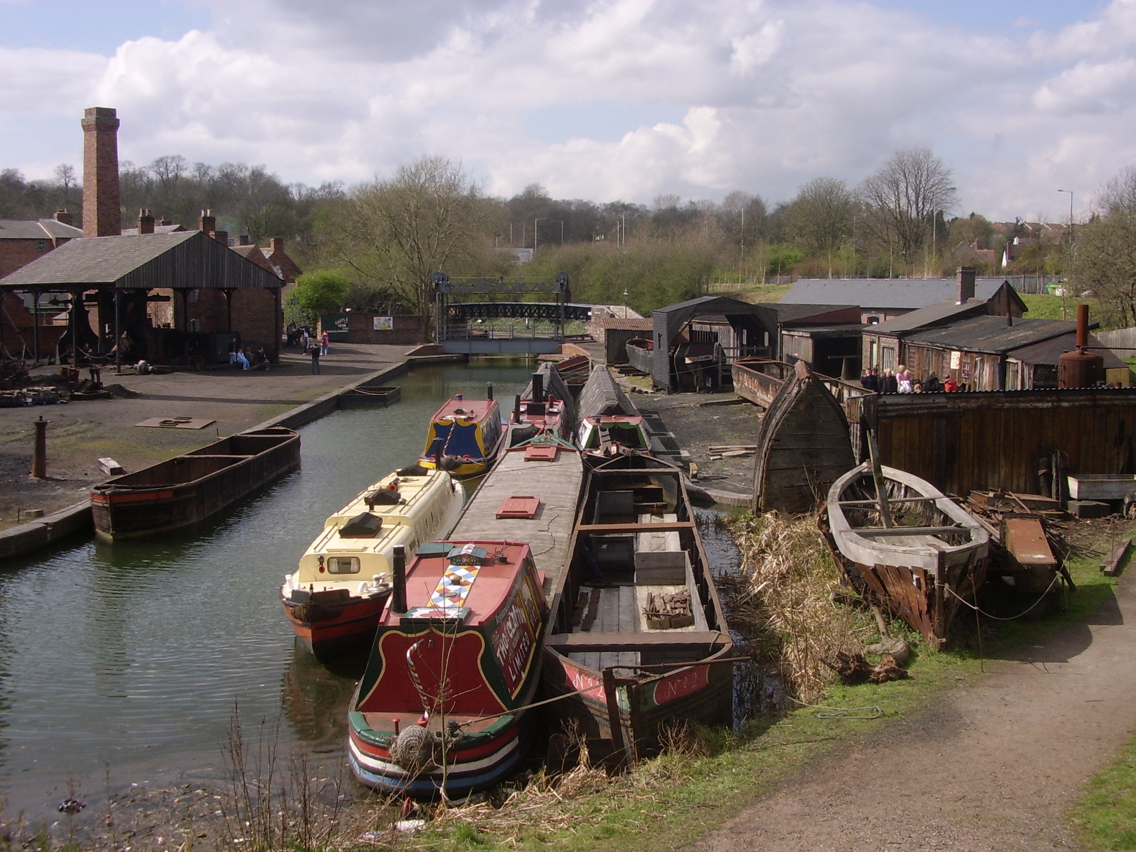
Black Country Living Museum boat dock
The boat dock at the Black Country Living Museum was built in 1976. Like many boat docks in the region its buildings are made out of recycled boat timbers...
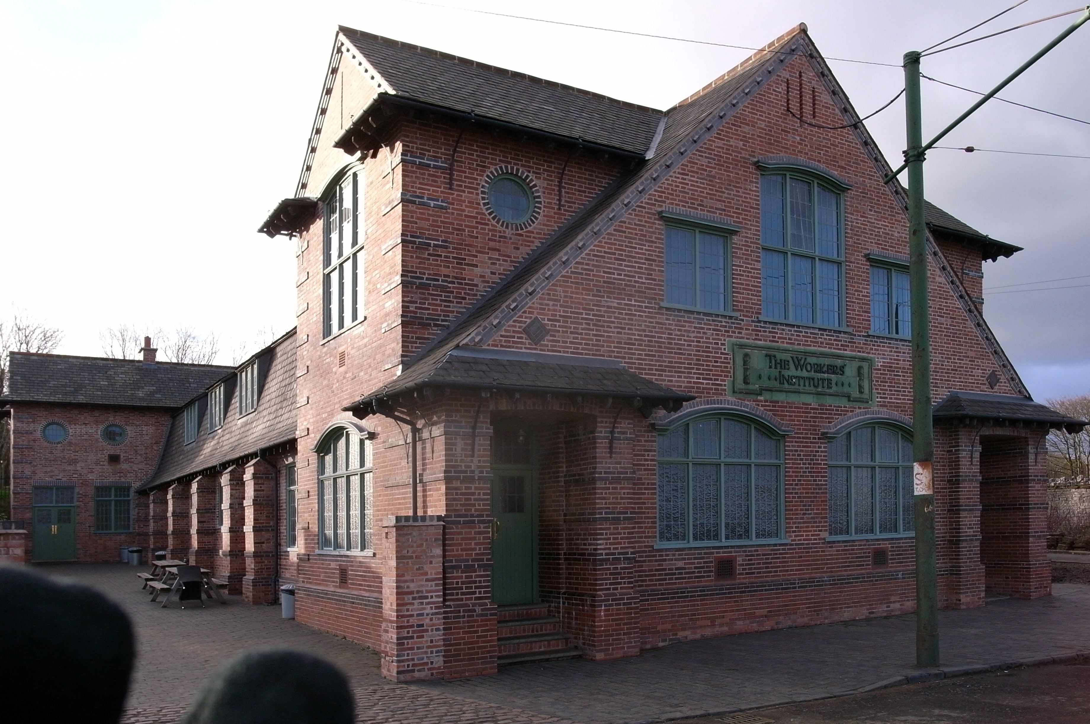
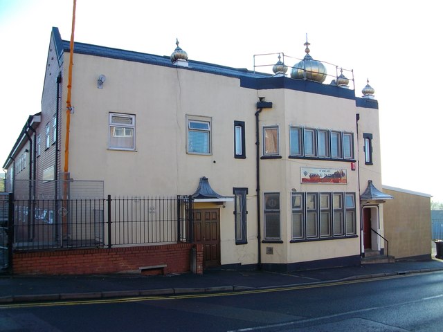
Cradley Heath Workers' Institute
The Cradley Heath Workers' Institute (known locally as the 'Stute') was built between 1911 and 1912 in Lomey Town, Cradley Heath, West Midlands, England...

Emile Doo's Chemist Shop
Emile Doo's Chemist Shop is an exhibition at the Black Country Living Museum in England. It was originally situated at 358 Halesowen Road, Netherton, before...
Nearby Amenities
Located within 500m of 52.523516,-2.0832298Have you been to Kettle's Hill?
Leave your review of Kettle's Hill below (or comments, questions and feedback).