Castle Hill

Hill, Mountain in Lancashire

England

Castle Hill

Wildhouse Lane farm entrance
Wildhouse Lane farm entrance Credit: Colin Pyle

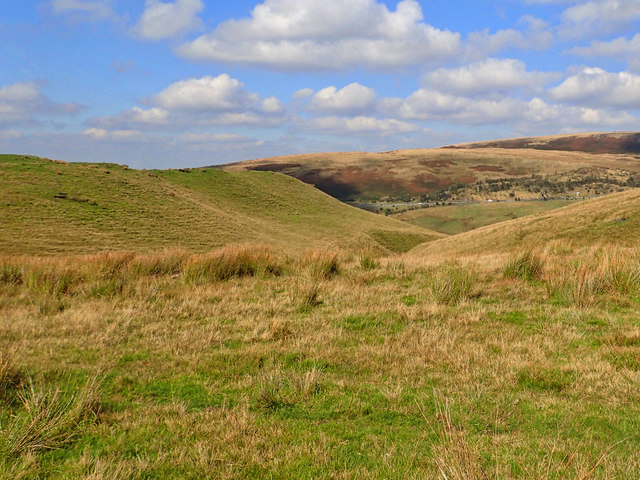
Castle Hill is a prominent hill located in Lancashire, England. Situated in the West Pennine Moors, it is part of the larger Pennine range. Rising to an elevation of 1,191 feet (363 meters), Castle Hill offers breathtaking panoramic views of the surrounding countryside.

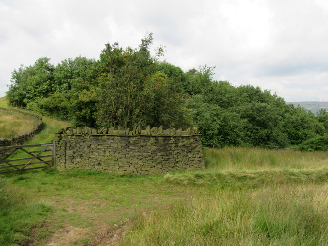
The hill derives its name from the ruins of an ancient hillfort that once stood atop its summit. Believed to have been constructed during the Iron Age, the fortification is now mostly in ruins, with only a few remnants remaining. However, the historical significance of Castle Hill is still evident in the area.

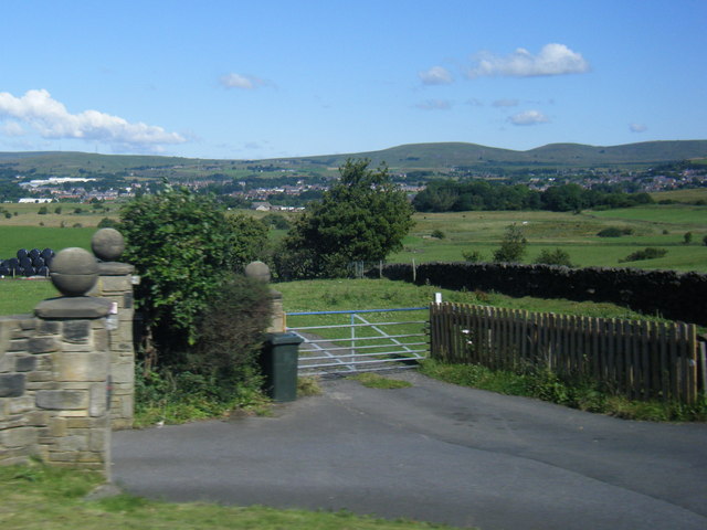
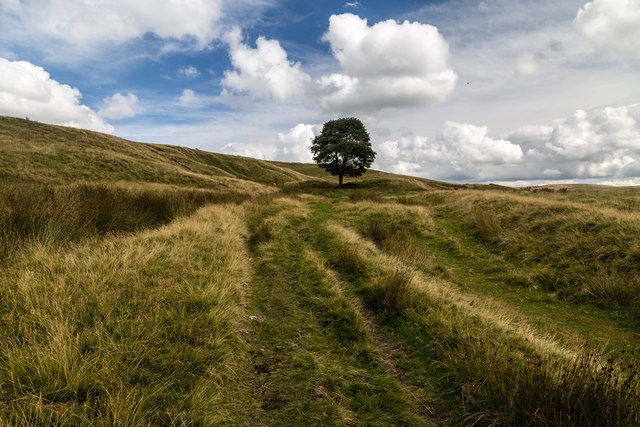
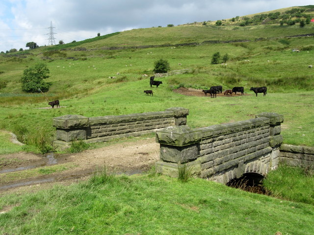
Covered in heather and offering diverse flora and fauna, Castle Hill is a haven for nature enthusiasts and hikers. The hill is crisscrossed by numerous walking trails, providing visitors with an opportunity to explore its scenic beauty. The ascent to the summit can be challenging, but the reward of the breathtaking views makes it worthwhile.

Castle Hill is also known for its wind turbines, which can be seen dotting the landscape. These turbines harness the power of the wind, contributing to the region's renewable energy production.

Additionally, the hill is popular among paragliders, who take advantage of its favorable wind conditions to soar through the skies. On a clear day, the sight of paragliders gracefully gliding above Castle Hill is a common spectacle.

Overall, Castle Hill in Lancashire is a picturesque hill offering a blend of historical significance, natural beauty, and recreational activities. Whether one is interested in history, hiking, or simply enjoying the stunning views, this hill is a must-visit destination.

If you have any feedback on the listing, please let us know in the comments section below.

Castle Hill Images

Images are sourced within 2km of 53.620018/-2.0856803 or Grid Reference SD9413. Thanks to Geograph Open Source API. All images are credited.

Wildhouse Lane farm entrance
Hollingworth Lake with the elevated M62 beyond
Kitcliffe Track above Kitcliffe.
Kitcliffe
Track above Kitcliffe.
Silver birch at Hollingworth Lake Looking north over the lake from a point near the lakeside café.
Silver birch at Hollingworth Lake
Looking north over the lake from a point near the lakeside café.
Hollingworth Lake
Hollingworth Lake
Longden End Brook The brook passes over a gauging weir as it approaches Hollingworth Lake, a popular place for swimming dogs, it seems, though my assistant Madog is staying dry for a change.
Longden End Brook
The brook passes over a gauging weir as it approaches Hollingworth Lake, a popular place for swimming dogs, it seems, though my assistant Madog is staying dry for a change.
Wetland view An extensive reed bed is part of the nature reserve at the southern, shallow end of the reservoir, near to the influx of the Longden End Brook.
Wetland view
An extensive reed bed is part of the nature reserve at the southern, shallow end of the reservoir, near to the influx of the Longden End Brook.
Beach view A view of the southern margin of the reservoir, which is mostly shallow.
Beach view
A view of the southern margin of the reservoir, which is mostly shallow.
Equine traffic Horses taking the path around the lake.
Equine traffic
Horses taking the path around the lake.
Wall and wood Adjacent to the Pennine Bridleway.
Wall and wood
Adjacent to the Pennine Bridleway.
Bridge over Longden End Brook
Looking down into Longden End Brook
Buildings at Lower Ogden
Bulls Head near Lower Ogden
Bird in the Hand, Newhey The pub sign has gone but I don't know whether this means it is closed
Bird in the Hand, Newhey
The pub sign has gone but I don't know whether this means it is closed
Ash tree, Hollingworth Lake There are several trees alongside the lakeside that have been cut about a metre above ground, prompting the production of a large number of thin branches.
Ash tree, Hollingworth Lake
There are several trees alongside the lakeside that have been cut about a metre above ground, prompting the production of a large number of thin branches.
Houses alongside Hollingworth Lake These houses have a good view of the lake, and have access from a residential road behind.
Houses alongside Hollingworth Lake
These houses have a good view of the lake, and have access from a residential road behind.
View from the lakeside path, Hollingworth Lake
Show me another place!

Castle Hill is located at Grid Ref: SD9413 (Lat: 53.620018, Lng: -2.0856803)

Unitary Authority: Rochdale

Police Authority: Greater Manchester

What 3 Words

///forum.parent.circle. Near Milnrow, Manchester

Related Wikis

Rakewood Viaduct

The Rakewood Viaduct carries the M62 motorway over Rakewood Valley and Longden End Brook between junctions 21 and 22 at Littleborough, Greater Manchester...

Tunshill

Tunshill is a hamlet at the northeastern edge of Milnrow, within the Metropolitan Borough of Rochdale, in Greater Manchester, England. It lies amongst...
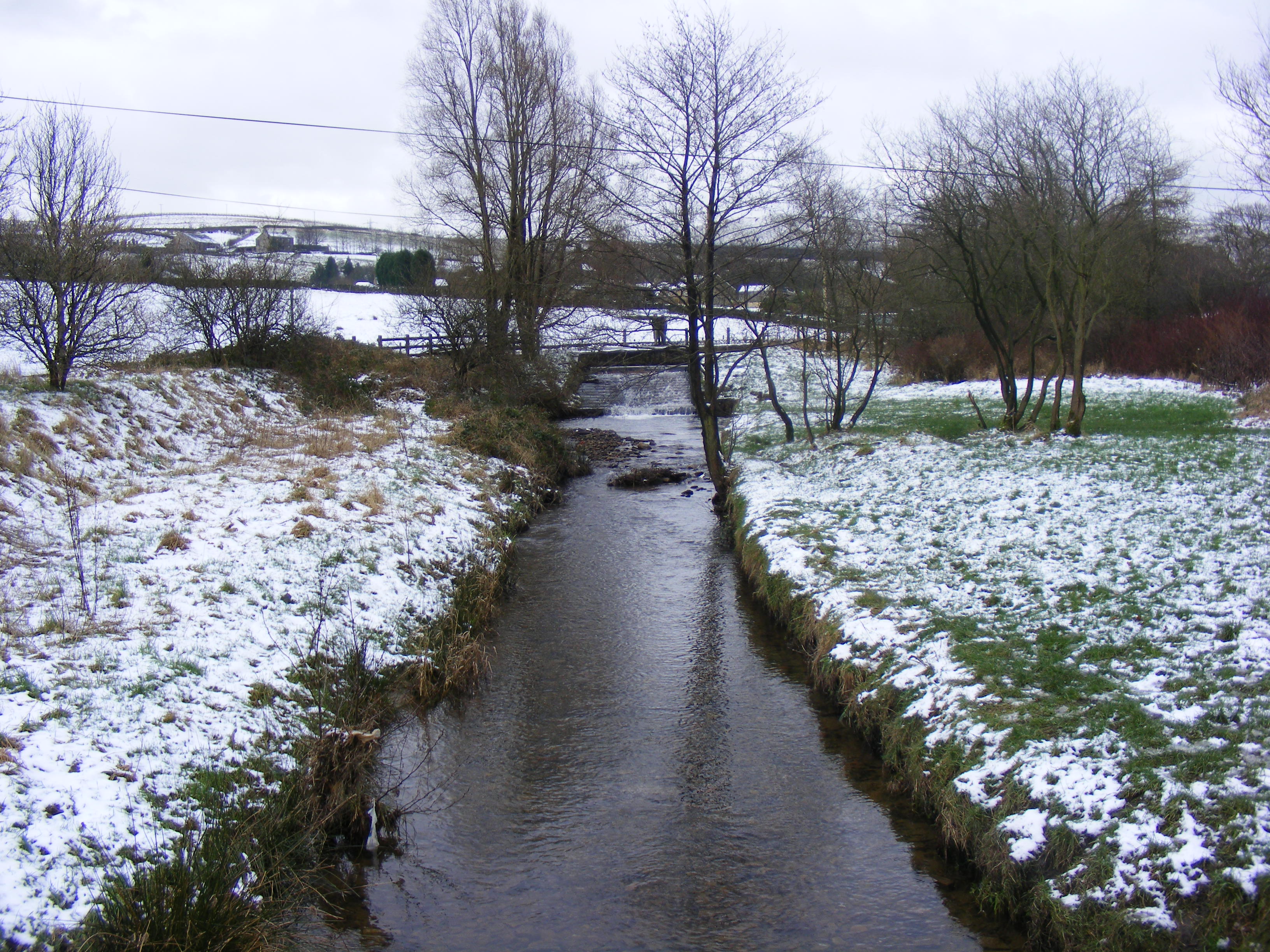
Longden End Brook

Longden End Brook is a watercourse in Greater Manchester. It rises near Windy Hill, and flows down Rakewood Valley and underneath the M62 motorway at Rakewood...
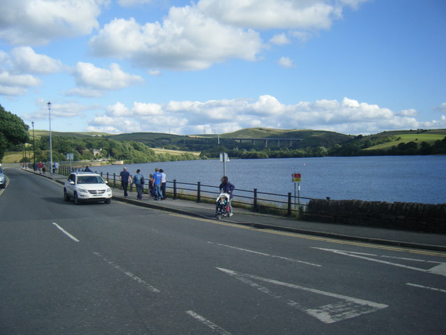
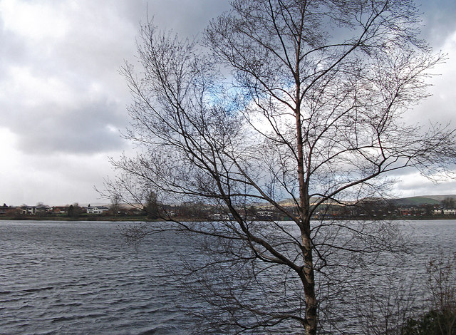
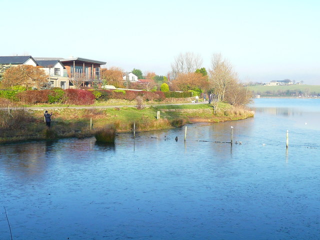
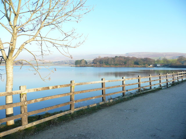
Hollingworth Lake

Hollingworth Lake is a 130-acre (53 ha) reservoir at Smithy Bridge in Littleborough, Greater Manchester, England. It was originally built as the main water...

Nearby Amenities

Located within 500m of 53.620018,-2.0856803
Phone
Check Date: 2023-08-06
Emergency: phone
Lat/Long: 53.6193894/-2.0854493
Heights Barn Hill
Ele: 239
Natural: peak
Lat/Long: 53.6193778/-2.0895227
Littleborough RUFC
Leisure: sports_centre
Sport: rugby_union
Lat/Long: 53.6231133/-2.0859192
Broad Carr
Building: house
Lat/Long: 53.6174864/-2.0916226
Generator Method: wind_turbine
Generator Source: wind
Power: generator
Lat/Long: 53.6239549/-2.0833093
The data included in this document is from www.openstreetmap.org. The data is made available under ODbL.

Have you been to Castle Hill?

Leave your review of Castle Hill below (or comments, questions and feedback).