Cleggswood Hill

Hill, Mountain in Lancashire

England

Cleggswood Hill

Hollingworth Lake with the elevated M62 beyond
Hollingworth Lake with the elevated M62 beyond Credit: Colin Pyle

Cleggswood Hill is a prominent hill located in Lancashire, England. Situated within the Borough of Rossendale, it forms part of the Pennine range. With an elevation of approximately 1,312 feet (400 meters) above sea level, it offers breathtaking panoramic views of the surrounding landscape.

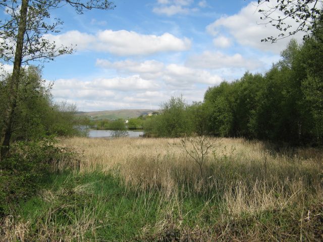
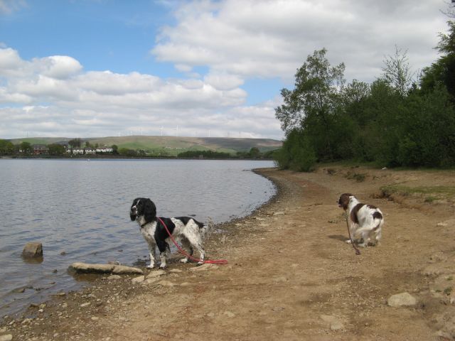
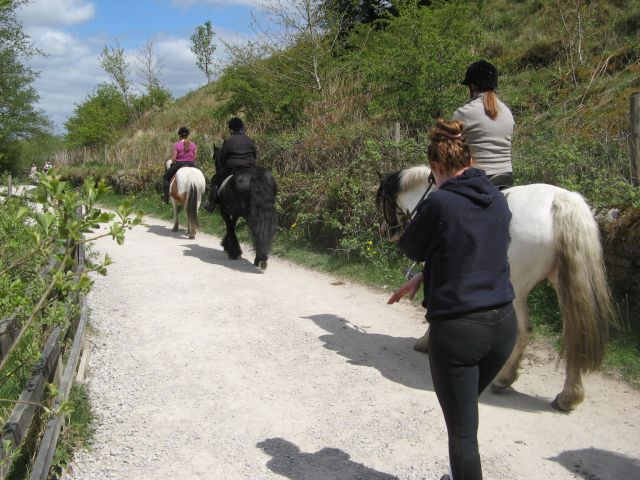
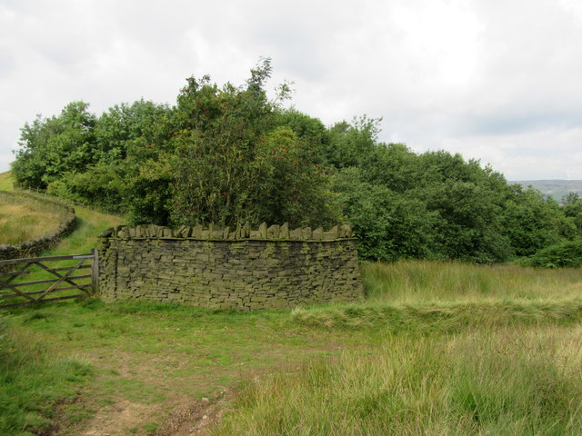
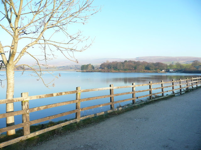
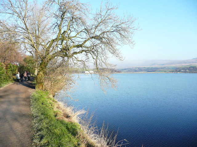
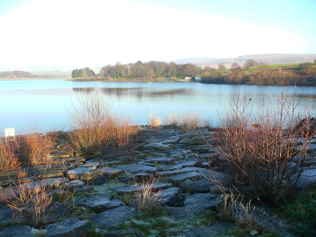
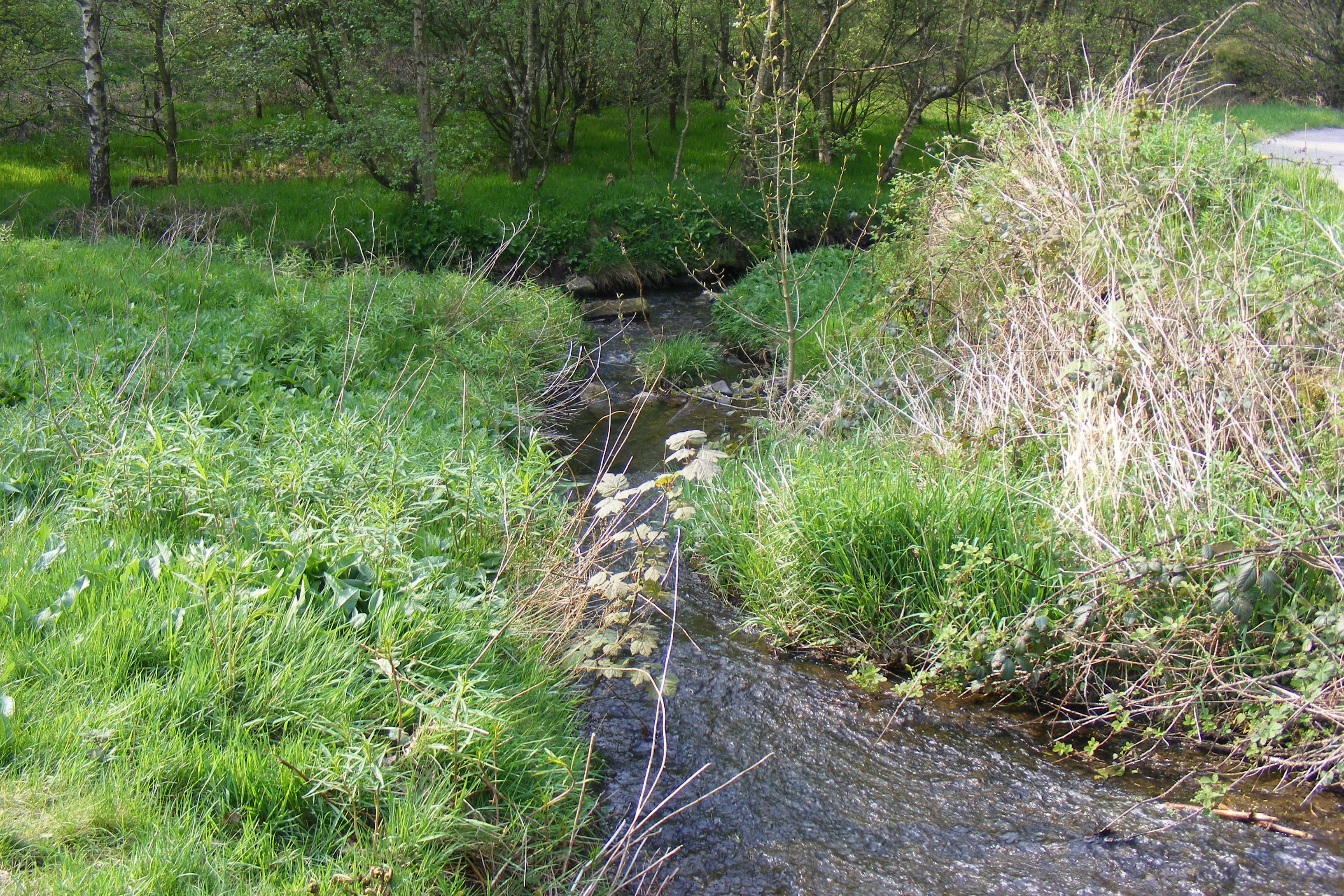
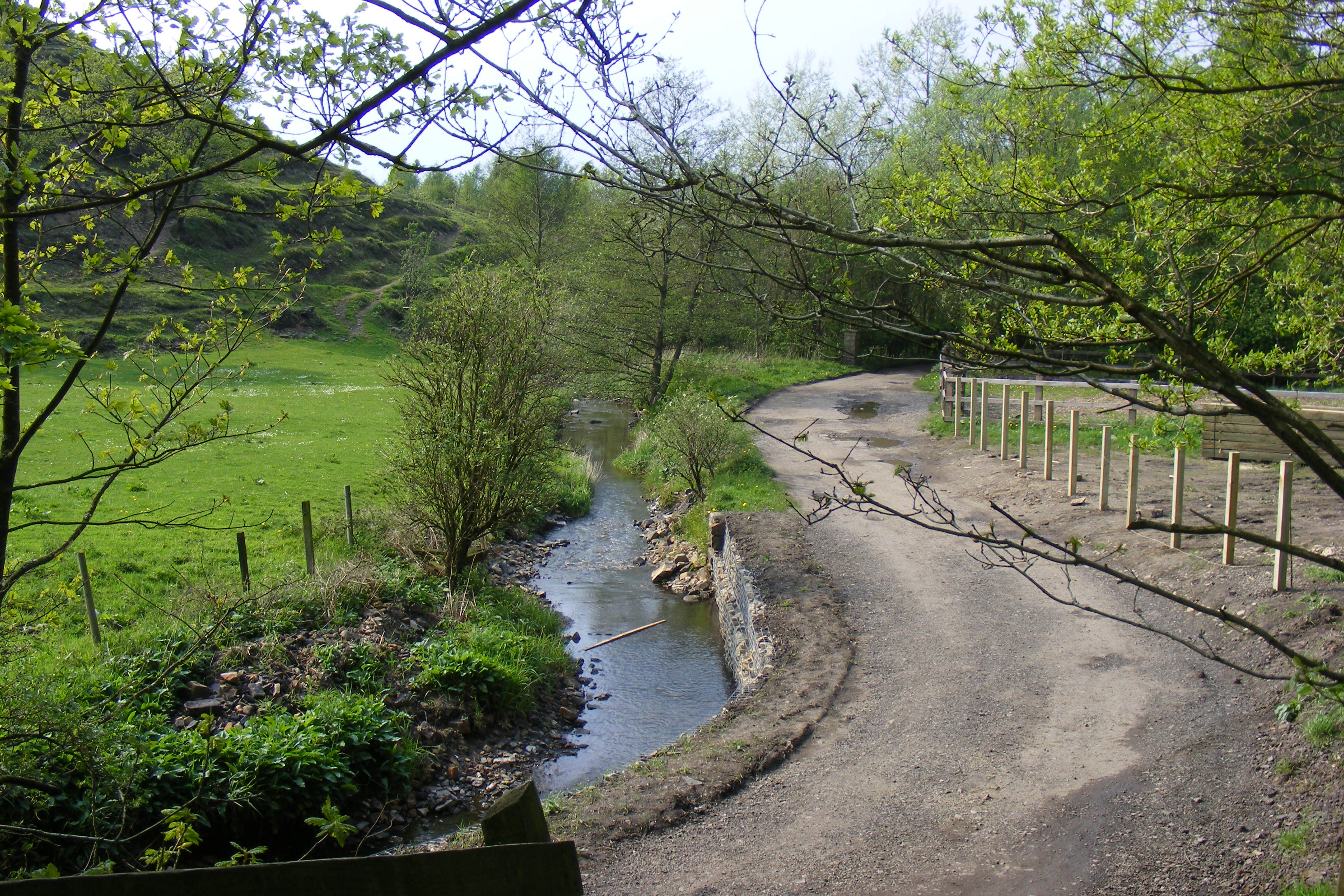
The hill is covered in lush green vegetation, primarily consisting of grasses, heather, and scattered trees. Its slopes are gently undulating, making it an ideal destination for hikers and nature enthusiasts. The well-maintained footpaths and trails allow visitors to explore the area and enjoy the stunning vistas that Cleggswood Hill offers.

Cleggswood Hill is known for its rich history, dating back to ancient times. Archaeological evidence suggests that the hill was once inhabited by Neolithic and Bronze Age communities. The remains of ancient settlements, burial mounds, and standing stones can still be found in the vicinity, providing insights into the region's past.

The hill is also home to a diverse array of wildlife, including various bird species, such as red grouse and kestrels, and mammals like rabbits and foxes. The surrounding moorland and heath provide excellent habitats for these creatures.

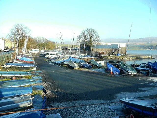
Cleggswood Hill is a popular destination for outdoor activities such as hiking, hillwalking, and birdwatching. Its accessibility and stunning natural beauty make it a favored spot for locals and tourists alike. Whether one is seeking a peaceful escape into nature or an adventurous trek, Cleggswood Hill offers an unforgettable experience in the heart of Lancashire.

If you have any feedback on the listing, please let us know in the comments section below.

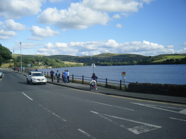
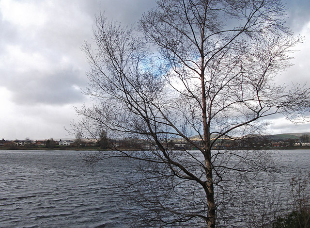
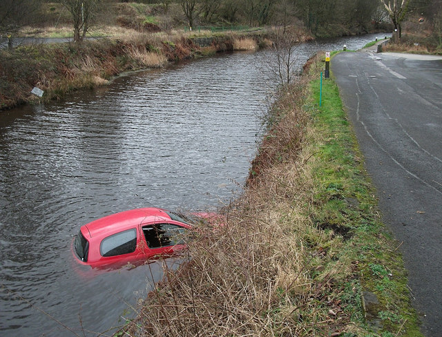
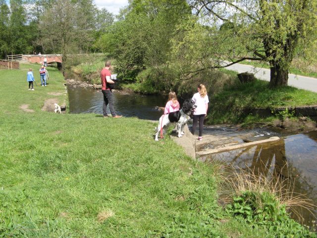
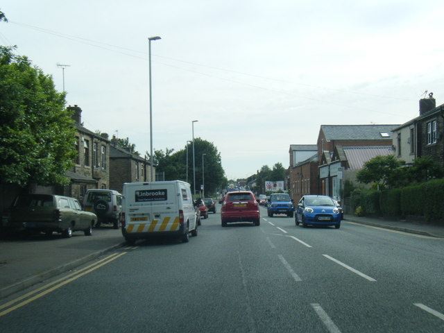
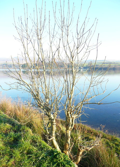
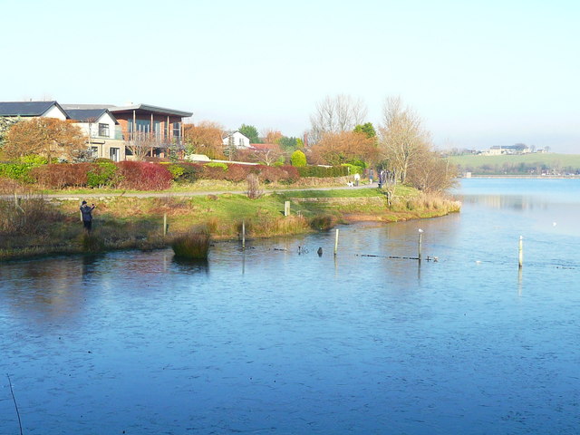
Cleggswood Hill Images

Images are sourced within 2km of 53.639131/-2.0916782 or Grid Reference SD9415. Thanks to Geograph Open Source API. All images are credited.

Hollingworth Lake with the elevated M62 beyond
Silver birch at Hollingworth Lake Looking north over the lake from a point near the lakeside café.
Silver birch at Hollingworth Lake
Looking north over the lake from a point near the lakeside café.
Car in the Rochdale Canal Just below Sladen Lock. Makes a change from seeing supermarket trolleys.
Car in the Rochdale Canal
Just below Sladen Lock. Makes a change from seeing supermarket trolleys.
Red car in Rochdale Canal Just below Sladen Lock (between Summit and Littleborough) on a very windy day.
Red car in Rochdale Canal
Just below Sladen Lock (between Summit and Littleborough) on a very windy day.
Hollingworth Lake
Hollingworth Lake
Longden End Brook The brook passes over a gauging weir as it approaches Hollingworth Lake, a popular place for swimming dogs, it seems, though my assistant Madog is staying dry for a change.
Longden End Brook
The brook passes over a gauging weir as it approaches Hollingworth Lake, a popular place for swimming dogs, it seems, though my assistant Madog is staying dry for a change.
Wetland view An extensive reed bed is part of the nature reserve at the southern, shallow end of the reservoir, near to the influx of the Longden End Brook.
Wetland view
An extensive reed bed is part of the nature reserve at the southern, shallow end of the reservoir, near to the influx of the Longden End Brook.
Beach view A view of the southern margin of the reservoir, which is mostly shallow.
Beach view
A view of the southern margin of the reservoir, which is mostly shallow.
Equine traffic Horses taking the path around the lake.
Equine traffic
Horses taking the path around the lake.
A58 Church Street, Littleborough
A58 New road, Dearnley
Wall and wood Adjacent to the Pennine Bridleway.
Wall and wood
Adjacent to the Pennine Bridleway.
Ash tree, Hollingworth Lake There are several trees alongside the lakeside that have been cut about a metre above ground, prompting the production of a large number of thin branches.
Ash tree, Hollingworth Lake
There are several trees alongside the lakeside that have been cut about a metre above ground, prompting the production of a large number of thin branches.
Houses alongside Hollingworth Lake These houses have a good view of the lake, and have access from a residential road behind.
Houses alongside Hollingworth Lake
These houses have a good view of the lake, and have access from a residential road behind.
View from the lakeside path, Hollingworth Lake
The lakeside path, Hollingworth Lake
The boat yard, Hollingworth Lake
Rocky shore, Hollingworth Lake Here is a place where you can get down to the edge of the water safely.
Rocky shore, Hollingworth Lake
Here is a place where you can get down to the edge of the water safely.
Show me another place!

Cleggswood Hill is located at Grid Ref: SD9415 (Lat: 53.639131, Lng: -2.0916782)

Unitary Authority: Rochdale

Police Authority: Greater Manchester

What 3 Words

///slides.ducks.fence. Near Littleborough, Manchester

Related Wikis

Brearley Brook

Brearley Brook is a watercourse in Greater Manchester and a tributary of Hollingworth Brook. The original source was on Low House Moor but this has been...

Shore Lane Brook

Shore Lane Brook is a water course in Greater Manchester and a tributary of Ealees Brook in Littleborough.

Hollingworth Brook

Hollingworth Brook is a water course in Greater Manchester which originates at Hollingworth Lake and flows through the Ealees Valley where it merges with...

Littleborough railway station

Littleborough railway station serves the town of Littleborough in the Metropolitan Borough of Rochdale, Greater Manchester, England. It lies on the Calder...

Ealees Brook

Ealees Brook is a water course in Greater Manchester named after the Ealees area of Littleborough. It flows northwards from the Ealees Valley to the River...

Littleborough and Saddleworth (UK Parliament constituency)

Littleborough and Saddleworth was a parliamentary constituency in Greater Manchester, England. It returned one Member of Parliament (MP) to the House...

Rochdale Way

The Rochdale Way is a circular 45-mile (72 km) walking route around the Metropolitan Borough of Rochdale in Greater Manchester, which takes in the best...

Littleborough, Greater Manchester

Littleborough ( LIT-əl-bər-ə) is a town in the Metropolitan Borough of Rochdale, Greater Manchester, England, in the upper Roch Valley by the foothills...

Nearby Amenities

Located within 500m of 53.639131,-2.0916782
Littleborough
Is In District: Rochdale
Place: town
Wikidata: Q3835082
Wikipedia: en:Littleborough, Greater Manchester
Lat/Long: 53.6410537/-2.0914019
Cleggswood Hill
Natural: peak
Source: npe
Lat/Long: 53.6383737/-2.092058
Seamark Type: gate
Waterway: lock_gate
Lat/Long: 53.6431663/-2.0915844
Seamark Type: gate
Waterway: lock_gate
Lat/Long: 53.6433052/-2.0913077
Bus Stop
Hollingworth Road/Inghams Lane
Bus: yes
Naptan AtcoCode: 1800NE00941
Naptan Bearing: SW
Naptan CommonName: Hollingworth Road/Inghams Lane
Naptan Indicator: High Wall
Naptan Landmark: HOUSE 33
Naptan NaptanCode: mandwapt
Naptan PlusbusZoneRef: MNCRPIC
Naptan ShortCommonName: Inghams Lane
Naptan Street: Hollingworth Road
Naptan Verified: no
Network: TfGM
Public Transport: platform
Source: naptan_import
Lat/Long: 53.6410674/-2.0968959
Bus Stop
Hollingworth Road/Inghams Lane
Bus: yes
Naptan AtcoCode: 1800NE01251
Naptan Bearing: NE
Naptan CommonName: Hollingworth Road/Inghams Lane
Naptan Indicator: Op House 43
Naptan Landmark: HOUSE 43
Naptan NaptanCode: mandwawp
Naptan PlusbusZoneRef: MNCRPIC
Naptan ShortCommonName: Inghams Lane
Naptan Street: Hollingworth Road
Naptan Verified: no
Network: TfGM
Public Transport: platform
Source: naptan_import
Lat/Long: 53.6409232/-2.0973645
Bus Stop
Station Road/Littleborough Station (D)
Bus: yes
Local Ref: D
Naptan AtcoCode: 1800NE02401
Naptan Bearing: S
Naptan CommonName: Station Road/Littleborough Station (D)
Naptan Indicator: Stop D
Naptan Landmark: Rail Station
Naptan NaptanCode: mandwdtj
Naptan PlusbusZoneRef: MNCRPIC
Naptan ShortCommonName: Littleborough Sta
Naptan Street: STATION ROAD
Naptan Verified: no
Network: TfGM
Public Transport: platform
Source: naptan_import
Lat/Long: 53.6430465/-2.0948886
Bus Stop
Hollingworth Road/Chemical Works
Bus: yes
Naptan AtcoCode: 1800NE49881
Naptan Bearing: S
Naptan CommonName: Hollingworth Road/Chemical Works
Naptan Indicator: Armour Hess Fty
Naptan Landmark: ARMOUR HESS FTY
Naptan NaptanCode: mangjdpd
Naptan PlusbusZoneRef: MNCRPIC
Naptan ShortCommonName: Chemical Works
Naptan Street: Hollingworth Road
Naptan Verified: no
Network: TfGM
Public Transport: platform
Source: naptan_import
Lat/Long: 53.6375965/-2.0985668
Tourism: picnic_site
Lat/Long: 53.6367118/-2.0891994
Littleborough
Naptan AtcoCode: 9100LITLBRO
Network: National Rail
Network Website: https://www.nationalrail.co.uk/stations/ltl/
Network Wikidata: Q26334
Operator: Northern Rail
Operator Website: https://www.northernrailway.co.uk/stations/littleborough
Operator Wikidata: Q85789775
Public Transport: station
Railway: station
Ref Crs: LTL
Source: npe
Train: yes
Wheelchair: yes
Wikidata: Q2111684
Wikipedia: en:Littleborough railway station
Lat/Long: 53.6427541/-2.0950109
Barrier: kissing_gate
Bicycle: dismount
Foot: yes
Horse: no
Material: metal
Motor Vehicle: no
Lat/Long: 53.6377519/-2.0876358
Littleborough
Public Transport: stop_position
Railway: stop
Train: yes
Lat/Long: 53.6425598/-2.0954599
Barrier: cycle_barrier
Lat/Long: 53.6427871/-2.0949265
Barrier: kissing_gate
Bicycle: dismount
Foot: yes
Horse: no
Material: metal
Motor Vehicle: no
Lat/Long: 53.6386574/-2.0866305
Littleborough
Public Transport: stop_position
Railway: stop
Train: yes
Lat/Long: 53.6422369/-2.0960489
Board Type: wildlife
Information: board
Tourism: information
Lat/Long: 53.6367766/-2.0887685
Parcel Locker
Teri
Brand: Amazon Locker
Brand Wikidata: Q16974764
Lat/Long: 53.6428497/-2.0950657
Parcel Locker
Yau
Brand: Amazon Locker
Brand Wikidata: Q16974764
Opening Hours: Mo-Su 07:00-22:00
Lat/Long: 53.6425789/-2.09594
The data included in this document is from www.openstreetmap.org. The data is made available under ODbL.

Have you been to Cleggswood Hill?

Leave your review of Cleggswood Hill below (or comments, questions and feedback).