Whittaker Wood

Wood, Forest in Lancashire

England

Whittaker Wood

Hollingworth Lake with the elevated M62 beyond
Hollingworth Lake with the elevated M62 beyond Credit: Colin Pyle

Whittaker Wood, located in Lancashire, England, is a picturesque forest known for its natural beauty and diverse flora and fauna. Situated on the outskirts of the town of Whittaker, the wood covers an expansive area, making it a popular destination for nature enthusiasts, hikers, and wildlife lovers.

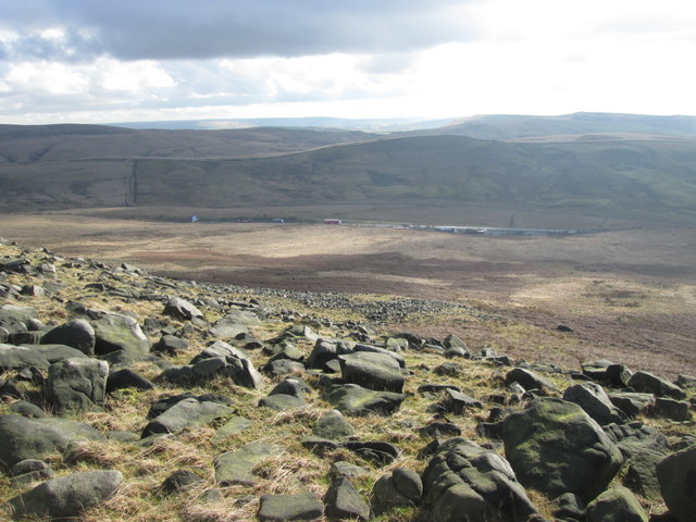
The wood is characterized by its dense canopy of trees, primarily consisting of oak, beech, and birch. These towering trees create a serene and tranquil atmosphere, providing shade and shelter for a variety of woodland creatures. The forest floor is carpeted with a thick layer of moss, ferns, and wildflowers, creating a vibrant and colorful landscape.

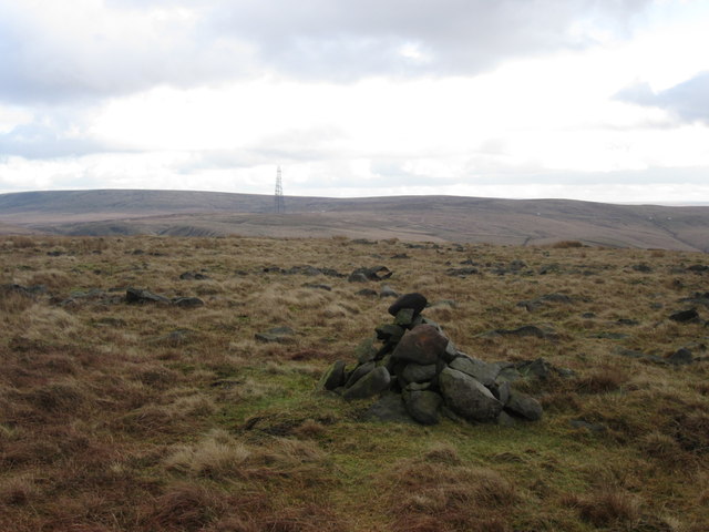
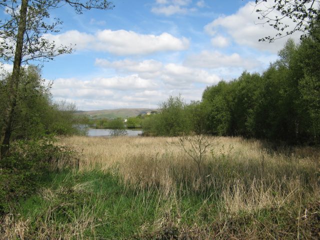
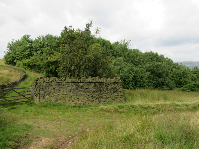
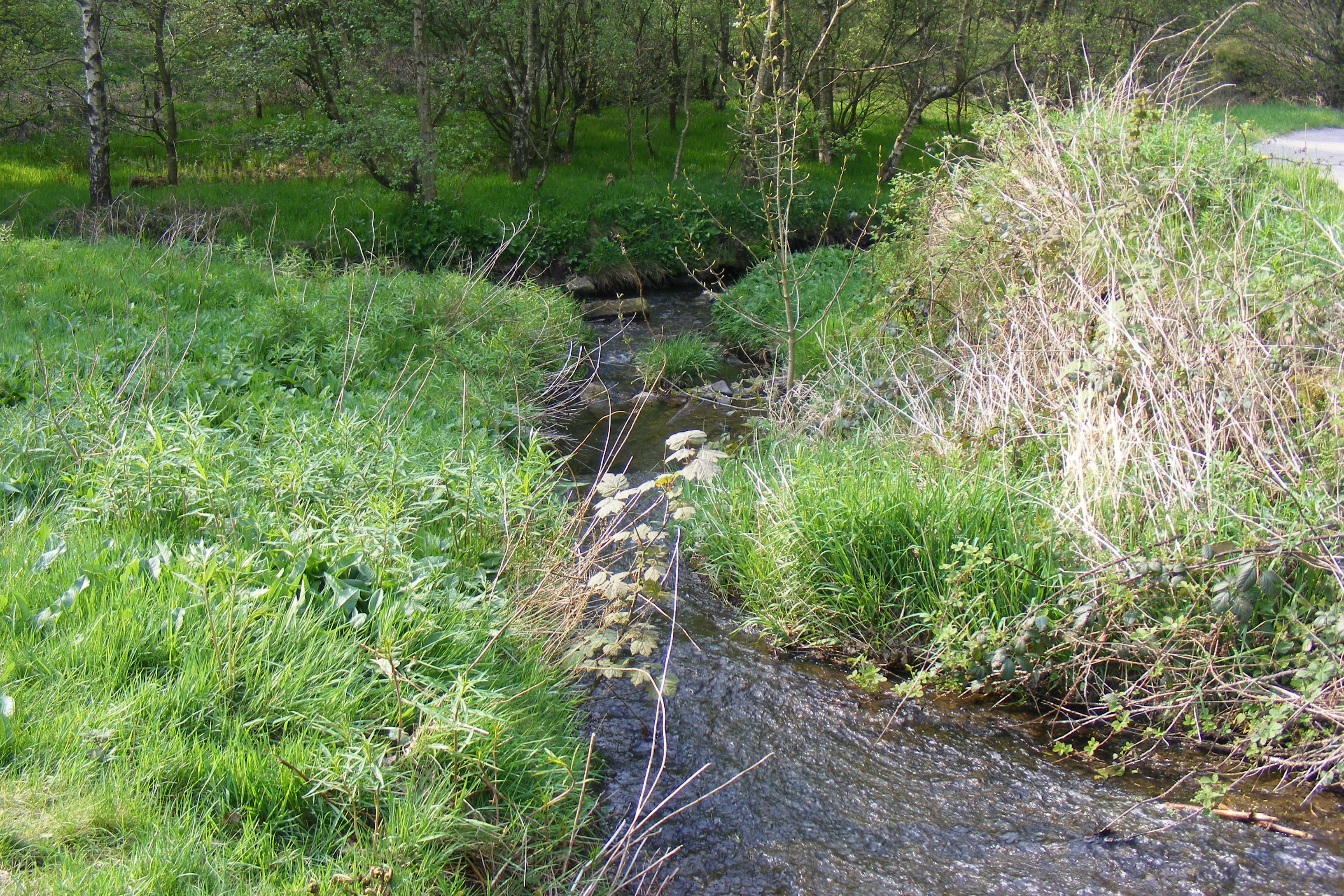
Whittaker Wood boasts a network of well-maintained walking trails, allowing visitors to explore the area and discover its hidden gems. The trails wind through the forest, passing by babbling brooks, small waterfalls, and ancient stone formations. Along the way, visitors may encounter a range of wildlife, including deer, foxes, rabbits, and a variety of bird species.

The wood is also home to a diverse range of plant life, with many rare and protected species thriving in this natural habitat. Bluebells, wild garlic, and wood anemones are just a few of the vibrant flowers that bloom in abundance during the spring months, creating a breathtaking display of colors.

Whittaker Wood offers a peaceful and idyllic escape from the hustle and bustle of city life, providing visitors with an opportunity to connect with nature and enjoy the tranquility of a woodland setting. Whether it's for a leisurely stroll, a family picnic, or wildlife spotting, Whittaker Wood is a place where one can truly appreciate the beauty and serenity of the natural world.

If you have any feedback on the listing, please let us know in the comments section below.

Whittaker Wood Images

Images are sourced within 2km of 53.634241/-2.0803708 or Grid Reference SD9415. Thanks to Geograph Open Source API. All images are credited.

Hollingworth Lake with the elevated M62 beyond
Silver birch at Hollingworth Lake Looking north over the lake from a point near the lakeside café.
Silver birch at Hollingworth Lake
Looking north over the lake from a point near the lakeside café.
Looking down Great Hoar Edge to the M62 motorway
Low House Moor The mast on Windy Hill in the distance
Low House Moor
The mast on Windy Hill in the distance
Hollingworth Lake
Hollingworth Lake
Longden End Brook The brook passes over a gauging weir as it approaches Hollingworth Lake, a popular place for swimming dogs, it seems, though my assistant Madog is staying dry for a change.
Longden End Brook
The brook passes over a gauging weir as it approaches Hollingworth Lake, a popular place for swimming dogs, it seems, though my assistant Madog is staying dry for a change.
Wetland view An extensive reed bed is part of the nature reserve at the southern, shallow end of the reservoir, near to the influx of the Longden End Brook.
Wetland view
An extensive reed bed is part of the nature reserve at the southern, shallow end of the reservoir, near to the influx of the Longden End Brook.
Beach view A view of the southern margin of the reservoir, which is mostly shallow.
Beach view
A view of the southern margin of the reservoir, which is mostly shallow.
Equine traffic Horses taking the path around the lake.
Equine traffic
Horses taking the path around the lake.
A58 Church Street, Littleborough
Wall and wood Adjacent to the Pennine Bridleway.
Wall and wood
Adjacent to the Pennine Bridleway.
Bridge over Longden End Brook
Path from Hoar Edge down to Clegg Moor, Littleborough This path meets the Pennine Bridleway.
Path from Hoar Edge down to Clegg Moor, Littleborough
This path meets the Pennine Bridleway.
Footpath along Hoar Edge, Littleborough Blackstone Edge is on the skyline.
Footpath along Hoar Edge, Littleborough
Blackstone Edge is on the skyline.
Ash tree, Hollingworth Lake There are several trees alongside the lakeside that have been cut about a metre above ground, prompting the production of a large number of thin branches.
Ash tree, Hollingworth Lake
There are several trees alongside the lakeside that have been cut about a metre above ground, prompting the production of a large number of thin branches.
Houses alongside Hollingworth Lake These houses have a good view of the lake, and have access from a residential road behind.
Houses alongside Hollingworth Lake
These houses have a good view of the lake, and have access from a residential road behind.
View from the lakeside path, Hollingworth Lake
The lakeside path, Hollingworth Lake
Show me another place!

Whittaker Wood is located at Grid Ref: SD9415 (Lat: 53.634241, Lng: -2.0803708)

Unitary Authority: Rochdale

Police Authority: Greater Manchester

What 3 Words

///flask.fewer.heads. Near Littleborough, Manchester

Related Wikis

Whittaker Wood

Whittaker Wood is a woodland in Greater Manchester, England, near Littleborough. It covers a total area of 1.88 hectares (4.65 acres). It is owned and...

Brearley Brook

Brearley Brook is a watercourse in Greater Manchester and a tributary of Hollingworth Brook. The original source was on Low House Moor but this has been...

Shore Lane Brook

Shore Lane Brook is a water course in Greater Manchester and a tributary of Ealees Brook in Littleborough.

Hollingworth Brook

Hollingworth Brook is a water course in Greater Manchester which originates at Hollingworth Lake and flows through the Ealees Valley where it merges with...

Nearby Amenities

Located within 500m of 53.634241,-2.0803708
Barrier: stile
Lat/Long: 53.6325418/-2.0817987
Hollingworth Hill
Ele: 223
Natural: peak
Lat/Long: 53.6318967/-2.0834878
Bench
Lat/Long: 53.6372/-2.0784281
Fixme: Needs survey - footpath (and Rochdale Way) may take detour to the southwest visible on imagery
Lat/Long: 53.6348902/-2.0840977
The data included in this document is from www.openstreetmap.org. The data is made available under ODbL.

Have you been to Whittaker Wood?

Leave your review of Whittaker Wood below (or comments, questions and feedback).