Hollingworth Hill

Hill, Mountain in Lancashire

England

Hollingworth Hill

Hollingworth Lake with the elevated M62 beyond
Hollingworth Lake with the elevated M62 beyond Credit: Colin Pyle

Hollingworth Hill, located in Lancashire, England, is a prominent hill that offers breathtaking views and natural beauty. Standing at an elevation of approximately 1,200 feet, it is a significant landmark in the area and attracts both locals and tourists alike.

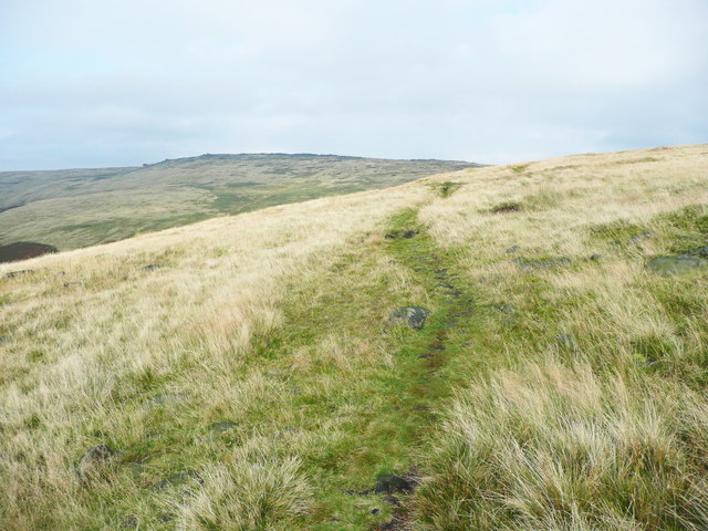
The hill is situated in the northeastern part of Lancashire, close to the town of Hollingworth. It is part of the Pennines, a range of hills and mountains that stretches across northern England. Hollingworth Hill is known for its distinctive shape, with a gently sloping ascent that gradually becomes steeper towards the summit.

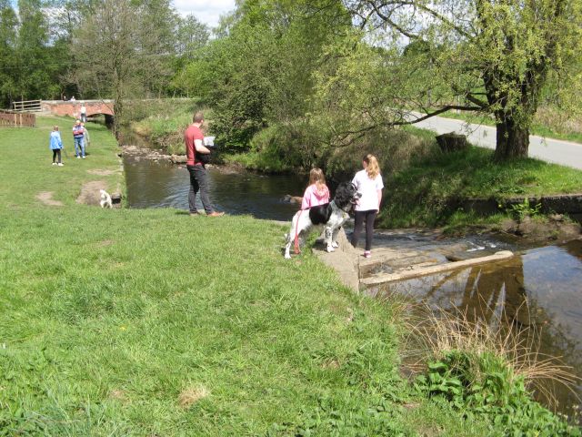
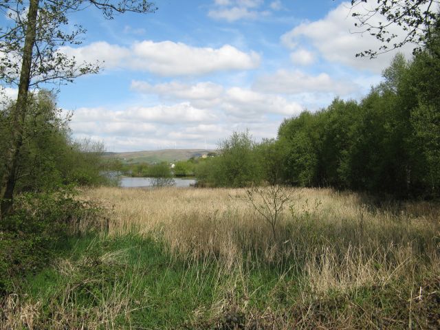
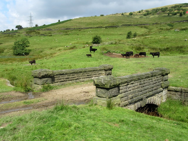
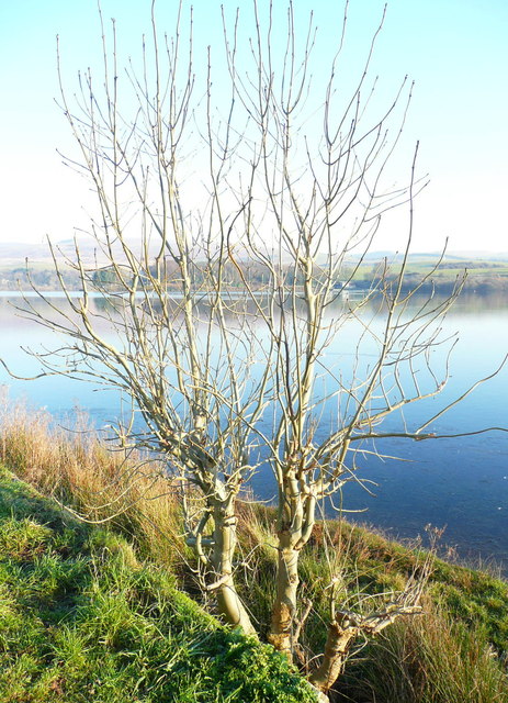
The hill is covered in lush greenery, featuring a mix of grasses, heather, and scattered shrubs. It is home to a variety of wildlife, including birds, rabbits, and occasional deer. The diverse flora and fauna make it an ideal spot for nature enthusiasts and birdwatchers.

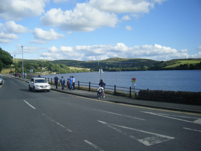
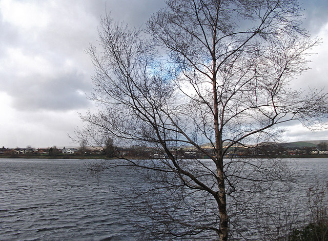
At the peak of Hollingworth Hill, visitors are rewarded with stunning panoramic views of the surrounding countryside. On clear days, one can see for miles, with the rolling hills, picturesque villages, and even glimpses of nearby reservoirs. The hill provides an excellent vantage point for capturing breathtaking photographs and enjoying the tranquility of the natural surroundings.

Hollingworth Hill offers various walking trails and paths for those looking to explore its beauty. Hikers can choose from different routes that cater to various fitness levels, ensuring there is something for everyone. The hill's accessibility and serene atmosphere make it a popular destination for outdoor activities or simply a peaceful escape from the bustling city life.

If you have any feedback on the listing, please let us know in the comments section below.

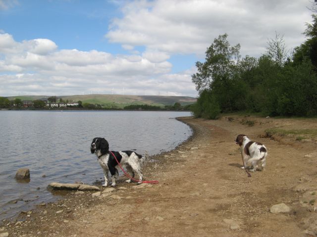
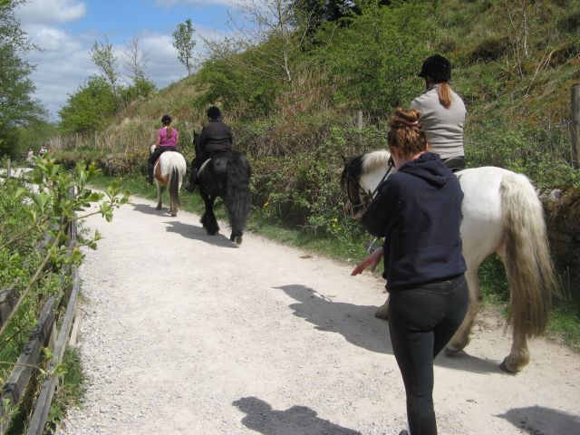
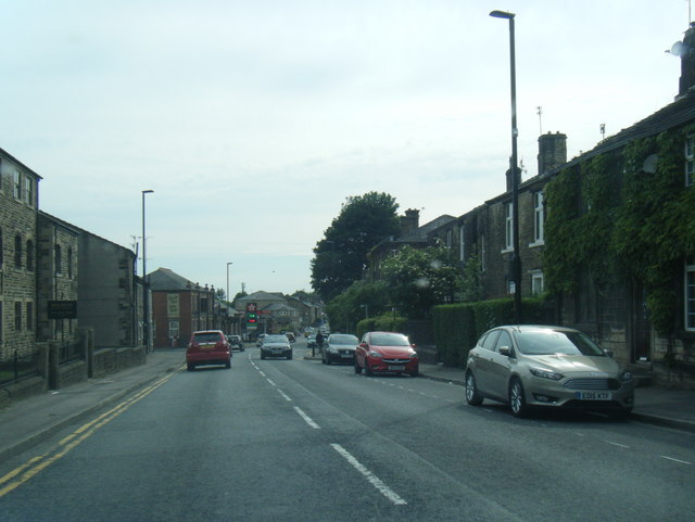
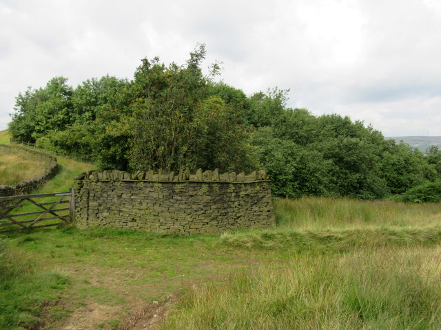
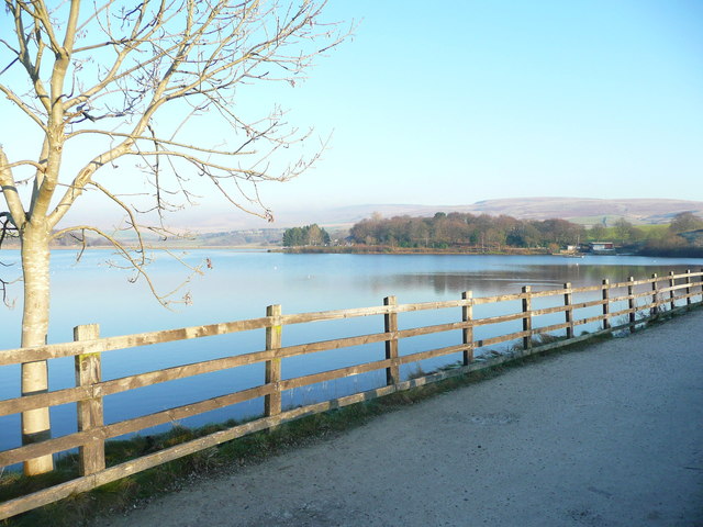
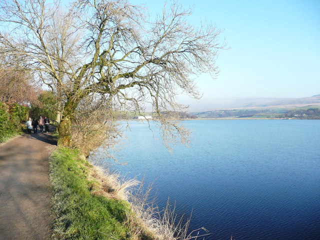
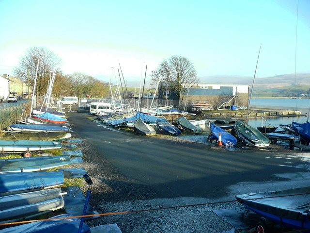
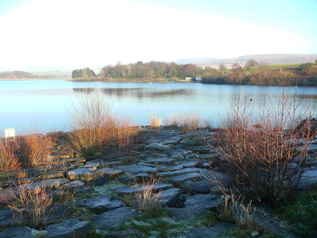
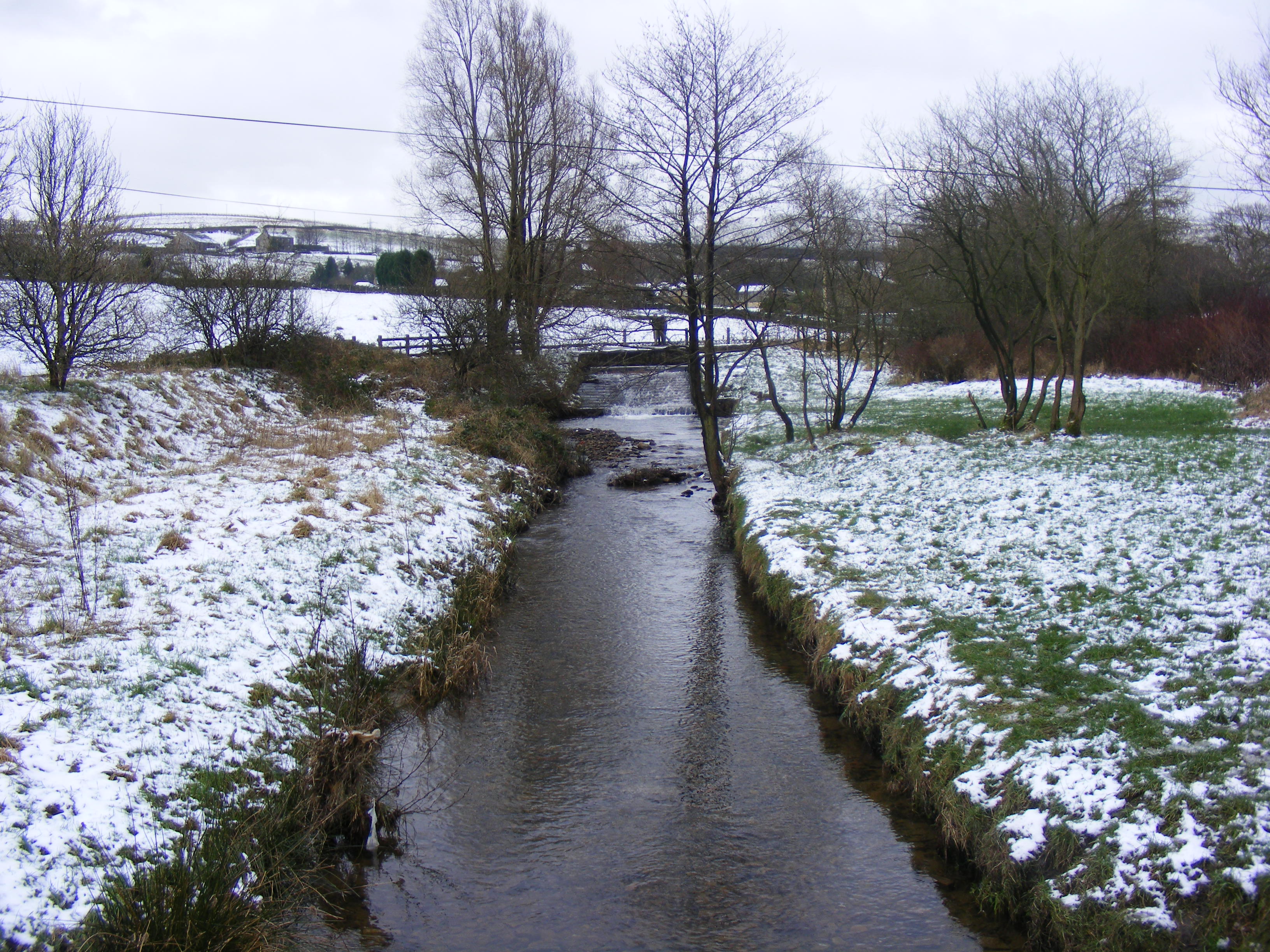
Hollingworth Hill Images

Images are sourced within 2km of 53.631731/-2.0838441 or Grid Reference SD9415. Thanks to Geograph Open Source API. All images are credited.

Hollingworth Lake with the elevated M62 beyond
Silver birch at Hollingworth Lake Looking north over the lake from a point near the lakeside café.
Silver birch at Hollingworth Lake
Looking north over the lake from a point near the lakeside café.
Hollingworth Lake
Hollingworth Lake
Longden End Brook The brook passes over a gauging weir as it approaches Hollingworth Lake, a popular place for swimming dogs, it seems, though my assistant Madog is staying dry for a change.
Longden End Brook
The brook passes over a gauging weir as it approaches Hollingworth Lake, a popular place for swimming dogs, it seems, though my assistant Madog is staying dry for a change.
Wetland view An extensive reed bed is part of the nature reserve at the southern, shallow end of the reservoir, near to the influx of the Longden End Brook.
Wetland view
An extensive reed bed is part of the nature reserve at the southern, shallow end of the reservoir, near to the influx of the Longden End Brook.
Beach view A view of the southern margin of the reservoir, which is mostly shallow.
Beach view
A view of the southern margin of the reservoir, which is mostly shallow.
Equine traffic Horses taking the path around the lake.
Equine traffic
Horses taking the path around the lake.
A58 Church Street, Littleborough
Wall and wood Adjacent to the Pennine Bridleway.
Wall and wood
Adjacent to the Pennine Bridleway.
Bridge over Longden End Brook
Path from Hoar Edge down to Clegg Moor, Littleborough This path meets the Pennine Bridleway.
Path from Hoar Edge down to Clegg Moor, Littleborough
This path meets the Pennine Bridleway.
Footpath along Hoar Edge, Littleborough Blackstone Edge is on the skyline.
Footpath along Hoar Edge, Littleborough
Blackstone Edge is on the skyline.
Ash tree, Hollingworth Lake There are several trees alongside the lakeside that have been cut about a metre above ground, prompting the production of a large number of thin branches.
Ash tree, Hollingworth Lake
There are several trees alongside the lakeside that have been cut about a metre above ground, prompting the production of a large number of thin branches.
Houses alongside Hollingworth Lake These houses have a good view of the lake, and have access from a residential road behind.
Houses alongside Hollingworth Lake
These houses have a good view of the lake, and have access from a residential road behind.
View from the lakeside path, Hollingworth Lake
The lakeside path, Hollingworth Lake
The boat yard, Hollingworth Lake
Rocky shore, Hollingworth Lake Here is a place where you can get down to the edge of the water safely.
Rocky shore, Hollingworth Lake
Here is a place where you can get down to the edge of the water safely.
Show me another place!

Hollingworth Hill is located at Grid Ref: SD9415 (Lat: 53.631731, Lng: -2.0838441)

Unitary Authority: Rochdale

Police Authority: Greater Manchester

What 3 Words

///erase.civil.poker. Near Littleborough, Manchester

Related Wikis

Whittaker Wood

Whittaker Wood is a woodland in Greater Manchester, England, near Littleborough. It covers a total area of 1.88 hectares (4.65 acres). It is owned and...

Longden End Brook

Longden End Brook is a watercourse in Greater Manchester. It rises near Windy Hill, and flows down Rakewood Valley and underneath the M62 motorway at Rakewood...

Rochdale Way

The Rochdale Way is a circular 45-mile (72 km) walking route around the Metropolitan Borough of Rochdale in Greater Manchester, which takes in the best...

Brearley Brook

Brearley Brook is a watercourse in Greater Manchester and a tributary of Hollingworth Brook. The original source was on Low House Moor but this has been...

Nearby Amenities

Located within 500m of 53.631731,-2.0838441
Barrier: stile
Lat/Long: 53.6325418/-2.0817987
Hollingworth Hill
Ele: 223
Natural: peak
Lat/Long: 53.6318967/-2.0834878
Fixme: Needs survey - footpath (and Rochdale Way) may take detour to the southwest visible on imagery
Lat/Long: 53.6348902/-2.0840977
Traffic Calming: hump
Lat/Long: 53.6319015/-2.0914082
Information: board
Tourism: information
Lat/Long: 53.6283273/-2.088514
The data included in this document is from www.openstreetmap.org. The data is made available under ODbL.

Have you been to Hollingworth Hill?

Leave your review of Hollingworth Hill below (or comments, questions and feedback).