Garland Hill
Hill, Mountain in Yorkshire Richmondshire
England
Garland Hill
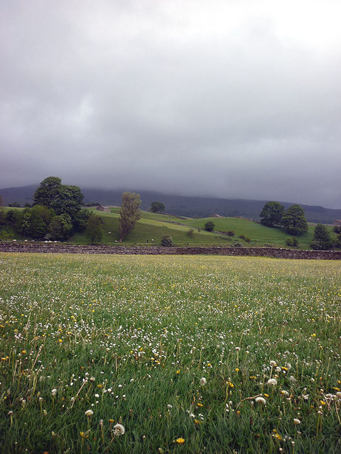
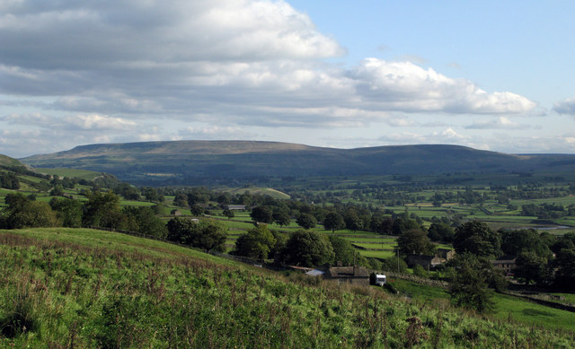
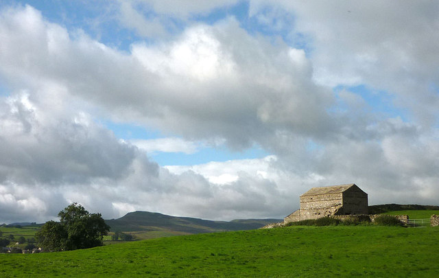
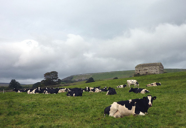
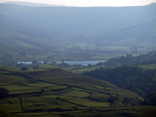
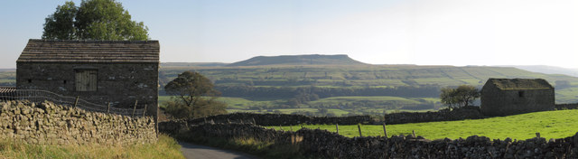
Garland Hill is a prominent geographical feature located in Yorkshire, England. Rising majestically above the surrounding landscape, it is one of the most iconic hills in the region. With an elevation of approximately 500 meters, Garland Hill offers breathtaking views of the picturesque countryside and neighboring valleys.
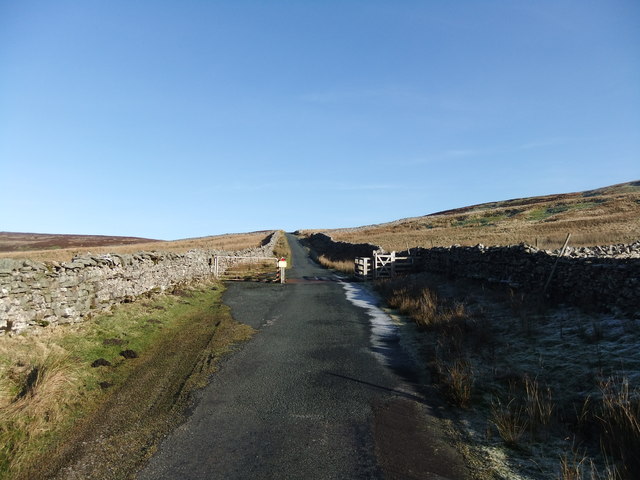
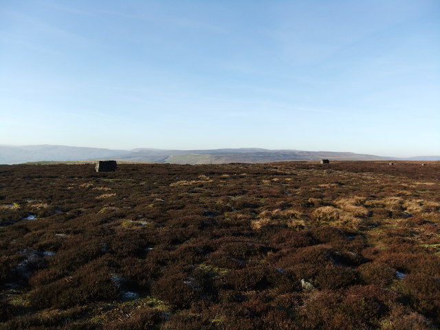
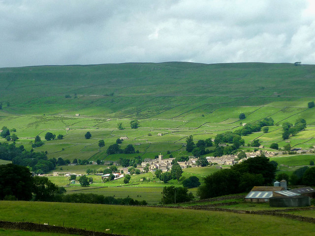
The hill is characterized by its steep slopes, covered in lush green vegetation, which make it a popular destination for hikers and nature enthusiasts. Its well-defined trails provide opportunities for both leisurely walks and more challenging hikes, attracting visitors of all levels of fitness and experience. As visitors ascend the hill, they are rewarded with panoramic vistas that showcase the stunning beauty of Yorkshire's rolling hills, quaint villages, and meandering rivers.
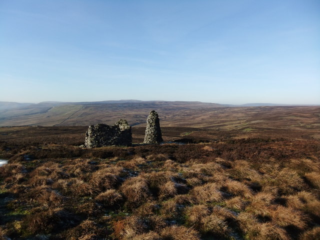
At the summit of Garland Hill, there is a small observation deck that offers an unobstructed view of the entire region. On clear days, it is possible to see as far as the distant Pennine Mountains, adding to the hill's allure. The summit is often a gathering point for locals and visitors alike, who come to marvel at the natural beauty and enjoy a moment of tranquility.
Garland Hill is not only a natural wonder but also holds historical significance. It is believed to have been a strategic vantage point during ancient times, possibly used for defensive purposes. Today, remnants of ancient settlements and fortifications can still be found on the hill, adding an extra layer of intrigue to its allure.
In conclusion, Garland Hill in Yorkshire is a captivating natural landmark that offers stunning views, challenging trails, and a glimpse into the region's rich history. It is a must-visit destination for those seeking a connection with nature and a sense of awe-inspiring beauty.
If you have any feedback on the listing, please let us know in the comments section below.
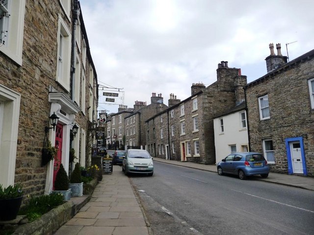
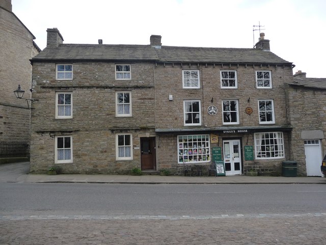
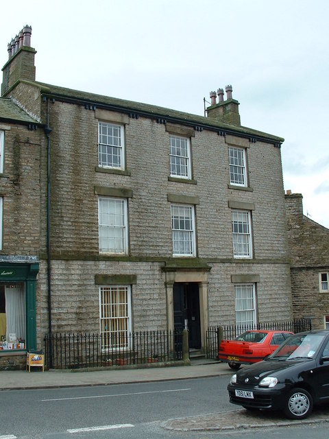
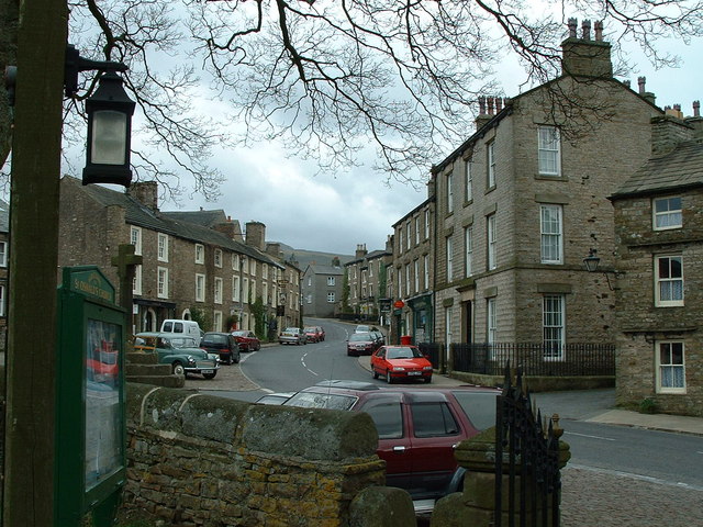
Garland Hill Images
Images are sourced within 2km of 54.324464/-2.0852971 or Grid Reference SD9492. Thanks to Geograph Open Source API. All images are credited.


Garland Hill is located at Grid Ref: SD9492 (Lat: 54.324464, Lng: -2.0852971)
Division: North Riding
Administrative County: North Yorkshire
District: Richmondshire
Police Authority: North Yorkshire
What 3 Words
///trickle.worry.rigs. Near Leyburn, North Yorkshire
Nearby Locations
Related Wikis
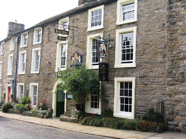
Kings Arms Hotel
The Kings Arms Hotel is a public house and inn in the English village of Askrigg, North Yorkshire. A Grade II listed building, standing on the northern...

Askrigg
Askrigg is a small village and civil parish in Wensleydale in the Yorkshire Dales National Park. It was formerly a part of the Richmondshire district of...

Newbiggin, Askrigg
Newbiggin is a hamlet very close to Askrigg, North Yorkshire, England. Another Newbiggin is only about 7 miles (11 km) away. The hamlet consists of eight...

Cringley House
Cringley House (also known as Skeldale House) is an historic building in the English village of Askrigg, North Yorkshire. Standing on the south side of...

St Oswald's Church, Askrigg
St Oswald's Church is a Grade I listed parish church in the Church of England in Askrigg, North Yorkshire. == History == The church dates largely from...

Askrigg railway station
Askrigg railway station is a disused railway station in North Yorkshire, England and served the village of Askrigg. It was part of the Wensleydale Railway...

Fors Abbey
Fors Abbey was an abbey in Low Abbotside, Askrigg, North Yorkshire, England.It was built in 1145 for the Savigniac order and converted to the Cistercian...

River Bain, North Yorkshire
The River Bain is a river in North Yorkshire, England. As a tributary of the River Ure, it is one of the shortest, named rivers in England. The river...
Nearby Amenities
Located within 500m of 54.324464,-2.0852971Have you been to Garland Hill?
Leave your review of Garland Hill below (or comments, questions and feedback).