Slaggy Hill

Hill, Mountain in Northumberland

England

Slaggy Hill

Sheep graze above Embley West of Slaley Forest, moorland drops down to farmland and pasture dominates. The bridleway from Embley just touches the edge of this gridsquare, offering an uninspiring view across the grazing towards the forest.
Sheep graze above Embley Credit: Andy Waddington

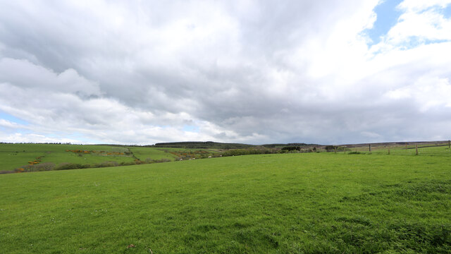
Slaggy Hill is a prominent landmark located in the county of Northumberland, England. Situated within the North Pennines Area of Outstanding Natural Beauty, it is known for its distinctive geological features and stunning natural beauty. Rising to an elevation of approximately 535 meters (1,755 feet), Slaggy Hill is classified as a hill rather than a mountain due to its height.

The hill is characterized by its rugged and rocky terrain, with large outcrops of ancient volcanic rock scattered across its slopes. These rocks, which give the hill its name, are composed of slag, a byproduct of the area's historical lead mining industry. The slag rocks are rich in minerals and create a unique and eerie landscape that is both captivating and somewhat desolate.

Slaggy Hill offers breathtaking panoramic views of the surrounding countryside, providing visitors with an opportunity to appreciate the unspoiled beauty of Northumberland. On a clear day, it is possible to see for miles, with rolling hills, moorlands, and picturesque valleys stretching as far as the eye can see.

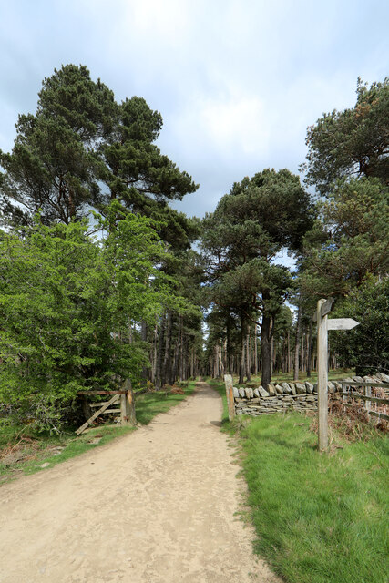
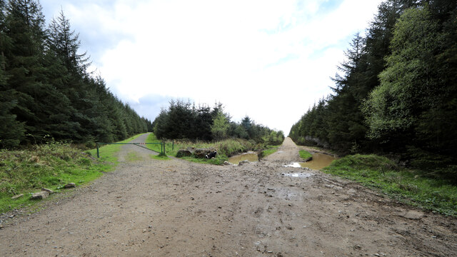
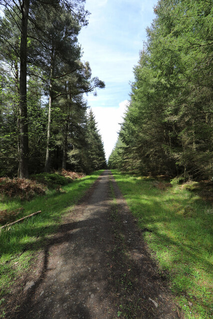
The hill is a popular destination for hikers, nature enthusiasts, and photographers, who are drawn to its wild and untamed allure. Several walking trails lead to the summit, allowing visitors to explore the hill's diverse flora and fauna along the way. It is not uncommon to encounter various bird species, such as curlews and golden plovers, as well as grazing sheep and wild ponies.

Slaggy Hill truly encapsulates the rugged charm of Northumberland's landscape, offering a unique and unforgettable experience for those who venture to its summit.

If you have any feedback on the listing, please let us know in the comments section below.
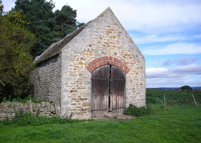
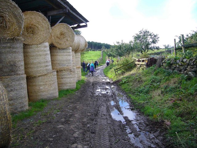
Slaggy Hill Images

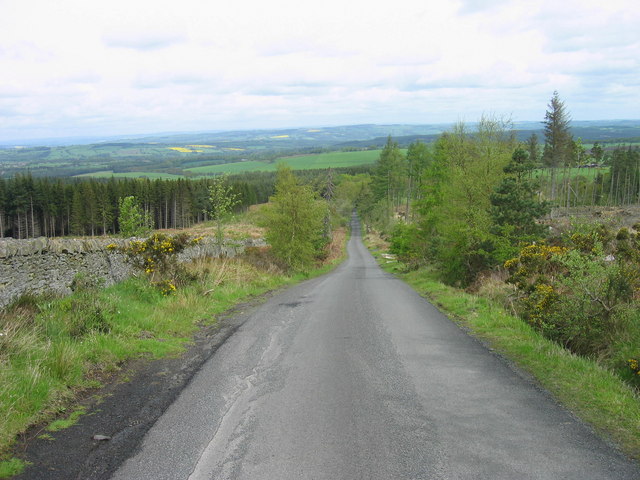
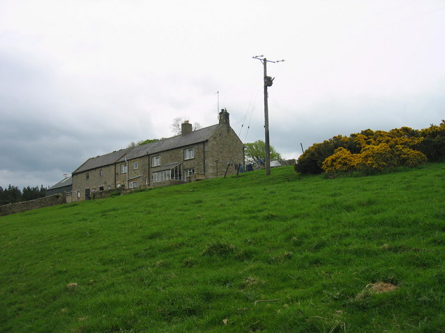
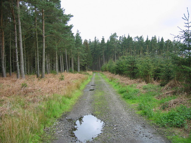
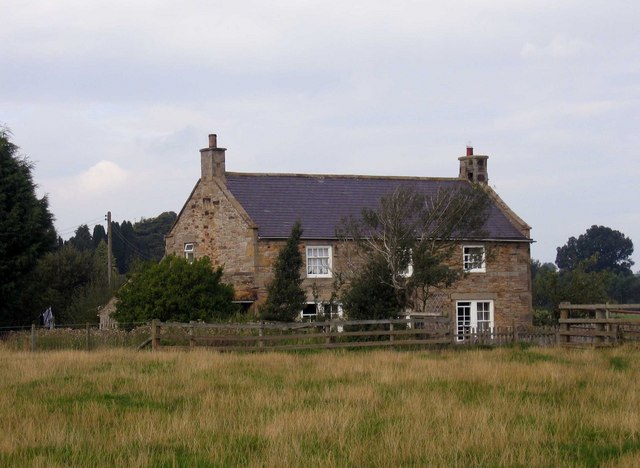
Images are sourced within 2km of 54.901747/-2.0947815 or Grid Reference NY9456. Thanks to Geograph Open Source API. All images are credited.

Sheep graze above Embley West of Slaley Forest, moorland drops down to farmland and pasture dominates. The bridleway from Embley just touches the edge of this gridsquare, offering an uninspiring view across the grazing towards the forest.
Sheep graze above Embley
West of Slaley Forest, moorland drops down to farmland and pasture dominates. The bridleway from Embley just touches the edge of this gridsquare, offering an uninspiring view across the grazing towards the forest.
Byway into Slaley Forest Slaley forest and the surrounding moors seem to be home to an unusual density of both bridleways and byways. Southeast of Viewley on the edge of the plantations, is a crossroads of byways, though the one heading to the south behind the photographer is limited to only two-wheeled motor vehicles, and even then, only in the drier summer months. To the north, the planting is now mature, and not the usual densely packed Sitka Spruce, but more widely spaced pines which certainly provide more opportunities for native wildlife as well as being of far greater amenity value for those who prefer open forest.
Byway into Slaley Forest
Slaley forest and the surrounding moors seem to be home to an unusual density of both bridleways and byways. Southeast of Viewley on the edge of the plantations, is a crossroads of byways, though the one heading to the south behind the photographer is limited to only two-wheeled motor vehicles, and even then, only in the drier summer months. To the north, the planting is now mature, and not the usual densely packed Sitka Spruce, but more widely spaced pines which certainly provide more opportunities for native wildlife as well as being of far greater amenity value for those who prefer open forest.
Forest track branches off byway, Slaley Forest The forest track to the left is guarded by a closed barrier to deter those who use the byway from straying where they are not permitted. Whilst signage implies a significant overuse of the byways by motor traffic, some of them shown on the map seem to have been erased entirely on the ground. The ones that still exist seem sufficiently straight that there can be little scope for noisy rally driving, but no doubt provide sport for mindless boy racers who think it fun to go very fast in a straight line. Signs advise calling Northumbria Police if you see bad behaviour taking place, but don't bother to mention where one might find a phone box to do so.
Forest track branches off byway, Slaley Forest
The forest track to the left is guarded by a closed barrier to deter those who use the byway from straying where they are not permitted. Whilst signage implies a significant overuse of the byways by motor traffic, some of them shown on the map seem to have been erased entirely on the ground. The ones that still exist seem sufficiently straight that there can be little scope for noisy rally driving, but no doubt provide sport for mindless boy racers who think it fun to go very fast in a straight line. Signs advise calling Northumbria Police if you see bad behaviour taking place, but don't bother to mention where one might find a phone box to do so.
Forest track in Slaley Forest A byway is shown on maps running roughly east-west for a kilometre and a half in this area of Slaley Forest, but on the ground, the line it supposedly takes is just densely planted forest. Instead, one is obliged to take a longer route via a number of SW-NE and SE-NW forest tracks such as this one, which are not rights of way of any description (though the bulk of the forest is CROW Access Land).
Forest track in Slaley Forest
A byway is shown on maps running roughly east-west for a kilometre and a half in this area of Slaley Forest, but on the ground, the line it supposedly takes is just densely planted forest. Instead, one is obliged to take a longer route via a number of SW-NE and SE-NW forest tracks such as this one, which are not rights of way of any description (though the bulk of the forest is CROW Access Land).
Floral bicycle in a garden at Whitley Chapel
Irish bridge, Devil's Water This Irish bridge (culverted ford) takes the road over Devil's Water, near Renny's Barn. Will acquire proper ford status after heavy rainfall.
Irish bridge, Devil's Water
This Irish bridge (culverted ford) takes the road over Devil's Water, near Renny's Barn. Will acquire proper ford status after heavy rainfall.
Ford, Devil's Water, Rawgreen There are two fords in quick succession on this rough lane. This is the deeper one, through Devil's Water.
Ford, Devil's Water, Rawgreen
There are two fords in quick succession on this rough lane. This is the deeper one, through Devil's Water.
Mire House near Whitley Chapel
Old School and School House, Whitley Chapel
Dukesfield Smelt Mill, Hexhamshire An old smelt mill stood to the southwest of Dukesfield Mill bridge. It was built in the late 18th century. The ore came from the lead mines owned by Beaumont family in Allendale. The site was demolished in 1836, and now there is nothing to be seen here apart from the gothic arches of the flue.
Dukesfield Smelt Mill, Hexhamshire
An old smelt mill stood to the southwest of Dukesfield Mill bridge. It was built in the late 18th century. The ore came from the lead mines owned by Beaumont family in Allendale. The site was demolished in 1836, and now there is nothing to be seen here apart from the gothic arches of the flue.
Redlead Mill, near Whitley Chapel
Crossroads near Slaley
Road through Slaley Forest This road is a cul-de-sac and leads to a caravan site and quarry.
Road through Slaley Forest
This road is a cul-de-sac and leads to a caravan site and quarry.
Viewley Farm
Viewley Farm
Fell Plantation
Fell Plantation
Moss House, Whitley Chapel Moss House is at the end of a track which leaves the road near the church at Whitley Chapel. Not to be confused with nearby Mire House which is adjacent to the road south of the church.
Moss House, Whitley Chapel
Moss House is at the end of a track which leaves the road near the church at Whitley Chapel. Not to be confused with nearby Mire House which is adjacent to the road south of the church.
Wester Byres A substantial old building in Hexhamshire.
Wester Byres
A substantial old building in Hexhamshire.
Steel Hall Farm Old byway at Steel hall farm
Steel Hall Farm
Old byway at Steel hall farm
Show me another place!

Slaggy Hill is located at Grid Ref: NY9456 (Lat: 54.901747, Lng: -2.0947815)

Unitary Authority: Northumberland

Police Authority: Northumbria

What 3 Words

///healers.imperious.proclaims. Near Slaley, Northumberland

Related Wikis

Hexhamshire

Hexhamshire is a former county and current civil parish in Northern England. It included Hexham, Whitley Chapel, Allendale, and St John Lee (today part...

Whitley Chapel

Whitley Chapel is a village in Northumberland, England about 4 miles (6 km) south of Hexham, and in the parish of Hexhamshire. == Governance == Whitley...

Hexhamshire Low Quarter

Hexhamshire Low Quarter is a former civil parish, now in the parish of Hexhamshire, in Northumberland, England. It was situated to the south of Hexham...

Juniper, Northumberland

Juniper is a hamlet in the English county of Northumberland. It is about 5 miles (8 km) due south of Hexham in the area known as Hexhamshire. There is...

Have you been to Slaggy Hill?

Leave your review of Slaggy Hill below (or comments, questions and feedback).