Fore Hill

Hill, Mountain in Northumberland

England

Fore Hill

Round bales, Berryhill
Round bales, Berryhill Credit: Richard Webb

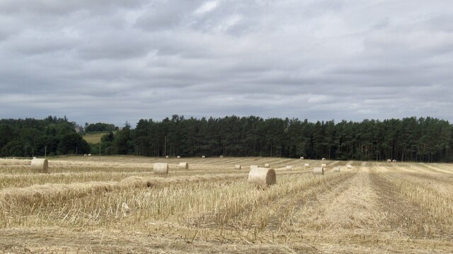
Fore Hill is a prominent hill located in the county of Northumberland, England. Rising to an elevation of approximately 450 meters (1476 feet), it is considered one of the major peaks in the region. Situated in the northern part of the county, Fore Hill is part of the Cheviot Hills, a range known for its picturesque landscapes and natural beauty.

The hill is characterized by its distinctive conical shape, with a narrow and steep ascent leading to its summit. Its slopes are covered in a mixture of grass and heather, providing a vibrant display of colors throughout the year. From the top of Fore Hill, visitors are rewarded with breathtaking panoramic views of the surrounding countryside, including the sprawling Northumberland National Park.

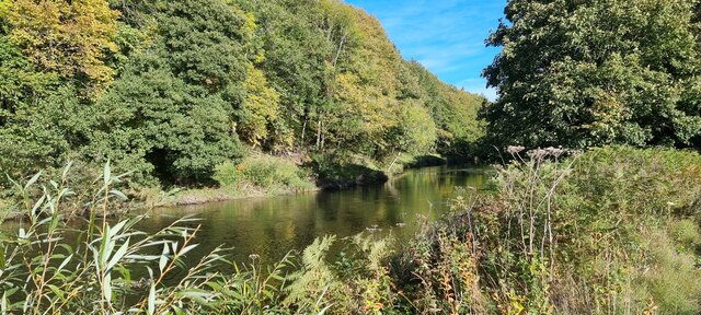
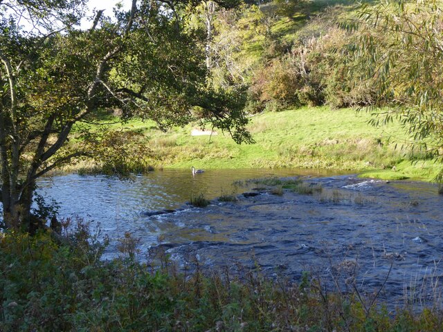
The area surrounding the hill is rich in wildlife, with a diverse range of flora and fauna. This makes Fore Hill a popular destination for nature enthusiasts and hikers, who can explore the numerous walking trails that crisscross its slopes. The hill also attracts birdwatchers, as it serves as a habitat for various species, including red grouse and peregrine falcons.

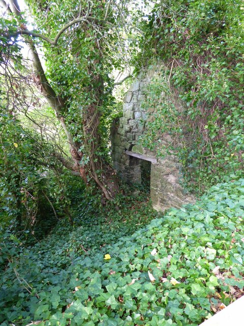
Fore Hill has significant historical and cultural importance as well. It is believed to have been used as a beacon site in ancient times, serving as a means of communication across the region. Today, remnants of these beacons can still be seen at the summit. The hill's location also provides a strategic vantage point, as it overlooks important trade routes and neighboring settlements.

In conclusion, Fore Hill in Northumberland is a striking natural feature with its conical shape, diverse wildlife, and historical significance. It offers visitors a chance to immerse themselves in the beauty of the Cheviot Hills while enjoying panoramic views and exploring its rich heritage.

If you have any feedback on the listing, please let us know in the comments section below.
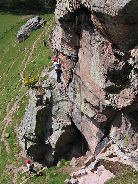
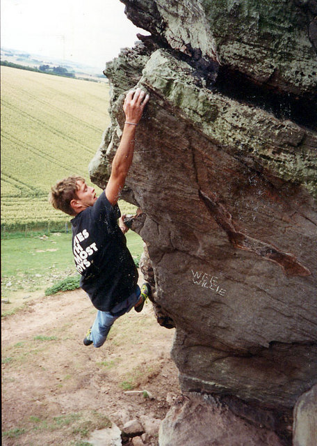
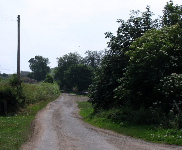
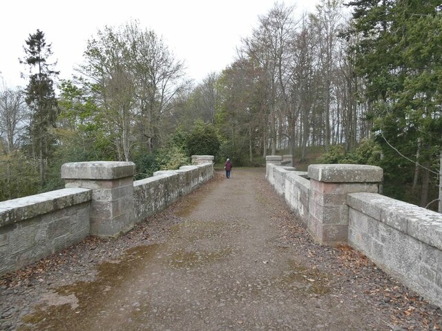
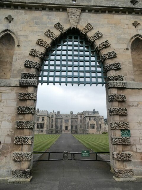
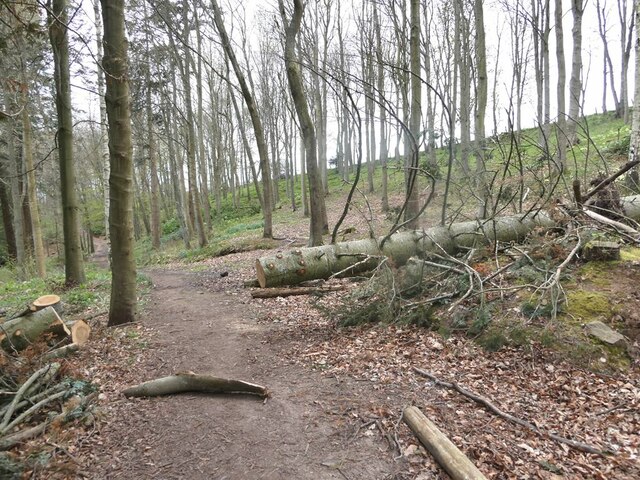
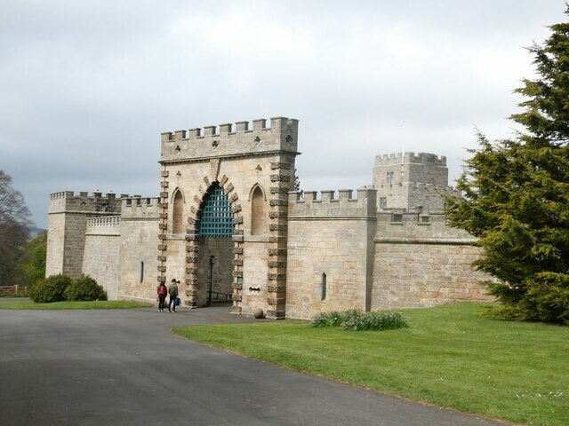
Fore Hill Images

Images are sourced within 2km of 55.644583/-2.1035152 or Grid Reference NT9339. Thanks to Geograph Open Source API. All images are credited.

Round bales, Berryhill
B6354, Berryhill
B6354, Berryhill
Barleymill Covert, Northumberland Looking northeast along the southern bank of the River Till in the vicinity of Barleymill Covert.
Barleymill Covert, Northumberland
Looking northeast along the southern bank of the River Till in the vicinity of Barleymill Covert.
View of the River Till View much improved by Storm Arwen blowing down the now logged tree beside the path.
View of the River Till
View much improved by Storm Arwen blowing down the now logged tree beside the path.
Young swan on the River Till By Barleymill Bank.
Young swan on the River Till
By Barleymill Bank.
Remains of Etal Barley Mill There are records of a mill here since at least the late 18th century.
Remains of Etal Barley Mill
There are records of a mill here since at least the late 18th century.
Rhodes Hill trig
Rhodes Hill trig
Climbing at Berry Hill Superb Northumberland sandstone provides great climbing in the area. The rock is weathered into strange flutings and arches - a friend said it's like climbing on a cathedral. The tracks below are from the sheep & cattle in the field
Climbing at Berry Hill
Superb Northumberland sandstone provides great climbing in the area. The rock is weathered into strange flutings and arches - a friend said it's like climbing on a cathedral. The tracks below are from the sheep & cattle in the field
Berryhill Crag A south facing sandstone crag with some good climbing potential
Berryhill Crag
A south facing sandstone crag with some good climbing potential
Lane to Berryhill farm and crags
Bridge over Grove Dene On the carriage drive from Ford to Etal.
Bridge over Grove Dene
On the carriage drive from Ford to Etal.
For the intrepid visitor End station of a zip wire over the deep gorge of Grove Dene on the Ford and Etal estate.
For the intrepid visitor
End station of a zip wire over the deep gorge of Grove Dene on the Ford and Etal estate.
Ford Castle Although a castle has existed on this site since the 13th century, what is seen here almost all dates from the 18th and 19th centuries. Grade I listed.
Ford Castle
Although a castle has existed on this site since the 13th century, what is seen here almost all dates from the 18th and 19th centuries. Grade I listed.
Parson's Tower, Ford A medieval pele tower on the Ford and Etal estate that once housed the local clergyman.
Parson's Tower, Ford
A medieval pele tower on the Ford and Etal estate that once housed the local clergyman.
Ford Castle Although a castle has existed on this site since the 13th century, what is seen here almost all dates from the 18th and 19th centuries. Grade I listed.
Ford Castle
Although a castle has existed on this site since the 13th century, what is seen here almost all dates from the 18th and 19th centuries. Grade I listed.
Gatehouse and courtyard, Ford Castle Although a castle has existed on this site since the 13th century, what is seen here almost all dates from the 18th and 19th centuries. The portcullis looks less than authentic. Grade I listed.
Gatehouse and courtyard, Ford Castle
Although a castle has existed on this site since the 13th century, what is seen here almost all dates from the 18th and 19th centuries. The portcullis looks less than authentic. Grade I listed.
Footpath in Castle Dene On the Ford Village and Castle Dene signed walk.
Footpath in Castle Dene
On the Ford Village and Castle Dene signed walk.
Gatehouse, Ford Castle Although a castle has existed on this site since the 13th century, what is seen here almost all dates from the 18th and 19th centuries. The portcullis looks less than authentic. Grade I listed.
Gatehouse, Ford Castle
Although a castle has existed on this site since the 13th century, what is seen here almost all dates from the 18th and 19th centuries. The portcullis looks less than authentic. Grade I listed.
Show me another place!

Fore Hill is located at Grid Ref: NT9339 (Lat: 55.644583, Lng: -2.1035152)

Unitary Authority: Northumberland

Police Authority: Northumbria

What 3 Words

///dressing.elder.attaching. Near Ford, Northumberland

Related Wikis

Heatherslaw Mill

Heatherslaw Mill is a water mill situated on the Ford and Etal Estate, 7 miles north of the town of Wooler in the English county of Northumberland. It...

Ford Forge

Ford Forge (Ford Mill), Northumberland, England is located on the River Till between the villages of Ford and Etal. Buildings housing a water-powered forge...

Etal, Northumberland

Etal ( EE-təl) is a small village in the far north of the county of Northumberland, England, in the civil parish of Ford. It lies on a bridging point of...

Etal Castle

Etal Castle is a ruined medieval fortification in the village of Etal, Northumberland, England. It was built around 1341 by Robert Manners, and comprised...

Nearby Amenities

Located within 500m of 55.644583,-2.1035152
Power: pole
Lat/Long: 55.6402463/-2.1035111
Power: pole
Lat/Long: 55.6410734/-2.1034138
Power: pole
Lat/Long: 55.6416906/-2.1033558
Power: pole
Lat/Long: 55.6423255/-2.1032844
Power: pole
Lat/Long: 55.6429628/-2.1032219
Power: pole
Lat/Long: 55.6436883/-2.103146
Power: pole
Lat/Long: 55.6444638/-2.1030734
Power: pole
Lat/Long: 55.6447548/-2.1031931
Power: pole
Lat/Long: 55.644916/-2.1032556
Power: pole
Lat/Long: 55.6450399/-2.1026446
Power: pole
Lat/Long: 55.6451843/-2.1033293
Power: pole
Lat/Long: 55.645615/-2.1034654
Power: pole
Lat/Long: 55.6456322/-2.1022037
Power: pole
Lat/Long: 55.6459384/-2.1010445
Power: pole
Lat/Long: 55.6460835/-2.1036082
Power: pole
Lat/Long: 55.6463677/-2.1001092
Power: pole
Lat/Long: 55.6465407/-2.1037555
Power: pole
Lat/Long: 55.6466562/-2.0995237
Power: pole
Lat/Long: 55.6469022/-2.1038537
Power: pole
Lat/Long: 55.6470723/-2.1000161
Power: pole
Lat/Long: 55.6471212/-2.0985574
Noexit: yes
Lat/Long: 55.6445209/-2.1041716
Noexit: yes
Lat/Long: 55.6446374/-2.1035574
Direction: 145
Generator Method: photovoltaic
Generator Output Electricity: yes
Generator Solar Modules: 20
Generator Source: solar
Generator Type: solar_photovoltaic_panel
Location: roof
Power: generator
Lat/Long: 55.6456318/-2.1014531
Direction: 145
Generator Method: photovoltaic
Generator Output Electricity: yes
Generator Solar Modules: 20
Generator Source: solar
Generator Type: solar_photovoltaic_panel
Location: roof
Power: generator
Lat/Long: 55.6457574/-2.1014638
Communication Mobile Phone: yes
Man Made: tower
Tower Type: communication
Lat/Long: 55.6456462/-2.1022423
Noexit: yes
Lat/Long: 55.6456999/-2.1010843
Power: pole
Lat/Long: 55.6447127/-2.1028881
Power: pole
Lat/Long: 55.6471567/-2.101213
Power: pole
Lat/Long: 55.6471779/-2.1003802
The data included in this document is from www.openstreetmap.org. The data is made available under ODbL.

Have you been to Fore Hill?

Leave your review of Fore Hill below (or comments, questions and feedback).